Curated by PaddleWays
RouteClass I–III
- Distance
- 2.4 mi
- Paddle time
- ~0.5 hrs
- Best for
- Intermediate paddlers
- Put-in → take-out
- Tate City Road Access → Tallulah River
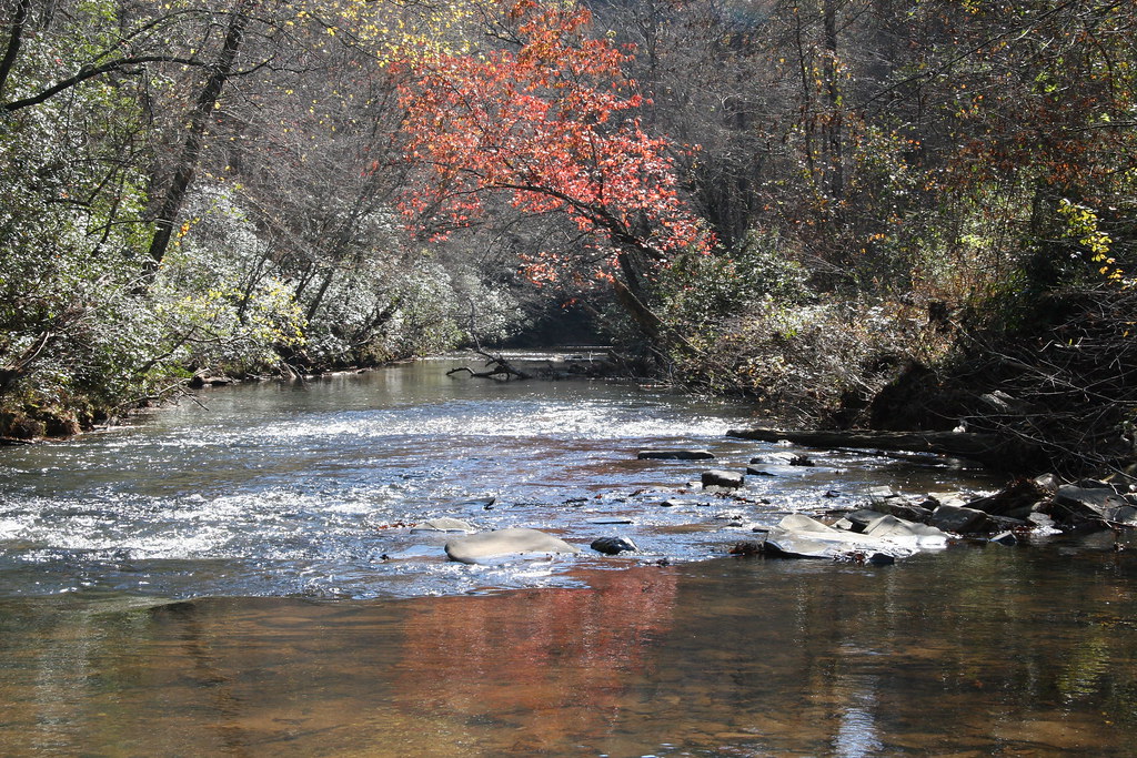
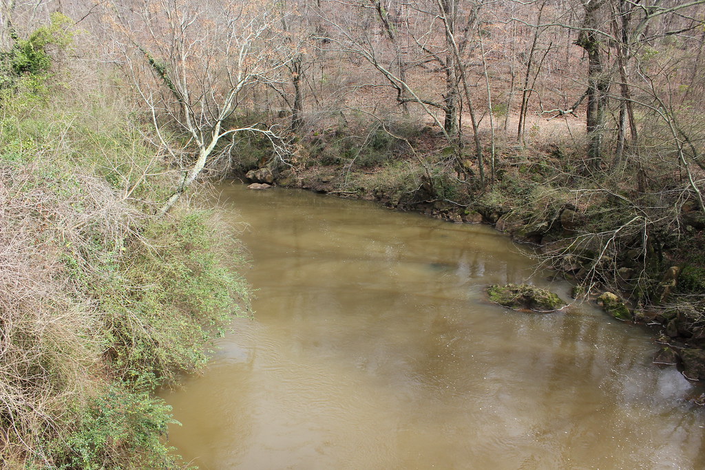
The Tallulah River is a waterway located in northeastern Georgia, offering paddlers a range of experiences from peaceful flat water to intense whitewater. Originating near the Georgia-North Carolina border, the river flows south through the Chattahoochee National Forest before carving its way through the spectacular Tallulah Gorge.
The river can be divided into several distinct sections, each with its own character and challenges. The upper reaches, from the state line to Tate Branch Campground, provide a gentle Class I-II(III) experience suitable for beginners and intermediate paddlers. This 5.5-mile stretch winds through relatively untouched wilderness, offering beautiful scenery and occasional small rapids.
As the river continues downstream, it becomes more challenging. The section from Old Highway 441 to Tallulah Falls Lake offers 4 miles of Class II-III rapids, providing an exciting run for intermediate paddlers. This stretch is popular for its accessibility and good mix of rapids and calmer water.
The most famous and challenging section is the 2.5-mile Tallulah Gorge run, rated Class IV-V. This intense stretch drops over 500 feet in one mile, featuring a series of six waterfalls and powerful rapids. Due to its difficulty, this section is only suitable for expert kayakers and rafters.
Paddling opportunities on the Tallulah River are heavily influenced by seasonal water releases. The Gorge section is typically only accessible during scheduled releases in April and November, when flows are increased to 500-700 cubic feet per second (cfs). Outside of these times, the river flow is much lower, around 35-40 cfs, which limits paddling options in the Gorge.
The Tallulah River corridor is home to diverse flora and fauna typical of the southern Appalachians. Paddlers may spot various hardwood species, including oaks and maples, as well as native wildlife such as black bears, white-tailed deer, and a variety of bird species.
Notable landmarks along the river include the Coleman River Scenic Area, where the Coleman River joins the Tallulah, and of course, Tallulah Gorge State Park. The park offers rim trails with spectacular overlooks of the gorge and its waterfalls, including L'Eau d'Or, Tempesta, Hurricane, Oceana, and Bridal Veil.
Access to the river is available at several points, with the towns of Clayton and Tallulah Falls serving as primary gateways. The upper sections can be accessed via Forest Service roads, while the Gorge section has specific put-in and take-out points managed by Georgia Power and the state park.
Historically, the Tallulah River played a significant role in the region's development. The construction of a series of dams in the early 20th century transformed parts of the river, creating lakes and altering its flow. The Tallulah Falls Railway, which once ran along the western rim of the gorge, brought tourists to view the falls in the late 19th and early 20th centuries.
Safety is a primary concern, especially in the Gorge section. All paddlers must adhere to strict regulations, including mandatory safety equipment and time constraints for exiting the river. The Gorge's challenging nature and limited access make it crucial for paddlers to be well-prepared and respect their skill limitations.
While most paddling trips on the Tallulah River are day excursions, multi-day trips can be arranged by combining different sections or incorporating nearby rivers like the Chattooga. Camping options are available at several points along the river, including Tate Branch Campground and various sites within Tallulah Gorge State Park.
The Tallulah River offers a unique blend of natural beauty, thrilling whitewater, and rich history, making it a premier destination for paddlers and outdoor enthusiasts in the Southeast.
Curated routes
Hand-picked by the PaddleWays team, with put-ins, take-outs, paddle times and the hazards along the way.
RouteClass I–III
RouteClass II–III
RouteClass V
Hazards
No paddler has reported a hazard here yet, so these are the dams, falls and big rapids on our map. Hazards change with flows and storms, so check them before you launch.
From the community
Nobody has shared a trip on Tallulah River yet. Paddle it, then tell the next paddler how it went.
See exactly where the public can get on and off the river. Launch points and boat ramps are paired with PaddleWays' public land data so you know where you can legally land.
Public shoreline
25%of the river's shoreline is public
Most of the riverbank is private. Launch, land and camp only at public access points.
Flows, weather and a route-by-route verdict, so you know which stretch of the Tallulah River is worth paddling today.
All Flow Stations
Scheduled releases and generation forecasts from the dams on Tallulah River.
Tallulah River · Tallulah Gorge · Georgia Power
Next release Sat, Nov 21, 8:00 AM EST to 4:00 PM EST
Schedules can change, so check the operator's page before you go.
Live flows, marked hazards and fresh trip reports from paddlers who were just on the water, all in one place.





Every user gets free access to launch points, boat ramps, and public property parcels.
Loading popular cities...
PaddleWays gives you everything you need to plan smarter, paddle better, and own every trip from first launch to takeout.