Curated by PaddleWays
RouteClass I–II
- Distance
- 7.4 mi
- Paddle time
- ~2.5 hrs
- Best for
- Kayak, canoe, tube
- Put-in → take-out
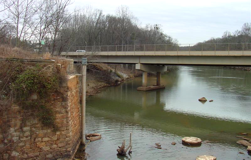
- Highway 28 Boat Ramp → Earls Ford Boat Ramp
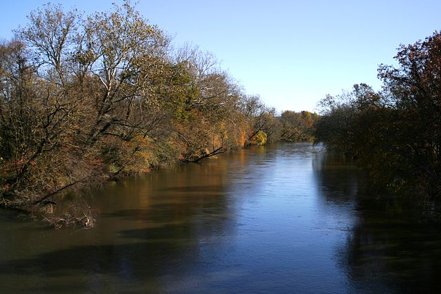
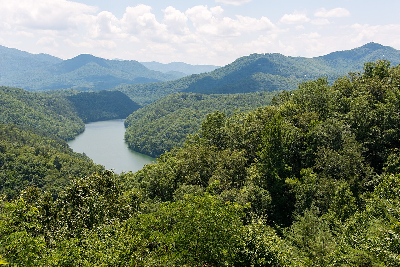
The Chattooga River originates on the southern slopes of Whiteside Mountain near Cashiers in Jackson County, North Carolina, at approximately 3,000 feet elevation. From these mountain headwaters, the river flows roughly 57 miles southwestward, forming the boundary between Rabun County, Georgia and Oconee County, South Carolina before terminating at Lake Tugalo at 950 feet elevation. This dramatic 2,050-foot descent creates one of the Southeast's premier whitewater destinations. Designated as a National Wild and Scenic River in 1974—the first such designation east of the Mississippi—the Chattooga remains a free-flowing stream with no dams controlling its flow. The river responds directly to rainfall, creating variable conditions that range from technical low-water challenges to powerful high-water runs. The protected corridor extends approximately one-quarter mile on either side of the river, maintaining a pristine wilderness character.
Paddling opportunities span the full spectrum of difficulty. The West Fork (Section I) offers Class II water suitable for novices and tubers, beginning at Overflow Road Bridge and flowing to Highway 28. Section II from Highway 28 to Earls Ford presents Class I-II rapids with one notable Class III at Big Shoals. Section III escalates to Class II-IV whitewater, culminating in Bull Sluice, a formidable Class IV-V rapid near the Highway 76 bridge. Section IV delivers the river's most intense challenge: 8 miles of Class IV-V whitewater including the legendary Five Falls—a quarter-mile stretch dropping 75 feet through Entrance, Corkscrew, Crack-in-the-Rock, Jawbone, and Sock'em Dog rapids. The notorious Woodall Shoals, rated Class VI, is typically portaged due to its deadly hydraulics.
Spring and early summer provide peak flows with cooler temperatures, while late summer and fall offer lower, more technical conditions. The river flows year-round, though winter access can be challenging.
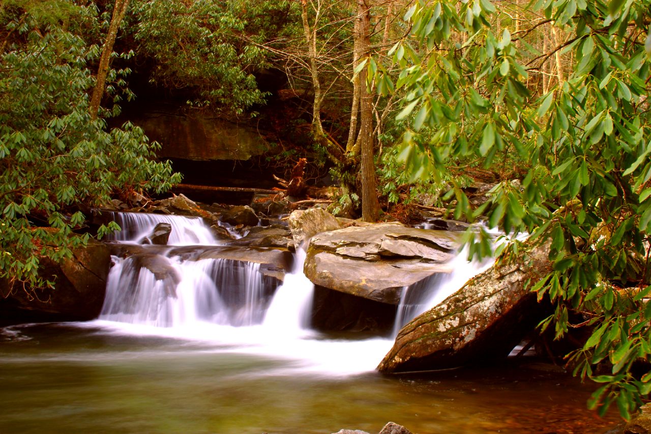
The corridor supports old-growth bottomland hardwood forests with towering hemlocks, white pines, and river birch. Mountain laurel and rhododendron create spectacular blooms in late spring. Wildlife includes deer, black bear, wild turkey, and numerous bird species. The river harbors native brook trout in upper reaches and stocked brown and rainbow trout throughout.
Key landmarks include Ellicott Rock marking the tri-state boundary, Big Bend Falls, Lick Log Falls, Long Creek Falls, and Dick's Creek Falls. The river bisects the Ellicott Rock Wilderness spanning three states and three national forests.
Primary access points include Bull Pen Bridge and Burrell's Ford Bridge in the headwaters, Russell Bridge (GA 28) for Section II, Earls Ford between Sections II and III, and Highway 76 Bridge between Sections III and IV. Clayton, Georgia serves as the primary gateway town in Rabun County, while Mountain Rest provides South Carolina access in Oconee County.
The river gained fame from the 1972 film "Deliverance," though its whitewater reputation was well-established before Hollywood arrived. Cherokee settlements including Chattooga Town once occupied the valley, and evidence of early logging operations—including splash dam remnants—remains visible.
All boaters must complete self-registration permits at designated access points. No motorized boats are permitted. Commercial rafting operates March through October, with minimum age requirements of 8 years for Section III and 12 years for Section IV. The river has claimed numerous lives; proper equipment, skills, and respect for conditions are essential. Multi-day options include overnight camping at designated sites along the river corridor, with a popular two-day itinerary combining Section III on day one with Section IV on day two.
Curated routes
Hand-picked by the PaddleWays team, with put-ins, take-outs, paddle times and the hazards along the way.
RouteClass I–II
RouteFlatwater
RouteClass III–V
RouteClass IV–V
RouteClass II–III
RouteClass II–IV
Hazards
No paddler has reported a hazard here yet, so these are the dams, falls and big rapids on our map. Hazards change with flows and storms, so check them before you launch.
From the community
Real trips from PaddleWays paddlers: which route they ran, how the flows were, and what to watch for.
Loading trip reports
Cara C.
Kayak •
not recommended if low water
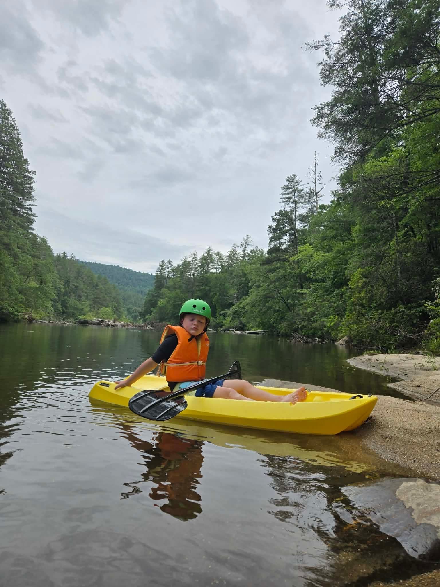
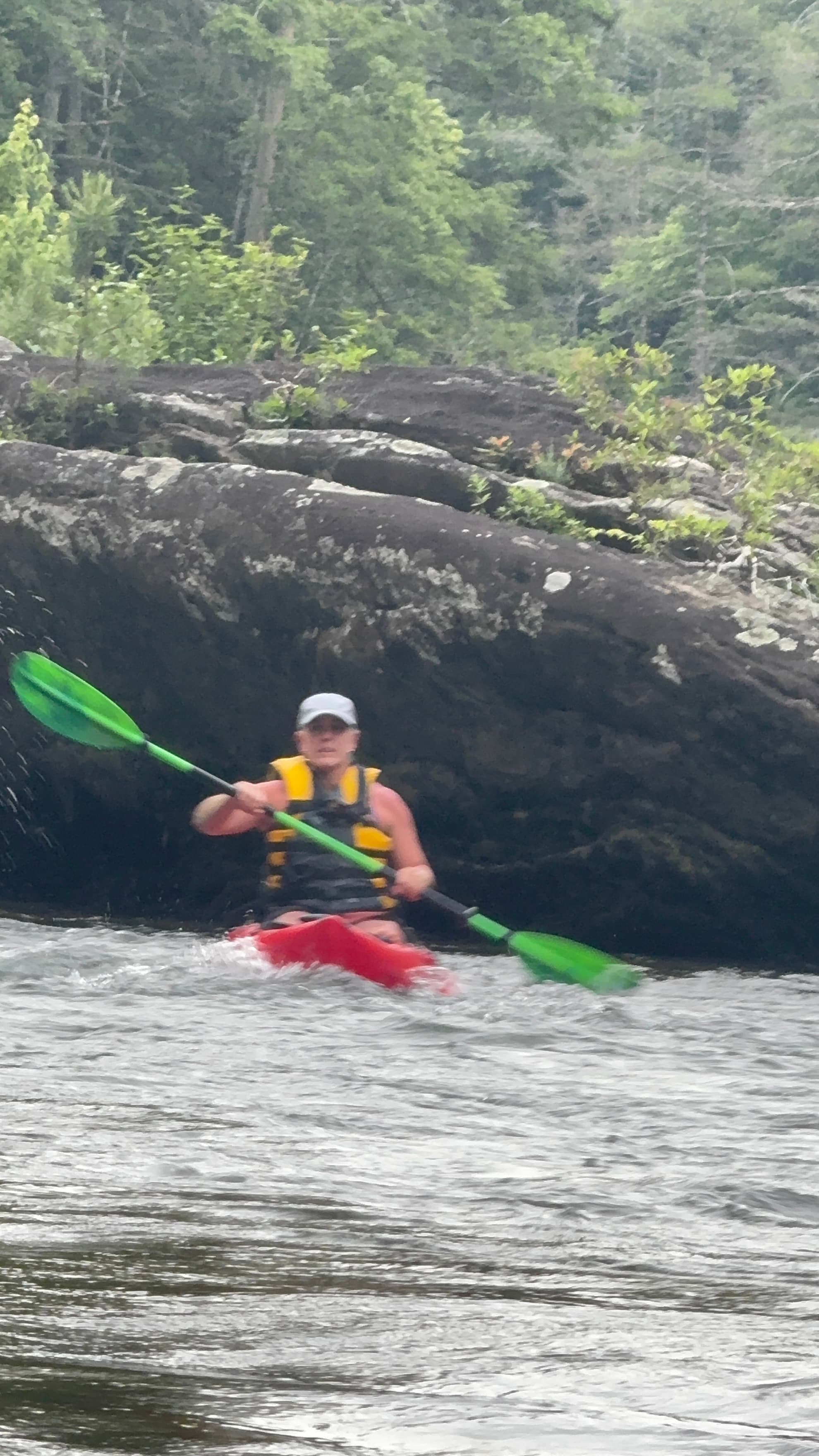
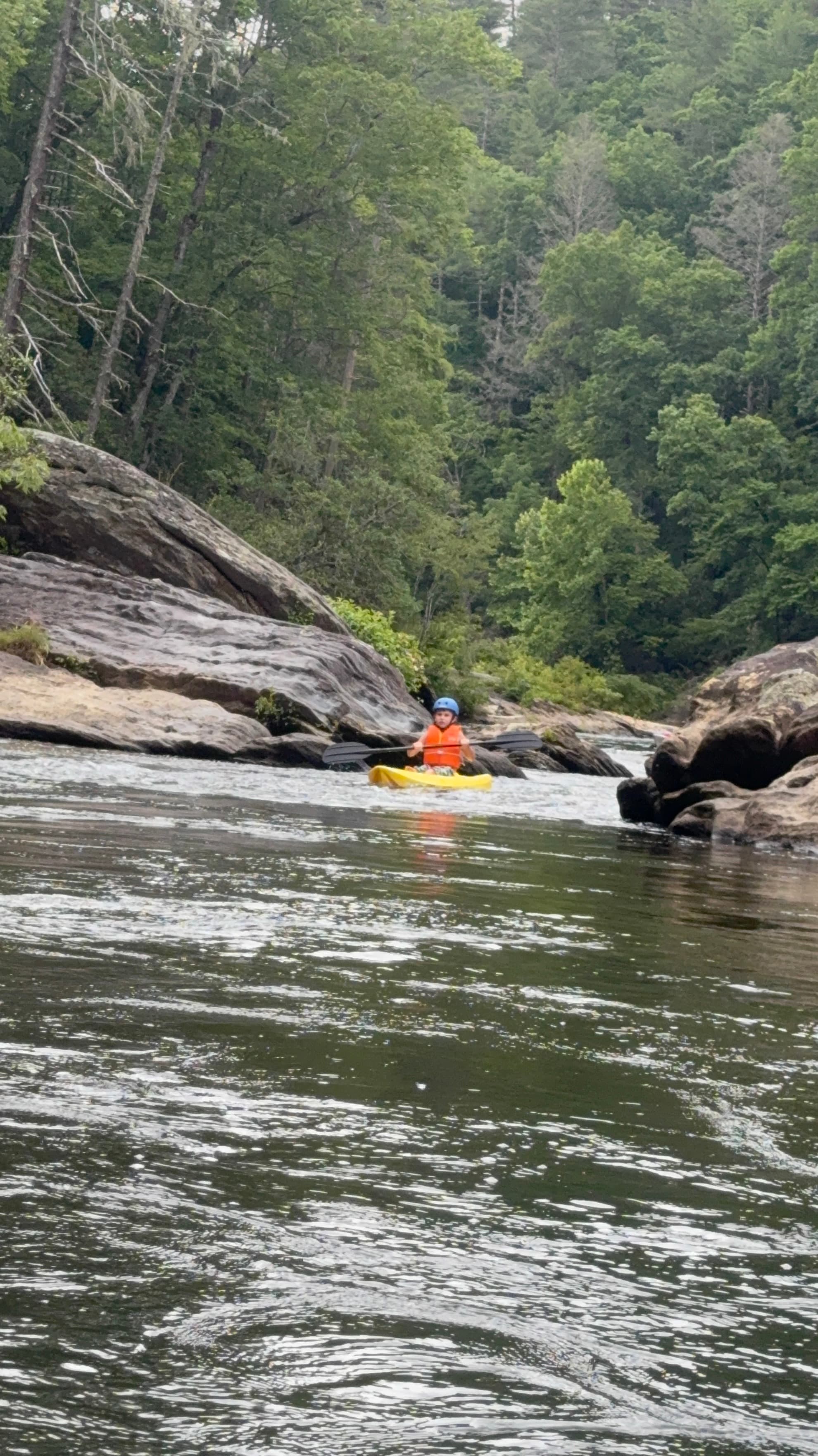 +7
PaddleWays paddler
Highway 28 Boat Ramp to Earls Ford Boat Ramp
See exactly where the public can get on and off the river. Launch points and boat ramps are paired with PaddleWays' public land data so you know where you can legally land.
Public shoreline
88%of the river's shoreline is public
Flows, weather and a route-by-route verdict, so you know which stretch of the Chattooga River is worth paddling today.
All Flow Stations
Live flows, marked hazards and fresh trip reports from paddlers who were just on the water, all in one place.





Every user gets free access to launch points, boat ramps, and public property parcels.
What you need to float or boat Chattooga River, and when to apply.
Self-issue permit · All boaters · Required year-round
Every boater on the Chattooga needs a free self-registration permit from the put-in.
Checked Nov 4, 2026 with Sumter National Forest
Loading popular cities...
PaddleWays gives you everything you need to plan smarter, paddle better, and own every trip from first launch to takeout.