Chauga River
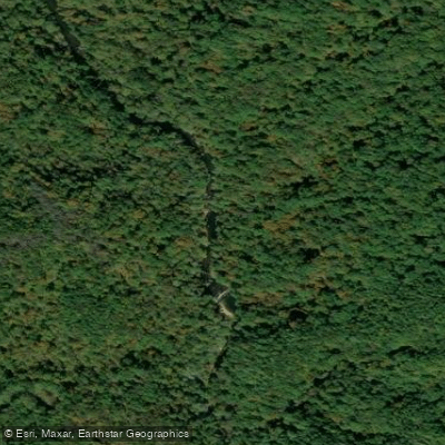
Chauga River
- Boat Ramps
- 1
- Access Points
- 12
- Campsites
- 4
The Chauga River is a 31.3-mile long tributary of the Tugaloo River, located entirely within Oconee County, South Carolina. It originates at the confluence of Village Creek and East Village Creek near Mountain Rest in the Andrew Pickens Ranger District of Sumter National Forest. The river flows generally southward before joining the Tugaloo River, which forms part of Lake Hartwell.
The Chauga offers diverse paddling opportunities across several distinct sections. The upper reaches, designated as an Outstanding Water Resource by the South Carolina Department of Natural Resources, feature challenging Class IV rapids in the Chauga Gorge section. This 9.8-mile stretch from Cassidy Bridge Road to Cobbs Bridge Road is best suited for experienced whitewater kayakers and canoeists. Downstream, the river's character changes, providing options for intermediate paddlers. The 5.4-mile Chauga Narrows section (Route 193 to Cassidy Bridge) offers Class II-III rapids with some Class V features. The Lower Chauga, a 7.5-mile section from Cobbs Bridge Road to North Horseshoe Bridge Road, features mostly Class I and II rapids with occasional Class III challenges, making it suitable for a wider range of skill levels.
As a freestone river, the Chauga's flow is primarily influenced by rainfall, with the best paddling typically occurring in spring and after heavy rains. The river is characterized by steep gradients and rapid currents, especially in its upper sections. The Chauga flows through a scenic backdrop of the Sumter National Forest, offering paddlers views of diverse Appalachian flora and opportunities to spot wildlife. Chau Ram County Park, located at the confluence of Ramsey Creek and the Chauga River, serves as a notable landmark and access point.
Primary access points include Route 290/Cassidy Bridge Road near Mountain Rest, Cobbs Bridge Road, and North Horseshoe Bridge Road. The river is easily accessible from the nearby towns of Westminster, Walhalla, and Long Creek, as well as Highways 76 and 123. Paddlers should be aware of rapid difficulty changes between sections and the potential for strainers and undercut rocks, especially in the gorge section. Multi-day trips are possible, with designated first-come, first-serve camping areas available within the National Forest.
The Chauga River, with its pristine upper reaches and variety of paddling experiences, represents an important recreational resource in the South Carolina Upcountry, offering everything from challenging whitewater to more relaxed scenic floats.
Water access, boat ramps & amenities
Learn how to get on Chauga River. Uncover great paddling access points, boat ramps, and all the facilities you need for an unforgettable day on the water. Some locations shown may border or include private property. Always check property boundaries and applicable regulations before visiting. PaddleWays's Public & Private Land layer can help you plan your access with confidence.
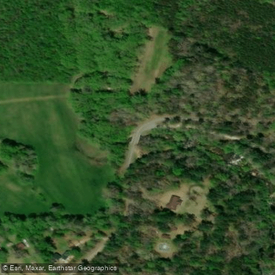
Verner Mill Road Access
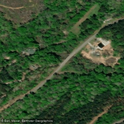
North Horseshoe Bridge Access
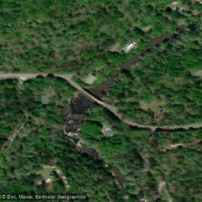
Cobbs Bridge Access
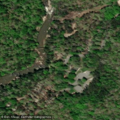
Chau Ram County Park Access
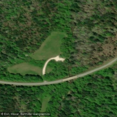
Cassidy Bridge Access
Land Bridge Bank Access
Grapevine Access
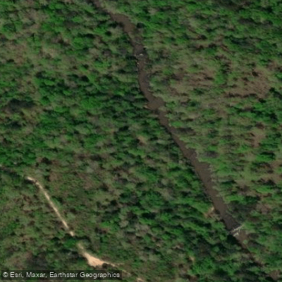
Riley Moore Ford Bank Access
Hellhole Swamp Bank Access
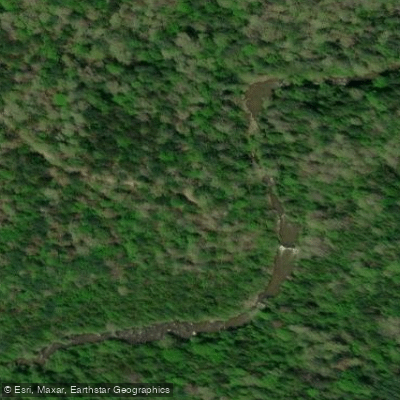
Double Branch Bank Access
Paddle smarter with real-time insights
Whether you're en route and conditions shift or you're looking for the best spot based on current flows, we enable you to make informed decisions on the fly.








Find Places to Paddle

Over 400,000 Places to Paddle
Every user gets free access to launch points, boat ramps, and public property parcels.


Water and weather conditions (10 day forecast)
See the best times to paddle Chauga River and check the forecast before you go.
CHAUGA RIVER ABOVE WESTMINSTER, SC
Paddling near Chauga River

Savannah River

Saluda River

French Broad River
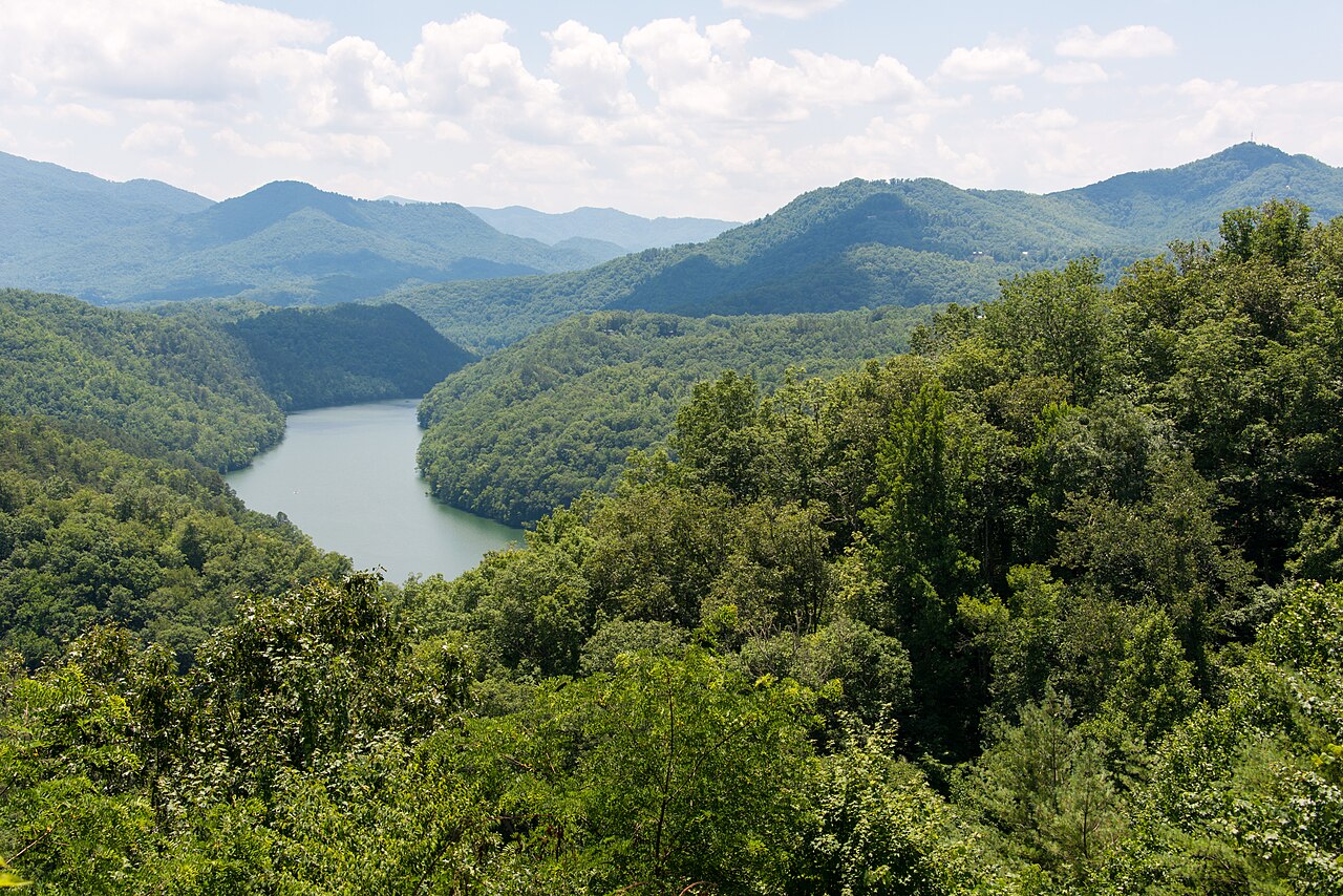
Tuckasegee River
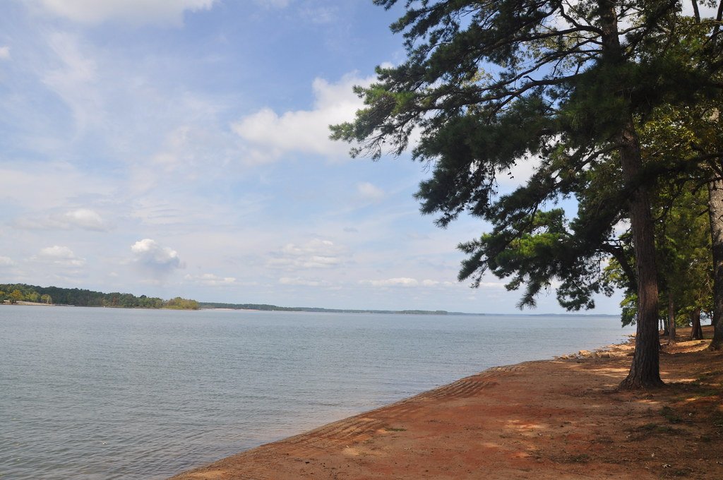
Hartwell Lake
Richard B Russell Lake
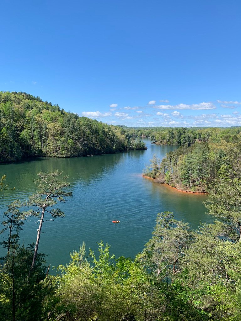
Lake Keowee
Broadway Lake
Secession Lake
Explore South Carolina waters
Top paddling waters
Popular Cities
Loading popular cities...
Explore near Chauga River
Access points
Nearby waters
More in South Carolina

Smarter Paddling Starts in the App.
Paddleways gives you everything you need to plan smarter, paddle better, and own every trip from first launch to takeout.