Nippersink Lake
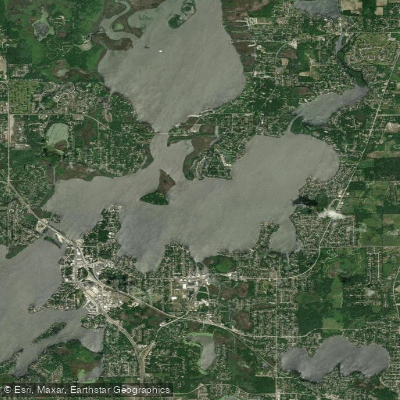
Nippersink Lake
- Boat Ramps
- 4
- Access Points
- 5
- Campsites
- 7
Nippersink Creek in northeastern Illinois offers a scenic paddling experience through glacial landscapes and woodlands. The creek is the largest tributary to the Fox River, supporting diverse aquatic life and birdwatching opportunities. Paddlers can access a 15.25-mile route from Keystone Landing in Richmond to the Nippersink Canoe Base in Spring Grove. The first segment from Keystone to Pioneer Landing (6.5 miles) is considered the most scenic, featuring glacial moraines and kames visible from the water.
The creek is generally shallow and calm, with numerous easy riffles throughout, especially in the first two-thirds of the route. Water clarity is typically good, with a sand-gravel bottom. Low-lying tree limbs and 20-foot high banks create an intimate paddling environment in some sections. Oak trees are prominent along the banks, particularly towards the end of the route.
Hazards include one set of barbed wires in the middle segment, marked with fluorescent tape. The creek narrows after the Prairie Trail bike path bridge. Paddlers should be aware that only the section from Keystone Landing to Pioneer Landing is maintained by the Conservation District.
The McHenry County Conservation District prohibits tubing and flotation devices on Nippersink Creek. Paddling is not advised during drought conditions or after heavy rains. When water levels exceed 650 cubic feet per second or 6.5 feet, launches are closed due to low bridge clearance. A minimum of 100 cfs is recommended for an enjoyable canoe trip.
Fall offers scenic autumn foliage, though paddlers should be prepared for shorter daylight hours. Several well-maintained access points with parking, water pumps, and toilets are available along the route. Wildlife sightings may include herons, wood ducks, deer, and various fish species.
Water access, boat ramps & amenities
Learn how to get on Nippersink Lake. Uncover great paddling access points, boat ramps, and all the facilities you need for an unforgettable day on the water. Some locations shown may border or include private property. Always check property boundaries and applicable regulations before visiting. PaddleWays's Public & Private Land layer can help you plan your access with confidence.

Paddle smarter with real-time insights
Whether you're en route and conditions shift or you're looking for the best spot based on current flows, we enable you to make informed decisions on the fly.








Find Places to Paddle

Over 400,000 Places to Paddle
Every user gets free access to launch points, boat ramps, and public property parcels.


Water and weather conditions (10 day forecast)
See the best times to paddle Nippersink Lake and check the forecast before you go.
NIPPERSINK LAKE AT FOX LAKE, IL
All Flow Stations
Paddling near Nippersink Lake

Lake Michigan
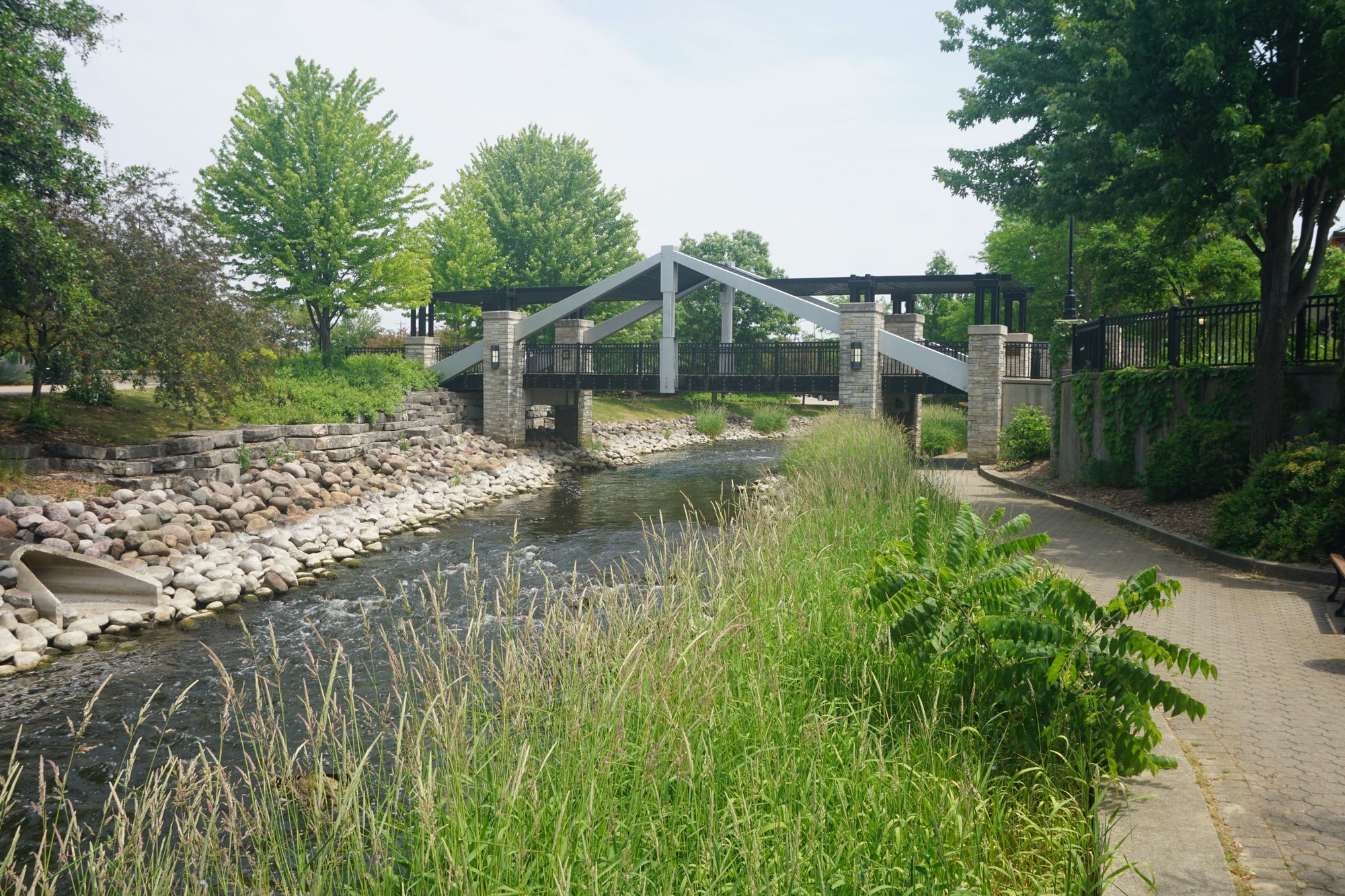
Fox River
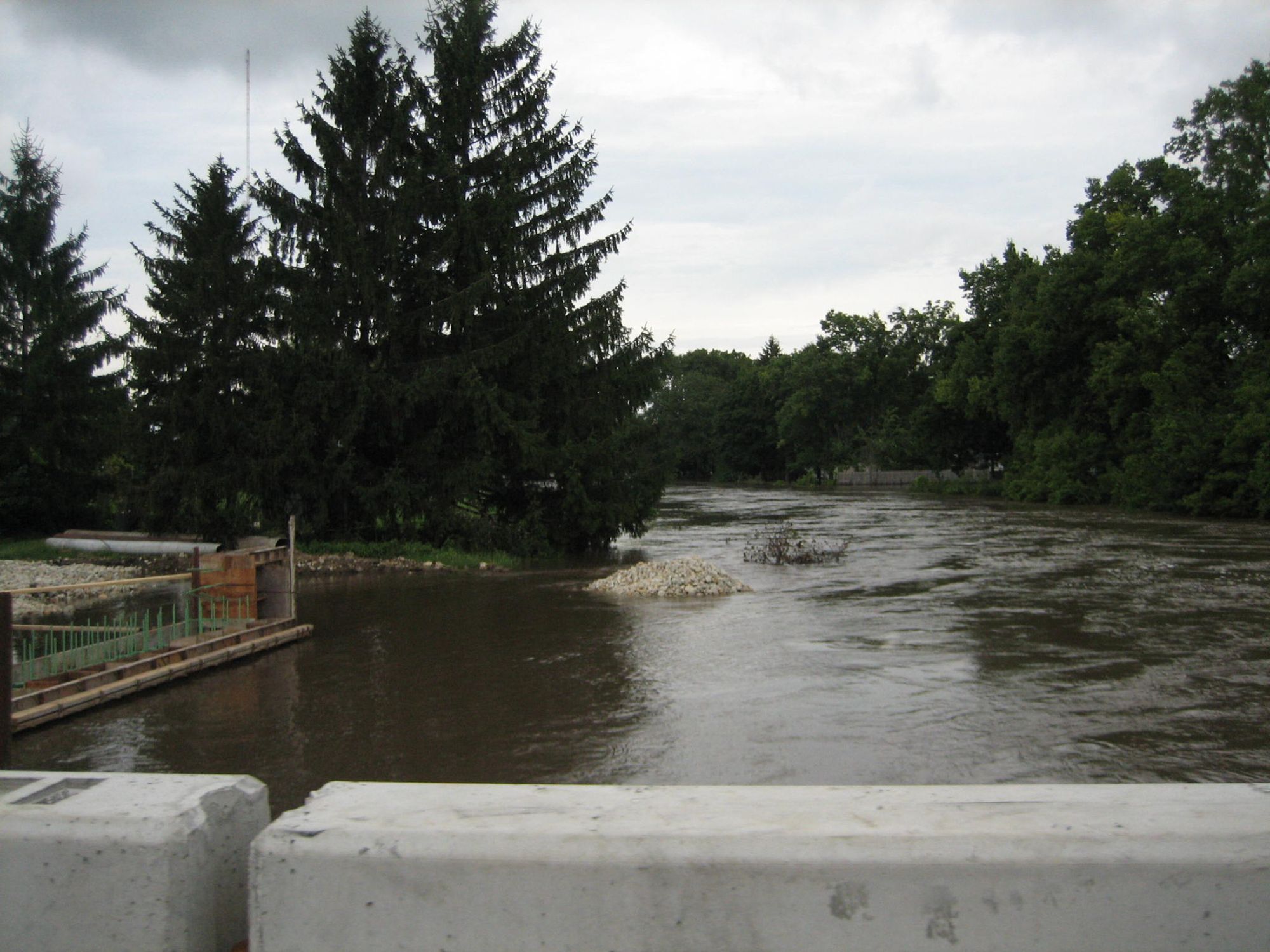
Kishwaukee River
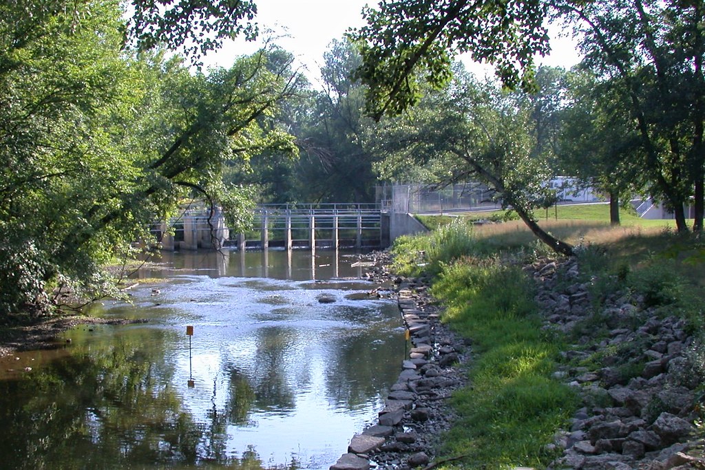
Root River

Rock River
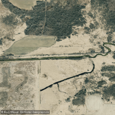
Bark River
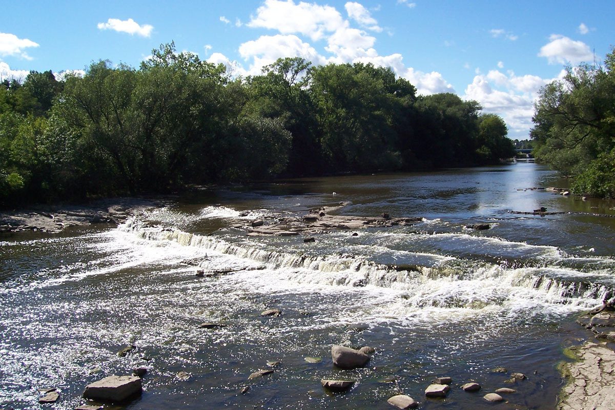
Milwaukee River
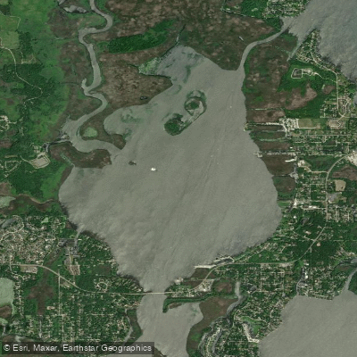
Grass Lake
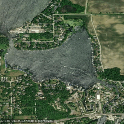
Bluff Lake
Explore Illinois waters
Top paddling waters
Popular Cities
Loading popular cities...
Explore near Nippersink Lake
Access points
Nearby waters
More in Illinois

Smarter Paddling Starts in the App.
Paddleways gives you everything you need to plan smarter, paddle better, and own every trip from first launch to takeout.