Root River
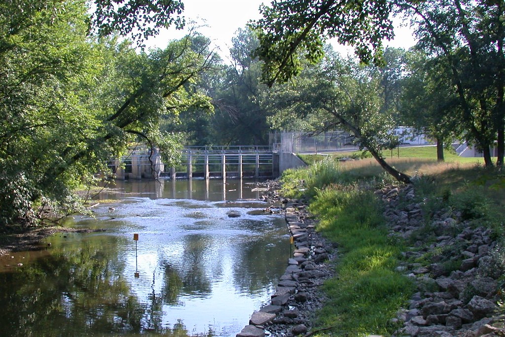
Root River
- Boat Ramps
- 1
- Access Points
- 11
- Campsites
- 1
The Root River originates in western Milwaukee and eastern Waukesha Counties, flowing southeast for approximately 47 miles before emptying into Lake Michigan at Racine. The river drains a watershed of roughly 198 square miles across these three counties, serving as a significant tributary system in southeastern Wisconsin. Its course transitions from rural agricultural landscapes in the headwaters to increasingly urbanized corridors as it approaches Lake Michigan.
**Paddling Opportunities** The Root River offers varied paddling experiences through Milwaukee, Waukesha, and Racine Counties. The most accessible and popular sections lie within Racine County, where the Root River Pathway parallels portions of the waterway. Multiple access points exist along the river's lower reaches, with formal launches at River Bend Nature Center and near Horlick Park. The river's character changes considerably from upstream agricultural areas to the more developed downstream sections, with the segment from Nicholson Road to STH 38 providing approximately 10 miles of paddling through mixed environments.
**Water Conditions and Timing** Spring runoff typically provides the most reliable water levels for paddling, though the Root River maintains navigable flows through much of the year due to its substantial watershed. Summer and early fall offer more leisurely conditions, though water levels can drop during dry periods. The river's gradient is generally moderate, making it suitable for intermediate paddlers, though occasional shallow sections and potential obstacles require basic maneuvering skills.
**Natural Features** The Root River corridor supports diverse riparian habitats, with wetlands, woodlands, and floodplain forests providing wildlife habitat. The watershed encompasses several natural areas of regional significance, including the Root River Riverine Forest and various wetland complexes. Anglers target the river for its trout and salmon fishery in the lower reaches below Horlick Dam, which is stocked by the Wisconsin DNR and connected to Lake Michigan's fishery.
**Access and Landmarks** Key access points include River Bend Nature Center in Caledonia, Linwood Park, and areas near the confluence with Lake Michigan in Racine. The river passes through or near several communities including Franklin in Milwaukee County and multiple municipalities in Racine County. The Horlick Dam, located approximately 1,150 feet south of Caledonia in Racine, represents a significant barrier to navigation and marks the transition to the Lake Michigan-influenced lower river.
**Conservation Context** The Root River Watershed Restoration Plan addresses ongoing water quality concerns and habitat improvements throughout the system. Riparian buffer protection and streambank stabilization projects continue along various reaches. Paddlers should be aware that portions of the river traverse private property, requiring respect for landowner rights and adherence to designated access points.
Water access, boat ramps & amenities
Learn how to get on Root River. Uncover great paddling access points, boat ramps, and all the facilities you need for an unforgettable day on the water. Some locations shown may border or include private property. Always check property boundaries and applicable regulations before visiting. PaddleWays's Public & Private Land layer can help you plan your access with confidence.
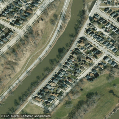
Riverside Park Access
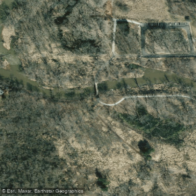
Colonial Park Access
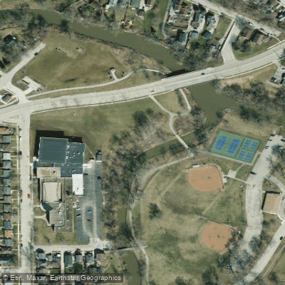
Lee Park Access
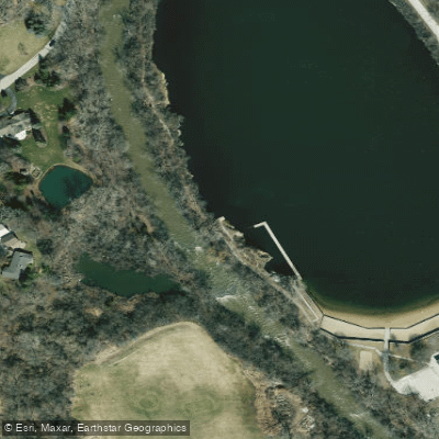
Quarry Lake Access
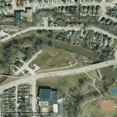
Brose Park Access
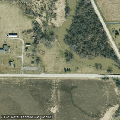
Linwood Park Access
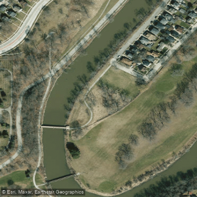
Cedar Bend Park Access
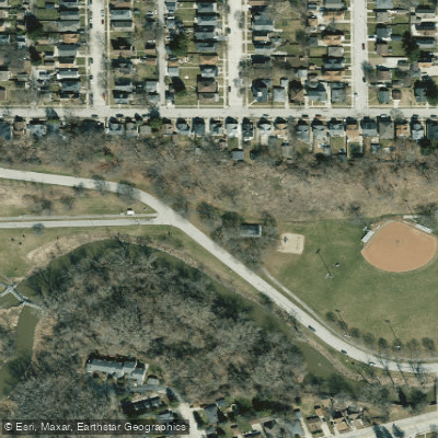
Lincoln Park Access
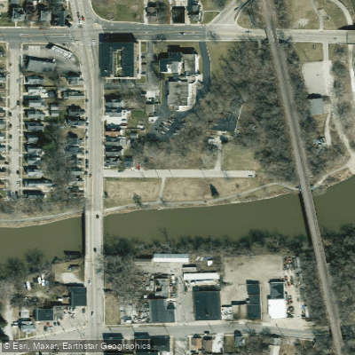
Barbee Park Access
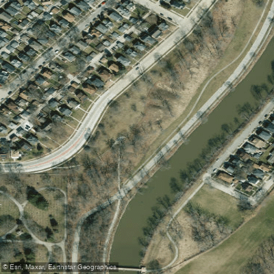
Washington Park North Access
Paddle smarter with real-time insights
Whether you're en route and conditions shift or you're looking for the best spot based on current flows, we enable you to make informed decisions on the fly.








Find Places to Paddle

Over 400,000 Places to Paddle
Every user gets free access to launch points, boat ramps, and public property parcels.


Water and weather conditions (10 day forecast)
See the best times to paddle Root River and check the forecast before you go.
ROOT RIVER AT GRANGE AVENUE AT GREENDALE, WI
All Flow Stations
Paddling near Root River

Lake Michigan
Fox River
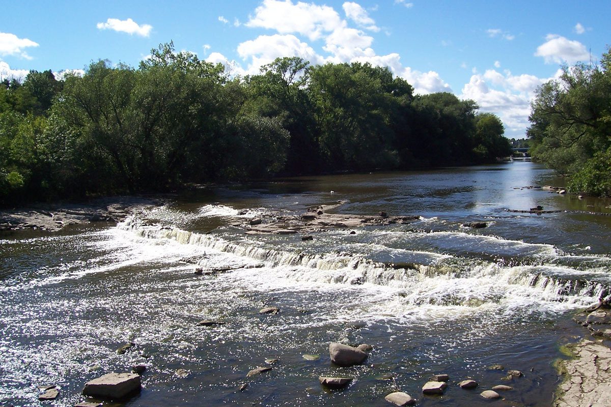
Milwaukee River

Rock River
Bark River
Oconomowoc River
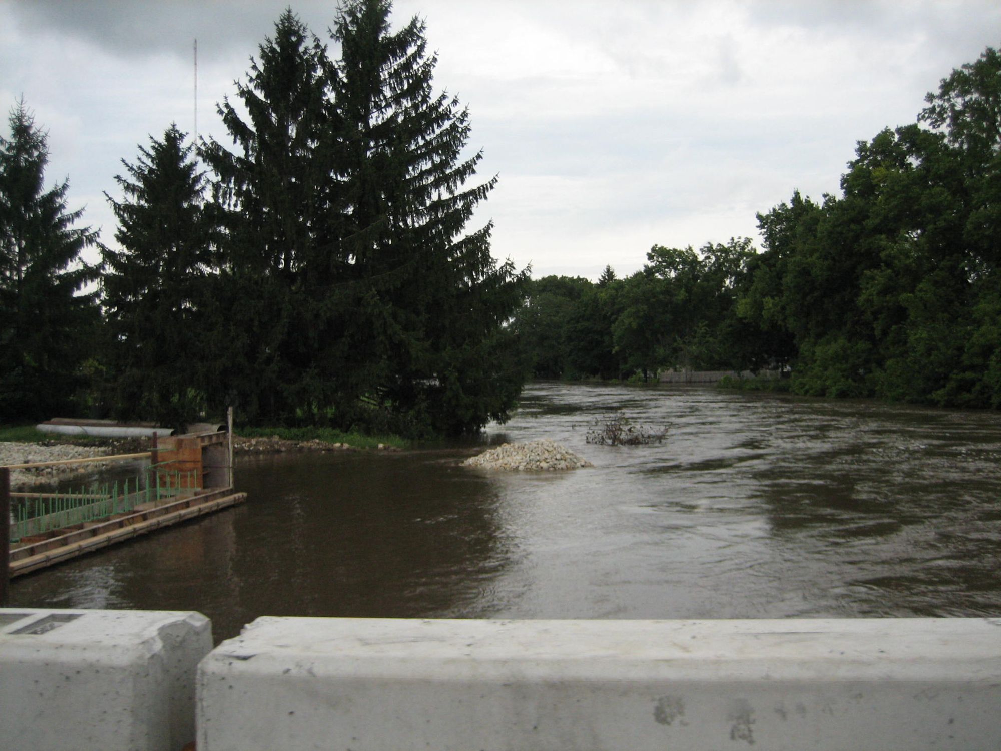
Kishwaukee River
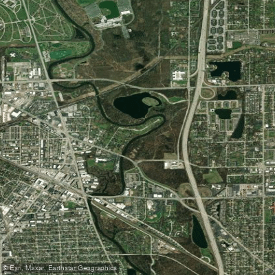
Des Plaines River
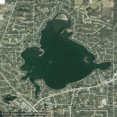
Little Muskego Lake
Explore Wisconsin waters
Top paddling waters
Popular Cities
Loading popular cities...
Explore near Root River
Access points
Nearby waters
More in Wisconsin

Smarter Paddling Starts in the App.
Paddleways gives you everything you need to plan smarter, paddle better, and own every trip from first launch to takeout.