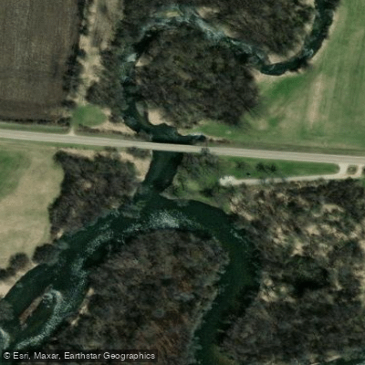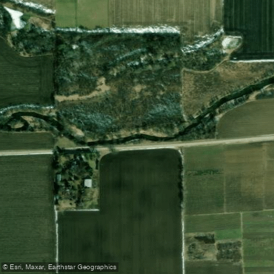
Curated by PaddleWays
RouteClass I–II
- Distance
- 4.5 mi
- Paddle time
- ~1.5 hrs
- Best for
- Beginners
- Put-in → take-out
- Maxon Road Access → Streit Road Access
Three farm dams along the creek
Piscasaw Creek is a charming prairie stream that meanders through the farmlands of northern Illinois. This tributary of the Kishwaukee River originates near the Illinois-Wisconsin border and flows southward, contributing to the Rock River watershed. While its exact length is undocumented, the creek offers several paddling sections totaling at least 13.5 miles. The creek presents an excellent opportunity for novice and intermediate paddlers seeking a peaceful journey through the Illinois countryside.
Paddlers can expect a swift current punctuated by occasional mild riffles and farm dams, creating an engaging Class I to II experience. The creek is divided into at least two main sections: Piscasaw Creek I from Maxon Road to Streit Road, and Piscasaw Creek II beginning at Denny Road.
Spring is the optimal time to explore Piscasaw Creek when water levels are higher, typically from late March through May. During this period, the surrounding prairie bursts into bloom, offering a spectacular backdrop for paddlers.
The creek's ecosystem supports a variety of wildlife, including waterfowl and potentially silt-intolerant fish species, indicative of its high water quality. Notable landmarks along the creek include the three farm dams on the upper section, which add a touch of excitement for more experienced paddlers.
The landscape is dominated by expansive views of Illinois prairie interspersed with agricultural fields, providing a quintessential Midwestern paddling experience. Access points are somewhat limited, with put-ins at Maxon Road and Denny Road, and a take-out at Streit Road. The nearby town of Chemung serves as a convenient base for paddlers exploring the creek.
While specific historical significance is not documented, the creek's course through traditional farmland offers a glimpse into the agricultural heritage of northern Illinois.
Safety considerations include being prepared for swift currents, especially during high water periods, and navigating the farm dams with caution. Paddlers should also be mindful of potential strainers and log jams typical in prairie streams.
Although multi-day trips are not common on Piscasaw Creek itself, ambitious paddlers could potentially combine a trip on the creek with an exploration of the larger Kishwaukee River system for a more extended adventure.
Piscasaw Creek may be less frequented than other waterways, but it offers a serene paddling experience through a picturesque Illinois landscape, making it a hidden gem for those seeking to explore the quieter corners of the Prairie State's waterways.
Curated routes
Hand-picked by the PaddleWays team, with put-ins, take-outs, paddle times and the hazards along the way.
RouteClass I–II
RouteClass I–II
Hazards
No hazards are marked on Piscasaw Creek yet. That is not the same as none being there: if you find one, report it for the next paddler.
From the community
Nobody has shared a trip on Piscasaw Creek yet. Paddle it, then tell the next paddler how it went.
See exactly where the public can get on and off the river. Launch points and boat ramps are paired with PaddleWays' public land data so you know where you can legally land.
Public shoreline
6%of the river's shoreline is public
Most of the riverbank is private. Launch, land and camp only at public access points.
Flows, weather and a route-by-route verdict, so you know which stretch of the Piscasaw Creek is worth paddling today.
Live flows, marked hazards and fresh trip reports from paddlers who were just on the water, all in one place.





Every user gets free access to launch points, boat ramps, and public property parcels.



Loading popular cities...
PaddleWays gives you everything you need to plan smarter, paddle better, and own every trip from first launch to takeout.