Spring Lake
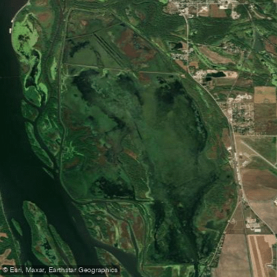
Spring Lake
- Boat Ramps
- 0
- Access Points
- 0
- Campsites
- 1
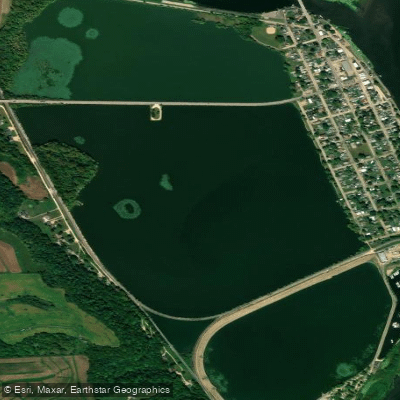
Spring Lake in Carroll County, Illinois, is a 3,146-acre impoundment managed as part of the Upper Mississippi River National Wildlife and Fish Refuge, located between mile markers 532-536 directly south of Savanna. The lake is divided into an upper section (560 acres) and a lower section (2,586 acres) by a cross dike, with 7.1 miles of levee surrounding the complex that serves dual purposes for wildlife management and recreation access.
Paddlers can launch from the Spring Lake parking area accessed via IL Route 84, approximately two miles south of Savanna. This site provides convenient access to both the lake and the Great River Bike Trail, with picnic facilities and a designated kayak/canoe launch area.
The relatively protected waters make Spring Lake suitable for beginning to intermediate paddlers, though wind conditions across the open expanses can create challenging waves. The lake's primary character is defined by extensive cattail marshes, backwater sloughs, and shallow bays that create a maze-like paddling environment. Navigation through the narrow channels between vegetation requires attention, particularly during lower water periods.
The Spring Lake Trail system, spanning 8.7 miles of levee roads, offers multiple access points for different paddling routes, with the northern 4-mile loop providing a manageable out-and-back option.
Wildlife viewing opportunities are exceptional, particularly during migration seasons. The refuge supports significant waterfowl populations, bald eagles, great blue herons, and numerous songbird species. The Mississippi Flyway location means paddlers may encounter concentrations of ducks and geese, especially in spring and fall.
Important restrictions apply: Spring Lake closes to public access from October 1 through the end of Illinois duck season to protect migratory waterfowl. Motorized watercraft are prohibited in designated electric-motor-only zones. Paddlers should check current refuge regulations and water levels before visiting, as seasonal flooding can dramatically alter access and conditions.
Water access, boat ramps & amenities
Learn how to get on Spring Lake. Uncover great paddling access points, boat ramps, and all the facilities you need for an unforgettable day on the water. Some locations shown may border or include private property. Always check property boundaries and applicable regulations before visiting. PaddleWays's Public & Private Land layer can help you plan your access with confidence.
Paddle smarter with real-time insights
Whether you're en route and conditions shift or you're looking for the best spot based on current flows, we enable you to make informed decisions on the fly.








Find Places to Paddle

Over 400,000 Places to Paddle
Every user gets free access to launch points, boat ramps, and public property parcels.


Water and weather conditions (10 day forecast)
See the best times to paddle Spring Lake and check the forecast before you go.
No forecast data available.
Paddling near Spring Lake

Mississippi River

Rock River
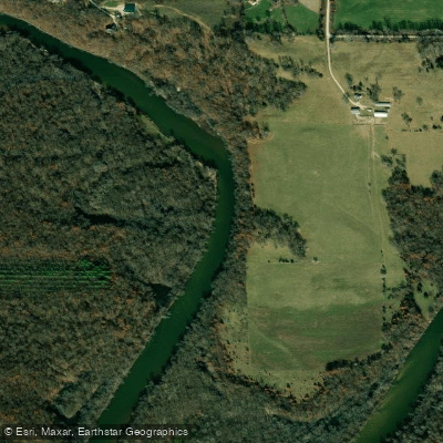
Wapsipinicon River
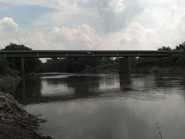
Maquoketa River
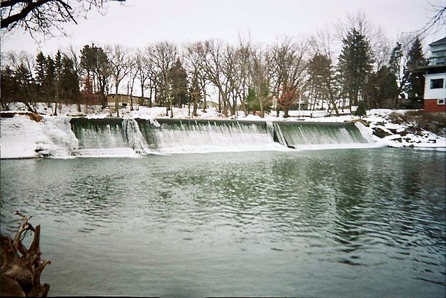
Cedar River
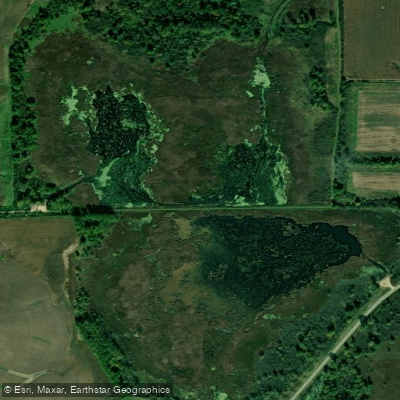
Goose Lake
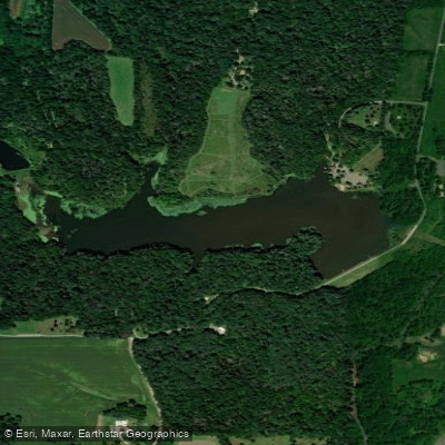
Lake Carlton
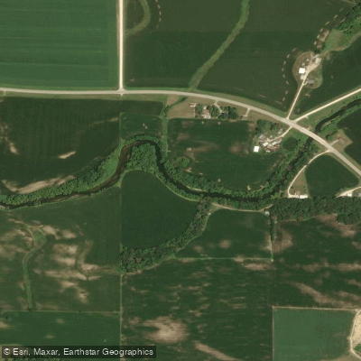
North Fork Maquoketa River
Sabula Lakes
Explore Illinois waters
Top paddling waters
Popular Cities
Loading popular cities...
Explore near Spring Lake
Access points
Nearby waters
More in Illinois

Smarter Paddling Starts in the App.
Paddleways gives you everything you need to plan smarter, paddle better, and own every trip from first launch to takeout.