North Fork Maquoketa River
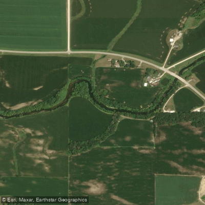
North Fork Maquoketa River
- Boat Ramps
- 3
- Access Points
- 5
- Campsites
- 11
The North Fork Maquoketa River is a scenic waterway in northeastern Iowa, originating north of Holy Cross in Dubuque County and flowing southeast through Delaware and Jones counties before joining the main Maquoketa River near the city of Maquoketa in Jackson County. This tributary forms part of the larger Maquoketa River watershed, which ultimately drains into the Mississippi River. The North Fork Maquoketa River Water Trail offers paddlers approximately 40 miles of diverse paddling experiences, ranging from easy flatwater sections to more challenging Class II rapids.
The river is best paddled during wet months when water levels are sufficient, typically spring through early summer. One of the most popular and scenic stretches is the 17.9-mile section from Cascade to Ozark Bridge, which takes paddlers through some of Iowa's most remote and picturesque landscapes. This run, typically requiring about 7.5 hours to complete, showcases the river's transition from gentle urban outskirts to rugged wilderness.
The river corridor supports a rich ecosystem, with limestone bluffs, forested hillsides, and diverse wildlife. Paddlers may encounter big river fish species as far upstream as the dam in Cascade. The 323-acre Ozark Wildlife Area, located between the Canton Bridge and Millertown Bridge accesses, offers excellent opportunities for hiking, wildlife viewing, and primitive camping.
Key access points include Dyersville, Cascade, and various bridges along the route. The Riverview Ridge Campgrounds, located about 4 miles upstream from the Whitewater Creek confluence, provides camping facilities and kayak rentals. Paddlers should be prepared for occasional rapids, particularly downstream from the Highway 61 bridge near Mile Marker 8. While most of the river features easy paddling with nice flow and minimal obstacles, some sections may require intermediate to advanced skills to navigate.
For multi-day adventures, paddlers can utilize primitive camping areas along the route, including sites in the Ozark Wildlife Area. However, proper planning is essential due to the remote nature of some stretches. Safety considerations include checking water levels before trips, being prepared for limited cell phone coverage in remote areas, and respecting private property along the banks. Paddlers should also be aware of potential hazards such as strainers and overhanging branches, especially in high water conditions.
The North Fork Maquoketa River offers a unique blend of scenic beauty, wildlife encounters, and paddling challenges, making it a premier destination for outdoor enthusiasts in Iowa.
Water access, boat ramps & amenities
Learn how to get on North Fork Maquoketa River. Uncover great paddling access points, boat ramps, and all the facilities you need for an unforgettable day on the water. Some locations shown may border or include private property. Always check property boundaries and applicable regulations before visiting. PaddleWays's Public & Private Land layer can help you plan your access with confidence.
Paddle smarter with real-time insights
Whether you're en route and conditions shift or you're looking for the best spot based on current flows, we enable you to make informed decisions on the fly.








Find Places to Paddle

Over 400,000 Places to Paddle
Every user gets free access to launch points, boat ramps, and public property parcels.


Water and weather conditions (10 day forecast)
See the best times to paddle North Fork Maquoketa River and check the forecast before you go.
North Fork Maquoketa River near Fulton, IA
Paddling near North Fork Maquoketa River

Mississippi River
Turkey River
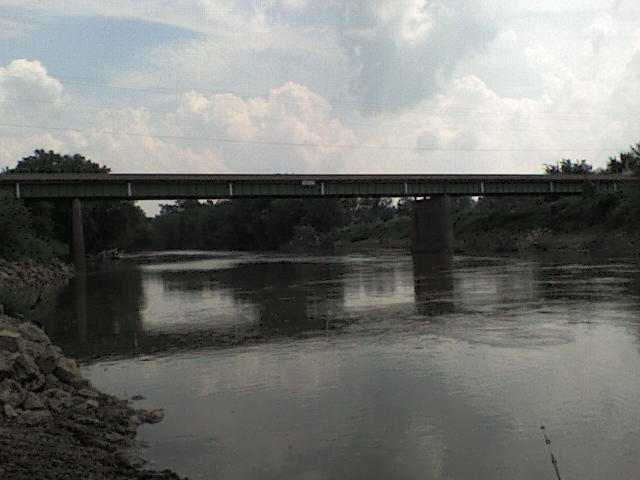
Maquoketa River
Wisconsin River
Wapsipinicon River
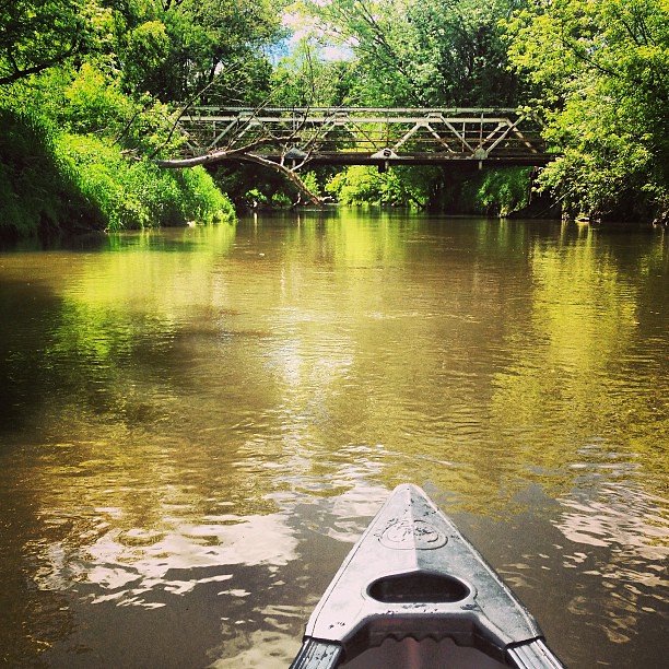
Kickapoo River
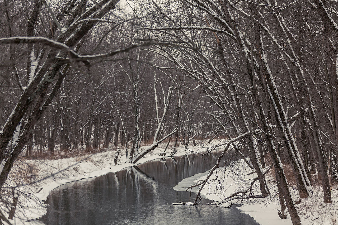
Paint Creek
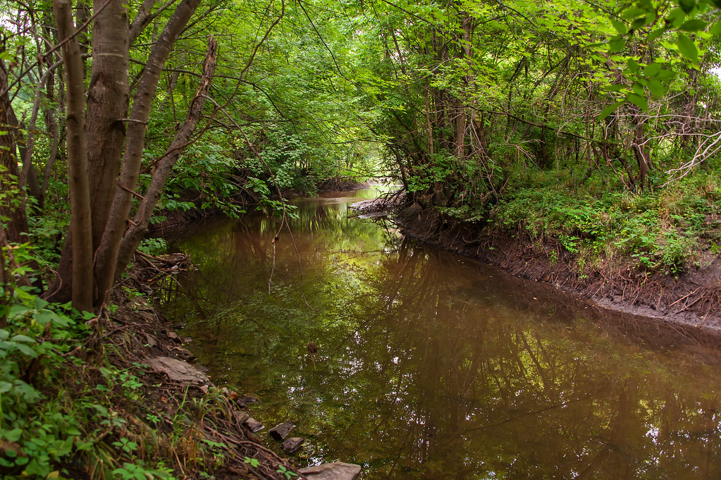
Indian Creek
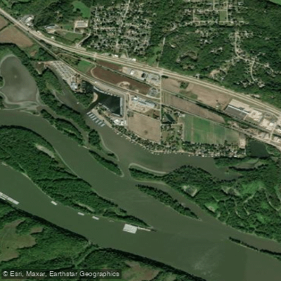
Frentress Lake
Explore Iowa waters
Top paddling waters
Popular Cities
Loading popular cities...
Explore near North Fork Maquoketa River
Access points
- Cascade Boat Ramp
- Highway 136 Bridge Boat Ramp
- Worthington Bridge Boat Ramp
- Cascade River Park Access
- Ozark Wildlife Area Access
- Maquoketa River Bridge
- N.fork Maquoketa River Bridge
- N Fork Little Maquket Bridge
- N Fork Maquoketa River Bridge
- N Fork Maquoketa River Bridge
- Maquoketa River Bridge
- N Fork Maquoketa River Bridge
- All 95 spots
Nearby waters
More in Iowa

Smarter Paddling Starts in the App.
Paddleways gives you everything you need to plan smarter, paddle better, and own every trip from first launch to takeout.