Maquoketa River
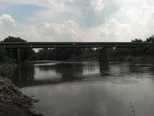
Maquoketa River
- Boat Ramps
- 22
- Access Points
- 43
- Campsites
- 14
The Maquoketa River is a scenic waterway in eastern Iowa, originating near Strawberry Point and flowing approximately 150 miles southeast to join the Mississippi River near Maquoketa. Its major tributaries include the North Fork and South Fork Maquoketa Rivers, which converge near Maquoketa. The river drains a watershed of about 1,879 square miles.
The Maquoketa offers diverse paddling opportunities suitable for a range of skill levels. The upper reaches near Backbone State Park feature more challenging Class II rapids, while the lower sections provide mostly calm Class I waters ideal for beginners and families. Popular paddling sections include Delhi Dam to Monticello (25.4 miles), Mon-Maq Dam to Pictured Rocks Park (7.7 miles), and several segments between Monticello and the Mississippi. Water levels are typically best for paddling from spring through early fall, with May and June offering optimal conditions. Late summer may require occasional portaging in shallower areas.
The river corridor supports a rich ecosystem, with sightings of bald eagles, great blue herons, and various waterfowl common. Wooded bluffs, limestone outcroppings, and scenic farmland characterize much of the landscape. Key points of interest include Backbone State Park, Manchester Whitewater Park, Pictured Rocks County Park, and the Mon-Maq Dam area. Major access points are available near Delhi, Hopkinton, Monticello, Canton, Maquoketa, and several other communities along the route.
The river played an important role in the early settlement and development of eastern Iowa, with several historic mill sites still visible. Safety considerations include watching for strainers, especially after high water events, and being prepared for occasional portages around low-head dams. All paddlers should wear life jackets and be aware of changing weather conditions.
Multi-day trips are possible, with several campgrounds and access points allowing for extended journeys, particularly on the lower half of the river. The Maquoketa River Water Trail, designated by the Iowa Department of Natural Resources, provides detailed maps and information for paddlers. This, combined with the river's scenic beauty, relatively consistent water levels, and range of paddling experiences, makes the Maquoketa a premier destination for canoeists and kayakers in Iowa.
Water access, boat ramps & amenities
Learn how to get on Maquoketa River. Uncover great paddling access points, boat ramps, and all the facilities you need for an unforgettable day on the water. Some locations shown may border or include private property. Always check property boundaries and applicable regulations before visiting. PaddleWays's Public & Private Land layer can help you plan your access with confidence.
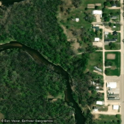
Dundee Access
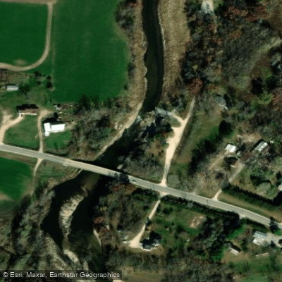
Quaker Mill Dam Access
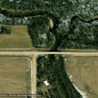
Lindsey Bridge Access
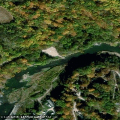
Delhi Access
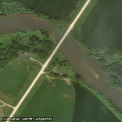
Supples Bridge Access
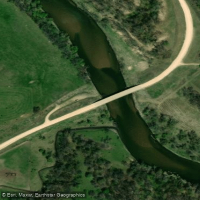
Millertown Bridge Access
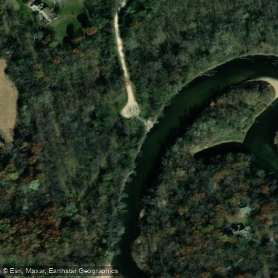
Pine Oak Access
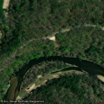
Backbone State Park Access
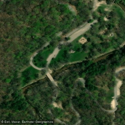
South Flats Shelter Access
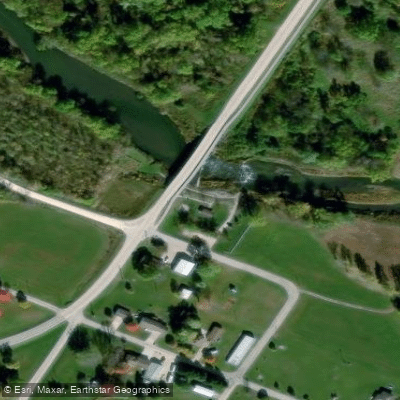
Dunlap Park Access
Paddle smarter with real-time insights
Whether you're en route and conditions shift or you're looking for the best spot based on current flows, we enable you to make informed decisions on the fly.








Find Places to Paddle

Over 400,000 Places to Paddle
Every user gets free access to launch points, boat ramps, and public property parcels.


Water and weather conditions (10 day forecast)
See the best times to paddle Maquoketa River and check the forecast before you go.
Maquoketa River at Manchester, IA
All Flow Stations
Paddling near Maquoketa River
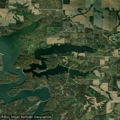
Lake McBride
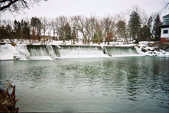
Cedar River
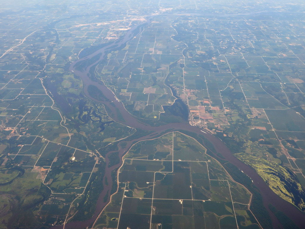
Iowa River
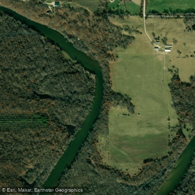
Wapsipinicon River
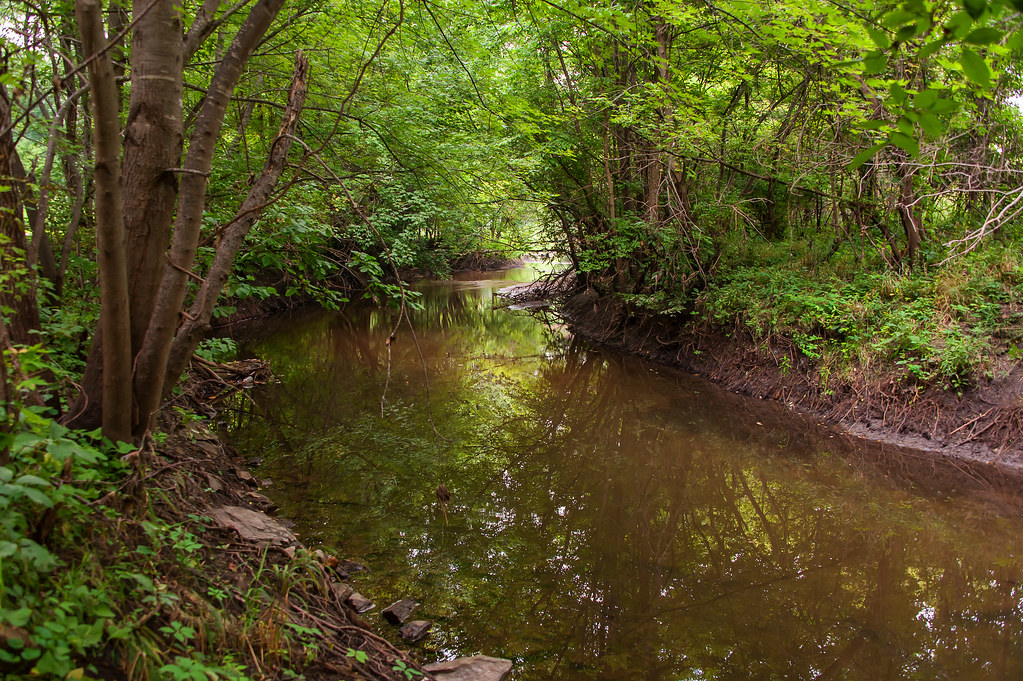
Indian Creek
Cedar Lake
Hartwick Lake
Buffalo Creek
Dry Creek
Explore Iowa waters
Top paddling waters
Popular Cities
Loading popular cities...
Explore near Maquoketa River
Access points
Nearby waters
More in Iowa

Smarter Paddling Starts in the App.
Paddleways gives you everything you need to plan smarter, paddle better, and own every trip from first launch to takeout.