Cagles Mill Lake
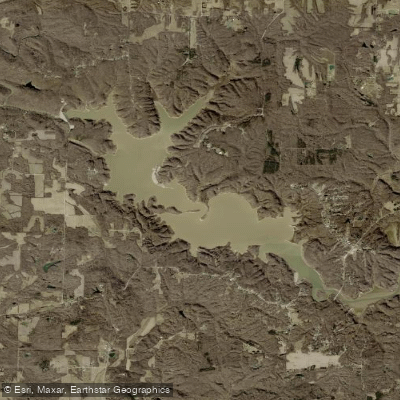
Cagles Mill Lake
- Boat Ramps
- 3
- Access Points
- 3
- Campsites
- 6
Cagles Mill Lake, located in Indiana, offers paddlers a 1,400-acre expanse of flatwater surrounded by scenic natural areas. The lake, built in 1952 as Indiana's first flood control reservoir, is fed by Mill Creek and features the picturesque Cataract Falls at its headwaters. This waterfall, the largest by volume in Indiana, was formed by pre-glacial bedrock ridges and ancient lake sediments.
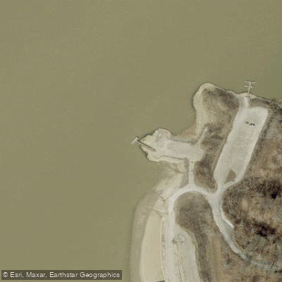
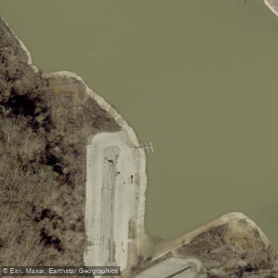
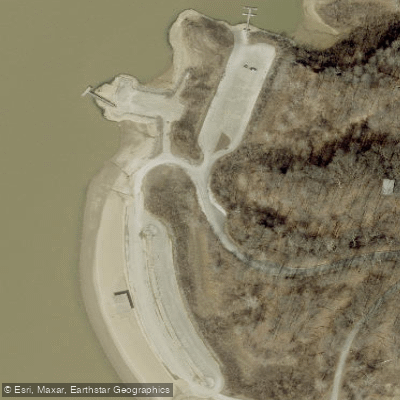
Several launch points are available, including the public east boat ramp near the Highway 42 bridge and the beach at Lieber State Recreation Area. The Lieber Boat Ramp, located just west of IN-42, provides the closest access to Cataract Falls. Paddlers should be aware that water levels can significantly impact the paddling experience, potentially submerging lower areas of the falls during high water.
The eastern portion of the lake, from just west of the Highway 42 bridge to the river, is designated as an idle-zone/no wake area. However, paddlers should remain vigilant as some motorized boats may disregard these restrictions. Wind and chop can be challenging in the open portions of the lake, particularly in the first three miles when paddling towards the falls.
Wildlife enthusiasts may spot bald eagles, which nest near the lake and return seasonally. The lake meanders through undeveloped natural areas, providing opportunities for scenic paddling and exploration of flooded valleys during high water periods.
Facilities for paddlers include campgrounds, hiking trails, and boat rentals at Lieber State Recreation Area. A fishing license and DNR non-powered boat tag are required. The lake is known for good fishing, with species such as walleye, smallmouth bass, and channel catfish.
For a rewarding day trip, paddlers can journey from Lieber State Recreation Area to Cataract Falls, a round trip of about 13 miles. This route offers a mix of open water paddling and exploration of the falls area, with potential challenges from wind and boat traffic.
Water access, boat ramps & amenities
Learn how to get on Cagles Mill Lake. Uncover great paddling access points, boat ramps, and all the facilities you need for an unforgettable day on the water. Some locations shown may border or include private property. Always check property boundaries and applicable regulations before visiting. PaddleWays's Public & Private Land layer can help you plan your access with confidence.
Paddle smarter with real-time insights
Whether you're en route and conditions shift or you're looking for the best spot based on current flows, we enable you to make informed decisions on the fly.








Find Places to Paddle

Over 400,000 Places to Paddle
Every user gets free access to launch points, boat ramps, and public property parcels.


Water and weather conditions (10 day forecast)
See the best times to paddle Cagles Mill Lake and check the forecast before you go.
No forecast data available.
Paddling near Cagles Mill Lake

White River
Wabash River
Cecil M Harden Lake
Big Raccoon Creek
Twin Lakes
Lincoln Trail State Park Lake
Eel River
Sugar Creek
Big Walnut Creek
Explore Indiana waters
Top paddling waters
Popular Cities
Loading popular cities...
Explore near Cagles Mill Lake
Access points
Nearby waters
More in Indiana

Smarter Paddling Starts in the App.
Paddleways gives you everything you need to plan smarter, paddle better, and own every trip from first launch to takeout.