Mississinewa Lake
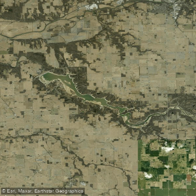
Mississinewa Lake
- Boat Ramps
- 4
- Access Points
- 4
- Campsites
- 4
Mississinewa Lake is a 3,210-acre reservoir in north-central Indiana offering diverse paddling opportunities. The lake features several access points, including Miami SRA, Red Bridge SRA (with marina), Frances Slocum SRA, and Pearson Mill SRA. Paddlers can explore expansive forests, prairies, and farmland surrounding the lake, which provide habitat for a variety of wildlife.
The lake is known for excellent fishing and boating, with ample space for both leisurely paddling and more adventurous exploration. Paddlers should be aware of potential hazards such as motorized boat traffic and changing water levels due to the lake's flood control function.
Notable sights include limestone cliffs known as the "Seven Pillars," located a few miles downstream from the dam. Wildlife enthusiasts may spot bald eagles, great blue herons, kingfishers, and various bird species along the wooded shoreline. The lake's expansive waters and hidden coves offer opportunities for both long paddles and quiet relaxation.
Facilities for paddlers include a 400-plus-site campground, family cabins, and picnic areas. Several hiking trails, including the Easy Access Trail, Lost Sister Trail, and Blue Heron Trail, provide additional recreational options and scenic views of the lake and dam.
Mississinewa Lake has historical significance, with ties to Native American history. The name "Mississinewa" comes from a Miami Indian word meaning "falling water." The lake is part of the Indiana Birding Trail, making it an excellent destination for birdwatchers.
Paddlers should check current regulations and water levels before their trip, as conditions can vary. The lake's size and diverse shoreline make it suitable for both day trips and extended paddling adventures.
Water access, boat ramps & amenities
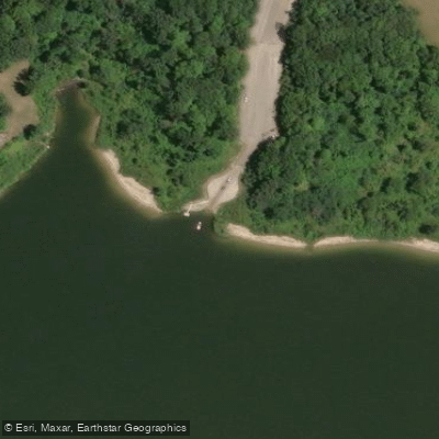
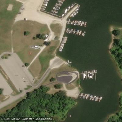
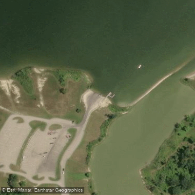
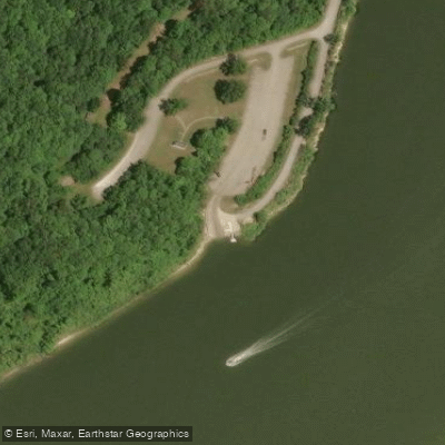
Learn how to get on Mississinewa Lake. Uncover great paddling access points, boat ramps, and all the facilities you need for an unforgettable day on the water. Some locations shown may border or include private property. Always check property boundaries and applicable regulations before visiting. PaddleWays's Public & Private Land layer can help you plan your access with confidence.
Paddle smarter with real-time insights
Whether you're en route and conditions shift or you're looking for the best spot based on current flows, we enable you to make informed decisions on the fly.








Find Places to Paddle

Over 400,000 Places to Paddle
Every user gets free access to launch points, boat ramps, and public property parcels.


Water and weather conditions (10 day forecast)
See the best times to paddle Mississinewa Lake and check the forecast before you go.
No forecast data available.
Paddling near Mississinewa Lake

White River
Salamonie Lake
Eel River
Tippecanoe River
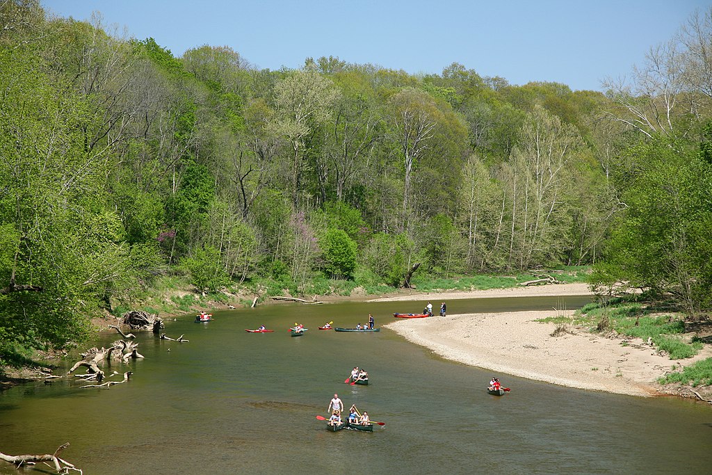
Sugar Creek
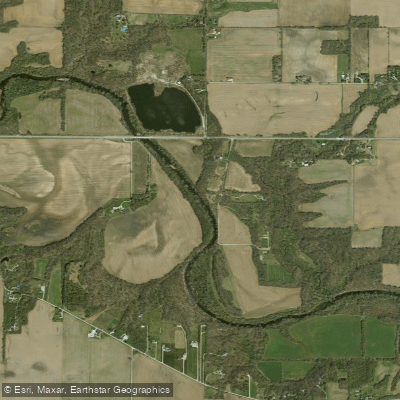
Wildcat Creek
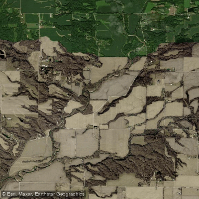
Wabash River
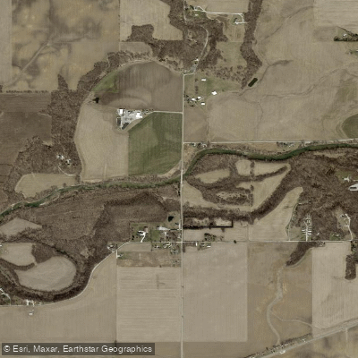
Sugar Creek
Kokomo Waterworks Reservoir Number Two
Explore Indiana waters
Top paddling waters
Popular Cities
Loading popular cities...
Explore near Mississinewa Lake
Access points
Nearby waters
More in Indiana

Smarter Paddling Starts in the App.
Paddleways gives you everything you need to plan smarter, paddle better, and own every trip from first launch to takeout.