Salamonie Lake
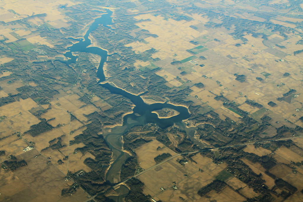
Salamonie Lake
- Boat Ramps
- 5
- Access Points
- 5
- Campsites
- 4
Salamonie Lake is a 2,665-acre reservoir in north-central Indiana, offering diverse paddling opportunities. The lake features 40 ponds, marshes, and wetlands, providing habitat for various wildlife. Paddlers can enjoy scenic views and may spot bald eagles nesting along the shoreline.
Access is available at several locations managed by the Indiana Department of Natural Resources, including Lost Bridge West State Recreation Area, Lost Bridge East SRA, and Mount Etna SRA. The marina offers boat rentals, including kayaks and paddle boats. No private residences line the shore, preserving the natural setting.
The lake is popular for boating and fishing. Paddlers should be aware of motorized boat traffic, especially during peak summer months. Wearing a life vest is strongly recommended. The ideal river height for paddling is between 1.5 and 3 feet, though this may refer to the connected Salamonie River rather than the lake itself.
Trails around the lake provide opportunities to combine paddling with hiking. The Bloodroot Trail (13 miles) is open to both hikers and bikers. A beach area offers a place to rest and swim, though there are no bathhouses available.
Camping is available near the water, with some sites offering direct lake access for launching kayaks. However, reservations for waterfront sites should be made well in advance due to high demand. The campground loop containing sites 220-246 is notably sunny with little shade.
While specific paddling routes are not outlined, the lake's numerous inlets and coves provide ample exploration opportunities. Paddlers should check with park staff for current conditions and any temporary restrictions before heading out on the water.
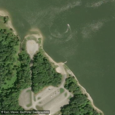
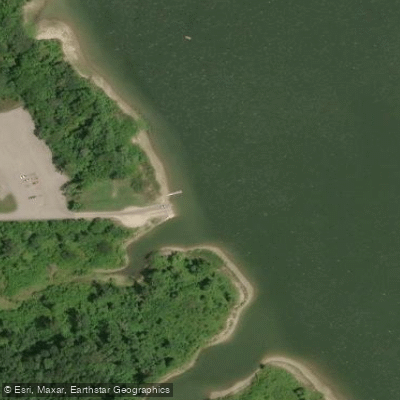
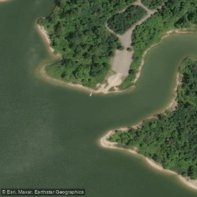
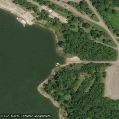
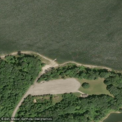
Water access, boat ramps & amenities
Learn how to get on Salamonie Lake. Uncover great paddling access points, boat ramps, and all the facilities you need for an unforgettable day on the water. Some locations shown may border or include private property. Always check property boundaries and applicable regulations before visiting. PaddleWays's Public & Private Land layer can help you plan your access with confidence.
Paddle smarter with real-time insights
Whether you're en route and conditions shift or you're looking for the best spot based on current flows, we enable you to make informed decisions on the fly.








Find Places to Paddle

Over 400,000 Places to Paddle
Every user gets free access to launch points, boat ramps, and public property parcels.


Water and weather conditions (10 day forecast)
See the best times to paddle Salamonie Lake and check the forecast before you go.
No forecast data available.
Paddling near Salamonie Lake
Maumee River
Eel River
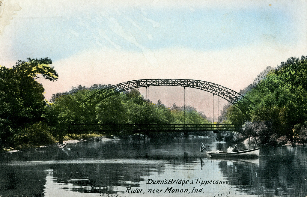
Tippecanoe River
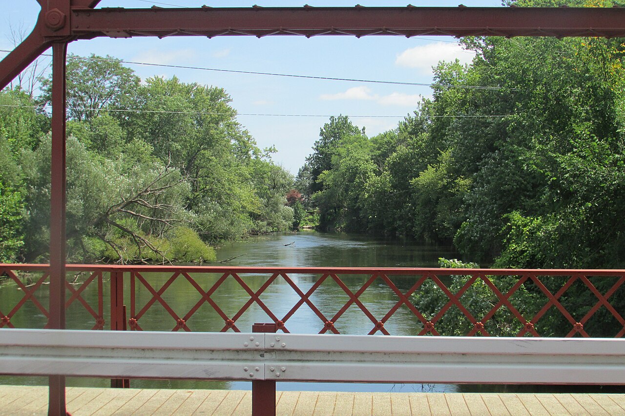
Elkhart River
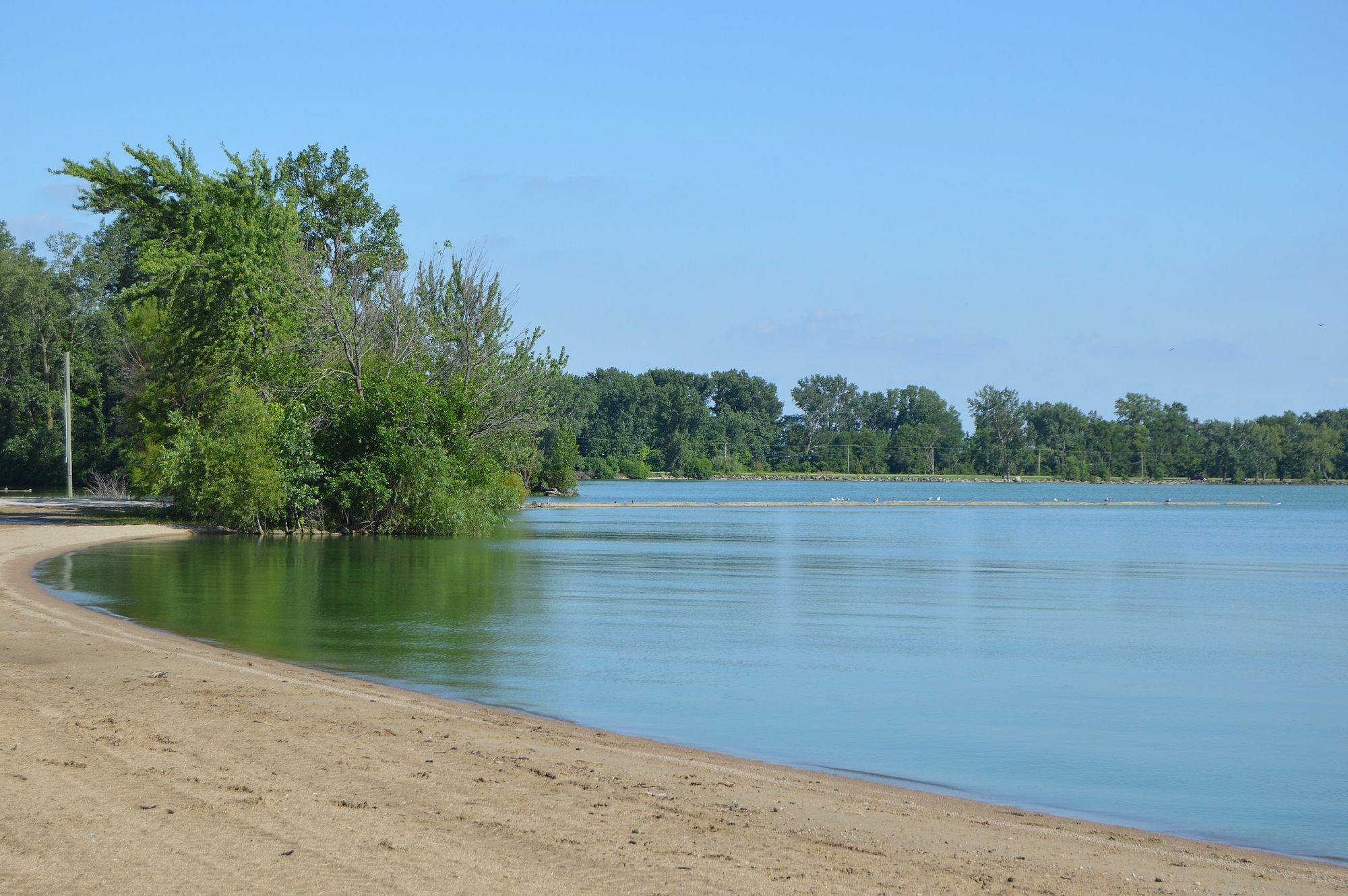
Grand Lake
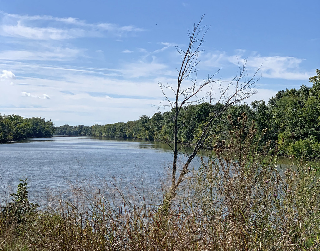
Auglaize River
Saint Joseph River
Saint Marys River
Wabash River
Explore Indiana waters
Top paddling waters
Popular Cities
Loading popular cities...
Explore near Salamonie Lake
Access points
Nearby waters
More in Indiana

Smarter Paddling Starts in the App.
Paddleways gives you everything you need to plan smarter, paddle better, and own every trip from first launch to takeout.