Brookville Lake
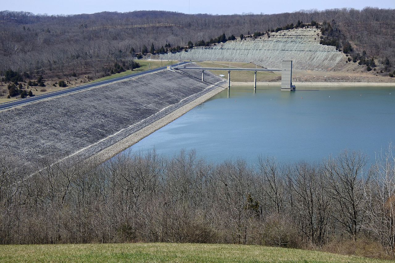
Brookville Lake
- Boat Ramps
- 9
- Access Points
- 12
- Campsites
- 9
Brookville Lake, located in southeastern Indiana, is a 5,260-acre reservoir offering diverse paddling opportunities. The lake is long and narrow, with a deep, rocky lower section and a more river-like upper portion. Numerous large coves and creeks provide additional areas to explore.
Access is primarily through two state recreation areas: Mounds SRA on the lower lake and Quakertown SRA on the upper end. Between these, paddlers can choose from 10 different boat launch sites. The Fairfield Causeway serves as a dividing line between the lake's upper and lower sections.
The lake's varied habitat supports a rich ecosystem. Paddlers may encounter walleye, largemouth and smallmouth bass, and even the occasional muskie. Birdwatchers should keep an eye out for migrating flocks, particularly around Brookville Reservoir.
Brookville Lake's shoreline features a mix of rocky banks, steep cliffs, and wooded areas. The lower lake is characterized by clear, deep water and rocky structure, while the upper section has more vegetation and slightly more stained water. Standing timber in many coves provides interesting features to navigate around.
Spring and fall are ideal seasons for paddling, offering comfortable temperatures and active wildlife. Summer can be busy with motorized boat traffic, especially on weekends. The lake does not typically freeze completely in winter, though ice fishing is possible in some coves.
Camping is available at both state recreation areas, with options for tent camping and rustic cabins. The surrounding area offers additional attractions, including hiking trails and the historic canal town of Metamora.
Paddlers should be aware that Brookville Lake can experience significant water level fluctuations due to its flood control function. Always check current conditions and be prepared for changing water levels.
Water access, boat ramps & amenities
Learn how to get on Brookville Lake. Uncover great paddling access points, boat ramps, and all the facilities you need for an unforgettable day on the water. Some locations shown may border or include private property. Always check property boundaries and applicable regulations before visiting. PaddleWays's Public & Private Land layer can help you plan your access with confidence.
Paddle smarter with real-time insights
Whether you're en route and conditions shift or you're looking for the best spot based on current flows, we enable you to make informed decisions on the fly.








Find Places to Paddle

Over 400,000 Places to Paddle
Every user gets free access to launch points, boat ramps, and public property parcels.


Water and weather conditions (10 day forecast)
See the best times to paddle Brookville Lake and check the forecast before you go.
BROOKVILLE LAKE AT BROOKVILLE, IN
Paddling near Brookville Lake

Ohio River

White River
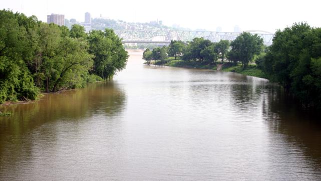
Licking River
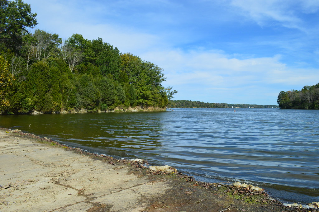
Cowan Lake
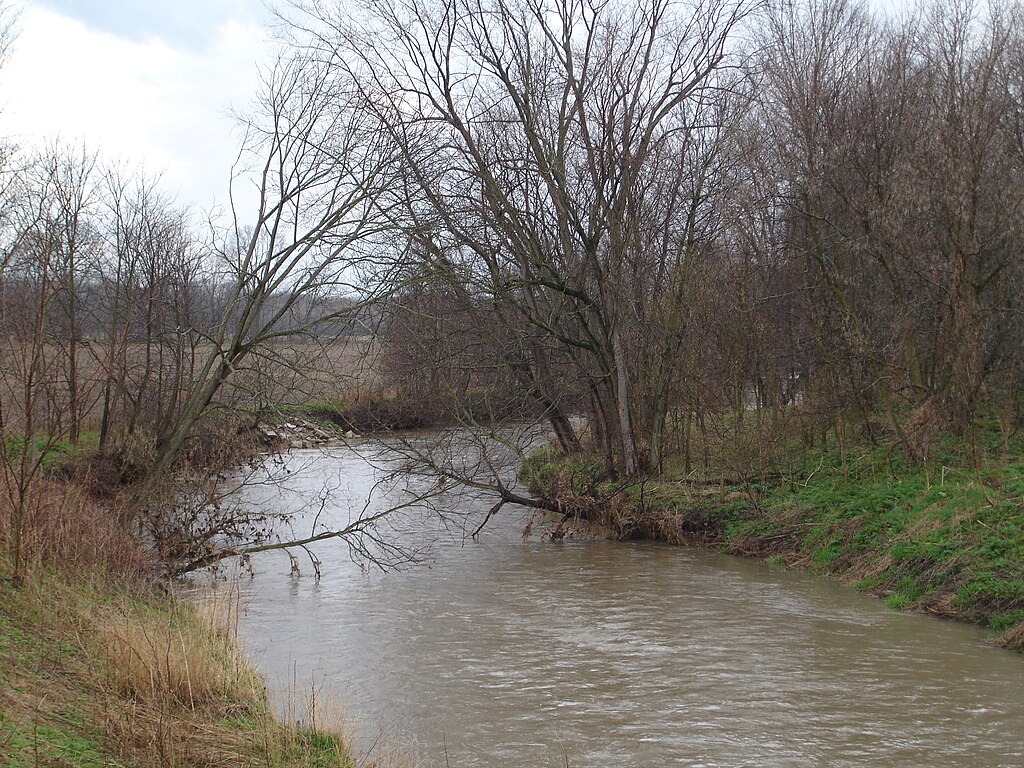
Big Blue River
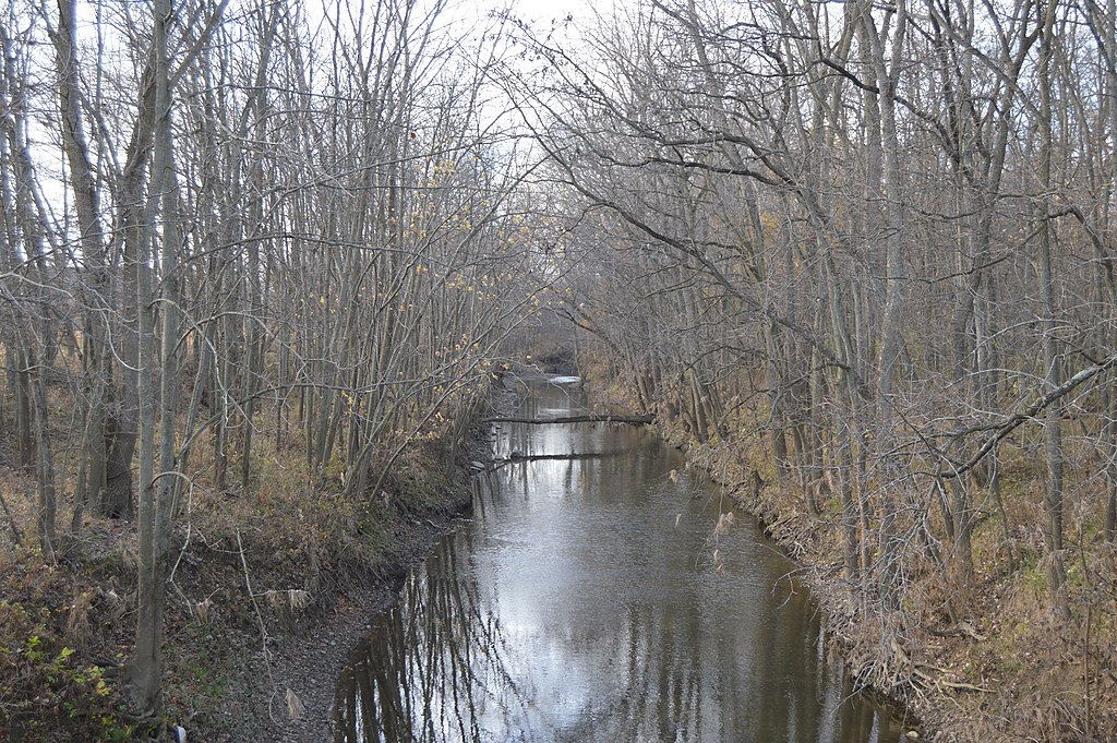
Stillwater River
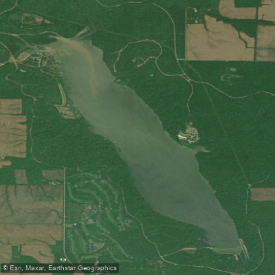
Acton Lake
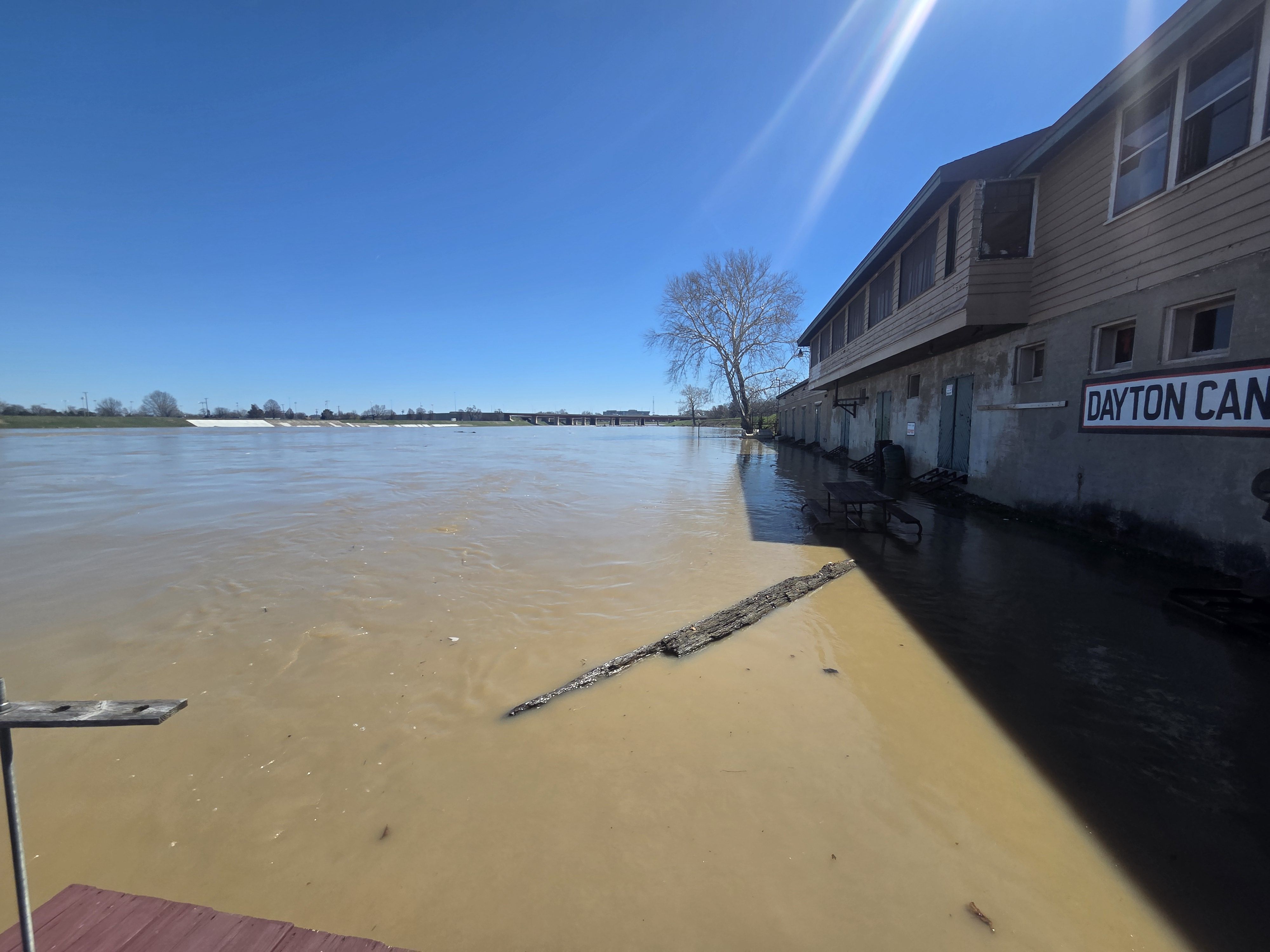
Great Miami River
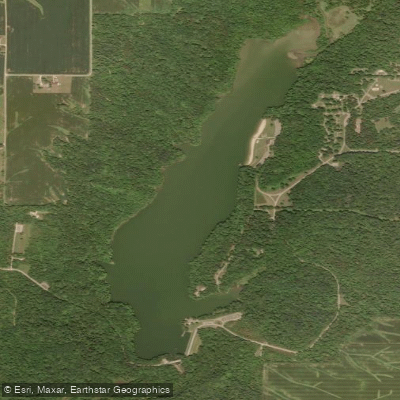
Whitewater Lake
Explore Indiana waters
Top paddling waters
Popular Cities
Loading popular cities...
Explore near Brookville Lake
Access points
- Fairfield Boat Ramp
- Quakertown Boat Ramp
- Brookville Lake Boat Ramp
- Brookville Lake Boat Ramp
- Dunlapsville Boat Ramp
- Templeton Creek Ramp
- Hanna Creek Boat Ramp
- Fairfield Marina Boat Ramp
- Silver Creek Boat Ramp
- Mounds Beach Road Access
- Brookville Reservoir Dunlapsville Access
- Mounds Beach Road Access
- All 80 spots
Nearby waters
More in Indiana

Smarter Paddling Starts in the App.
Paddleways gives you everything you need to plan smarter, paddle better, and own every trip from first launch to takeout.