Sugar Creek
Sugar Creek
- Boat Ramps
- 2
- Access Points
- 8
- Campsites
- 9
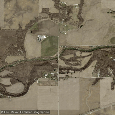
Sugar Creek originates in Tipton County, Indiana, and flows approximately 90 miles in a generally northeast to southwest direction through west-central Indiana before joining the Wabash River near Montezuma in Parke County. Named for the abundant sugar maple trees along its banks, the creek carves through glacial deposits and exposes dramatic Pennsylvanian and Mississippian sedimentary rock formations, creating deep sandstone ravines and towering cliffs that define its character.
The creek offers extensive paddling opportunities ranging from beginner-friendly floats to more technical sections. Popular trips include the 17-mile stretch from Deer's Mill Covered Bridge to Crawfordsville, various routes through Shades State Park and Turkey Run State Park (ranging from 3 to 15 miles), and upper sections near Darlington. The creek typically ranges 20-40 feet wide with depths of 2-4 feet, featuring a bottom of sand, gravel, and rubble. Most sections present Class I-II difficulty with occasional riffles and small rapids, though water levels significantly impact navigability. Spring through early summer provides optimal conditions, with flows often becoming too low for comfortable paddling by late summer.
Smallmouth bass thrive in Sugar Creek's clear waters, with the stream managed as a trophy catch-and-release fishery (one fish over 20 inches may be kept). Anglers also target largemouth bass, rock bass, catfish, and panfish.
The riparian corridor supports beech-maple forests with unique relic populations of hemlock and white pine on north-facing cliffs. Wildlife includes white-tailed deer, beavers, river otters, great blue herons, and bald eagles, with multiple documented eagle nests along the waterway. Fossilized crinoids from the ancient inland sea are readily found on sandbars.
Six historic covered bridges span Sugar Creek, including the Narrows, Cox Ford, Jackson, West Union, Deer's Mill, and Darlington bridges. The creek flows through or adjacent to Turkey Run State Park, Shades State Park, Pine Hills Nature Preserve, and Allee Memorial Forest.
Major access points include Crawfordsville's public access at Elston Park, Sugar Creek DNR Public Fishing Area, Deer's Mill Covered Bridge, Brush Creek access at Narrows Covered Bridge, and Darlington Covered Bridge.
Early mills utilized the creek's swift current for power, with remnants still visible. The stream played important roles for Native Americans and pioneers, evidenced by archaeological sites.
Paddlers should note that Sugar Creek is not designated as navigable in all counties, meaning touching banks or portaging may constitute trespassing on private property. A low-head dam at Crawfordsville requires careful portage on river right. During high water, the creek's character transforms dramatically, becoming dangerous for inexperienced paddlers. Swimming is prohibited. Canoe camps are available at Shades State Park for overnight trips.
Water access, boat ramps & amenities
Learn how to get on Sugar Creek. Uncover great paddling access points, boat ramps, and all the facilities you need for an unforgettable day on the water. Some locations shown may border or include private property. Always check property boundaries and applicable regulations before visiting. PaddleWays's Public & Private Land layer can help you plan your access with confidence.
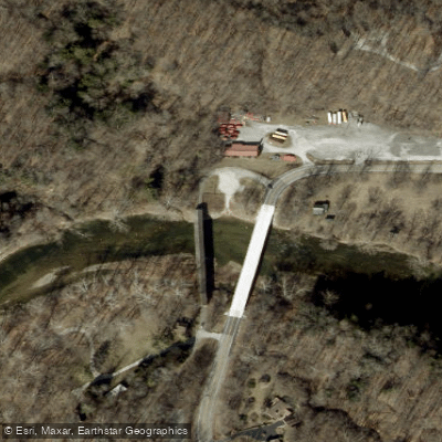
Deer's Mill Access
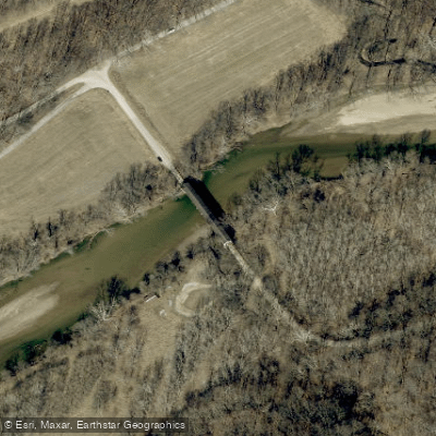
Jackson Bridge Trip (Long)
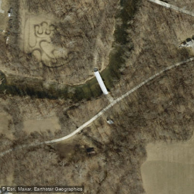
Darlington Access
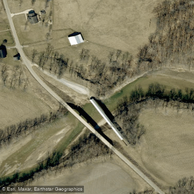
West Union Access
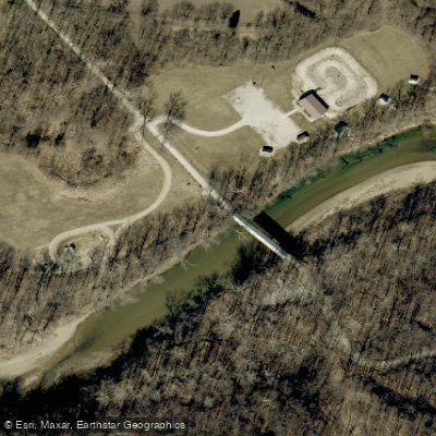
Cox Ford Access
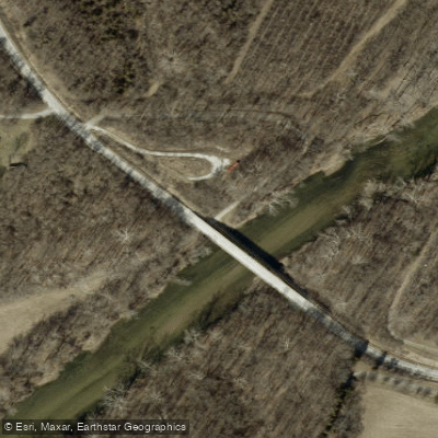
Jim Davis Bridge Access
1075 W Access
Sugar Creek Avenue Access
Rock River Ridge Road Access
Paddle smarter with real-time insights
Whether you're en route and conditions shift or you're looking for the best spot based on current flows, we enable you to make informed decisions on the fly.








Find Places to Paddle

Over 400,000 Places to Paddle
Every user gets free access to launch points, boat ramps, and public property parcels.


Water and weather conditions (10 day forecast)
See the best times to paddle Sugar Creek and check the forecast before you go.
SUGAR CREEK AT CRAWFORDSVILLE, IN
All Flow Stations
Paddling near Sugar Creek
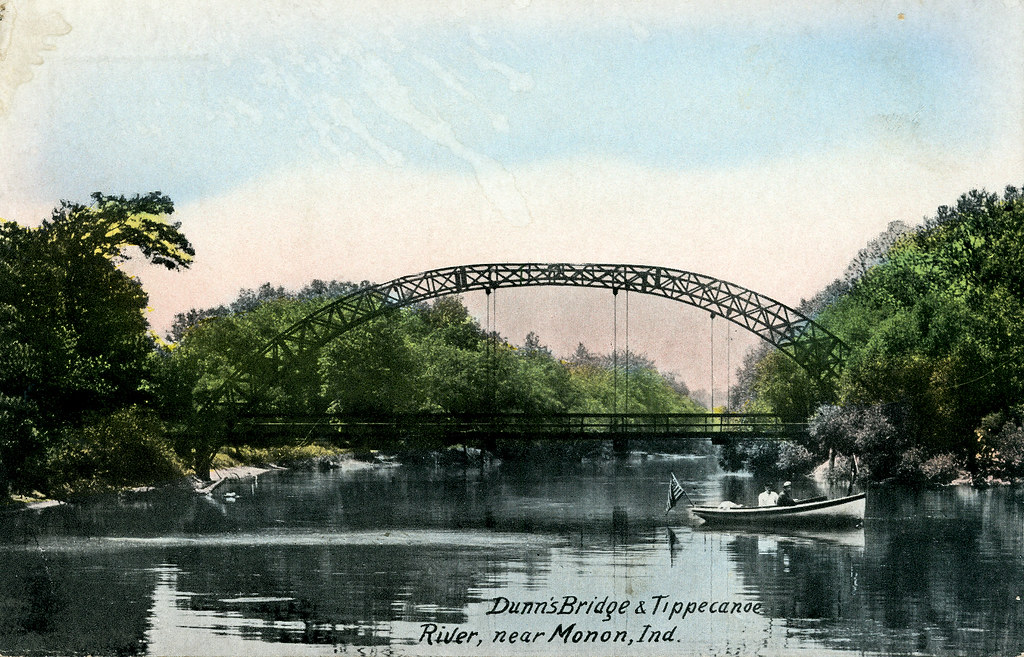
Tippecanoe River
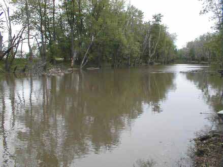
Iroquois River
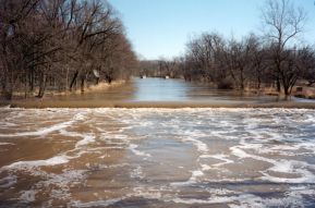
Eel River
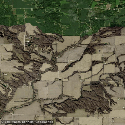
Wabash River
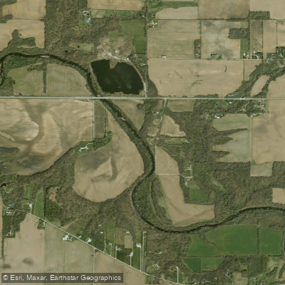
Wildcat Creek
South Fork Wildcat Creek
Lake Freeman
Big Raccoon Creek
Big Walnut Creek
Explore Indiana waters
Top paddling waters
Popular Cities
Loading popular cities...
Explore near Sugar Creek
Access points
Nearby waters
More in Indiana

Smarter Paddling Starts in the App.
Paddleways gives you everything you need to plan smarter, paddle better, and own every trip from first launch to takeout.