Patoka River
Patoka River
- Boat Ramps
- 11
- Access Points
- 11
- Campsites
- 12
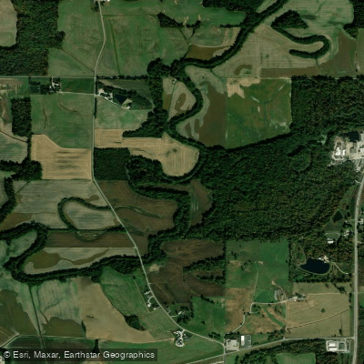
The Patoka River is a significant waterway in southern Indiana, originating in the hills of Orange County and flowing westward across the state. This scenic river meanders through diverse landscapes before joining the Wabash River near the Illinois border. While the exact length is not specified, the Patoka traverses several counties and forms a crucial part of the Patoka River watershed.
Paddling opportunities on the Patoka River range from serene flatwater sections to mild whitewater, offering experiences for various skill levels. The upper reaches, particularly from S County Rd 110 to the Co Rd 450 bridge, provide excellent kayaking during high water seasons, typically in spring or after substantial rainfall. Downstream, the river widens as it approaches Patoka Lake, a man-made reservoir that offers additional paddling options.
The difficulty of the Patoka River varies from flatwater to Class II rapids, making it suitable for beginners to intermediate paddlers. The upper sections require more skill during higher flows, while the lower reaches and lake areas are generally calm and accessible to novices. Seasonal patterns heavily influence paddling conditions on the Patoka. Spring typically offers the most reliable water levels, though summer thunderstorms can provide temporary boosts to flow. Fall colors enhance the scenic beauty, but paddlers should be prepared for potentially low water conditions.
The river corridor supports a rich ecosystem, home to diverse wildlife including various fish species, waterfowl, and riparian mammals. The Patoka River National Wildlife Refuge, established along portions of the river, highlights the area's ecological importance.
Key landmarks include the transition from river to Patoka Lake, with Wall's Lake Ramp serving as a notable access point. The lake itself, Indiana's second-largest, features over 160 miles of shoreline and numerous coves to explore. Access points are well-distributed along the river's course. Kings Bridge, Wall's Lake Ramp, and the Osborn Ramp are popular put-in/take-out locations, each offering unique sections to paddle. The nearby towns of French Lick and Jasper provide amenities for paddlers planning extended trips.
Historically, the Patoka River played a crucial role in the region's development, supporting early settlements and industries. Today, it serves as a vital recreational resource, balancing outdoor activities with conservation efforts.
Safety considerations include monitoring water levels, especially in the upper sections where conditions can change rapidly. Paddlers should be aware of potential strainers and submerged obstacles, particularly after high water events.
For those seeking multi-day adventures, the Patoka offers several options. A popular route extends from Kings Bridge to Wall Lake Ramp, covering approximately 12 miles and allowing for overnight camping. This trip can be extended by continuing onto Patoka Lake, providing a mix of river and lake paddling experiences.
The Patoka River, with its varied sections and surrounding natural beauty, remains a hidden gem for paddlers in southern Indiana, offering a perfect blend of adventure and tranquility.
Water access, boat ramps & amenities
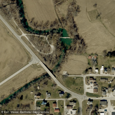
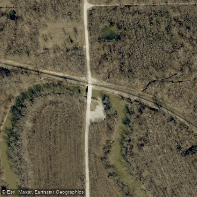
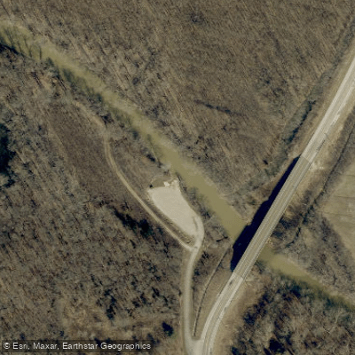
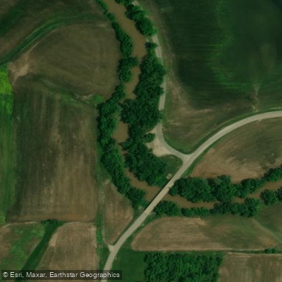
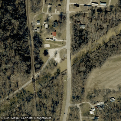
Learn how to get on Patoka River. Uncover great paddling access points, boat ramps, and all the facilities you need for an unforgettable day on the water. Some locations shown may border or include private property. Always check property boundaries and applicable regulations before visiting. PaddleWays's Public & Private Land layer can help you plan your access with confidence.
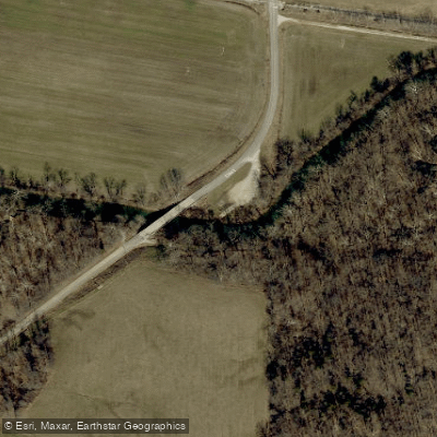
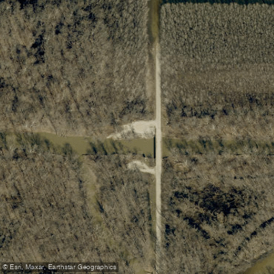
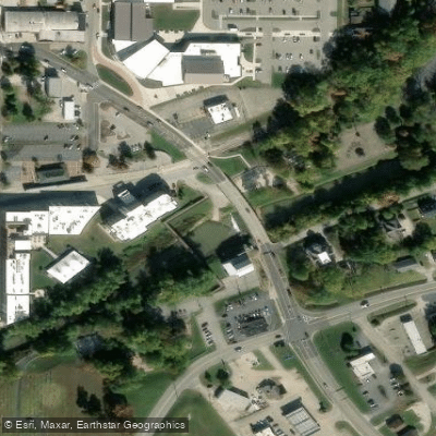
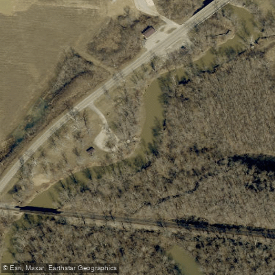
Paddle smarter with real-time insights
Whether you're en route and conditions shift or you're looking for the best spot based on current flows, we enable you to make informed decisions on the fly.








Find Places to Paddle

Over 400,000 Places to Paddle
Every user gets free access to launch points, boat ramps, and public property parcels.


Water and weather conditions (10 day forecast)
See the best times to paddle Patoka River and check the forecast before you go.
WABASH RIVER AT MT. CARMEL, IL
All Flow Stations
Paddling near Patoka River

Ohio River
Green River

White River
East Fork White River
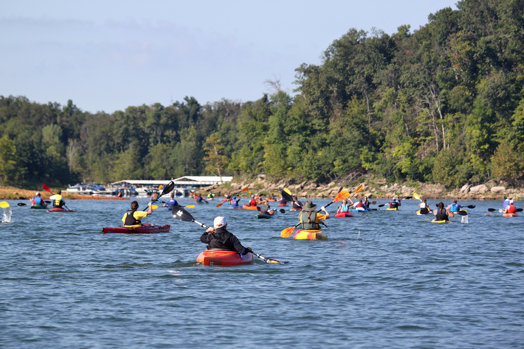
Rough River
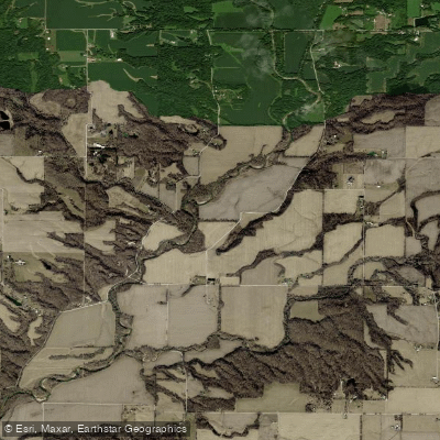
Wabash River
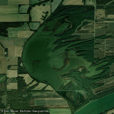
Hovey Lake
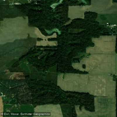
Little Pigeon Creek
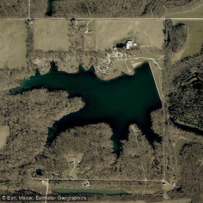
New Lake
Explore Indiana waters
Top paddling waters
Popular Cities
Loading popular cities...
Explore near Patoka River
Access points
Nearby waters
More in Indiana

Smarter Paddling Starts in the App.
Paddleways gives you everything you need to plan smarter, paddle better, and own every trip from first launch to takeout.