Portage-Burns Waterway
- Saltwater
- Sea area
Portage-Burns Waterway
- Saltwater
- Sea area
- Sq. miles
- 0.1
- Boat Ramps
- 1
- Access Points
- 1
- Campsites
- 1
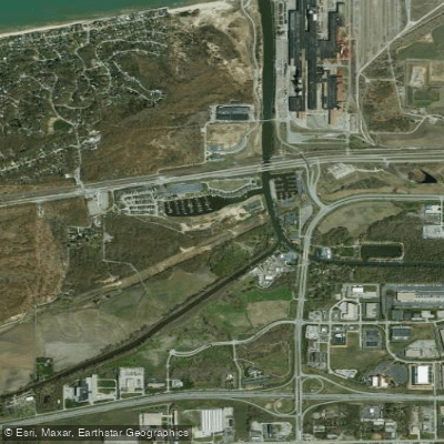
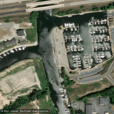
The Portage-Burns Waterway is a constructed channel in northwest Indiana that serves as the final conduit for the Deep River watershed, draining approximately 180 square miles of urban and agricultural land into Lake Michigan. For paddlers, it functions primarily as the last leg of a longer journey from inland rivers. The waterway connects to the Little Calumet River West Branch, which is an almost ruler-straight ditch. From that confluence, it is 1.25 miles of paddling northeast to reach the beach and Lake Michigan at Portage Lakefront. This endpoint offers a lake access point with amenities including restrooms or portable facilities. The waterway is a significant marine corridor, providing direct access to Lake Michigan for boats from facilities like Marina Shores, which indicates the presence of substantial motorized boat traffic, including large vessels and jet skis. Paddlers should anticipate sharing this channel and must be prepared for wakes and high traffic, especially near the marina. The connection to Lake Michigan means conditions on the waterway can be influenced by the lake, including wind exposure and the potential for wave action at the mouth. The surrounding area includes the Indiana Dunes National Park, offering scenic vistas. Water quality has been a focus of management efforts, with historical impairments noted for swimming and fishing. The watershed initiative indicates ongoing work to address these issues.
Water access, boat ramps & amenities
Learn how to get on Portage-Burns Waterway. Uncover great paddling access points, boat ramps, and all the facilities you need for an unforgettable day on the water. Some locations shown may border or include private property. Always check property boundaries and applicable regulations before visiting. PaddleWays's Public & Private Land layer can help you plan your access with confidence.
Paddle smarter with real-time insights
Whether you're en route and conditions shift or you're looking for the best spot based on current flows, we enable you to make informed decisions on the fly.







Indiana licenses and regulations

Indiana Dunes National Park Rules
No Motorized Vessels from Park Beaches. Launching motorized vessels of any type from lands within Indiana Dunes National Park is prohibited. Only non-motorized boats like canoes, kayaks, and sailboats may launch from park beaches. No Personal Watercraft Allowed. Jet Skis, Sea-Doos, and all other personal watercraft are prohibited within all waters and beaches of Indiana Dunes National Park. Park rangers patrol Lake Michigan by boat and enforce this rule. Stay Clear of Swimming Beaches. Vessels must stay at least 500 feet from the shore of designated swimming beaches, including West Beach. Swimmers always have the right of way. PFD Required for Every Passenger. Every person on board must have a US Coast Guard approved, properly sized personal flotation device. Never paddle Lake Michigan or park waterways without one. Park Pass Required on the Water. A national park pass is required for boaters entering park waters for recreation. Check the park's site for current pass types and pricing. West Beach Launch Restrictions. No boats may launch from West Beach's lifeguarded swimming area during the summer season. Outside that area, only non-motorized vessels without a mast may launch, and they must stay at least 100 yards from the swim zone.

Indiana Boating Regulations
When using any type of watercraft to access a body of water, it is important to follow all federal, state, and local rules and regulations. These rules and regulations include boat permitting and licensing, invasive species inspections and stamps, life jacket and PFD rules, motor size and horsepower restrictions, noise limitations, restrictions on personal watercraft, and many more. Visit the web link below for the most current rules and regulations for this body of water.
Find Places to Paddle

Over 400,000 Places to Paddle
Every user gets free access to launch points, boat ramps, and public property parcels.


Tides, wind & water conditions (10 day forecast)
On open water, wind and tide matter as much as the weather. See the best times to paddle Portage-Burns Waterway and check the marine forecast before you launch.
Loading tide predictions…
Paddling near Portage-Burns Waterway

Lake Michigan
Kankakee River
Iroquois River
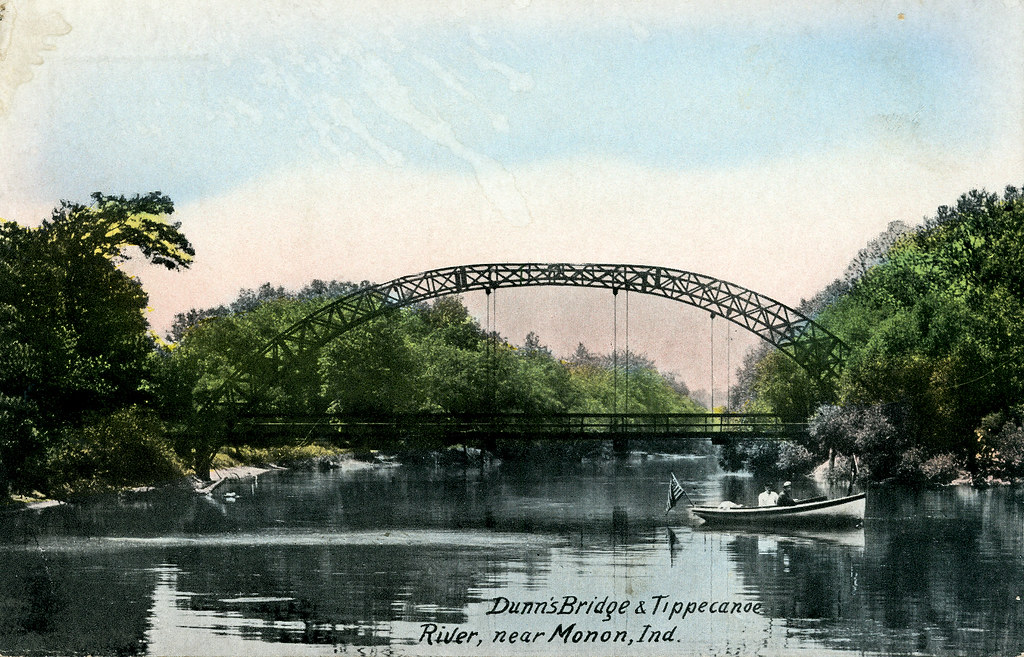
Tippecanoe River
Long Lake
East Arm Little Calumet River
Lake George
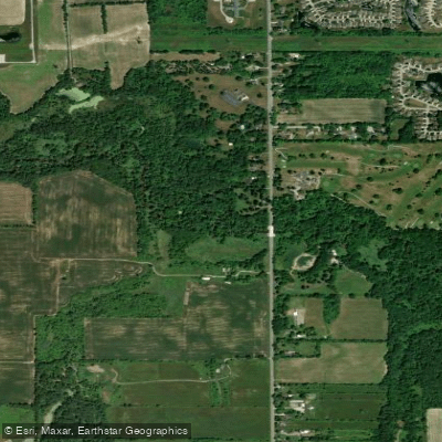
Deep River
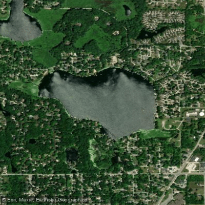
Flint Lake
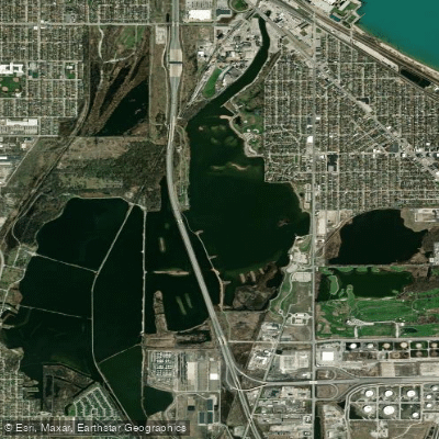
Wolf Lake
Explore Indiana waters
Top paddling waters
Popular Cities
Loading popular cities...
Explore near Portage-Burns Waterway
Access points
Nearby waters
More in Indiana

Smarter Paddling Starts in the App.
Paddleways gives you everything you need to plan smarter, paddle better, and own every trip from first launch to takeout.