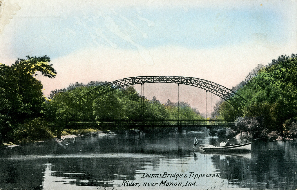





Oakdale Dam
Tippecanoe River · Below Oakdale Dam · National Weather Service
800 cfs now
Next 48 hours
- Today
- 6:00 PM EST to 6:00 PM EST
Forecast updated today at 4:36 PM EST. Schedules can change, so check the operator's page before you go.
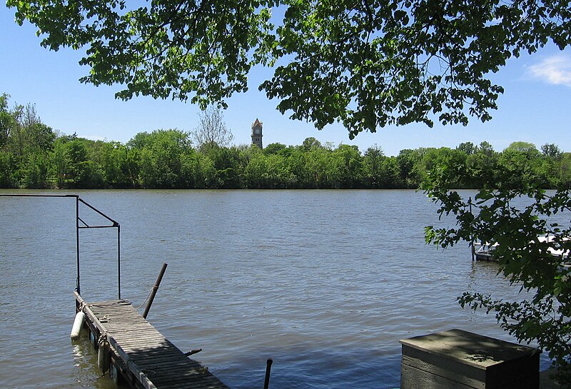
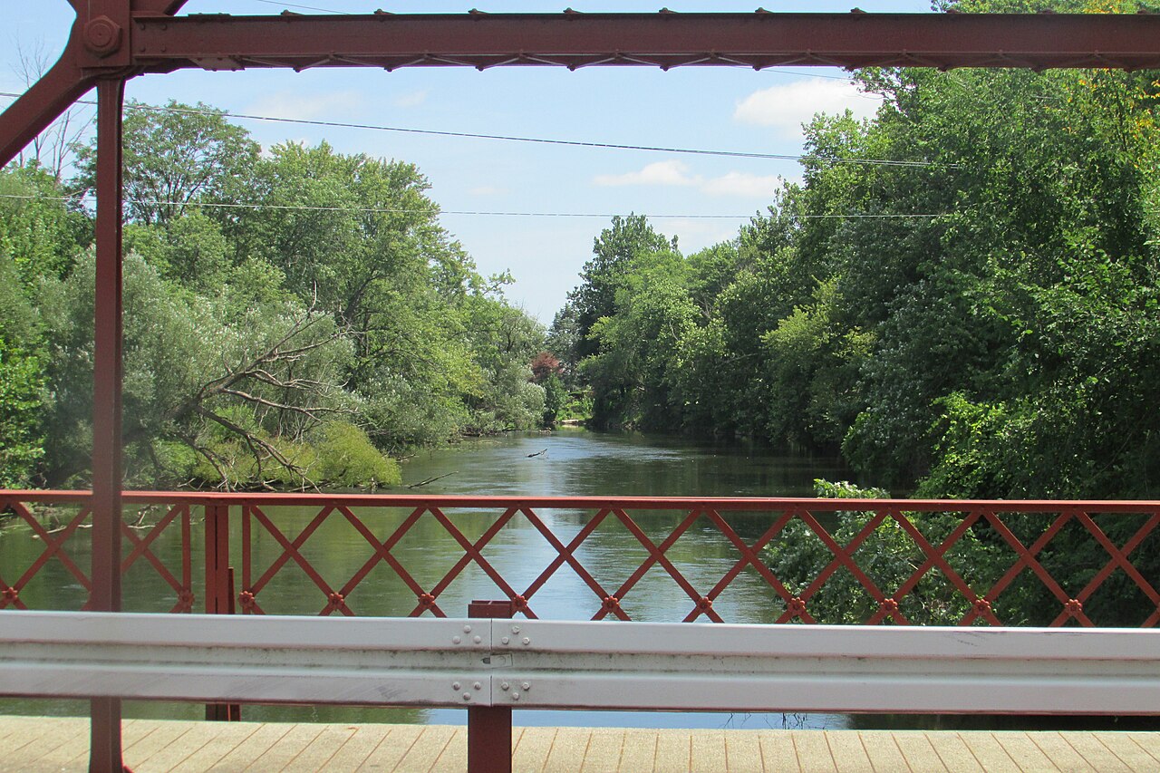
The Tippecanoe River, affectionately known as the "Tippy" by locals, is a scenic waterway that meanders through northern Indiana for 166 miles. This gentle river, fed by 88 natural lakes and numerous small tributaries, offers paddlers a diverse and picturesque journey through the Hoosier heartland. The Tippecanoe provides a range of paddling opportunities suitable for various skill levels, with most sections classified as flatwater or Class I.
The upper reaches, starting near Warsaw, offer a more intimate paddling experience through a landscape dotted with small lakes and wetlands. As the river progresses southward, it widens and gains volume, culminating in its confluence with the Wabash River near Prophetstown State Park.
Popular sections for day trips include the stretch from Monterey to Tippecanoe River State Park, a beautiful 15-mile journey that typically takes 6-8 hours to complete. Another favored route is the 10-mile segment from Oakdale Dam to the Springboro Bridge, which offers a full day of paddling through scenic landscapes. For those seeking shorter excursions, outfitters in the Warsaw area provide 2-hour and 4-hour float trips, covering approximately 5 miles of the river.
The Tippecanoe is generally paddleable from spring through fall, with summer being the most popular season. Water levels in the lower sections remain relatively consistent due to releases from the Oakdale Dam, ensuring adequate flow for paddling even during drier periods. Spring can bring higher water levels and faster currents, while fall offers the bonus of colorful foliage along the riverbanks.
Wildlife enthusiasts will appreciate the river's rich ecosystem. The Tippecanoe is home to a variety of fish species, including northern pike, channel catfish, and various bass species. Birdwatchers may spot herons, eagles, and numerous songbirds along the wooded shorelines. The river's banks are often lined with mature hardwood forests, providing habitat for deer, raccoons, and other woodland creatures.
Notable landmarks along the river include the Oakdale Dam, which creates Lake Freeman, and several small islands that add to the river's natural beauty. The Tippecanoe River State Park offers camping facilities and serves as a popular take-out point for multi-day trips.
Access points are plentiful along the river's course, with towns like Warsaw, Winamac, and Monticello serving as convenient launch or exit locations. Many of these access points feature concrete ramps and ample parking, making it easy for paddlers to begin or end their journeys.
The Tippecanoe holds historical significance as part of the landscape where Tecumseh's confederation of Native American tribes once lived. The river's name itself is derived from a Native American word, adding to its cultural importance in the region.
Safety considerations on the Tippecanoe are typical of most flatwater rivers. Paddlers should be aware of occasional snags or fallen trees, especially in the upper sections. As always, wearing a personal flotation device is essential, and checking water levels before embarking on a trip is advisable.
For those interested in multi-day adventures, the entire lower stretch of the Tippecanoe, from Warsaw to its confluence with the Wabash River, offers an extended journey of over 100 miles. This trip provides a comprehensive experience of the river's changing character and can be tailored to various durations depending on the paddler's preferences.
Whether you're seeking a short, family-friendly float or an extended river expedition, the Tippecanoe River offers a quintessential Midwestern paddling experience, rich in natural beauty and steeped in the history of the Hoosier State.
Learn how to get on Tippecanoe River. Uncover great paddling access points, boat ramps, and all the facilities you need for an unforgettable day on the water. Some locations shown may border or include private property. Always check property boundaries and applicable regulations before visiting. PaddleWays's Public & Private Land layer can help you plan your access with confidence.
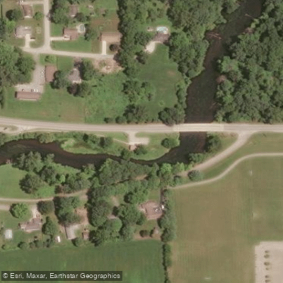
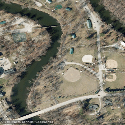
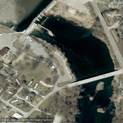
Whether you're en route and conditions shift or you're looking for the best spot based on current flows, we enable you to make informed decisions on the fly.





Every user gets free access to launch points, boat ramps, and public property parcels.
See the best times to paddle Tippecanoe River and check the forecast before you go.
All Flow Stations
Scheduled releases and generation forecasts from the dams on Tippecanoe River.
Tippecanoe River · Below Oakdale Dam · National Weather Service
800 cfs now
Forecast updated today at 4:36 PM EST. Schedules can change, so check the operator's page before you go.

Loading popular cities...
Paddleways gives you everything you need to plan smarter, paddle better, and own every trip from first launch to takeout.
