Wabash River
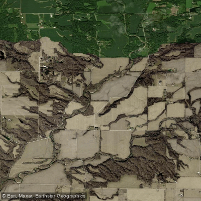
Wabash River
- Boat Ramps
- 30
- Access Points
- 41
- Campsites
- 27
The Wabash River is a majestic waterway that flows through the heart of Indiana, offering paddlers a journey through the Hoosier State. Stretching over 500 miles from its headwaters in Ohio to its confluence with the Ohio River, the Wabash is one of the largest free-flowing rivers east of the Mississippi.
Paddlers on the Wabash can expect a predominantly flatwater experience suitable for a wide range of skill levels. The river is characterized by its slow, meandering course through rural landscapes, forested wetlands, and small towns. Its gentle current and generally calm waters make it an excellent choice for beginners and families, while its length provides ample opportunity for more experienced paddlers to embark on multi-day adventures.
The Upper Wabash, from Huntington to Terre Haute, offers a peaceful paddling experience through picturesque Indiana countryside. This section is ideal for day trips or multi-day excursions, with many paddlers opting for a 3-day, 2-night journey covering approximately 56 miles. The Lower Wabash, from Terre Haute to Mount Carmel, continues the tranquil float through the Indiana-Illinois border region.
While primarily a flatwater paddle, the Wabash does offer a few spots of excitement for more adventurous kayakers. Near Huntington, a unique feature known as the "Huntington surfing hole" provides a playspot for whitewater enthusiasts. Additionally, the Old Dam near New Harmony creates a series of Class I-II rapids during low water conditions in summer, offering a refreshing change of pace.
The best time to paddle the Wabash is typically from late spring through early fall when water levels are most favorable. However, paddlers should always check current conditions, as water levels can significantly impact travel times and safety. During periods of high water, the river's normally gentle nature can become more challenging and potentially dangerous.
Wildlife enthusiasts will find plenty to observe along the Wabash. The river is home to numerous species of birds, including bald eagles and great blue herons. The surrounding forests and wetlands support a diverse ecosystem, making it a prime location for nature photography and birdwatching.
Several historic towns dot the banks of the Wabash, offering convenient access points and opportunities to explore local culture. New Harmony, with its rich history as a utopian community, is a particularly interesting stop. Other notable access points include Montezuma, Clinton, and Terre Haute, each offering boat ramps and amenities for paddlers.
For those seeking a longer adventure, the Wabash offers excellent multi-day trip options. A popular route is the 60-mile stretch from Covington to Terre Haute, typically completed in three days. This journey allows paddlers to fully immerse themselves in the river's natural beauty and experience the changing landscapes of Indiana.
Safety is paramount on the Wabash. Paddlers should always wear life jackets, be aware of potential hazards such as submerged logs or debris, and respect private property along the shoreline. It's also advisable to paddle with a group and inform others of your trip plans.
The Wabash River holds a special place in Indiana's history and culture, immortalized in the state song "On the Banks of the Wabash, Far Away." Today, it continues to be a vital natural resource and a beloved destination for paddlers seeking to experience the heart of the Midwest from a unique perspective.
Water access, boat ramps & amenities
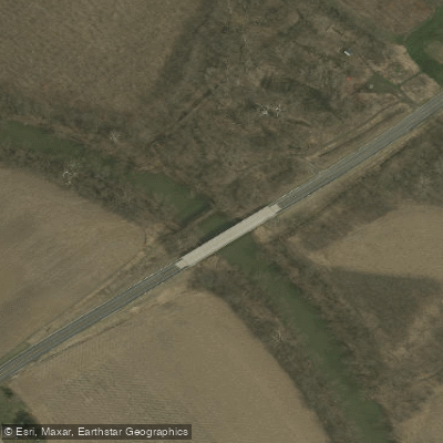
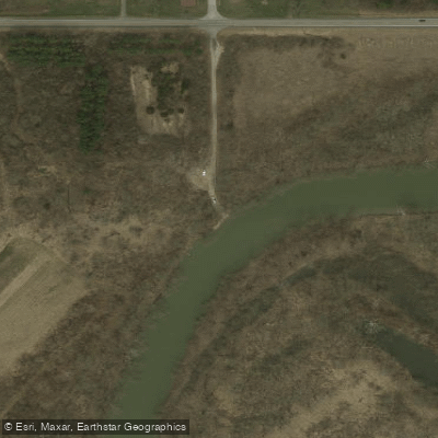
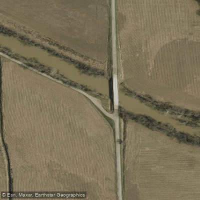
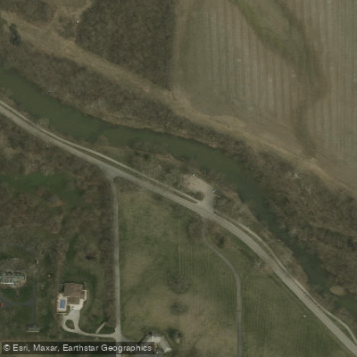
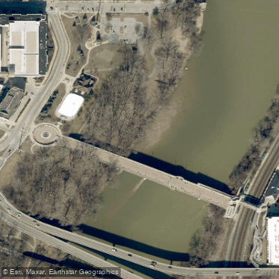
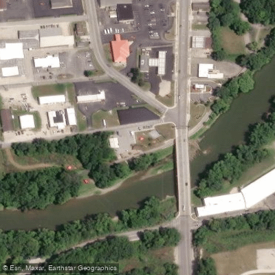
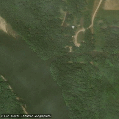
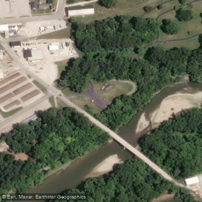
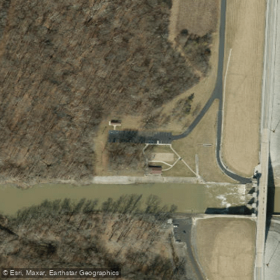
Learn how to get on Wabash River. Uncover great paddling access points, boat ramps, and all the facilities you need for an unforgettable day on the water. Some locations shown may border or include private property. Always check property boundaries and applicable regulations before visiting. PaddleWays's Public & Private Land layer can help you plan your access with confidence.
Paddle smarter with real-time insights
Whether you're en route and conditions shift or you're looking for the best spot based on current flows, we enable you to make informed decisions on the fly.








Find Places to Paddle

Over 400,000 Places to Paddle
Every user gets free access to launch points, boat ramps, and public property parcels.


Water and weather conditions (10 day forecast)
See the best times to paddle Wabash River and check the forecast before you go.
WABASH RIVER AT MT. CARMEL, IL
All Flow Stations
Paddling near Wabash River
Sangamon River
Iroquois River
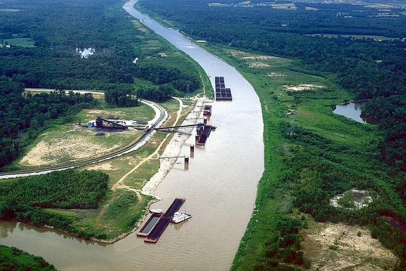
Kaskaskia River
Lake Vermilion
Lake Mingo
Sugar Creek
Middle Fork Vermilion River
Cecil M Harden Lake
Homer Lake
Explore Indiana waters
Top paddling waters
Popular Cities
Loading popular cities...
Explore near Wabash River
Access points
Nearby waters
More in Indiana

Smarter Paddling Starts in the App.
Paddleways gives you everything you need to plan smarter, paddle better, and own every trip from first launch to takeout.