Little Sioux River
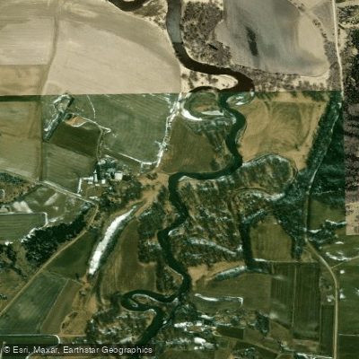
Little Sioux River
- Boat Ramps
- 13
- Access Points
- 46
- Campsites
- 13
The Little Sioux River is a significant waterway in the American Midwest, originating in the swampy areas of southwestern Minnesota and flowing southwesterly through northwestern Iowa for approximately 220 miles before emptying into the Missouri River. As western Iowa's largest interior stream, its watershed rivals those of the Wapsipinicon and Maquoketa Rivers combined. The river's journey takes it through several Iowa counties, including Clay, O'Brien, Cherokee, and Woodbury, offering paddlers a diverse landscape of prairie vistas and scenic valleys.
The Little Sioux River Water Trail, also known as the Inkpaduta Canoe Trail, stretches about 100 miles from Spencer to Smithland, Iowa, providing one of the state's most picturesque and underutilized paddling routes. Paddling difficulty on the Little Sioux ranges from flatwater to Class II rapids, depending on water levels and specific locations. This variety makes it suitable for beginners in calmer sections while offering challenges for more experienced paddlers in swifter areas.
The best time for paddling is typically June and July, extending into the fall months when water levels are optimal and the surrounding landscape is at its most vibrant. The river valley boasts rich biodiversity, supporting a variety of prairie flora and fauna native to the region. Paddlers may encounter diverse wildlife and plant species that have adapted to the river's ecosystem.
Key access points include Spencer as the primary put-in for the Inkpaduta Canoe Trail, with Smithland serving as a common take-out. The Cherokee County Conservation Board maintains 12 river access areas, facilitating multiple entry and exit options for paddlers.
Historically, the Little Sioux River played a significant role in shaping the region's landscape. The area around Spencer was once part of Glacial Lake Spencer, formed by meltwaters from ancient glaciers. This geological history contributes to the river's unique characteristics and surrounding topography.
For those interested in multi-day trips, the full 220-mile route from Diamond Lake, Iowa, to the Missouri River confluence offers an extended adventure through the heart of Iowa's prairie country. Paddlers should be prepared for varying conditions and check water levels before embarking on their journey.
The Little Sioux River not only provides recreational opportunities but also offers a glimpse into Iowa's natural beauty, rich history, and the interplay between pioneer settlements and Native American heritage. Its waters tell the story of the land's transformation from glacial times to the present, making it a paddling destination of both scenic and cultural significance in the Midwest.
Water access, boat ramps & amenities
Learn how to get on Little Sioux River. Uncover great paddling access points, boat ramps, and all the facilities you need for an unforgettable day on the water. Some locations shown may border or include private property. Always check property boundaries and applicable regulations before visiting. PaddleWays's Public & Private Land layer can help you plan your access with confidence.
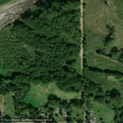
Ritts Access
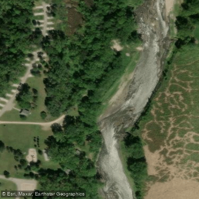
Little Sioux Park Access
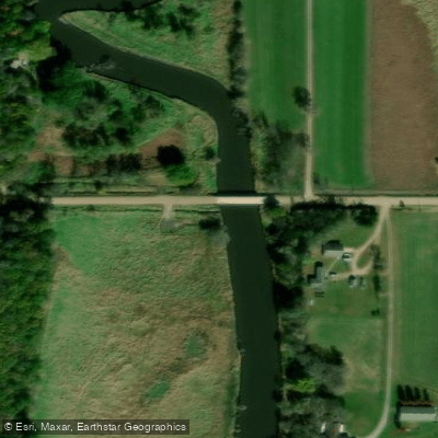
Judd Canoe Access
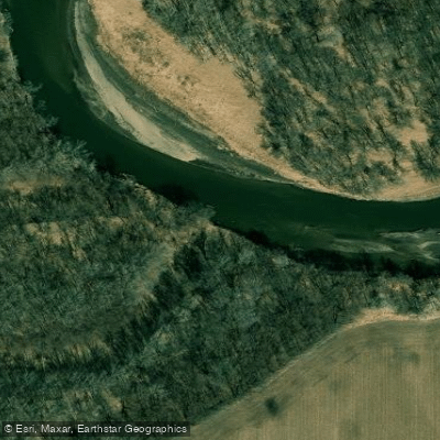
Sue Jordahl Access
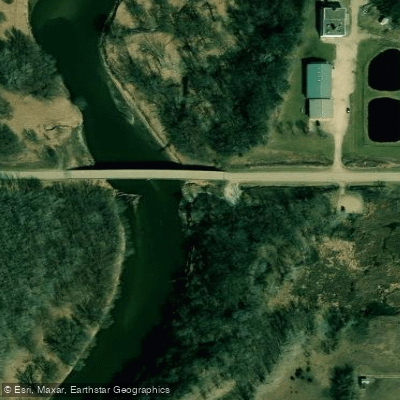
Redtail Ridge Area Access
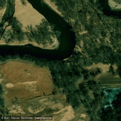
Hannibal Waterman Wildlife Area Access
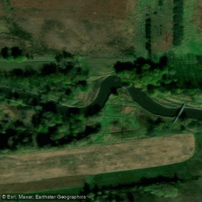
Horseshoe Bend Access
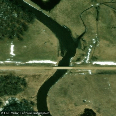
Spooky Hollow Access
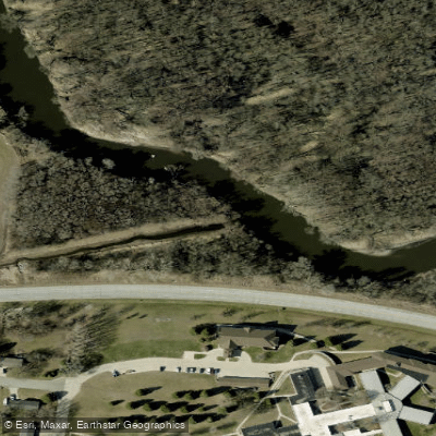
Oneota Little Sioux Access
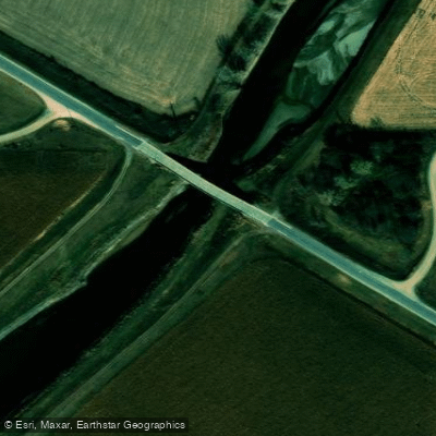
Smithland Access
Paddle smarter with real-time insights
Whether you're en route and conditions shift or you're looking for the best spot based on current flows, we enable you to make informed decisions on the fly.








Find Places to Paddle

Over 400,000 Places to Paddle
Every user gets free access to launch points, boat ramps, and public property parcels.


Water and weather conditions (10 day forecast)
See the best times to paddle Little Sioux River and check the forecast before you go.
Little Sioux River at Linn Grove, IA
All Flow Stations
Paddling near Little Sioux River

Missouri River
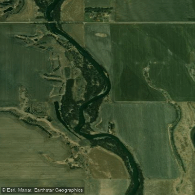
Big Sioux River
McCook Lake
Browns Lake
Floyd River
Blue Lake
Badger Lake
Elkhorn River
Rock River
Explore Iowa waters
Top paddling waters
Popular Cities
Loading popular cities...
Explore near Little Sioux River
Access points
- Cayler Prairie Complex Boat Ramp
- Little Sioux Boat Ramp
- Sioux Rapids City Park Boat Ramp
- Washta Boat Ramp
- Inkpaduta Access Boat Ramp
- Westcott Park Boat Ramp
- Riverside Boat Ramp
- Silver Sioux Recreation Area Boat Ramp
- Kindlespire Park Boat Ramp
- Little Sioux Wildlife Area Boat Ramp
- West Leach Park Boat Ramp
- Bluebird Boat Ramp
- All 290 spots
Nearby waters
More in Iowa

Smarter Paddling Starts in the App.
Paddleways gives you everything you need to plan smarter, paddle better, and own every trip from first launch to takeout.