Saylorville Lake
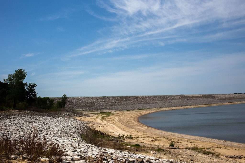
Saylorville Lake
- Boat Ramps
- 14
- Access Points
- 17
- Campsites
- 7
Saylorville Lake is a 26,000-acre reservoir located on the Des Moines River, about 11 miles north of Des Moines, Iowa. Created in 1977 for flood control, the lake stretches over 50 miles up the river valley and offers diverse recreational opportunities. For paddlers, the lake provides ample space for canoeing and kayaking, with multiple access points available.
Key boat launches include Lakeview, Sandpiper, Cherry Glen, and the Saylorville Lake Marina. A $5 daily fee or $40 annual pass is required for boat launching. The Oak Grove Recreation Area features the only designated swimming beach on the lake, which may be of interest to paddlers looking to take a break.
The lake is surrounded by dense timber stands, creating scenic views for paddlers. Wildlife is abundant, with opportunities to spot white-tailed deer, turkeys, waterfowl, and various small game animals. The lake's size and surrounding natural areas make it an ideal spot for day trips or longer paddling excursions.
Paddlers should be aware of potential hazards from other recreational users, as the lake is popular for various boating activities including water skiing and sailing. The Saylorville Lake Visitor Center, located at 8250 NW Horseshoe Road in Ankeny, is an excellent starting point for trip planning, offering information on lake history and an interactive map display.
The Neal Smith Trail, a 24-mile paved path along the east side of the lake, connects various campgrounds and recreation areas, potentially useful for paddlers planning multi-day trips. Several campgrounds around the lake, including Acorn Valley, Bob Shetler, Cherry Glen, and Prairie Flower, offer overnight options for paddlers.
Water levels can fluctuate significantly due to the lake's flood control function, so paddlers should check current conditions before their trip. The lake typically experiences busy periods during summer weekends and holidays, so those seeking a quieter experience may prefer weekdays or shoulder seasons.
Water access, boat ramps & amenities
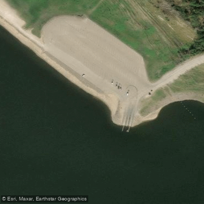
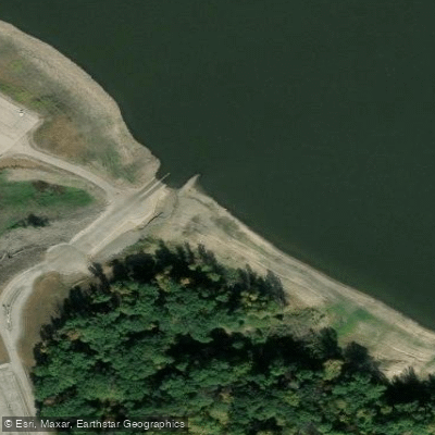
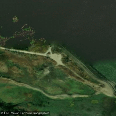
Learn how to get on Saylorville Lake. Uncover great paddling access points, boat ramps, and all the facilities you need for an unforgettable day on the water. Some locations shown may border or include private property. Always check property boundaries and applicable regulations before visiting. PaddleWays's Public & Private Land layer can help you plan your access with confidence.
Paddle smarter with real-time insights
Whether you're en route and conditions shift or you're looking for the best spot based on current flows, we enable you to make informed decisions on the fly.








Find Places to Paddle

Over 400,000 Places to Paddle
Every user gets free access to launch points, boat ramps, and public property parcels.


Water and weather conditions (10 day forecast)
See the best times to paddle Saylorville Lake and check the forecast before you go.
No forecast data available.
Paddling near Saylorville Lake
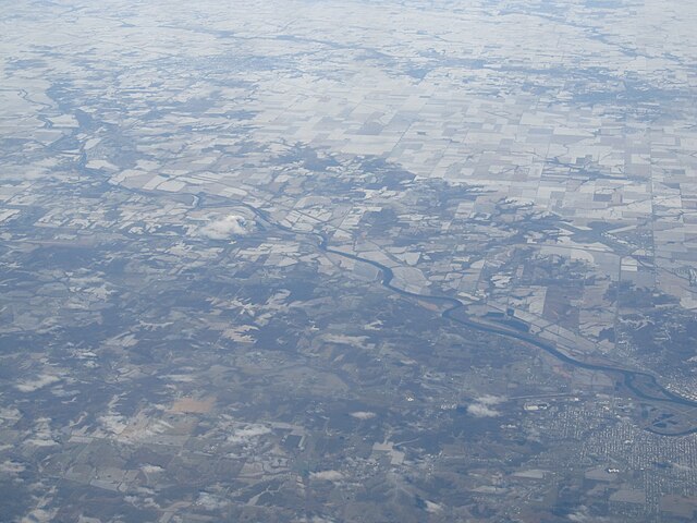
Des Moines River
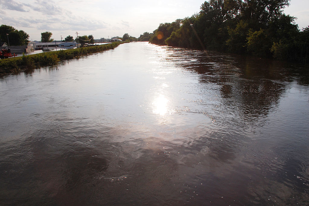
South Skunk River
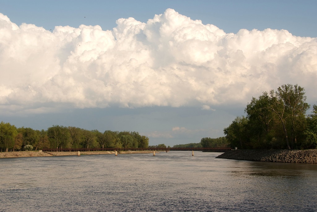
Lake Red Rock
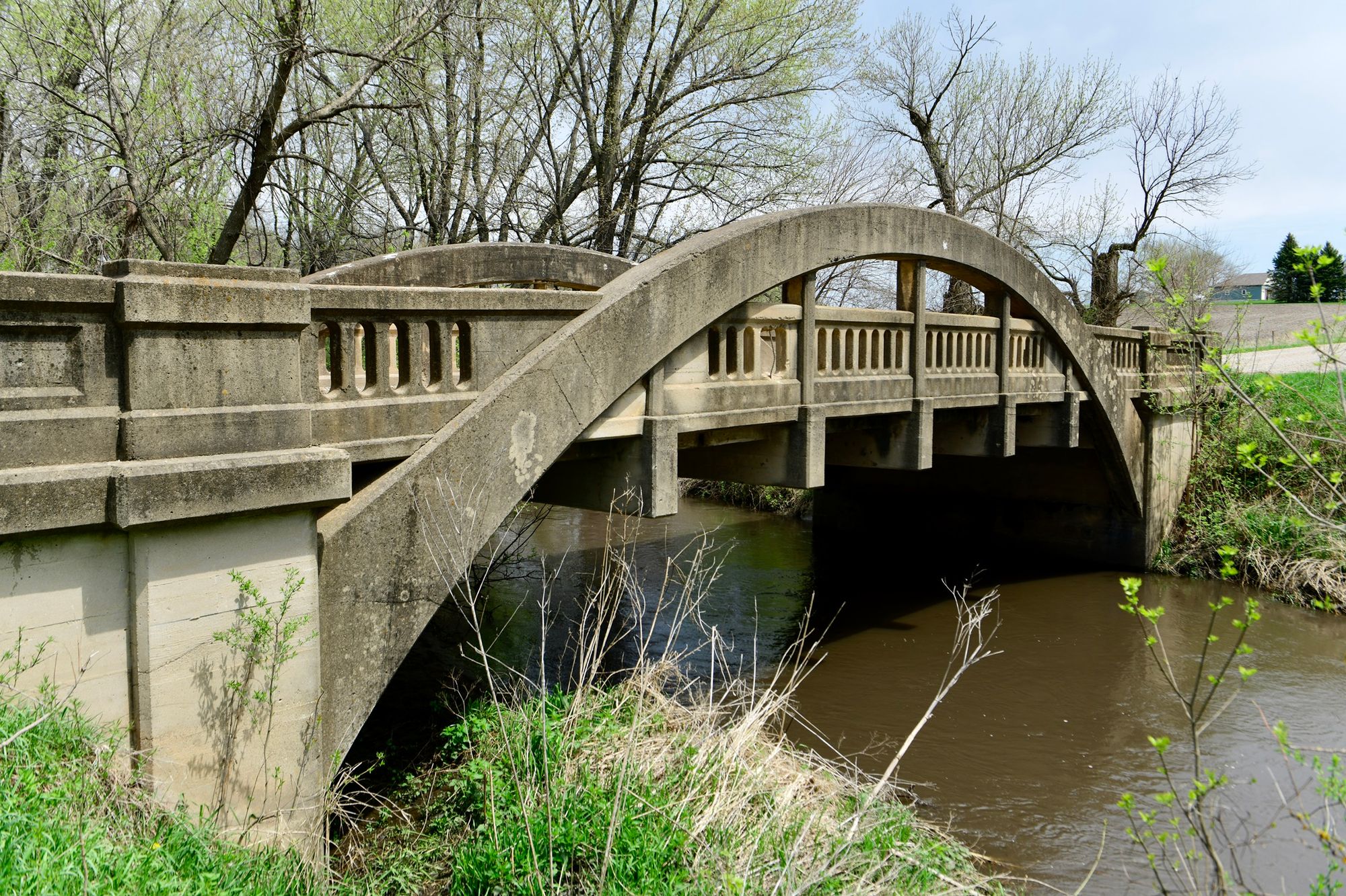
Big Creek
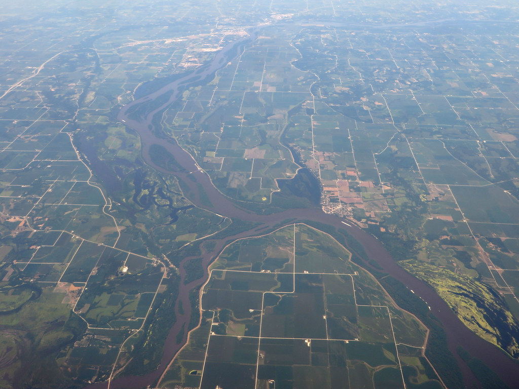
Iowa River
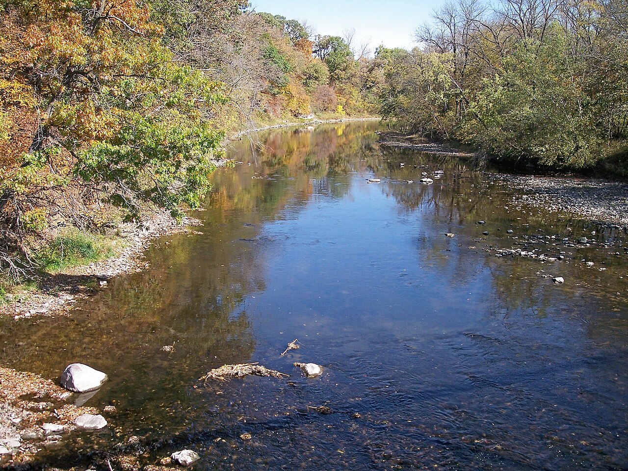
Boone River
Big Creek Lake
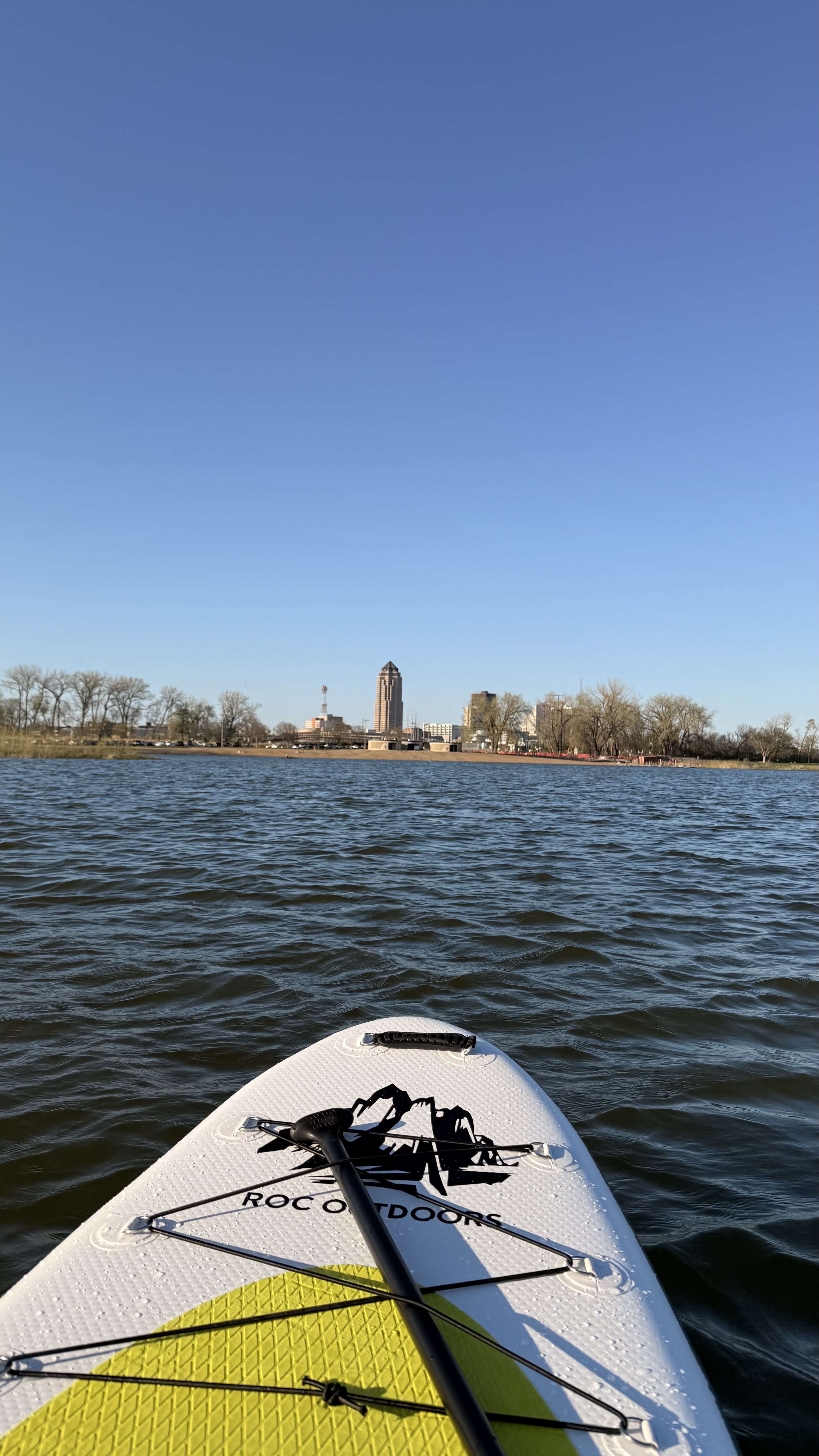
Grays Lake
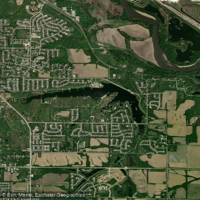
Lake Easter
Explore Iowa waters
Top paddling waters
Popular Cities
Loading popular cities...
Explore near Saylorville Lake
Access points
- Lakeview Main B Boat Ramp
- Lakeview Main A Boat Ramp
- Sandpiper Boat Ramp
- Lincoln Boat Ramp
- Cherry Glen Day Use Boat Ramp
- Saylorville Marina Boat Ramp
- Lakeview High Water Boat Ramp
- Sandpiper Boat Ramp
- Lakeview Main B Boat Ramp
- Saylorville Lake Marina Boat Ramp
- Lakeview Cherry Glenn Boat Ramp
- Lewis A Jester Park Boat Ramp
- All 61 spots
Nearby waters
More in Iowa

Smarter Paddling Starts in the App.
Paddleways gives you everything you need to plan smarter, paddle better, and own every trip from first launch to takeout.