Rock River
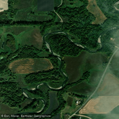
Rock River
- Boat Ramps
- 2
- Access Points
- 8
- Campsites
- 8
The Rock River is a scenic waterway that flows through northwestern Iowa, originating near Worthington, Minnesota and traveling south until it joins the Big Sioux River near Hawarden, Iowa. This 54-mile stretch offers paddlers a diverse journey through prairie, timber, and wetland habitats. The river provides excellent opportunities for multi-day paddling trips, with a popular 54-mile section from Boon Ranch Wildlife Area to Rock Sioux Access. This Class II stretch features a mix of peaceful floating and mild rapids, suitable for intermediate paddlers. The river maintains good current throughout much of its course, with occasional small boulder gardens adding interest. Paddling difficulty ranges from flatwater to Class II, making it accessible to a variety of skill levels. Spring and early summer typically offer the best water levels for paddling.
The Rock River is part of the larger Big Sioux River watershed, draining approximately 246 square miles in the region. Wildlife enthusiasts will appreciate the opportunity to observe diverse species along the river corridor, particularly birds in wetland areas. The landscape transitions from open farmland to more wooded sections as you progress downstream.
Key landmarks include the 215-acre Boon Ranch Wildlife Area near the put-in, which offers hiking trails and excellent wildlife viewing. The 665-acre Rock River Access Area near the take-out provides additional natural areas to explore. Primary access points include: - Boon Ranch Wildlife Area (4.5 miles north of Rock Rapids, IA) - Rock Sioux Access (near the confluence with the Big Sioux River)
The Rock River holds cultural significance as part of the Jay Heath Canoe and Kayak Trail, named after a key figure in founding the South Dakota Canoe and Kayak Association. While not designated as a National Wild and Scenic River, it offers a serene paddling experience through Iowa's natural landscape.
Safety considerations include being prepared for varying water levels and potential logjams. Paddlers should also be aware of agricultural fences that may cross the river in some areas.
For those seeking a longer adventure, the Rock River can be combined with sections of the Big Sioux River, potentially extending the trip to nearly 100 miles from the Minnesota border to Sioux City, Iowa. Numerous access points and campgrounds along the route facilitate multi-day excursions.
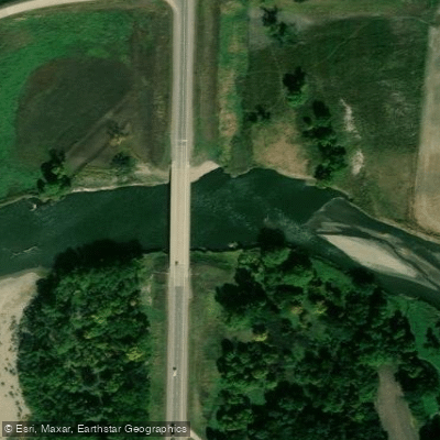
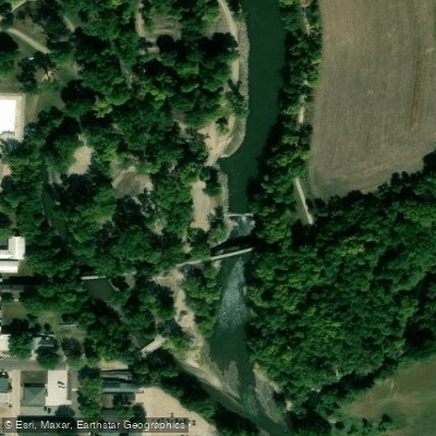
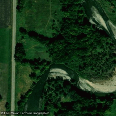
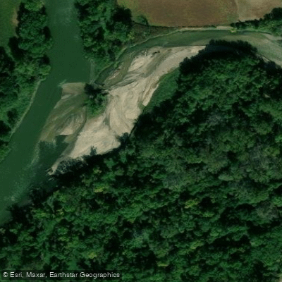
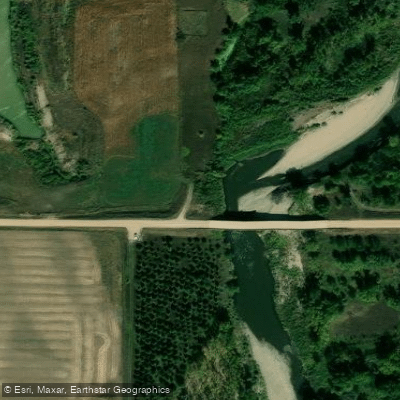
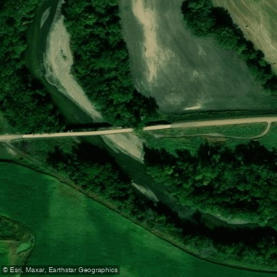
Water access, boat ramps & amenities
Learn how to get on Rock River. Uncover great paddling access points, boat ramps, and all the facilities you need for an unforgettable day on the water. Some locations shown may border or include private property. Always check property boundaries and applicable regulations before visiting. PaddleWays's Public & Private Land layer can help you plan your access with confidence.
Paddle smarter with real-time insights
Whether you're en route and conditions shift or you're looking for the best spot based on current flows, we enable you to make informed decisions on the fly.








Find Places to Paddle

Over 400,000 Places to Paddle
Every user gets free access to launch points, boat ramps, and public property parcels.


Water and weather conditions (10 day forecast)
See the best times to paddle Rock River and check the forecast before you go.
Rock River below Tom Creek at Rock Rapids, IA
All Flow Stations
Paddling near Rock River
James River
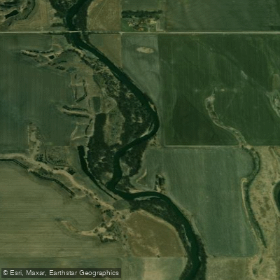
Big Sioux River
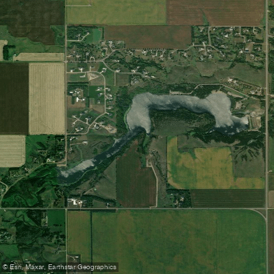
Lake Alvin
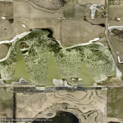
Scotts Slough
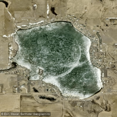
Wall Lake
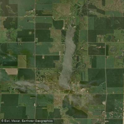
East Vermillion Lake
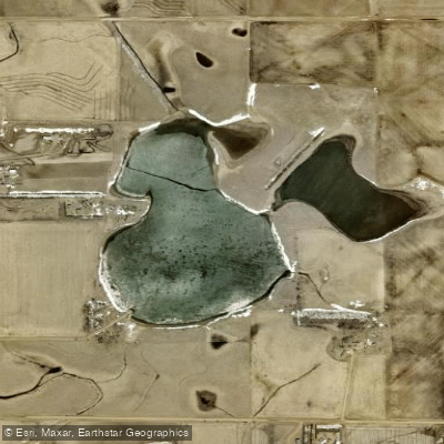
Lost Lake
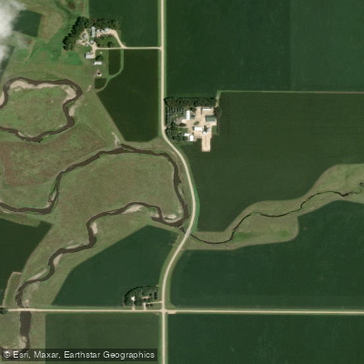
Split Rock Creek
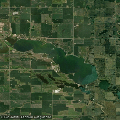
Lake Madison
Clear Lake
Explore Iowa waters
Top paddling waters
Popular Cities
Loading popular cities...
Explore near Rock River
Access points
Nearby waters
More in Iowa

Smarter Paddling Starts in the App.
Paddleways gives you everything you need to plan smarter, paddle better, and own every trip from first launch to takeout.