Mississippi River

Mississippi River
- Boat Ramps
- 49
- Access Points
- 76
- Campsites
- 179
Mississippi River Paddling in Ascension County, Louisiana Mississippi River offers some of Louisiana's most challenging yet rewarding paddling experiences as it flows through Ascension County, carrying centuries of history along its muddy waters. We encounter a massive, powerful waterway that demands respect and advanced paddling skills, but rewards experienced paddlers with unparalleled views of Louisiana's plantation country and diverse river ecosystems.
River Character and Paddling Experience You'll find the Mississippi here is a Class I river in terms of rapids, but don't let that fool you—this is serious big water paddling. The river's immense volume creates powerful currents, dangerous eddies, and unpredictable hydraulics that can overwhelm inexperienced paddlers. We typically paddle close to shore to avoid the main shipping channel, where massive barges and towboats create dangerous wakes and require constant vigilance.
The river's character changes dramatically with water levels and weather. During high water periods, we encounter swift currents exceeding 5 mph, while low water reveals sandbars and creates different hazard patterns. You'll experience a truly wild river despite its industrial uses—the Mississippi maintains an untamed power that connects us to America's great waterway system.
Specific Paddling Sections Donaldsonville to Oak Alley Plantation represents our most popular and challenging section. This roughly 23-mile stretch rates as "Hard" difficulty due to distance, current strength, and barge traffic exposure. We launch from the paved boat ramp near the Highway 18 bridge in Donaldsonville, where Bayou Lafourche meets the Mississippi. The route follows the river's western bank southward, passing historic plantation sites and offering spectacular views of Oak Alley's famous oak trees from the water.
This section requires 6-8 hours of steady paddling and advanced river reading skills. You'll navigate around wing dikes, avoid powerful eddies behind point bars, and constantly monitor for commercial traffic. The takeout at Oak Alley provides convenient access to the plantation grounds and represents a logical stopping point before the river becomes even more challenging downstream.
Bayou Lafourche - Donaldsonville Section offers a much gentler introduction to the area's paddling opportunities. We rate this "Beginner" level, launching from the paved driveway access point along Highway 308 in Donaldsonville. This tributary provides calm water paddling through scenic cypress swamps and residential areas, perfect for families or those wanting to experience Louisiana's bayou environment without Mississippi River challenges.
Access Points and Logistics Primary access in Donaldsonville centers around the Highway 18 bridge area, where you'll find paved parking and boat ramp facilities. The Bayou Lafourche launch sits along Highway 308, offering easier vehicle access and calmer launch conditions. For the Oak Alley section, we recommend arranging shuttle service or using commercial outfitters, as the distance makes self-shuttling impractical.
Parking can be limited during peak tourist seasons, particularly near Oak Alley Plantation. We suggest arriving early morning to secure spots and avoid afternoon heat and wind. Commercial shuttle services operate between major access points, though advance booking is essential.
Seasonal Considerations and Flow Spring through early summer provides optimal paddling conditions, with moderate flows and comfortable temperatures. We avoid midsummer paddling due to extreme heat and afternoon thunderstorms that can create dangerous conditions on open water. Fall offers excellent paddling with cooler temperatures and generally stable weather patterns.
Winter paddling is possible but requires cold-weather gear and careful weather monitoring. You'll encounter fewer crowds but must prepare for rapid weather changes and potentially challenging launch conditions. River levels fluctuate significantly based on upstream precipitation and dam releases, so check current conditions before launching.
Scenery and Natural Features Paddling here provides unmatched views of Louisiana's plantation country from a unique water-level perspective. We pass beneath ancient live oaks draped in Spanish moss, their massive canopies creating cathedral-like spaces along the riverbank. The famous Oak Alley plantation appears as it was meant to be seen—from the river approach that welcomed visitors in the antebellum era.
Wildlife encounters include great blue herons, egrets, and various waterfowl. You'll spot alligators in quieter backwater areas, though they typically avoid the main river current. The contrast between wild river ecosystems and cultivated plantation grounds creates a uniquely Louisiana landscape that tells the story of human interaction with this mighty river.
Hazards and Safety Considerations Commercial barge traffic presents the most serious hazard. These massive vessels create powerful wakes and suction that can capsize small craft. We maintain constant awareness of approaching traffic and move well clear of the navigation channel when barges pass. Never attempt to cross in front of moving commercial traffic—their stopping distance exceeds several miles.
Wing dikes and revetments create turbulent water and dangerous hydraulics. These rock structures, designed to control erosion and maintain navigation channels, can trap kayaks in powerful recirculating currents. You'll need to read water carefully and avoid areas of confused current patterns around these structures.
Weather changes rapidly on open water. Afternoon thunderstorms develop quickly during summer months, creating dangerous lightning conditions and strong winds that can make paddling impossible. We monitor weather forecasts carefully and plan early morning starts to avoid afternoon storm patterns.
What Makes This Special Mississippi River paddling in Ascension County connects us to America's greatest river system while providing intimate access to Louisiana's plantation heritage. Few experiences match the perspective gained from paddling past Oak Alley's famous oak alley, seeing these historic sites as river travelers have for centuries.
The juxtaposition of wild river power and cultivated landscape creates a uniquely American paddling experience. We're simultaneously on one of the continent's great wilderness waterways and in the heart of Louisiana's cultural landscape. This combination of natural power, historical significance, and scenic beauty makes Ascension County's Mississippi River paddling truly exceptional for those with the skills to handle its challenges safely.
The river demands respect, preparation, and advanced paddling abilities, but rewards experienced paddlers with an unforgettable journey through the heart of Louisiana's river country.
Water access, boat ramps & amenities
Learn how to get on Mississippi River. Uncover great paddling access points, boat ramps, and all the facilities you need for an unforgettable day on the water. Some locations shown may border or include private property. Always check property boundaries and applicable regulations before visiting. PaddleWays's Public & Private Land layer can help you plan your access with confidence.
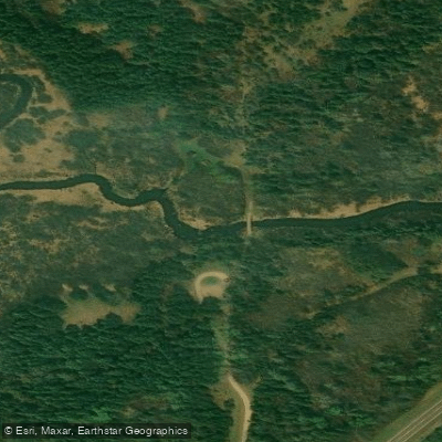
Mississippi River, Coffee Pot Landing, #2 Public Water Access Site
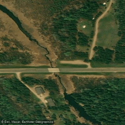
Mississippi River, Gulsvig Landing, #3 Public Water Access Site
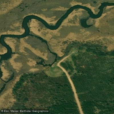
Mississippi River, Pine Point Landing Public Water Access Site
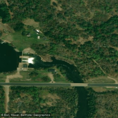
Mississippi River, Co Rd 12 Public Water Access Site
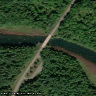
Mississippi River, Big Fish Public Water Access Site
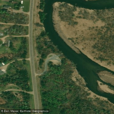
Mississippi River, Co Rd 25 Public Water Access Site
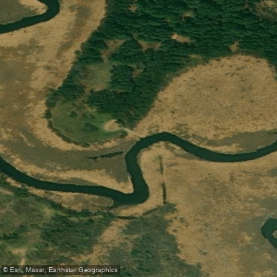
Mississippi River, Bear Den Public Water Access Site
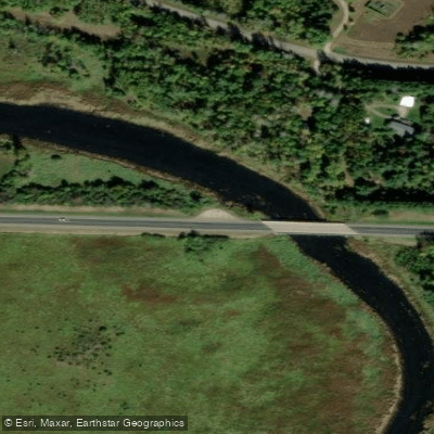
Mississippi River, Iron Bridge Public Water Access Site
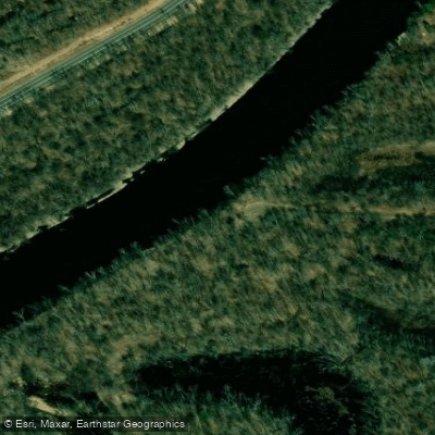
Mississippi River, Lee Ferry Public Water Access Site
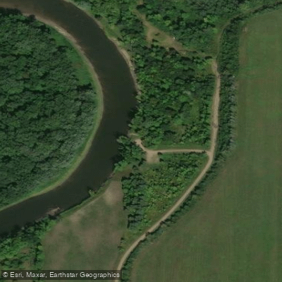
Mississippi River, Kimball Public Water Access Site
Paddle smarter with real-time insights
Whether you're en route and conditions shift or you're looking for the best spot based on current flows, we enable you to make informed decisions on the fly.








Find Places to Paddle

Over 400,000 Places to Paddle
Every user gets free access to launch points, boat ramps, and public property parcels.


Water and weather conditions (10 day forecast)
See the best times to paddle Mississippi River and check the forecast before you go.
MISSISSIPPI RIVER AT MEMPHIS, TN
All Flow Stations
Paddling near Mississippi River
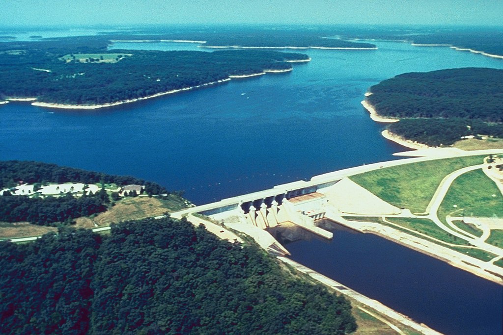
Mark Twain Lake
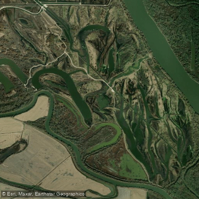
Horseshoe Lake
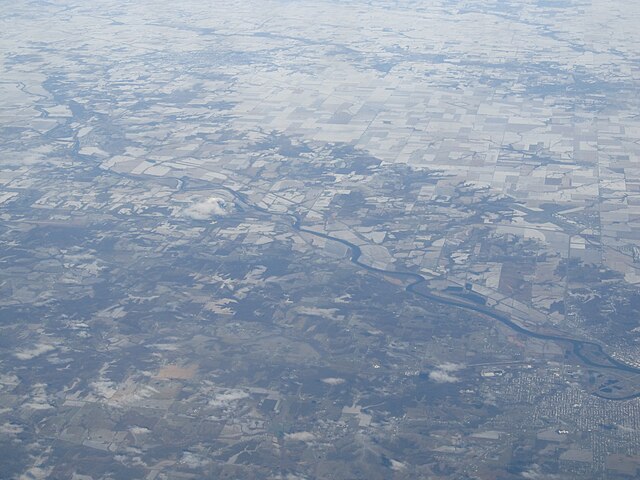
Des Moines River
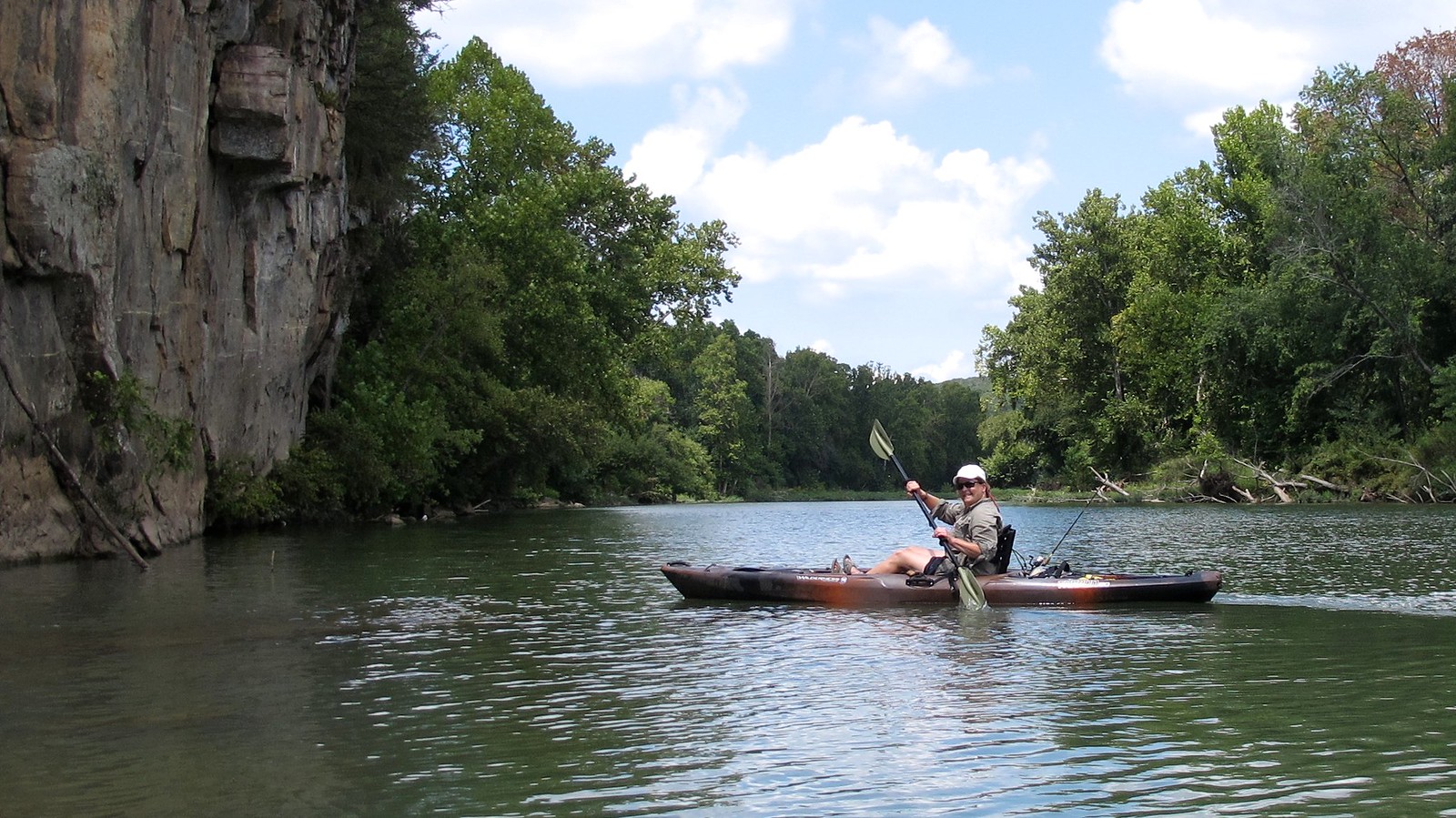
Illinois River
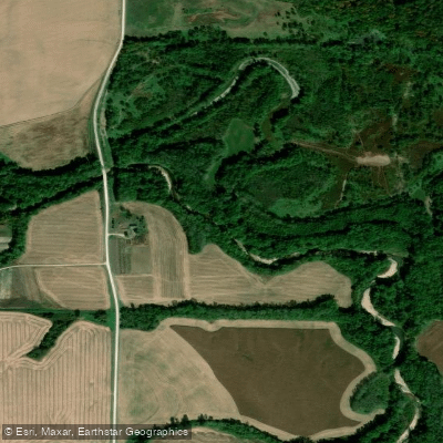
South Fabius River
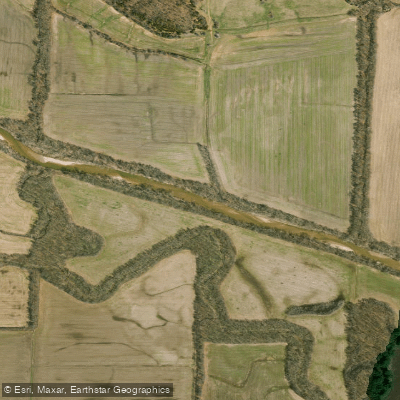
North Fabius River
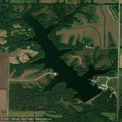
Henry Sever Lake
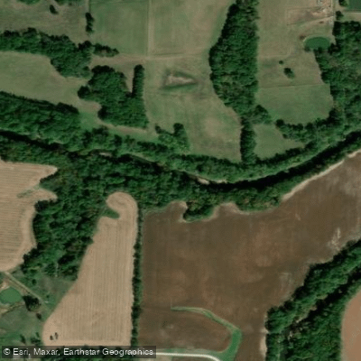
Middle Fabius River
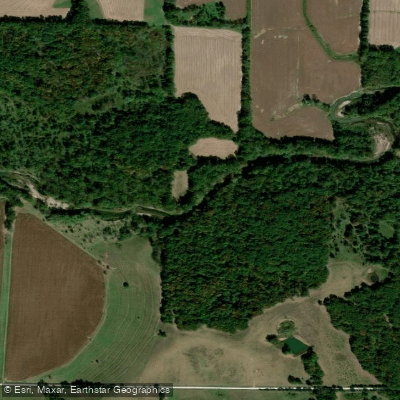
North River
Explore Iowa waters
Top paddling waters
Popular Cities
Loading popular cities...
Explore near Mississippi River
Access points
- Gulsvig Landing Boat Ramp
- Mississippi River, Aitkin Public Water Access Site
- Mississippi River, Evergreen Public Water Access Site
- Mississippi River, #10 Public Water Access Site
- Mississippi River, Steamboat Landing Public Water Access Site
- Mississippi River, Blackberry Bridge Public Water Access Site
- Coffee Pot Landing Boat Ramp
- Mississippi River, County Line Public Water Access Site
- Highway 6 Boat Ramp
- Lee Ferry Access Boat Ramp
- Mississippi River, Lake Winnibigoshish Rec Area Public Water Access Site
- Oak Haven Resort Slipway Boat Ramp
- All 1660 spots
Nearby waters
More in Iowa

Smarter Paddling Starts in the App.
Paddleways gives you everything you need to plan smarter, paddle better, and own every trip from first launch to takeout.