Lake Red Rock
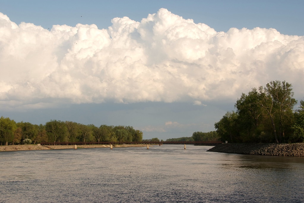
Lake Red Rock
- Boat Ramps
- 8
- Access Points
- 11
- Campsites
- 16
Lake Red Rock, Iowa's largest lake, offers paddlers 15,000 acres of water to explore. Located on the Des Moines River 45 miles southeast of Des Moines, this reservoir features 35,000 acres of surrounding public land. The lake stretches 33 miles long at maximum flood stage.
Paddlers can enjoy the 36-mile Red Rock Water Trail, a loop that can be paddled in full or broken into shorter sections. With 8 access points, the trail accommodates various skill levels, from sheltered coves for beginners to open water with long crossings for more advanced paddlers. The shoreline yields diverse landscapes, including sandstone bluffs, rock formations, and peaceful vistas with spectacular sunrises and sunsets.
Wildlife viewing opportunities abound, with many bird species inhabiting the area. Paddlers may spot fossils along the shore and can try their hand at fishing. The lake's water conditions vary from calm to white-capped, depending on weather and boat traffic.
Several boat ramps and beaches serve as launch points. Campgrounds around the lake offer amenities like showers, electrical hookups, and nearby playgrounds or beaches. Hickory Ridge provides a unique primitive camping experience, accessible only by hiking or paddling.
The lake has historical significance, built over the former frontier town of Red Rock. Paddlers can use GPS to locate submerged abandoned towns. Notable sites include Peace Tree Stump, once a settler and Indian trading post, and Horn's Ferry bridge, the county's first wagon bridge across the Des Moines River.
Nominal fees apply for boat ramp usage. The nearby towns of Knoxville and Pella offer additional accommodations and attractions, enhancing the overall paddling experience at Lake Red Rock.
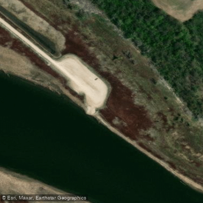
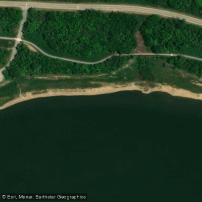
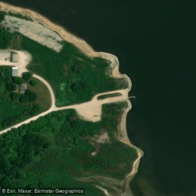
Water access, boat ramps & amenities
Learn how to get on Lake Red Rock. Uncover great paddling access points, boat ramps, and all the facilities you need for an unforgettable day on the water. Some locations shown may border or include private property. Always check property boundaries and applicable regulations before visiting. PaddleWays's Public & Private Land layer can help you plan your access with confidence.
Paddle smarter with real-time insights
Whether you're en route and conditions shift or you're looking for the best spot based on current flows, we enable you to make informed decisions on the fly.








Find Places to Paddle

Over 400,000 Places to Paddle
Every user gets free access to launch points, boat ramps, and public property parcels.


Water and weather conditions (10 day forecast)
See the best times to paddle Lake Red Rock and check the forecast before you go.
No forecast data available.
Paddling near Lake Red Rock
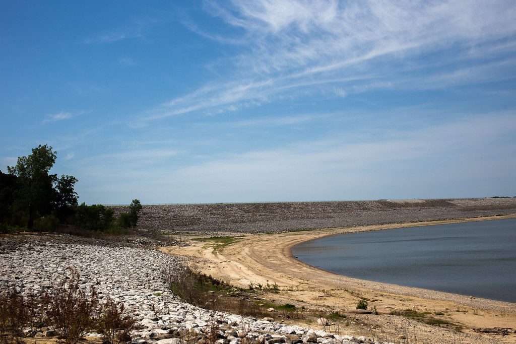
Saylorville Lake
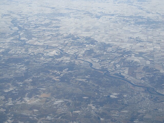
Des Moines River
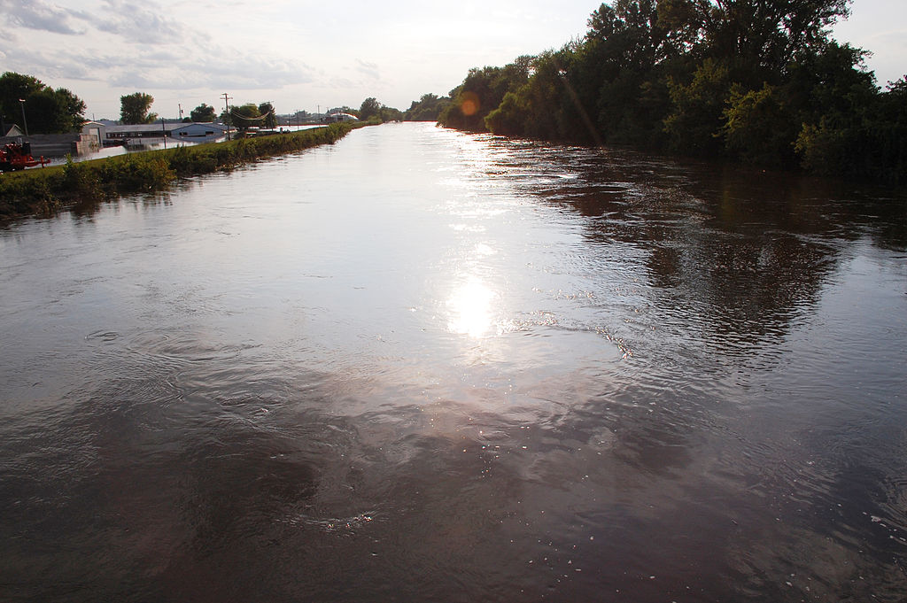
South Skunk River
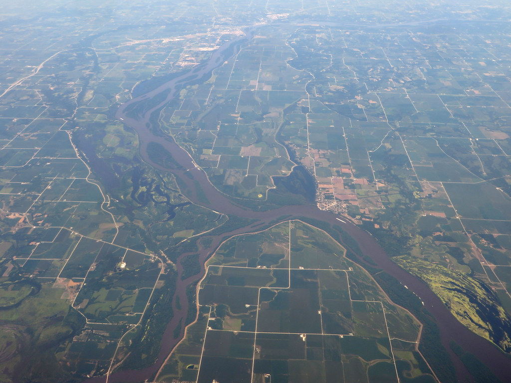
Iowa River
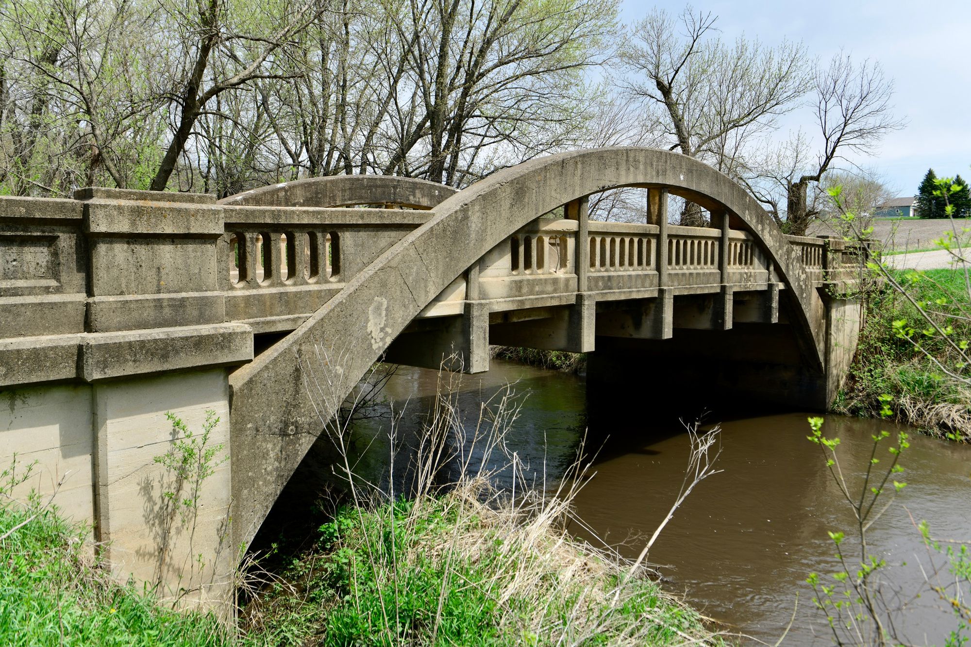
Big Creek
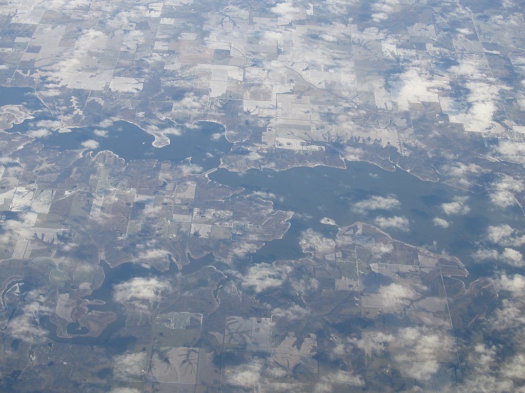
Rathbun Lake
Big Creek Lake
Lake Easter
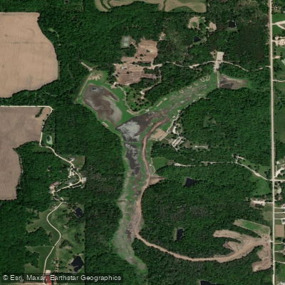
Lake Ahquabi
Explore Iowa waters
Top paddling waters
Popular Cities
Loading popular cities...
Explore near Lake Red Rock
Access points
Nearby waters
More in Iowa

Smarter Paddling Starts in the App.
Paddleways gives you everything you need to plan smarter, paddle better, and own every trip from first launch to takeout.