Raccoon River
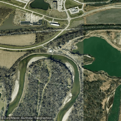
Raccoon River
- Boat Ramps
- 3
- Access Points
- 4
- Campsites
- 1
The Raccoon River is a major waterway in central Iowa, originating in Buena Vista County and flowing southeast for approximately 200 miles before joining the Des Moines River in the city of Des Moines. The river system consists of three main branches - the North, Middle, and South Raccoon Rivers - which converge near Van Meter to form the main stem. Paddling opportunities abound on the Raccoon River system, with over 180 miles of designated water trails. The North Raccoon offers a long stretch suitable for multi-day trips, while the Middle Raccoon from Panora to Redfield is renowned for its scenic beauty as one of Iowa's Protected Water Areas. The South Raccoon provides a more agricultural landscape.
The river's difficulty ranges from flatwater to Class II, making it accessible to paddlers of various skill levels. Most sections feature steady current with occasional riffles and exposed rocks. The Commerce Ledges near Des Moines offer a Class II play spot popular with whitewater enthusiasts. Spring and early summer typically provide the best paddling conditions, with higher water levels. Late summer and fall can be enjoyable but may require more portaging around shallow areas. Winter paddling is possible but requires cold water gear and experience.
The river corridor supports diverse wildlife, including bald eagles, herons, and various fish species. Scenic limestone bluffs, wooded banks, and remnant prairies characterize different stretches. Key access points include Sac City, Jefferson, and Perry on the North Raccoon; Panora and Redfield on the Middle Raccoon; and Redfield and Van Meter where the branches converge. The river passes through or near several state and county parks offering camping and additional recreational opportunities.
Historically, the Raccoon River played a vital role in the settlement and development of central Iowa. Today, it remains an important water source for Des Moines and surrounding communities while offering valuable recreational and natural resources.
Paddlers should be aware of potential hazards such as logjams, especially after high water events. Low-head dams in some towns require portaging. As with all Iowa rivers, life jackets are required, and checking current water levels and conditions is advised before any trip. For those seeking longer adventures, multi-day trips are possible on the North Raccoon and combined Middle/South Raccoon stretches, with numerous access points allowing for customized itineraries.
Water access, boat ramps & amenities
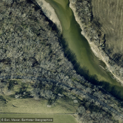
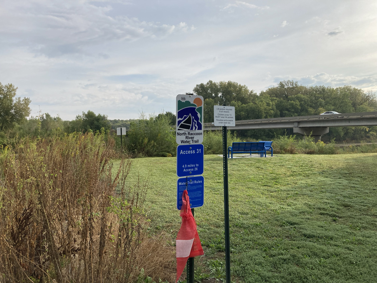
Learn how to get on Raccoon River. Uncover great paddling access points, boat ramps, and all the facilities you need for an unforgettable day on the water. Some locations shown may border or include private property. Always check property boundaries and applicable regulations before visiting. PaddleWays's Public & Private Land layer can help you plan your access with confidence.
Paddle smarter with real-time insights
Whether you're en route and conditions shift or you're looking for the best spot based on current flows, we enable you to make informed decisions on the fly.








Find Places to Paddle

Over 400,000 Places to Paddle
Every user gets free access to launch points, boat ramps, and public property parcels.


Water and weather conditions (10 day forecast)
See the best times to paddle Raccoon River and check the forecast before you go.
Raccoon River near West Des Moines, IA
All Flow Stations
Paddling near Raccoon River
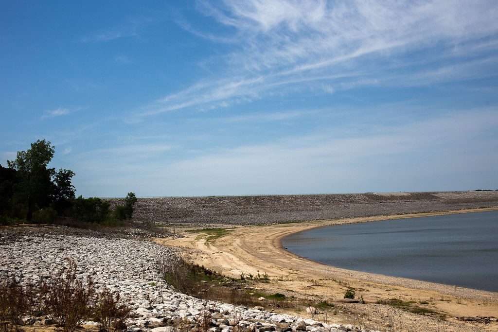
Saylorville Lake
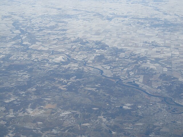
Des Moines River
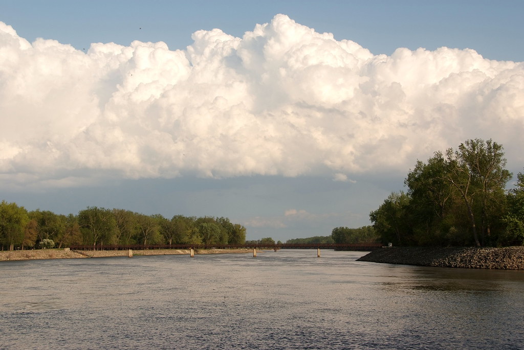
Lake Red Rock
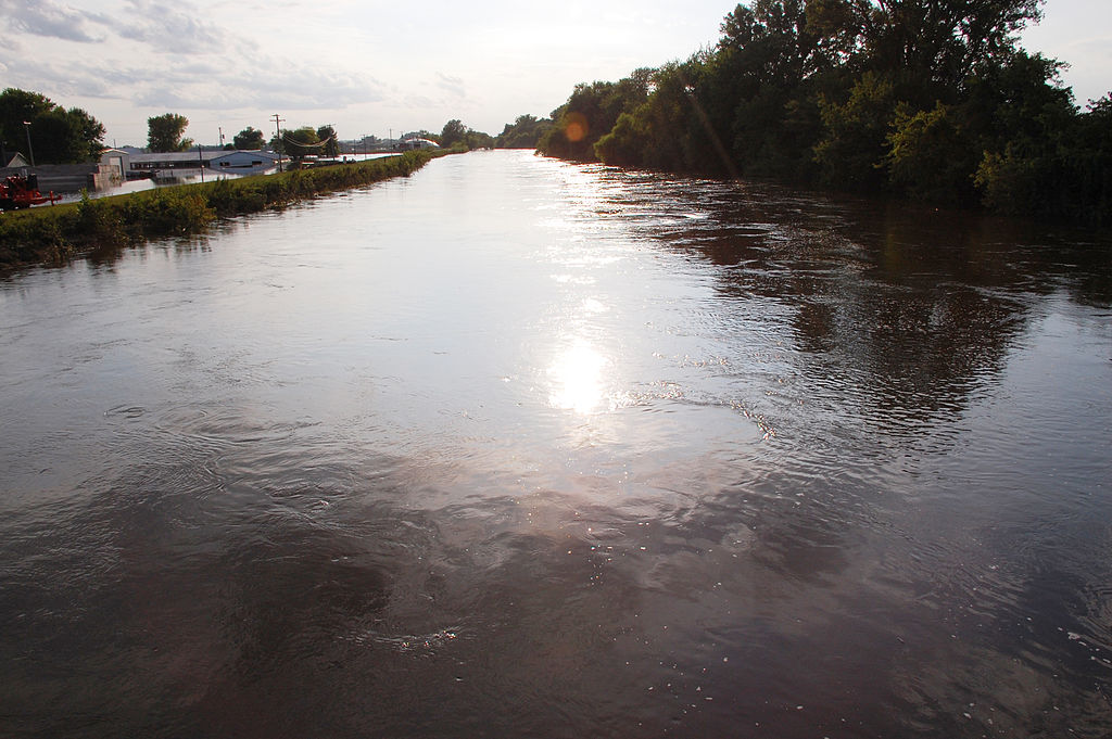
South Skunk River
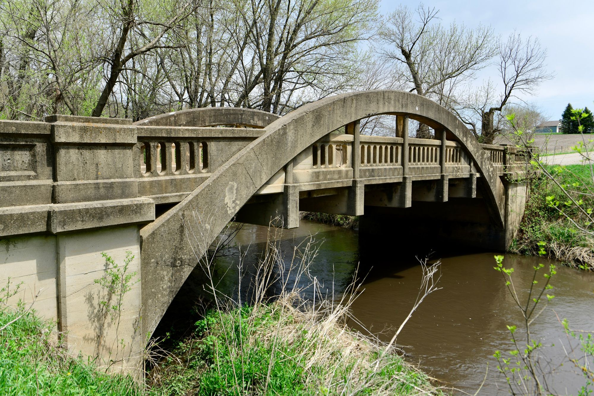
Big Creek
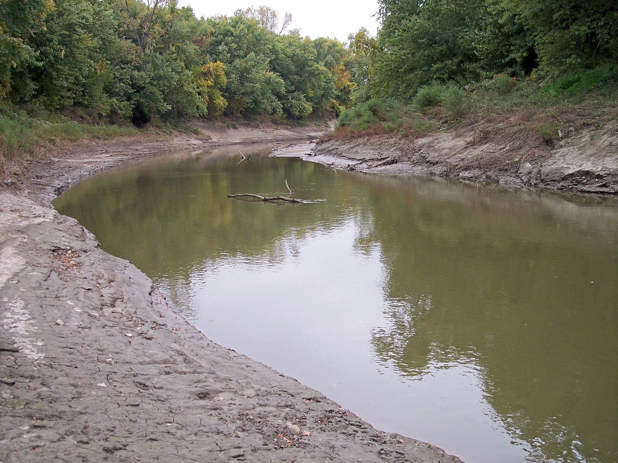
Platte River
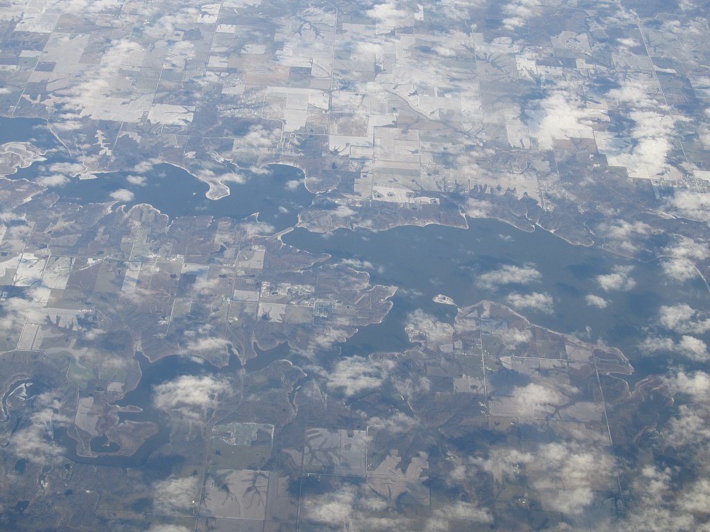
Rathbun Lake
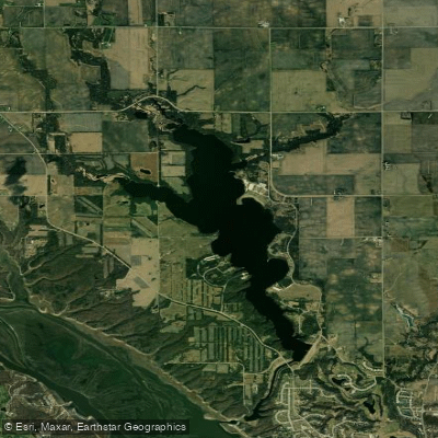
Big Creek Lake
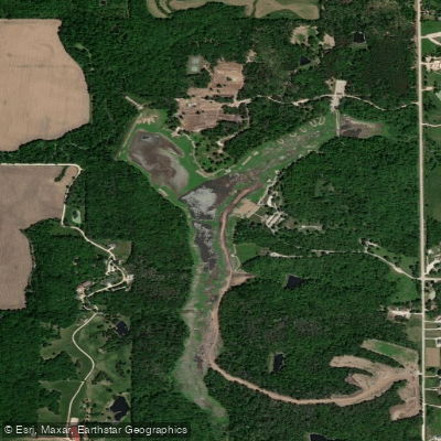
Lake Ahquabi
Explore Iowa waters
Top paddling waters
Popular Cities
Loading popular cities...
Explore near Raccoon River
Access points
Nearby waters
More in Iowa

Smarter Paddling Starts in the App.
Paddleways gives you everything you need to plan smarter, paddle better, and own every trip from first launch to takeout.