Des Moines River
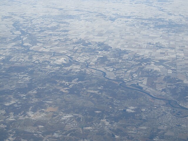
Des Moines River
- Boat Ramps
- 59
- Access Points
- 90
- Campsites
- 77
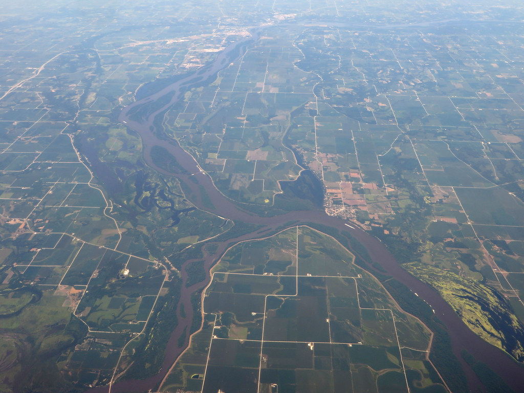
The Des Moines River is a major waterway that flows through Minnesota, Iowa, and Missouri, originating at Lake Shetek in southwestern Minnesota and traveling southeast for 525 miles before joining the Mississippi River near Keokuk, Iowa. As the longest river in Iowa, it forms a vital part of the state's watershed and offers diverse paddling opportunities across its length. The river provides a range of experiences for paddlers, from flatwater sections suitable for beginners to occasional Class I-III rapids that challenge more experienced kayakers and canoeists.
The upper reaches in Minnesota offer a mix of agricultural landscapes and wooded bluffs, with the river ranging from 50 to 200 feet wide. As it flows through Iowa, the Des Moines River passes through a variety of terrains, including limestone cliffs, state parks, and rural areas before reaching more urban environments. Notable paddling sections include the West Des Moines River Minnesota Section, the Van Buren County Water Trail in southeast Iowa, and the Fort Dodge to Saylorville stretch. The Breens Rapids near Fort Dodge offer a short but exciting Class III whitewater experience for skilled paddlers.
Multiple state-designated water trails exist along the river, particularly in Iowa, providing well-maintained access points and interpretive information for paddlers. The best paddling season typically runs from late spring through early fall, with water levels generally most favorable from May to September. However, paddlers should always check current conditions, as the river can be affected by seasonal flooding or low water levels during dry periods.
Wildlife viewing opportunities abound along the river, especially in areas like the Ding Darling Greenway north of Des Moines. Paddlers may encounter a variety of bird species, deer, and other riparian wildlife. The river corridor also supports diverse plant life, transitioning from prairie landscapes to more forested areas as it moves southward. Key landmarks include the High Trestle Trail bridge near Madrid, Dolliver State Park, and various historical sites in the Villages of Van Buren County.
The river played a significant role in the region's development, serving as a transportation route for Native Americans and early settlers. Numerous access points are available along the river's course, with major put-in locations near towns such as Jackson and Windom in Minnesota, and Fort Dodge, Des Moines, and Keosauqua in Iowa. Many sections offer opportunities for day trips, while longer stretches like the 100-mile Fort Dodge to Saylorville section are suitable for multi-day adventures.
Safety considerations include being aware of low-head dams, particularly in urban areas, and watching for occasional motorized boat traffic in wider sections. Paddlers should always wear life jackets and be prepared for changing weather conditions. The Des Moines River offers a rich paddling experience that combines natural beauty, historical significance, and a range of difficulty levels, making it an excellent destination for both novice and experienced paddlers looking to explore the heart of America's Midwest.
Water access, boat ramps & amenities
Learn how to get on Des Moines River. Uncover great paddling access points, boat ramps, and all the facilities you need for an unforgettable day on the water. Some locations shown may border or include private property. Always check property boundaries and applicable regulations before visiting. PaddleWays's Public & Private Land layer can help you plan your access with confidence.
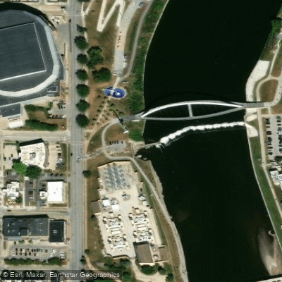
Center Street Dam
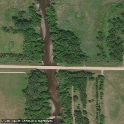
West Fork Wetlands Access
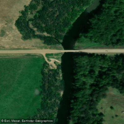
North Trail Head Access
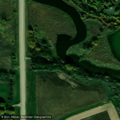
Shetek Lake Access
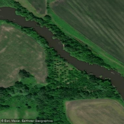
Brushy Bayou Wildlife Area Access
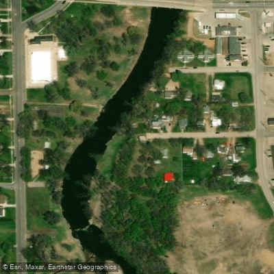
2nd Ave Access
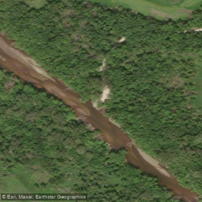
Willows Access
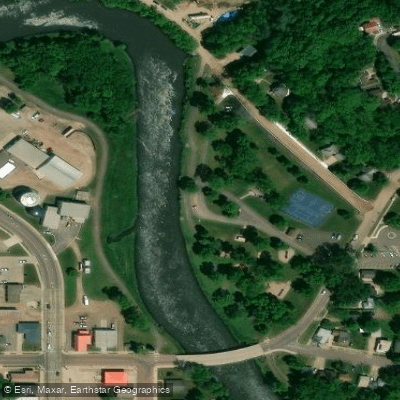
Des Moines River, Ashley Park Public Water Access Site
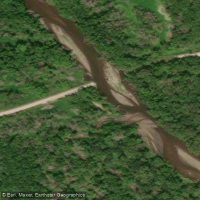
Stearn's Woods Access
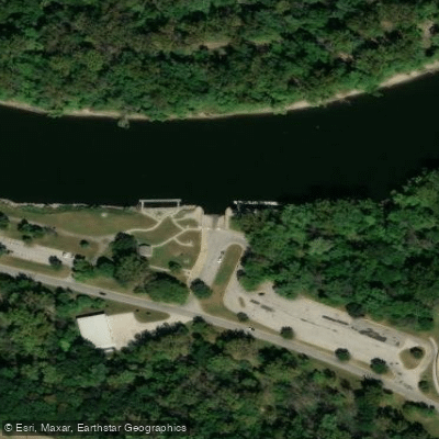
Prospect Park Access
Paddle smarter with real-time insights
Whether you're en route and conditions shift or you're looking for the best spot based on current flows, we enable you to make informed decisions on the fly.








Find Places to Paddle

Over 400,000 Places to Paddle
Every user gets free access to launch points, boat ramps, and public property parcels.


Water and weather conditions (10 day forecast)
See the best times to paddle Des Moines River and check the forecast before you go.
Des Moines River at St. Francisville, MO
All Flow Stations
Paddling near Des Moines River
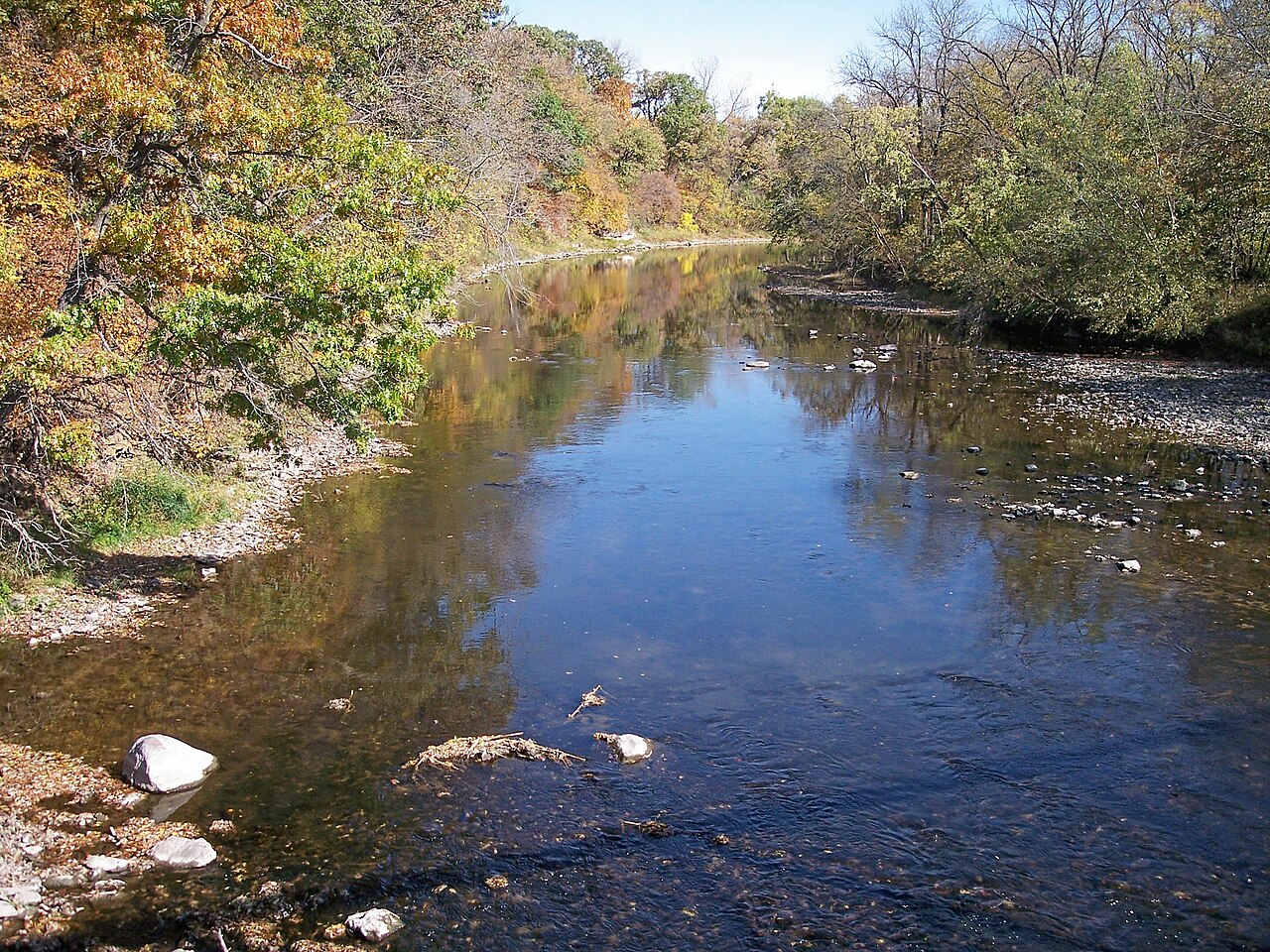
Boone River
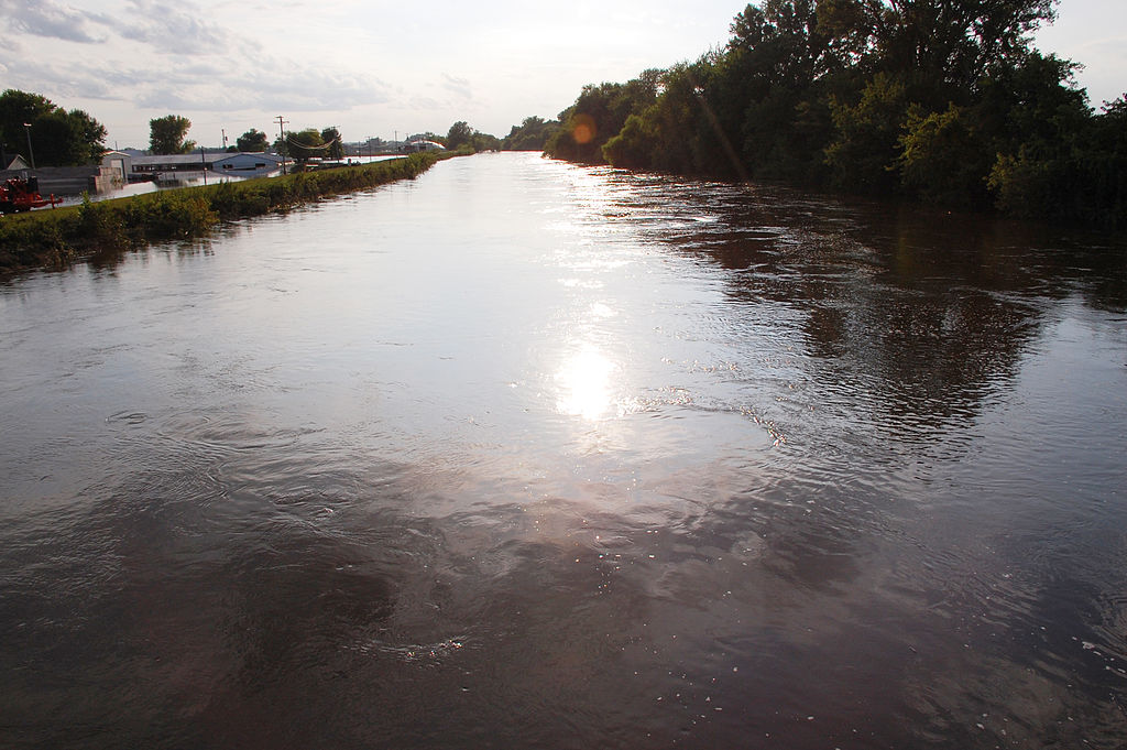
Iowa River
South Skunk River
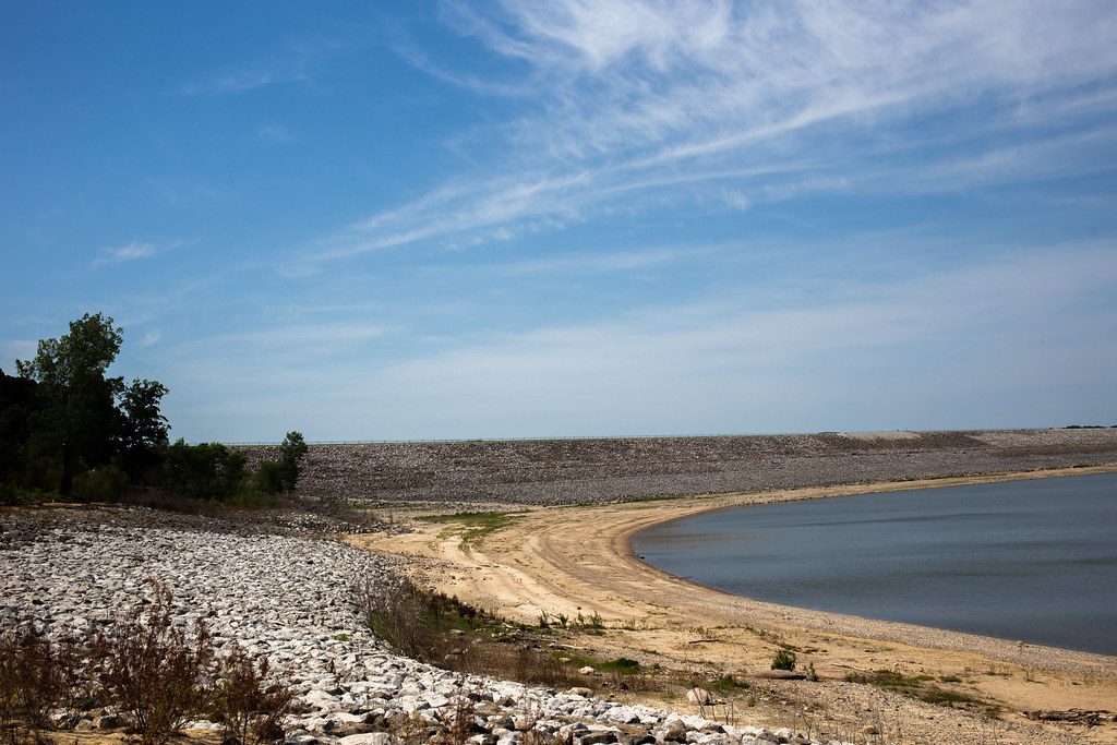
Saylorville Lake
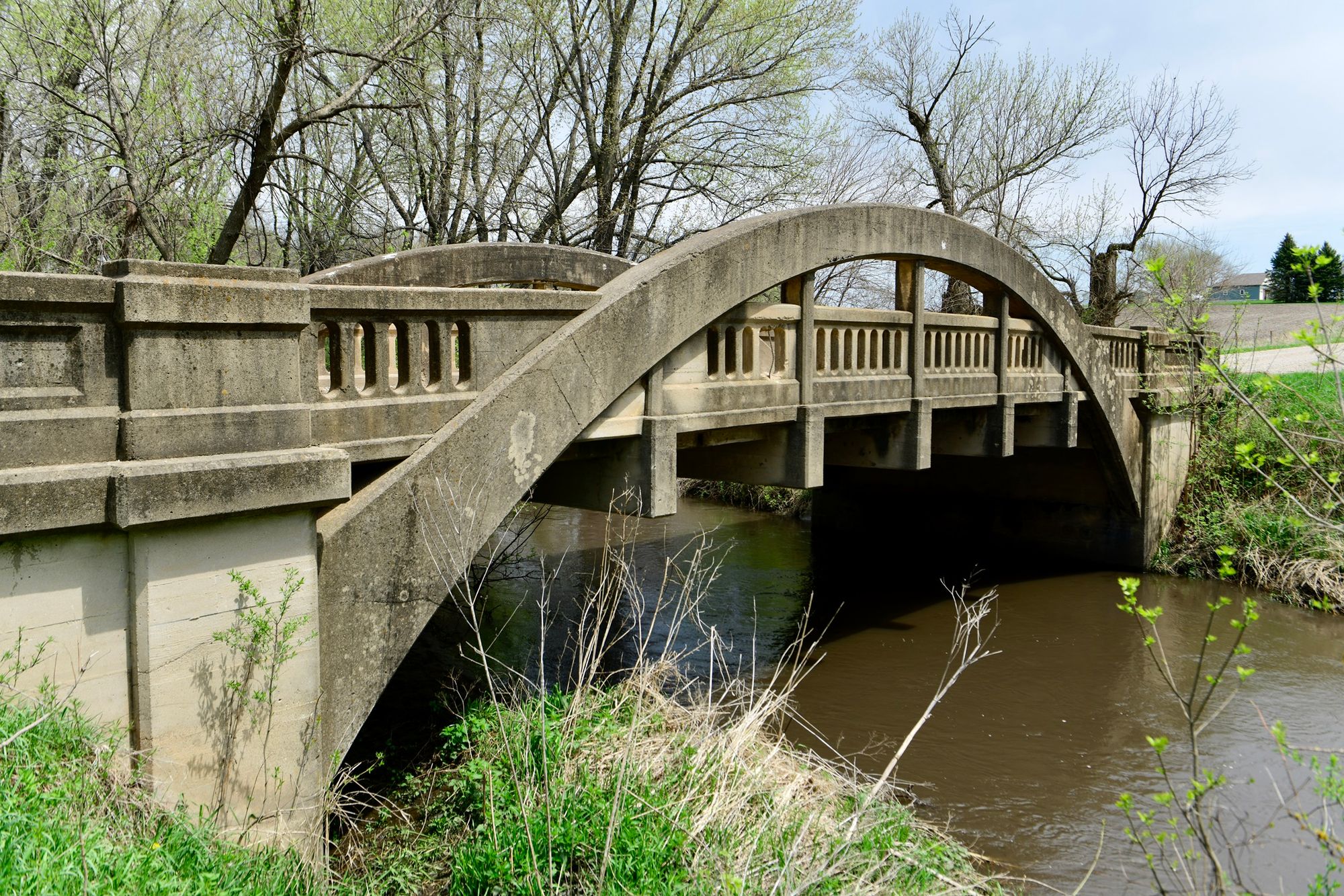
Big Creek
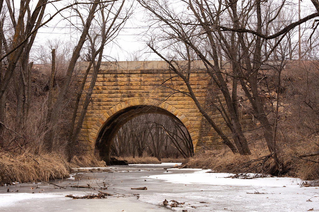
Indian Creek
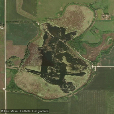
Lizard Lake
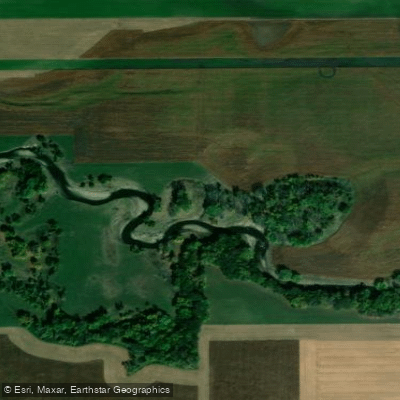
East Fork Des Moines River
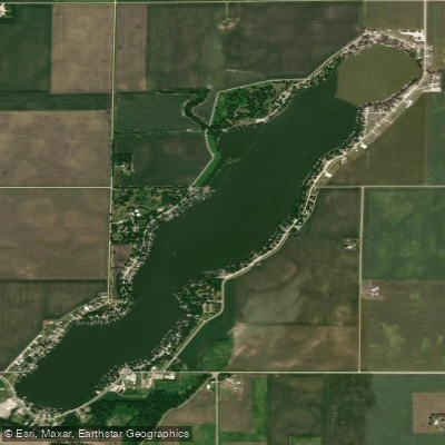
North Twin Lake
Explore Iowa waters
Top paddling waters
Popular Cities
Loading popular cities...
Explore near Des Moines River
Access points
- Des Moines River, Petersburg Public Water Access Site
- Des Moines River Belmon Boat Ramp
- Peterson Boat Ramp
- Boat Ramp
- Frank A Gotch Park Boat Ramp
- Des Moines River Dam Boat Ramp
- Graettinger Boat Ramp
- Frank A Gotch Park Boat Ramp
- 4th Street Bridge Boat Ramp
- Lower Dam Boat Ramp
- Lower Dam Boat Ramp
- Waterwork Boat Ramp
- All 642 spots
Nearby waters
More in Iowa

Smarter Paddling Starts in the App.
Paddleways gives you everything you need to plan smarter, paddle better, and own every trip from first launch to takeout.