Caney River
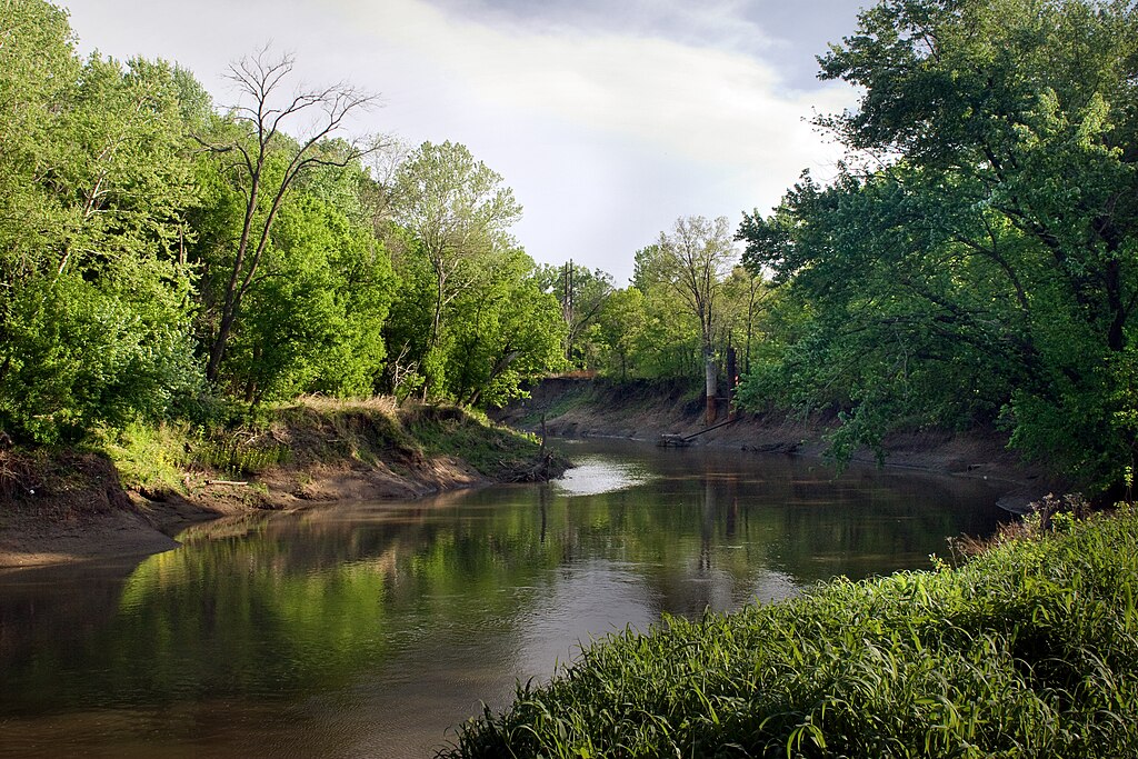
Caney River
- Boat Ramps
- 1
- Access Points
- 5
- Campsites
- 1
The Caney River is a 180-mile long waterway that originates in Elk County, Kansas and flows southeast into northeastern Oklahoma before joining the Verdigris River. Its main tributary is the Little Caney River, which feeds into Copan Lake. The Caney River itself is impounded by Hulah Lake near Bowring, Oklahoma.
Paddling opportunities on the Caney River range from flatwater lake paddling to scenic river trips. The river offers mostly calm flatwater paddling suitable for beginners, with some sections having a faster current. Popular paddling sections include: - Copan Lake to Little Caney River confluence (2 miles) - Hulah Lake to Wah-Sha-She State Park (2 miles) - Wah-Sha-She to Bartlesville (15.5 miles) - Bartlesville to Collinsville (30.5 miles) - Collinsville to Verdigris River confluence (9.5 miles)
The river is best paddled in spring and early summer when water levels are higher. Late summer through fall can have low water conditions in some areas. The surrounding landscape features prairie grasslands, croplands, and wooded areas along the banks. Key access points include Wah-Sha-She State Park below Hulah Dam, US Highway 60 in Bartlesville, and the US Highway 169 bridge near Collinsville. The river passes through or near the towns of Copan, Dewey, Bartlesville, Ramona, and Collinsville.
Paddlers should be aware of varying water levels, especially below the dams. Copan and Hulah lakes can affect downstream flows. There are no major rapids, but strainers and log jams may be present. Multi-day trips are possible by camping at access points along the river.
The Caney River played an important role in the early oil industry of the region, with several historic oil boom towns located along its banks. Today it offers a peaceful paddling experience through the scenic Oklahoma countryside, with opportunities to view wildlife and explore the natural and cultural heritage of the area.
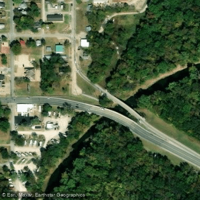
Water access, boat ramps & amenities
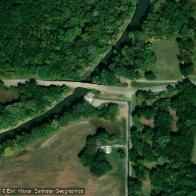
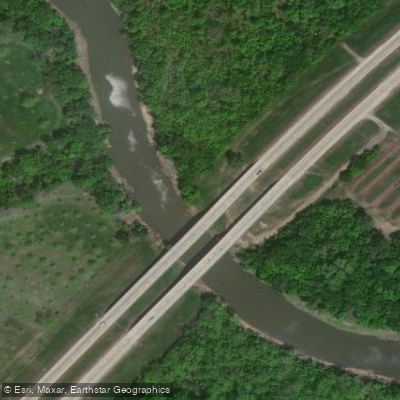
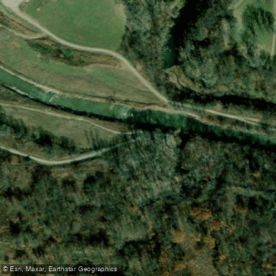
Learn how to get on Caney River. Uncover great paddling access points, boat ramps, and all the facilities you need for an unforgettable day on the water. Some locations shown may border or include private property. Always check property boundaries and applicable regulations before visiting. PaddleWays's Public & Private Land layer can help you plan your access with confidence.
Paddle smarter with real-time insights
Whether you're en route and conditions shift or you're looking for the best spot based on current flows, we enable you to make informed decisions on the fly.








Find Places to Paddle

Over 400,000 Places to Paddle
Every user gets free access to launch points, boat ramps, and public property parcels.


Water and weather conditions (10 day forecast)
See the best times to paddle Caney River and check the forecast before you go.
Caney River above Coon Creek at Bartlesville, OK
All Flow Stations
Paddling near Caney River
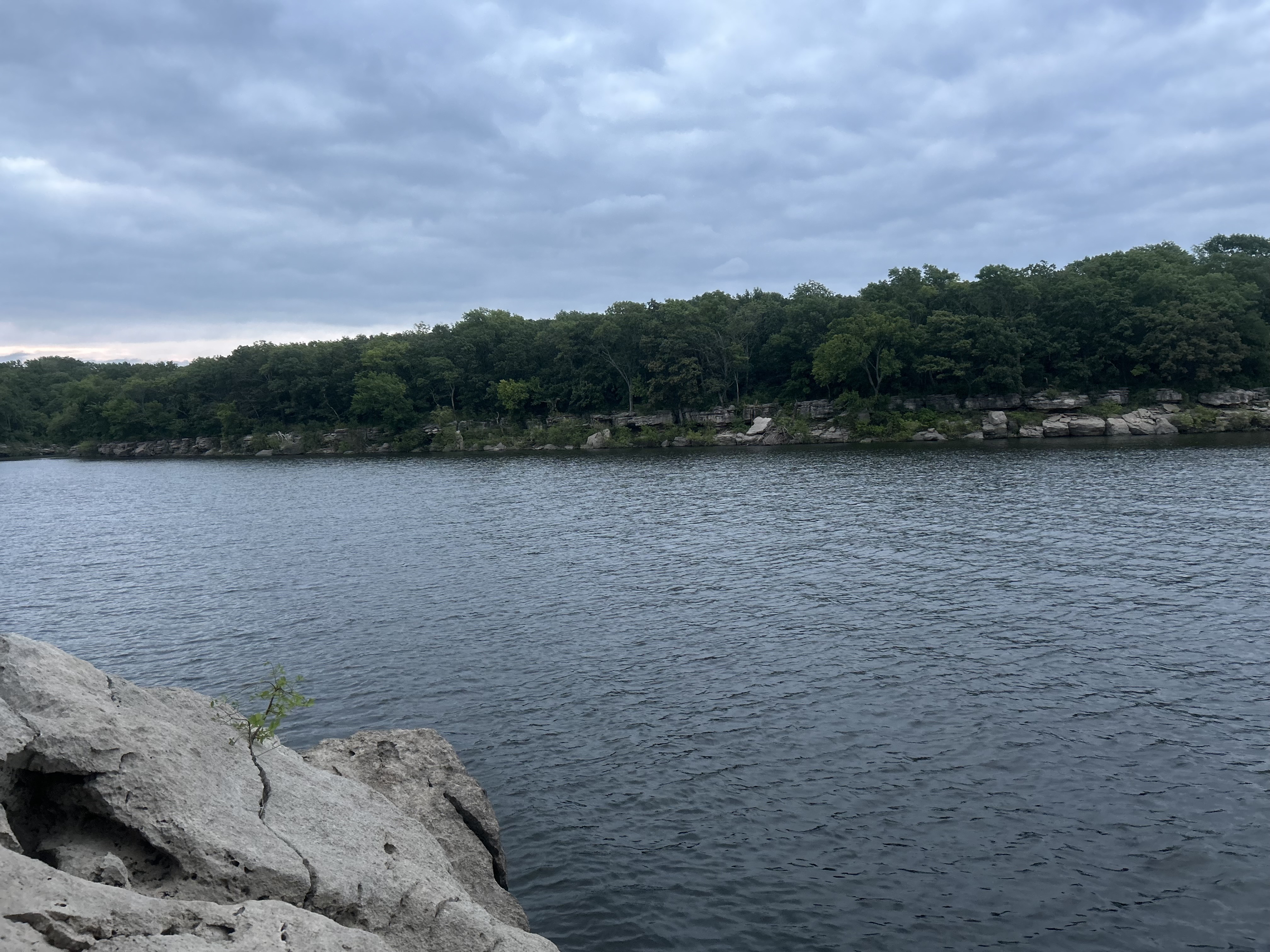
Oologah Lake
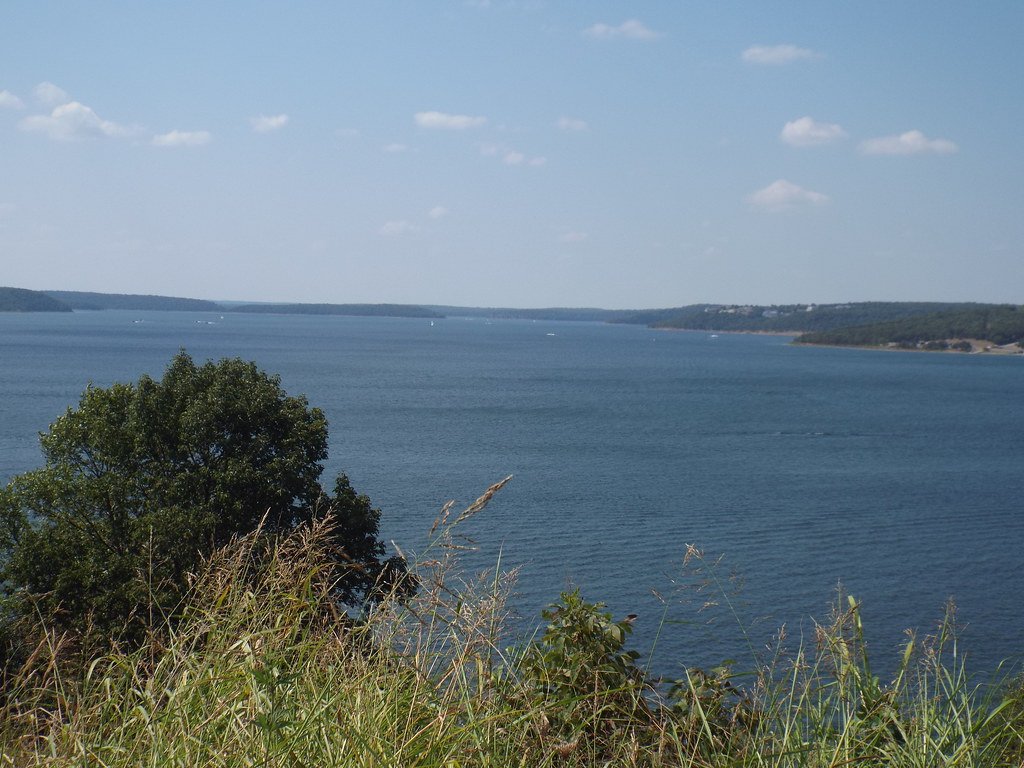
Skiatook Lake
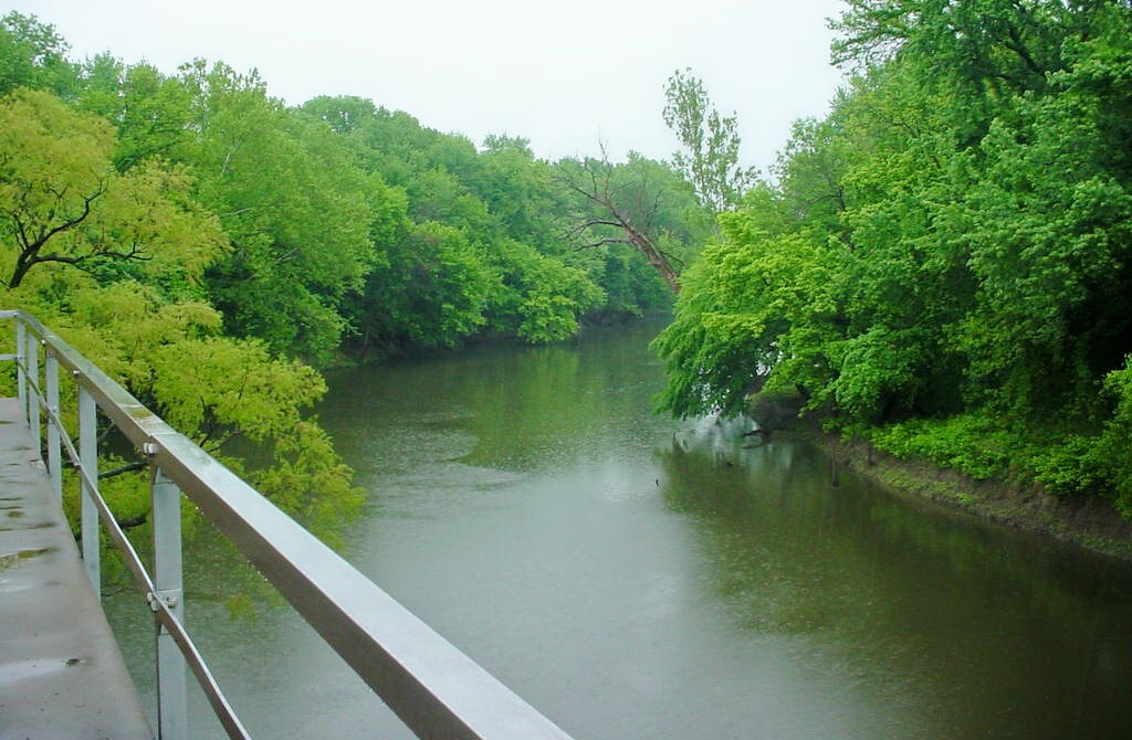
Verdigris River
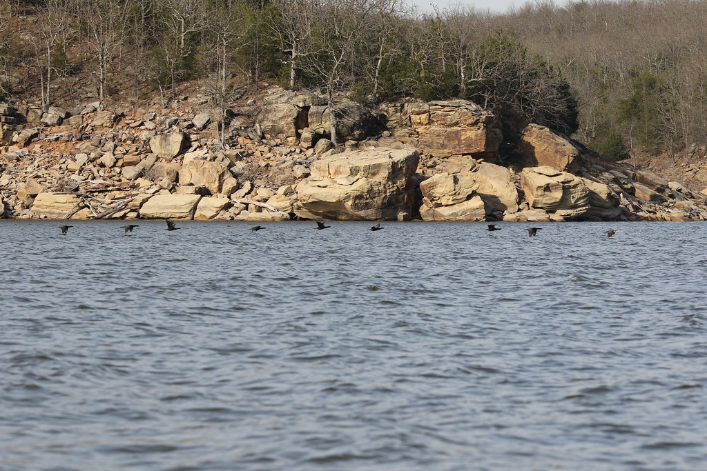
Keystone Lake

Arkansas River
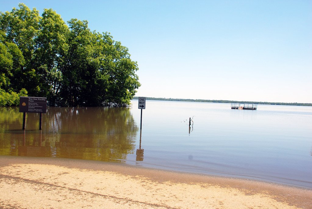
Kaw Lake
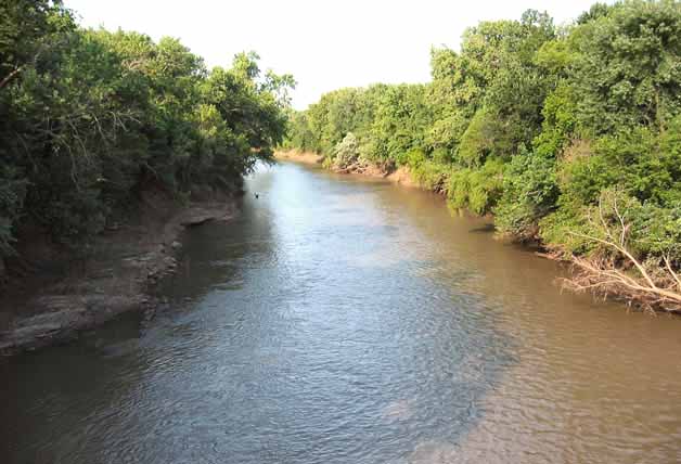
Neosho River
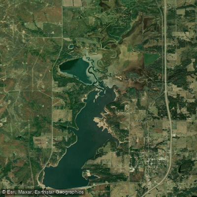
Copan Lake
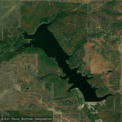
Lake Hudson
Explore Kansas waters
Top paddling waters
Popular Cities
Loading popular cities...
Explore near Caney River
Access points
Nearby waters
More in Kansas

Smarter Paddling Starts in the App.
Paddleways gives you everything you need to plan smarter, paddle better, and own every trip from first launch to takeout.