South Fork Solomon River
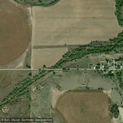
South Fork Solomon River
- Boat Ramps
- 0
- Access Points
- 1
- Campsites
- 1
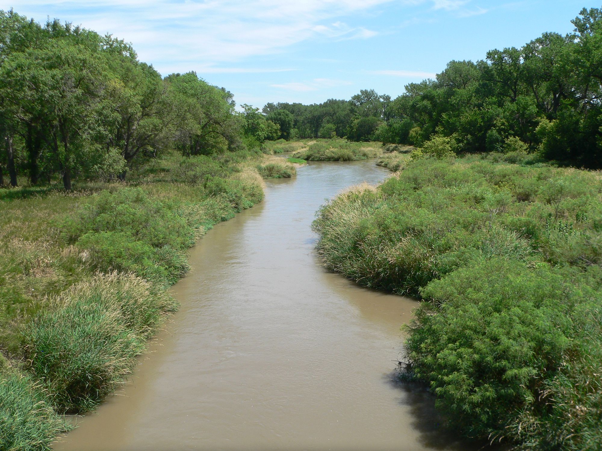
The South Fork Solomon River is a significant waterway in north-central Kansas, originating in Sherman County and flowing eastward through Thomas, Sheridan, and Graham counties. This prairie river travels roughly 80 miles before joining the North Fork Solomon River to form the main stem of the Solomon River, a tributary of the Smoky Hill River in the Kansas River basin. The river's course follows a generally eastward direction, roughly paralleling U.S. Highway 24 for much of its length. Webster Reservoir, created by a dam on the river, is a major feature that divides the river into two distinct sections. Above the reservoir, the river flows through a mix of agricultural lands and native grasslands characteristic of the High Plains region.
Paddling opportunities on the South Fork Solomon are limited due to its typically low flow rates, with a median flow of only 9.4 cubic feet per second (cfs) recorded above Webster Reservoir. The river is primarily classified as flatwater, suitable for calm water kayaking or canoeing when water levels permit. The section from Webster Reservoir to the confluence with the North Fork offers the best potential for paddling, though flow rates can vary significantly with seasonal rainfall and reservoir releases. While not known for whitewater, the South Fork Solomon is notable for its fishing opportunities, particularly in and around Webster Reservoir.
The upper section of the river, from near Damar to Webster Reservoir, is classified as a Type 2 trout water. The Kansas Department of Wildlife and Parks stocks this stretch with rainbow trout, typically between late January and early March, providing a unique cold-water fishing experience in the region. Access points for the river are limited but include areas near Damar and at Webster Reservoir. The towns of Stockton and Osborne are the nearest population centers to the lower reaches of the river. Paddlers and anglers should be aware of private property along much of the river's course and obtain necessary permissions for access.
The river valley supports a variety of wildlife, including deer, turkey, and various bird species. The surrounding landscape is primarily mixed-grass prairie and agricultural land, offering glimpses of the native ecosystems of the central plains. Water quality in the South Fork Solomon is monitored, with particular attention paid to selenium levels in Webster Reservoir. Historical data shows that selenium concentrations have remained below water quality standards since at least 1986, indicating a generally healthy aquatic environment.
For those considering a visit to the South Fork Solomon River, it's essential to check current flow conditions and fishing regulations. The best times for paddling are typically in late spring and early summer when water levels are higher. Trout fishing is popular from October through April, with special permit requirements in place during this season. While not as renowned as some of Kansas's larger rivers, the South Fork Solomon plays a vital role in the region's ecology and offers unique recreational opportunities for those willing to explore its quiet waters and surrounding prairie landscapes.
Water access, boat ramps & amenities
Learn how to get on South Fork Solomon River. Uncover great paddling access points, boat ramps, and all the facilities you need for an unforgettable day on the water. Some locations shown may border or include private property. Always check property boundaries and applicable regulations before visiting. PaddleWays's Public & Private Land layer can help you plan your access with confidence.
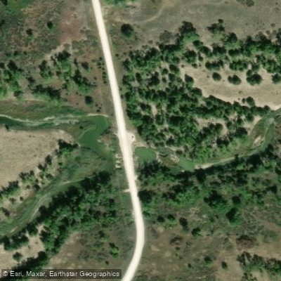
Paddle smarter with real-time insights
Whether you're en route and conditions shift or you're looking for the best spot based on current flows, we enable you to make informed decisions on the fly.








Find Places to Paddle

Over 400,000 Places to Paddle
Every user gets free access to launch points, boat ramps, and public property parcels.


Water and weather conditions (10 day forecast)
See the best times to paddle South Fork Solomon River and check the forecast before you go.
SF SOLOMON R AB WEBSTER RE, KS
All Flow Stations
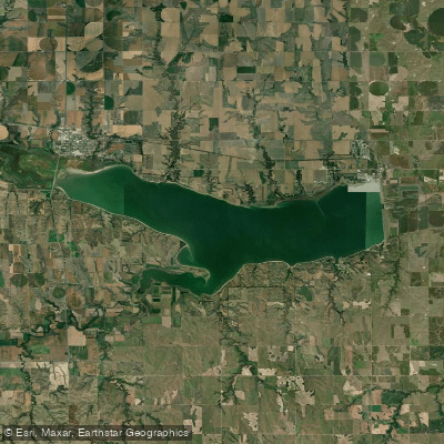
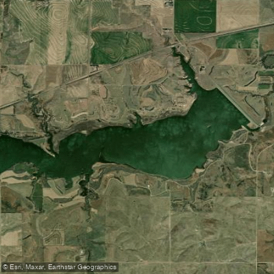
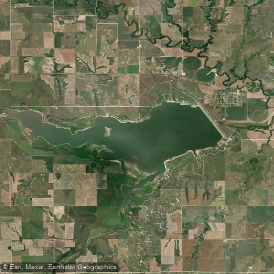
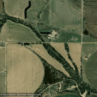
Explore Kansas waters
Top paddling waters
Popular Cities
Loading popular cities...
Explore near South Fork Solomon River
Access points
- 11 Road Hand Launch
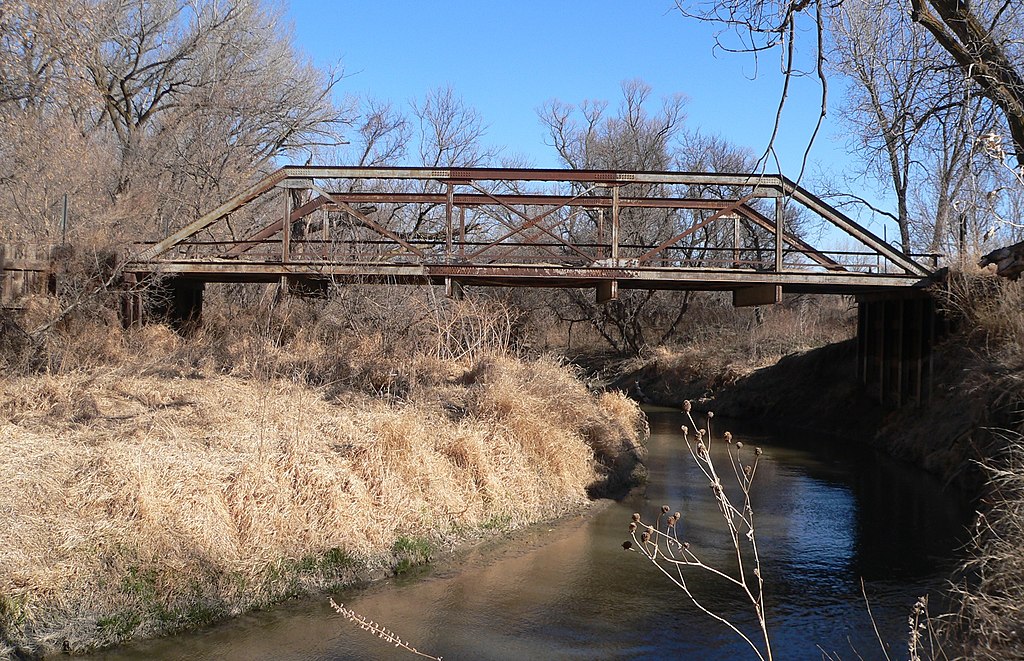
- South Fork Solomon River Bridge
- South Fork Solomon River Bridge
- South Fork Solomon River Bridge
- S. Fork Solomon River Bridge
- South Fork Solomon River Bridge
- South Fork Solomon River Bridge
- South Fork Solomon River Bridge
- S. Fork Solomon River Bridge
- South Fork Solomon River Bridge
- S. Fork Solomon River Bridge
- South Fork Solomon River Bridge
- All 146 spots
Nearby waters
More in Kansas

Smarter Paddling Starts in the App.
Paddleways gives you everything you need to plan smarter, paddle better, and own every trip from first launch to takeout.