Curated by PaddleWays
RouteFlatwater
- Distance
- 0.8 mi
- Paddle time
- ~0.5 hrs
- Put-in → take-out
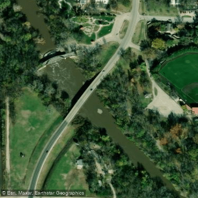
- Peter Pan Access → Highway 99 Access
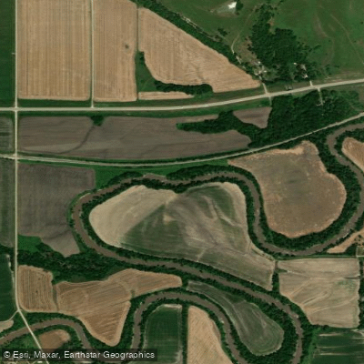
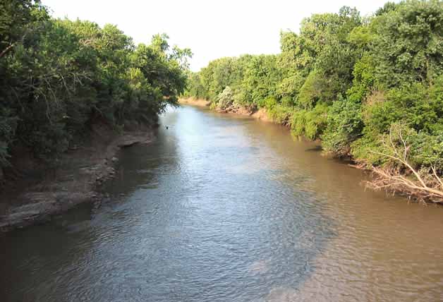
The Cottonwood River is a scenic waterway that flows through south-central Minnesota, offering paddlers a diverse and enjoyable experience.
This 58-mile stretch begins in the city of Springfield and meanders through the Minnesota countryside before emptying into the Minnesota River near New Ulm.
The river is characterized by its gentle flow and numerous riffles, making it an excellent choice for beginner to intermediate paddlers.
The most popular section runs from Springfield to New Ulm, providing a mix of easy flatwater paddling and occasional Class I-II rapids that add a touch of excitement without being overly challenging.
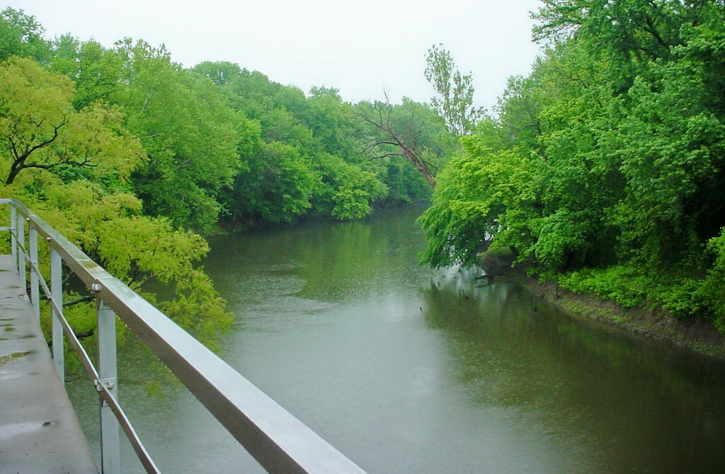
Paddlers on the Cottonwood River are treated to a picturesque journey through a beautiful floodplain forest. The riverbanks are lined with a canopy of cottonwoods, maples, basswood, and hackberry trees, creating a serene and shaded environment.
This lush corridor provides habitat for diverse wildlife, offering excellent opportunities for nature observation and bird watching.
The best time to paddle the Cottonwood River is typically from late spring through early fall when water levels are most favorable.
However, it's always wise to check current conditions, as spring snowmelt can lead to higher, faster water, while late summer may occasionally see lower water levels. Several access points along the river make it easy to plan trips of varying lengths.
Popular put-in locations include Sanborn Soldiers & Sailors City Park in Sanborn and Springfield Riverside Park.
These towns, along with New Ulm, serve as convenient bases for river trips, offering amenities and historical attractions for paddlers to explore before or after their journey.
For those seeking a multi-day adventure, the full 58-mile route from Springfield to New Ulm can be completed in 2-3 days, with several primitive camping options available along the way.
This longer trip allows paddlers to fully immerse themselves in the river's tranquil beauty and potentially spot wildlife such as deer, turkeys, and various bird species.
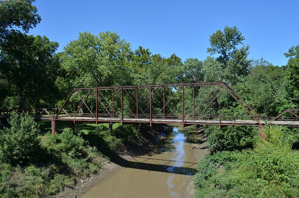
While the Cottonwood River is generally considered safe for paddling, it's important to be aware of potential hazards such as submerged logs or branches, especially after high water events.
Wearing a life jacket is always recommended, and paddlers should be prepared for changing weather conditions.
The river holds cultural significance as part of the broader Minnesota River Valley, an area rich in Native American history and early European settlement.
As you paddle, you'll be traversing the same waters that once served as important transportation and trade routes for indigenous peoples and early settlers.
Whether you're looking for a peaceful day trip or a longer paddling adventure, the Cottonwood River offers a delightful blend of natural beauty, gentle rapids, and rich history, making it a hidden gem among Minnesota's paddling destinations.
Curated routes
Hand-picked by the PaddleWays team, with put-ins, take-outs, paddle times and the hazards along the way.
RouteFlatwater
RouteFlatwater
Hazards
No hazards are marked on Cottonwood River yet. That is not the same as none being there: if you find one, report it for the next paddler.
From the community
Nobody has shared a trip on Cottonwood River yet. Paddle it, then tell the next paddler how it went.
See exactly where the public can get on and off the river. Launch points and boat ramps are paired with PaddleWays' public land data so you know where you can legally land.
Public shoreline
0%of the river's shoreline is public
Most of the riverbank is private. Launch, land and camp only at public access points.
Flows, weather and a route-by-route verdict, so you know which stretch of the Cottonwood River is worth paddling today.
All Flow Stations
Live flows, marked hazards and fresh trip reports from paddlers who were just on the water, all in one place.





Every user gets free access to launch points, boat ramps, and public property parcels.

Loading popular cities...
PaddleWays gives you everything you need to plan smarter, paddle better, and own every trip from first launch to takeout.