Little Salt Marsh
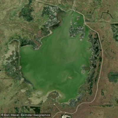
Little Salt Marsh
- Boat Ramps
- 0
- Access Points
- 0
- Campsites
- 0
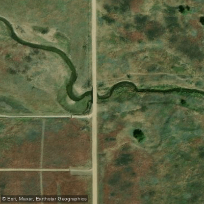
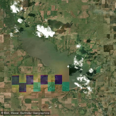
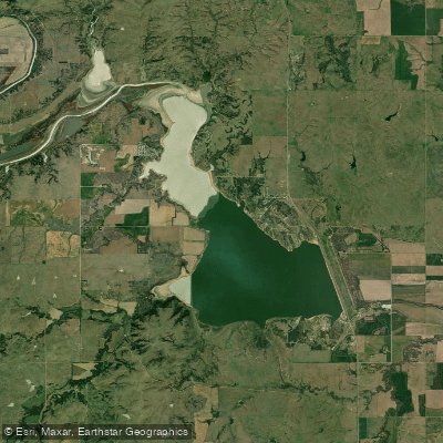
Little Salt Marsh is part of Quivira National Wildlife Refuge in south central Kansas. This shallow inland salt marsh covers approximately 1,500 acres and is one of two major water bodies in the refuge. Water inflow comes from Rattlesnake Creek, which enters from the southwest and exits to the northeast. The marsh features a mosaic of pools, potholes, and hummocks, creating diverse wetland habitats.
Wildlife viewing opportunities abound at Little Salt Marsh. Migratory birds are particularly abundant, with over 300 species recorded. Spring and fall are peak seasons for observing shorebirds, waterfowl, and other migrants. Notable species include snow geese, whooping cranes, and various plovers and avocets. Bald eagles frequent the area in winter.
A wildlife observation tower is located on the south side of Little Salt Marsh, providing an elevated vantage point for birdwatching and photography. Two photography blinds are also available. A 14-mile auto tour route loops around the marsh, allowing for wildlife viewing from your vehicle.
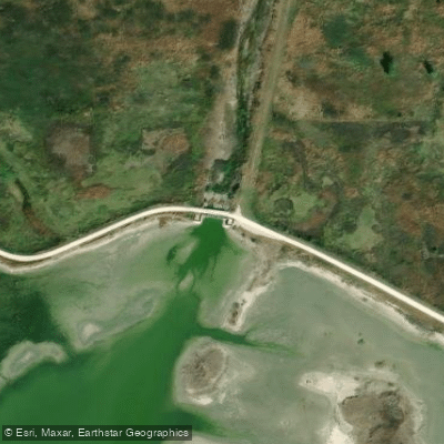
Paddling is prohibited on Little Salt Marsh from April 15 to August 15 to protect nesting birds. Outside this period, paddlers should be aware that the marsh is very shallow, with high salt levels. Water control structures and levees are present along the northern edge of the marsh.
The refuge is open from 1.5 hours before sunrise to 1.5 hours after sunset. Visitor amenities include a nature trail with an elevated boardwalk across part of the marsh. Information kiosks are located throughout the refuge. The unique salt marsh ecosystem and abundant birdlife make Little Salt Marsh a distinctive paddling destination when watercraft are permitted.
Water access, boat ramps & amenities
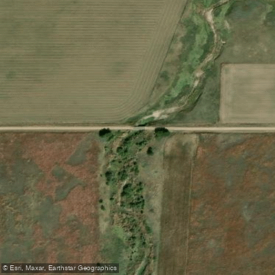
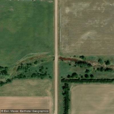
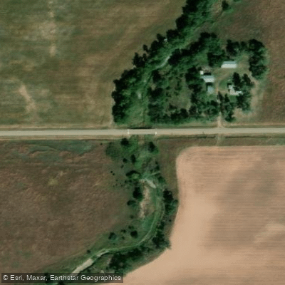
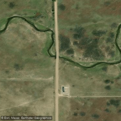
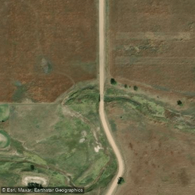
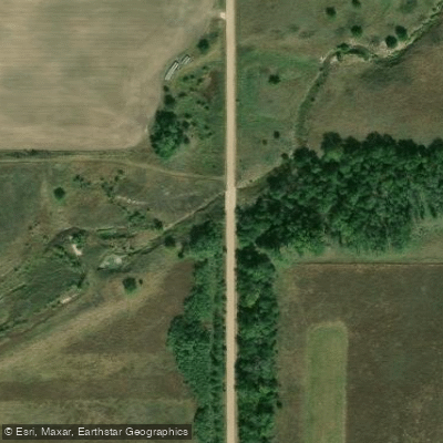
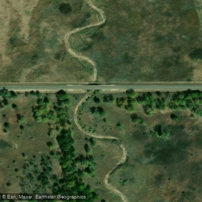
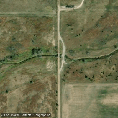
Learn how to get on Little Salt Marsh. Uncover great paddling access points, boat ramps, and all the facilities you need for an unforgettable day on the water. Some locations shown may border or include private property. Always check property boundaries and applicable regulations before visiting. PaddleWays's Public & Private Land layer can help you plan your access with confidence.
Paddle smarter with real-time insights
Whether you're en route and conditions shift or you're looking for the best spot based on current flows, we enable you to make informed decisions on the fly.








Find Places to Paddle

Over 400,000 Places to Paddle
Every user gets free access to launch points, boat ramps, and public property parcels.


Water and weather conditions (10 day forecast)
See the best times to paddle Little Salt Marsh and check the forecast before you go.
No forecast data available.
Paddling near Little Salt Marsh

Explore Kansas waters
Top paddling waters
Popular Cities
Loading popular cities...
Explore near Little Salt Marsh
Access points
Nearby waters
More in Kansas

Smarter Paddling Starts in the App.
Paddleways gives you everything you need to plan smarter, paddle better, and own every trip from first launch to takeout.