South Fork Ninnescah River
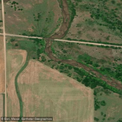
South Fork Ninnescah River
- Boat Ramps
- 0
- Access Points
- 0
- Campsites
- 0
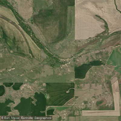
The South Fork Ninnescah River flows entirely within Kansas, originating in the High Plains region of west-central Pratt County approximately 2 miles southwest of Cullison at an elevation of 2,071 feet. From its source, the river courses generally eastward through Pratt and Kingman Counties, transitioning from the High Plains into the Wellington Lowlands before reaching its confluence with the North Fork Ninnescah River in southwestern Sedgwick County to form the main Ninnescah River.
This south-central Kansas waterway presents a distinctive physical character—clear, shallow, and wide with a sandy substrate. The river's morphology allows sunlight to penetrate easily, creating conditions that support significant phytoplankton growth during warm months. The consistent low flow and stable aquatic environment contribute to its clear appearance, though this same characteristic results in naturally elevated pH levels during photosynthesis periods, particularly in the Kingman County stretch.
Paddling opportunities on the South Fork Ninnescah are limited but present in specific locations. Flatwater conditions characterize the available sections, including a run near Pratt from the Cullison area to Lemon Park, and another section south of Kingman State Fishing Lake off U.S. Highway 54. Public access remains restricted compared to Kansas's major rivers—the Arkansas, Kansas, and Missouri—with most riverbanks and bottoms under private ownership. Paddlers must remain in their watercraft when passing through private property, as only the water itself is considered public.
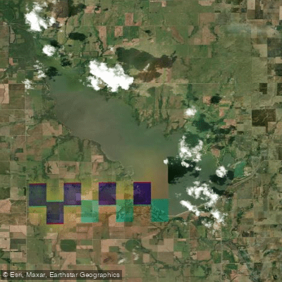
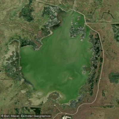
Kingman State Fishing Lake, a 144-acre impoundment constructed in 1933, sits along the South Fork seven miles west of Kingman. The area was originally known as Callahan Marsh, and locals once envisioned a much larger 1,200-acre reservoir called Lake Ninnescah. The river through this area and the Byron Walker Wildlife Area offers fishing opportunities for channel catfish and flathead catfish, along with waterfowl hunting access.
The river passes through relatively remote agricultural landscapes, with the nearest communities including Cullison, Pratt, Cunningham, and Kingman providing access points. Lemon Park in Pratt serves as a developed access location. The South Fork's tributaries include Coon Creek, Sand Creek, Negro Creek, Hunter Creek, Painter Creek, and others draining the surrounding watershed.
Water availability remains variable, and unlike some Kansas rivers with commercial outfitters, the South Fork lacks established rental services or shuttle operations specifically serving this waterway. Paddlers should verify current flow conditions before attempting trips, as the shallow nature of the river makes it susceptible to low water levels during dry periods.
Water access, boat ramps & amenities
Learn how to get on South Fork Ninnescah River. Uncover great paddling access points, boat ramps, and all the facilities you need for an unforgettable day on the water. Some locations shown may border or include private property. Always check property boundaries and applicable regulations before visiting. PaddleWays's Public & Private Land layer can help you plan your access with confidence.
Paddle smarter with real-time insights
Whether you're en route and conditions shift or you're looking for the best spot based on current flows, we enable you to make informed decisions on the fly.








Find Places to Paddle

Over 400,000 Places to Paddle
Every user gets free access to launch points, boat ramps, and public property parcels.


Water and weather conditions (10 day forecast)
See the best times to paddle South Fork Ninnescah River and check the forecast before you go.
SF NINNESCAH R NR PRATT, KS
All Flow Stations
Paddling near South Fork Ninnescah River

Explore Kansas waters
Top paddling waters
Popular Cities
Loading popular cities...
Explore near South Fork Ninnescah River
Access points
- S. Fork Ninnescah River Bridge
- S F Ninnescah Riv Bridge
- S. Fork Ninnescah River Bridge
- S. Fork Ninnescah River Bridge
- S. Fk. Ninnescah River Bridge
- South Fk Ninnescah River Bridge
- S. Fork Ninnescah River Bridge
- S. Fork Ninnescah River Bridge
- S. Fork Ninnescah River Bridge
- S. Fk. Ninnescah River Bridge
- S. Fork Ninnescah River Bridge
- S. Fork Ninnescah River Bridge
- All 110 spots
Nearby waters
More in Kansas

Smarter Paddling Starts in the App.
Paddleways gives you everything you need to plan smarter, paddle better, and own every trip from first launch to takeout.