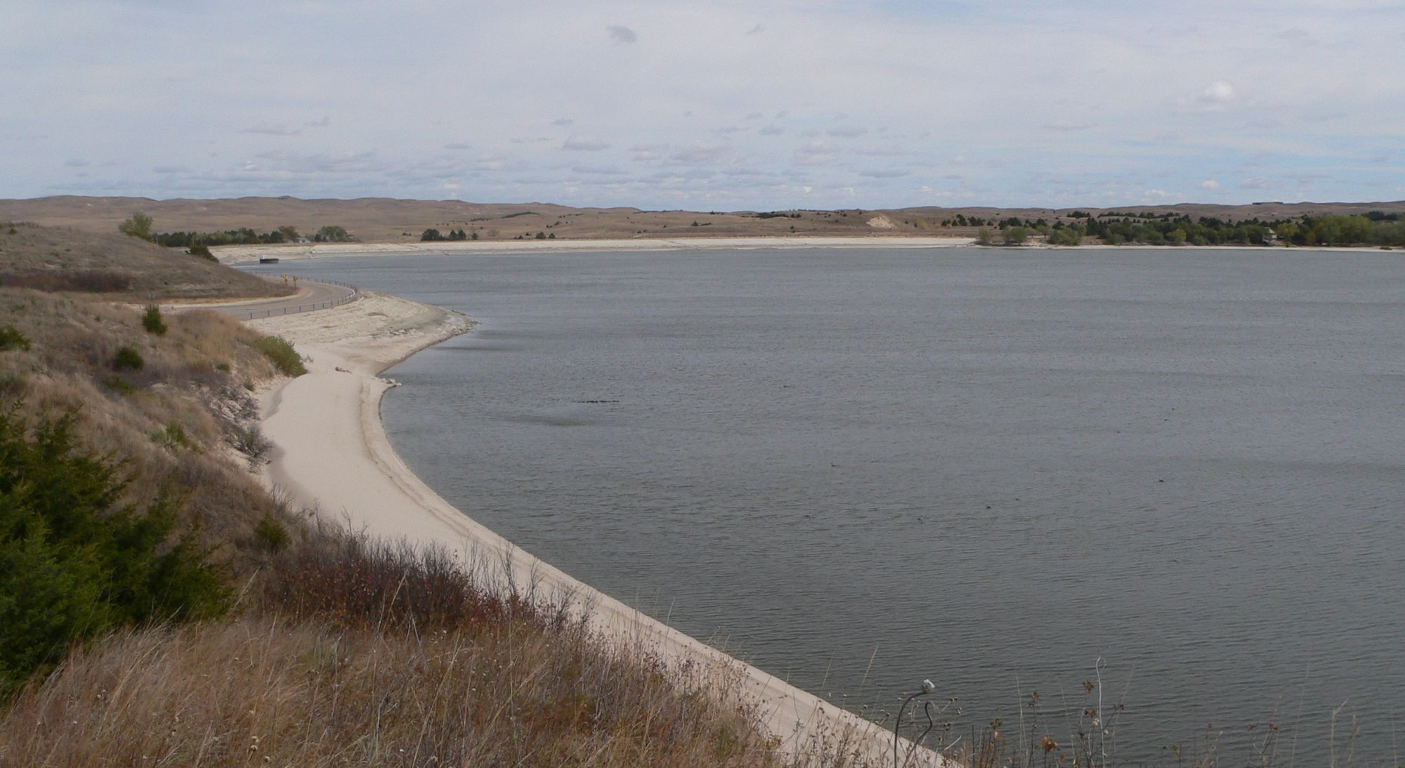
The Missouri River, often called the "Big Muddy," is a majestic waterway that flows through the heart of North America. Stretching over 2,300 miles from its headwaters in Montana to its confluence with the Mississippi River in St. Louis, this iconic river offers paddlers a diverse range of experiences through stunning landscapes and rich history.
The upper reaches of the Missouri in Montana provide some of the most scenic and historically significant paddling opportunities. The Upper Missouri River Breaks National Monument, a 149-mile stretch from Fort Benton to James Kipp Recreation Area, is a paddler's paradise. This section, part of the Lewis and Clark National Historic Trail, features dramatic white cliffs, diverse wildlife, and landscapes largely unchanged since the Corps of Discovery passed through over 200 years ago. The river here is generally calm, making it suitable for paddlers of all skill levels, though wind can be a factor.
As the river flows eastward, it transitions into a series of large reservoirs in the Dakotas before returning to a more natural state in its lower reaches. The Missouri National Recreational River, comprising two free-flowing sections totaling 98 miles in South Dakota and Nebraska, offers excellent opportunities for canoeists and kayakers to experience the river as Lewis and Clark might have seen it.
The lower Missouri, from Sioux City, Iowa to St. Louis, Missouri, is a channelized river with a steady current, making it ideal for long-distance paddling trips. This section is popular for both day trips and multi-day adventures, with numerous access points and camping opportunities along the way.
While much of the Missouri River is suitable for novice paddlers, it's important to note that conditions can vary greatly depending on the section and season. Spring and early summer typically offer the best water levels, but can also bring high water and potential hazards. Late summer and fall provide more stable conditions, though water levels may be lower in some areas.
The Missouri River ecosystem is home to a diverse array of wildlife, including bald eagles, great blue herons, deer, and the endangered pallid sturgeon. The river's course takes paddlers through a variety of landscapes, from the rugged badlands of Montana to the rolling hills and floodplain forests of the Midwest.
Notable landmarks along the river include the five falls near Great Falls, Montana, the Niobrara River confluence, and the Gateway Arch in St. Louis. Numerous historic sites, including Native American cultural areas and Lewis and Clark campsites, dot the riverbanks.
Safety is paramount when paddling the Missouri. Paddlers should be aware of potential hazards such as wing dikes, snags, and commercial barge traffic on the lower river. Weather conditions, particularly wind, can change rapidly and create challenging paddling conditions. It's essential to check current river conditions, bring appropriate safety gear, and file a float plan before embarking on any trip.
For those seeking a truly epic adventure, paddling the entire length of the Missouri River is a bucket-list journey that typically takes 3-4 months to complete. However, there are countless options for shorter multi-day trips, such as the popular 3-5 day float through the Upper Missouri River Breaks or week-long excursions on the lower river.
Whether you're looking for a short day trip or a months-long expedition, the Missouri River offers a paddling experience unlike any other, blending natural beauty, wildlife encounters, and a journey through the heart of American history.