Matt S.
878 cfs at Catawba
Great trip not a lot of places to camp out for the night so we decided to get out and the hill to get out at 536 was super steep don’t recommend lol
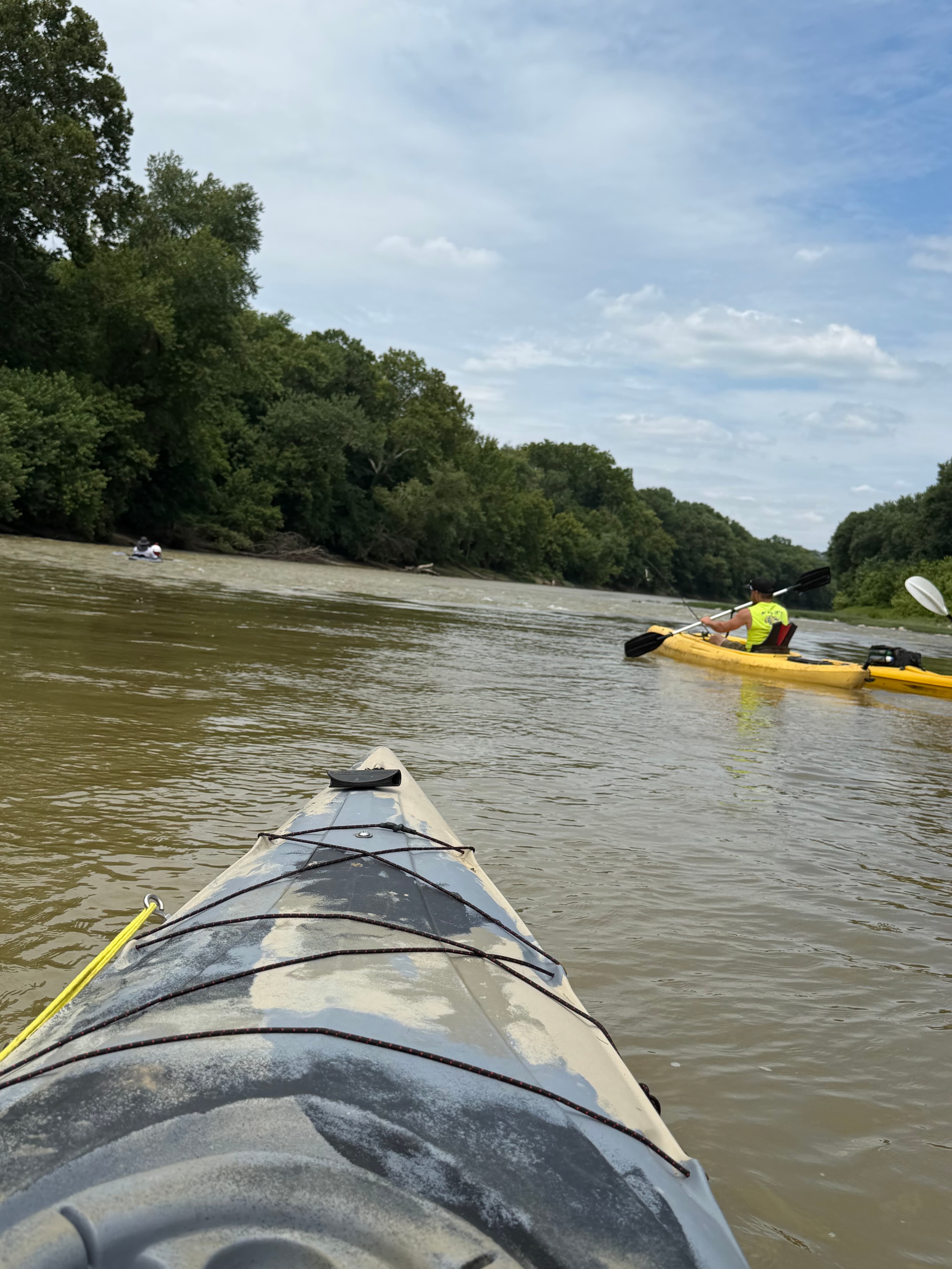
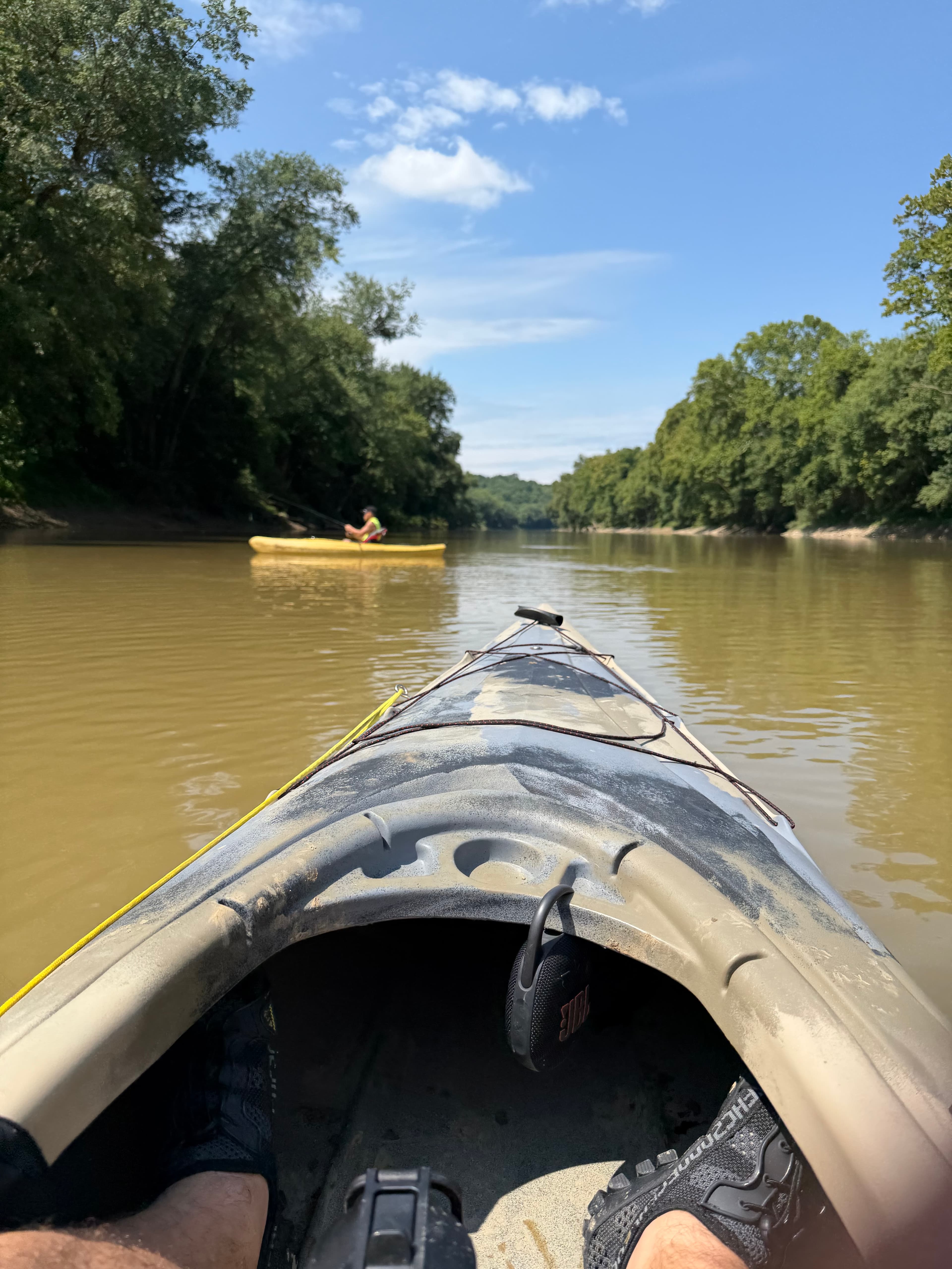
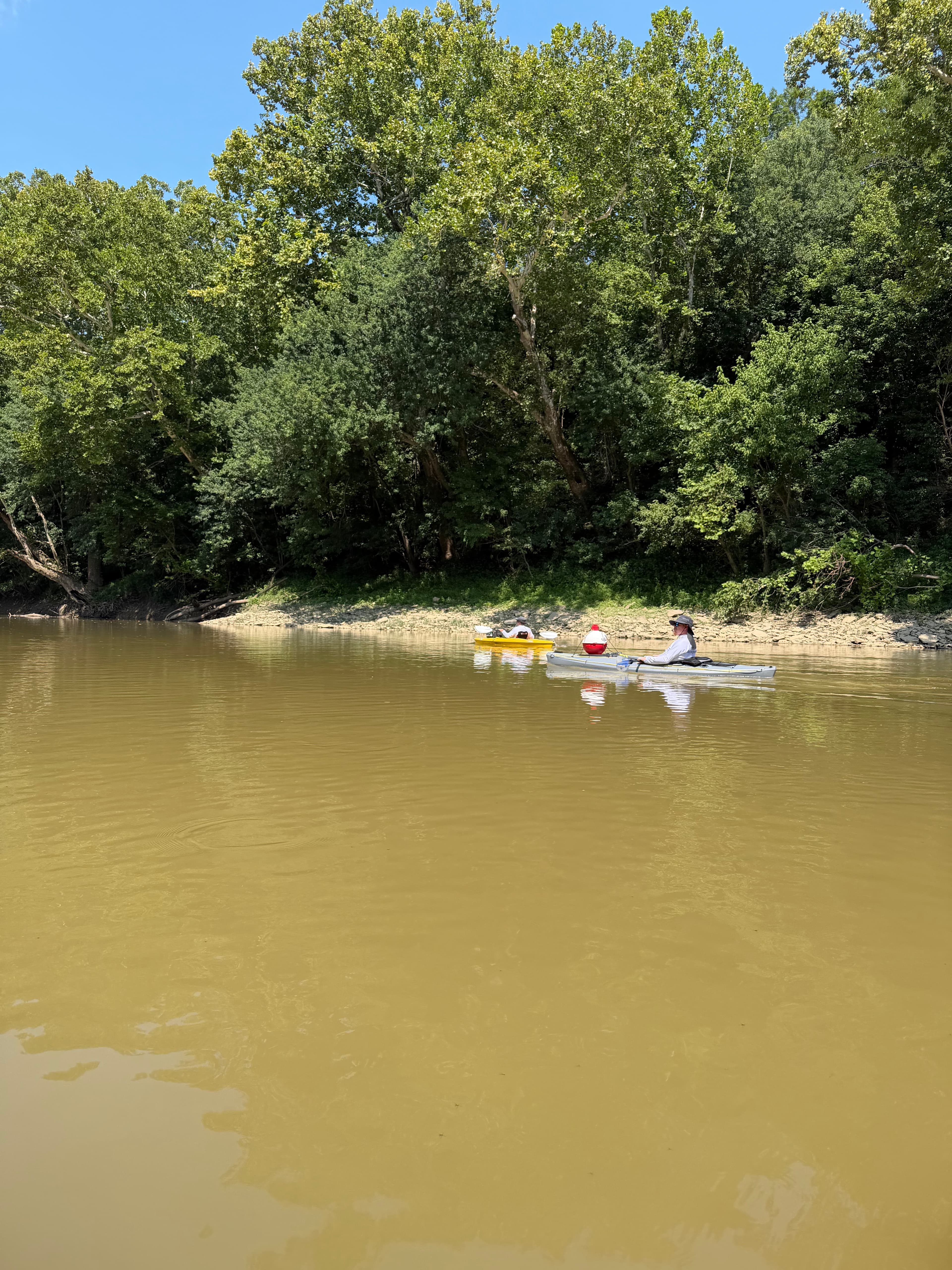 +5
Curated by PaddleWays
16.1 mi flatwater route on the Licking River in Kentucky
Level right now
Route facts
About this route
A 16-mile flatwater route on the Licking River in Pendleton County and Campbell County, Kentucky.
Put-in and take-out
Put-in
Take-out
Hazards
No hazards are marked on this route yet. That is not the same as none being there: if you find one, report it for the next paddler.
From the community
Real trips from PaddleWays paddlers who ran this route: how the flows were, and what to watch for.
Loading trip reports
Matt S.
878 cfs at Catawba
Great trip not a lot of places to camp out for the night so we decided to get out and the hill to get out at 536 was super steep don’t recommend lol
+5The gauges near this route and the forecast where it starts, so you can pick your day.
No forecast data available.
Same water
The other curated routes on the Licking River, each with how it is running now.
RouteClass I
RouteClass I–II
RouteClass I–II
RouteClass II
Close by
Curated routes on other waters within an hour or so, nearest first.
on East Fork Little Miami River · 21 mi away
RouteFlatwater
on East Fork Little Miami River · 23 mi away
RouteFlatwater
on Stonelick Creek · 26 mi away
RouteClass II
on Mill Creek · 27 mi away
RouteClass II–III
on Mill Creek · 29 mi away
RouteFlatwater
on Mill Creek · 32 mi away
RouteFlatwater
PaddleWays gives you everything you need to plan smarter, paddle better, and own every trip from first launch to takeout.
