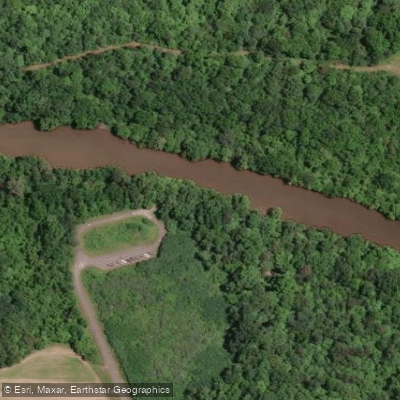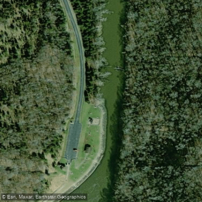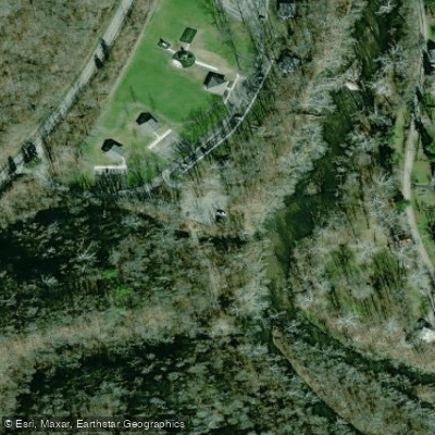
Curated by PaddleWays
RouteFlatwater
- Distance
- 5.2 mi
- Paddle time
- ~1.5 hrs
- Put-in → take-out
- Little Miami River Boat Ramp → Little Miami River, East Fork Canoe Launch
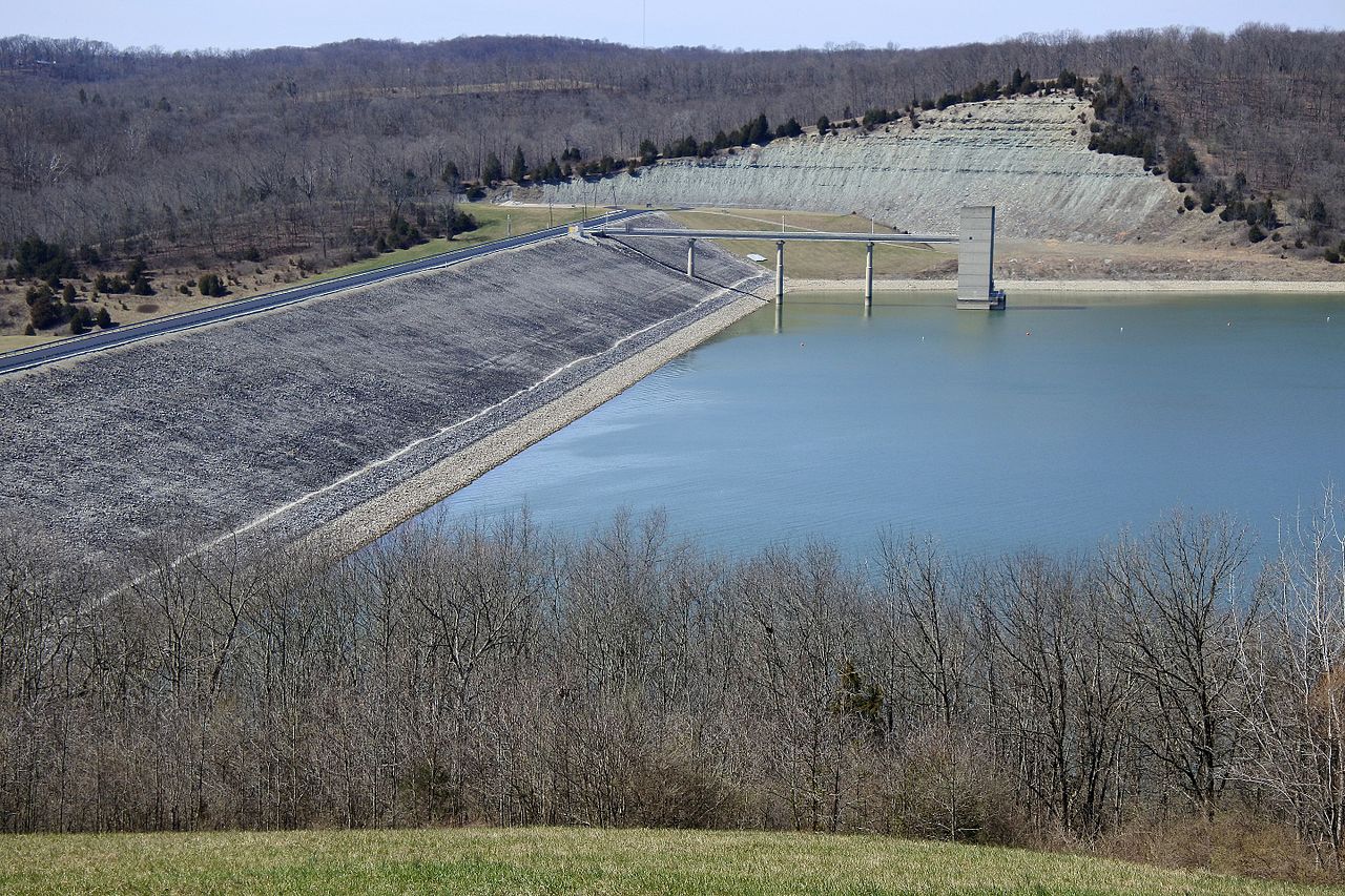
Dam outflow controls water levels
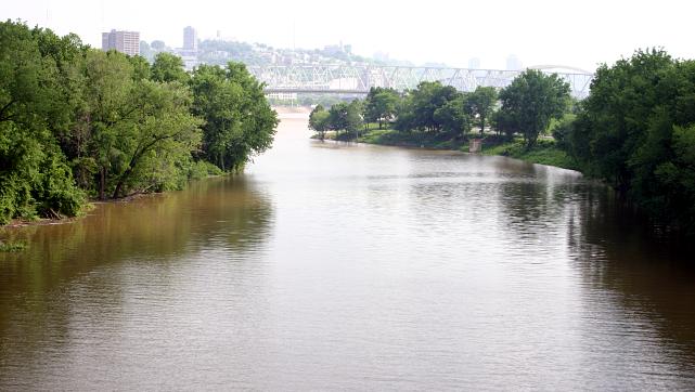
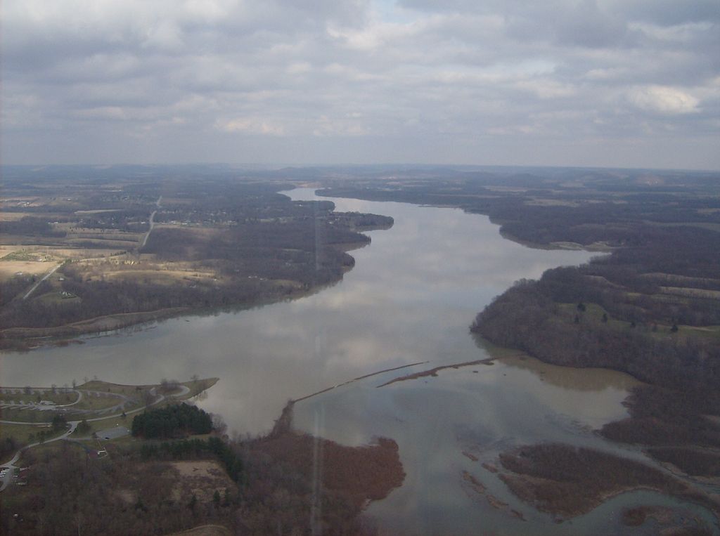
The East Fork Little Miami River is a significant tributary of the Little Miami River in southwestern Ohio. It originates in Clinton County and flows generally southwest for approximately 80 miles before joining the Little Miami River near Milford, Ohio. The East Fork drains a watershed of about 500 square miles, primarily in Clermont and Brown counties.
Paddling opportunities on the East Fork are diverse, ranging from flatwater sections to mild Class I rapids. The most popular paddling stretch begins at the tailwaters of East Fork Lake Dam and continues downstream to the confluence with the Little Miami. This section offers a mix of pools, riffles, and gentle rapids suitable for beginner to intermediate paddlers. The river's difficulty is generally rated as flatwater to Class I, making it accessible to a wide range of skill levels.
Spring and early summer typically provide the best paddling conditions, with higher water levels from seasonal rains. Late summer and fall can see lower water levels, potentially requiring portages in some areas. The river is generally paddleable year-round, though winter paddling requires additional precautions and cold-water gear.
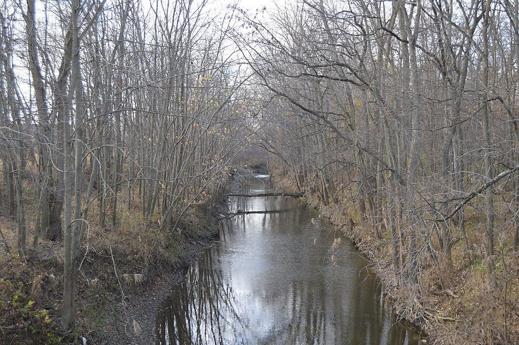
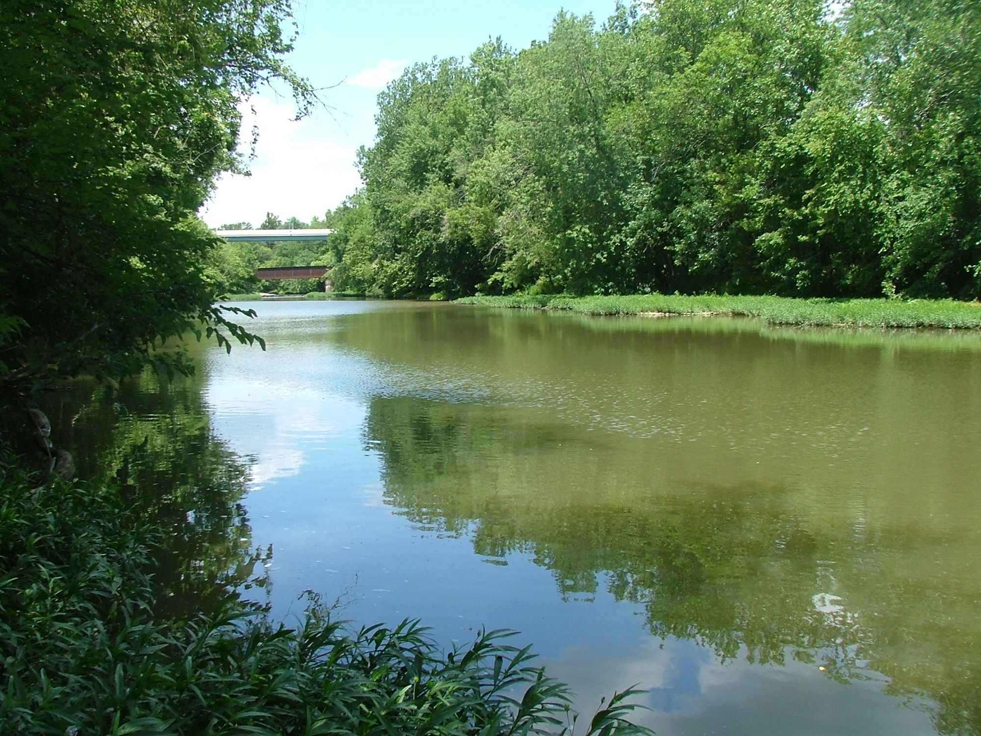
The East Fork corridor supports a rich ecosystem, with sycamore, silver maple, and cottonwood trees lining the banks. Wildlife enthusiasts may spot great blue herons, bald eagles, and various waterfowl. The river is also known for its excellent smallmouth bass fishing.
Key landmarks include East Fork State Park, which offers camping and additional recreational opportunities, and the historic town of Batavia. The low-head dam in Batavia requires a portage and should be approached with caution. Popular access points include: 1. East Fork Lake Dam tailwater (near Bethel) 2. Sycamore Park (Batavia) 3. East Fork State Park campground 4. Roadside Park (near Perintown)
The East Fork played a role in early Ohio settlement and transportation. Today, it's part of the larger Little Miami State and National Scenic River system, recognized for its recreational and ecological value.
Safety considerations include watching for strainers (fallen trees) and being aware of water levels, especially after heavy rains. All paddlers should wear life jackets and check local regulations before their trip. For those interested in multi-day adventures, it's possible to paddle the entire length of the East Fork and continue down the Little Miami to the Ohio River, though this requires careful planning and multiple take-out points.
Curated routes
Hand-picked by the PaddleWays team, with put-ins, take-outs, paddle times and the hazards along the way.
RouteFlatwater
RouteFlatwater
Hazards
No paddler has reported a hazard here yet, so these are the dams, falls and big rapids on our map. Hazards change with flows and storms, so check them before you launch.
From the community
Nobody has shared a trip on East Fork Little Miami River yet. Paddle it, then tell the next paddler how it went.
See exactly where the public can get on and off the river. Launch points and boat ramps are paired with PaddleWays' public land data so you know where you can legally land.
Public shoreline
22%of the river's shoreline is public
Most of the riverbank is private. Launch, land and camp only at public access points.
Flows, weather and a route-by-route verdict, so you know which stretch of the East Fork Little Miami River is worth paddling today.
All Flow Stations
Live flows, marked hazards and fresh trip reports from paddlers who were just on the water, all in one place.





Every user gets free access to launch points, boat ramps, and public property parcels.

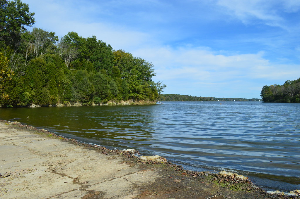
Loading popular cities...
PaddleWays gives you everything you need to plan smarter, paddle better, and own every trip from first launch to takeout.