Curated by PaddleWays
RouteClass II
- Distance
- 5.6 mi
- Paddle time
- ~2 hrs
- Best for
- Intermediate paddlers
Strainers and downed trees
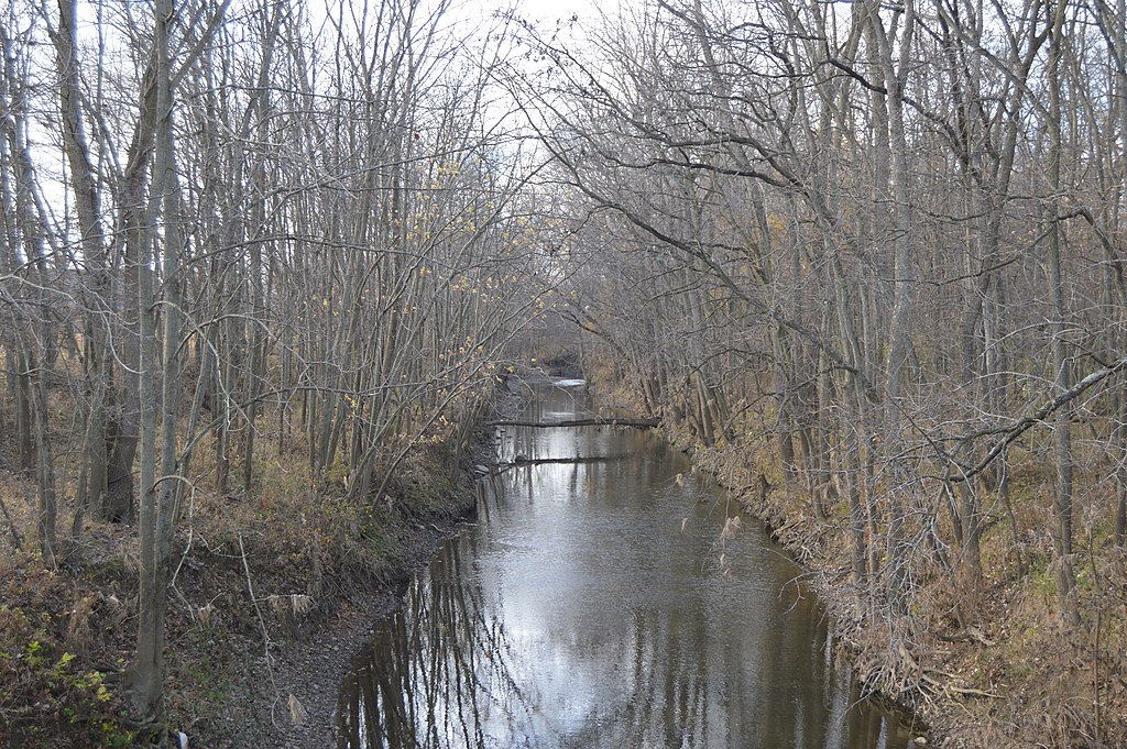
Stonelick Creek is a scenic waterway located in southwestern Ohio, primarily in Clermont County. The creek originates northeast of Owensville and flows generally southwest for approximately 20 miles before emptying into the East Fork Little Miami River near Perintown. Its main tributaries include Brushy Fork and Lick Fork. Stonelick Creek offers paddlers a variety of experiences, from challenging whitewater sections to peaceful flatwater.
The upper reaches feature a 4.5-mile Class III-IV whitewater run from an unspecified put-in to the OH 132 bridge, characterized by continuous rapids, ledges, and surfing holes. This section is rain-dependent and suitable only for experienced whitewater paddlers. Below this, a 4.5-mile Class II section from Anstaett Road to US 50 provides an intermediate paddling experience with steady action. The creek's difficulty ranges from flatwater to Class IV, accommodating beginners to experts. Spring and early summer typically offer the best water levels for whitewater paddling, while the lower sections and Stonelick Lake are accessible year-round.
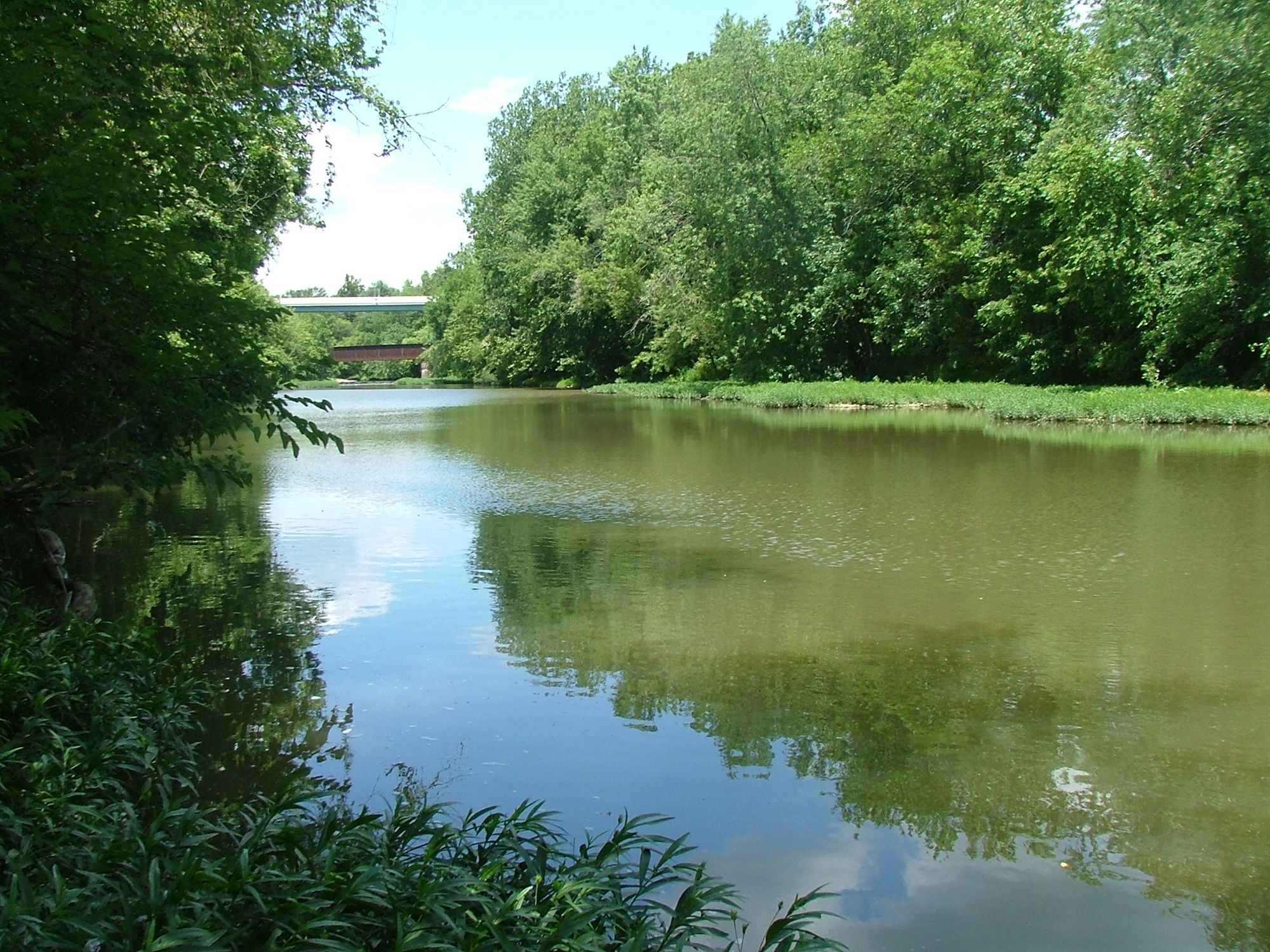
The surrounding landscape features rolling hills and forests typical of southwest Ohio. The creek corridor supports diverse riparian plant life, including pickerel weed, arrowhead, buttonbush, and various willow species. Wildlife such as great blue herons, turtles, and a variety of fish can be observed.
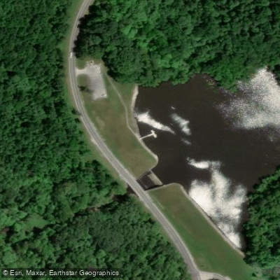
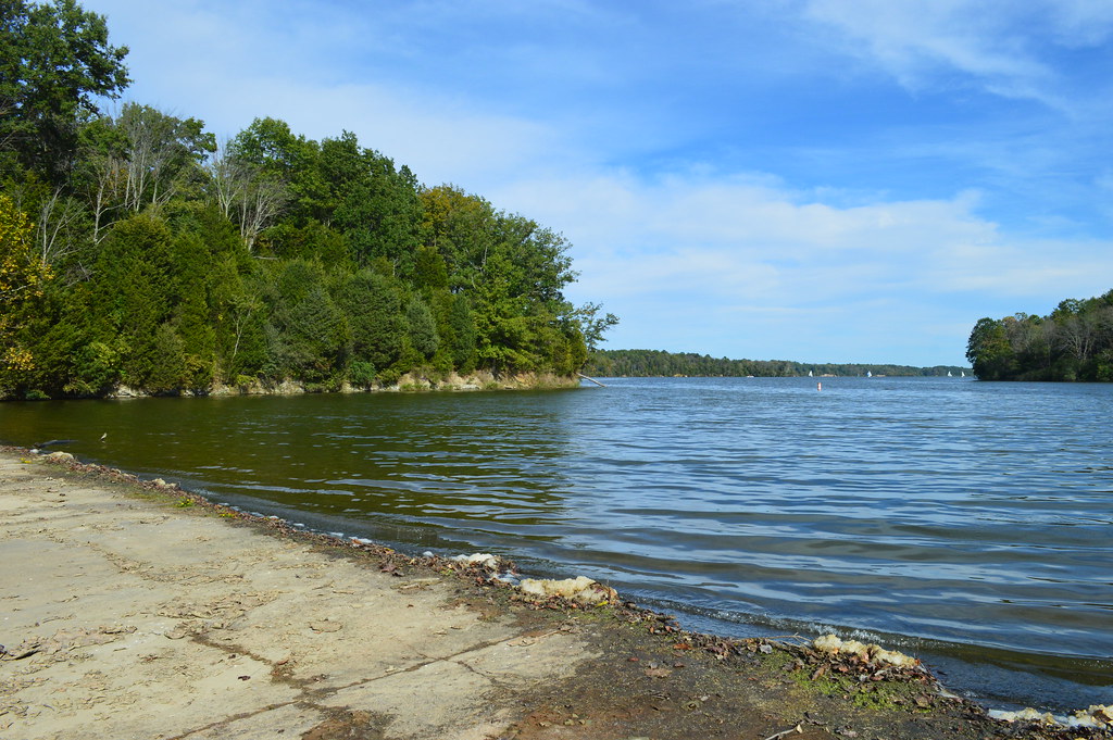
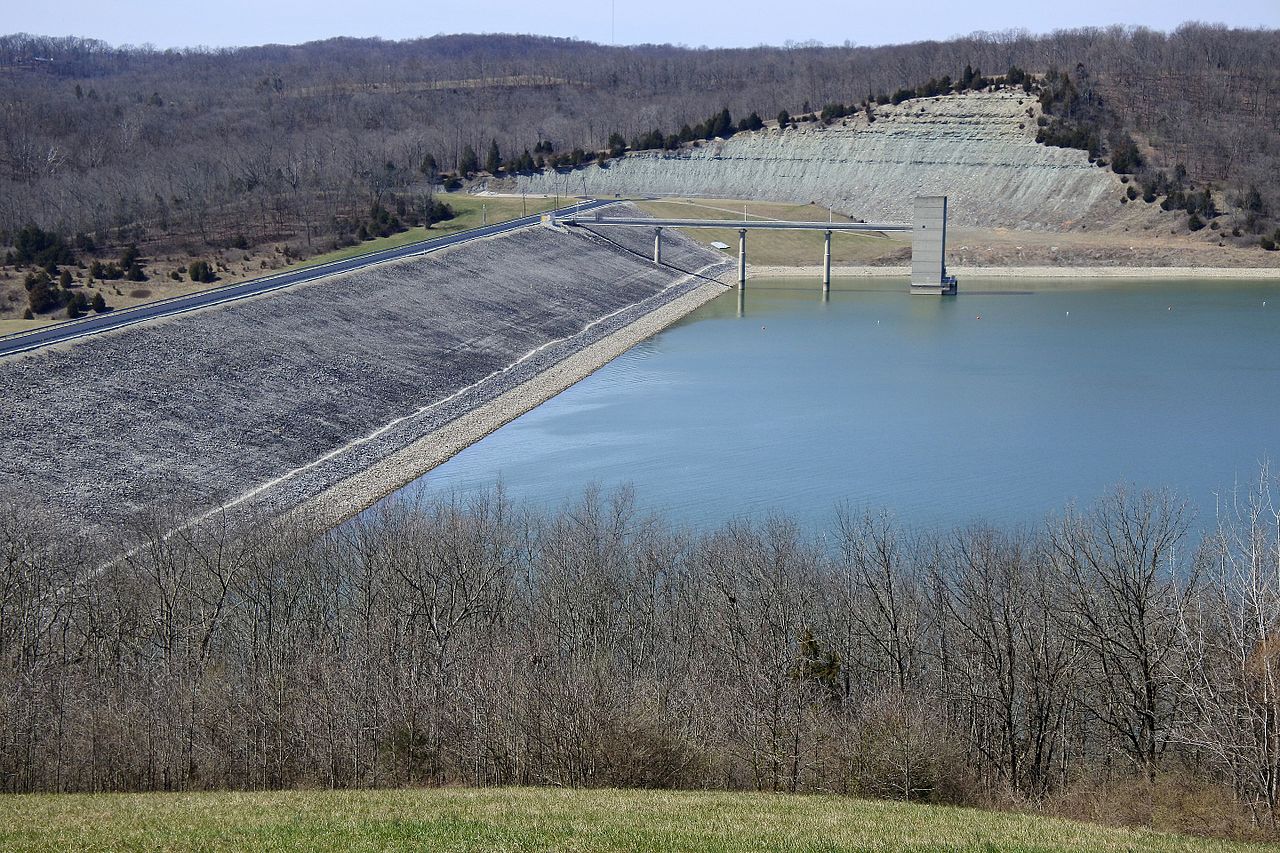
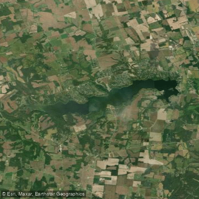
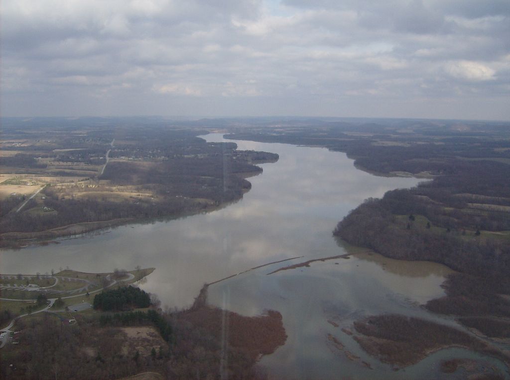
Key landmarks include the historic Stonelick Covered Bridge on Stonelick-Williams Corner Road, Stonelick State Park, and Stonelick Lake. The 200-acre lake, formed by damming the creek, offers additional flatwater paddling opportunities in a beautiful setting. Primary access points include put-ins near OH 132, Anstaett Road, and various locations around Stonelick Lake. The nearby towns of Owensville and Perintown provide services for paddlers.
Historically, the creek and surrounding area were important to Native American tribes and early settlers. Today, it serves as a valuable recreational resource and natural habitat. Paddlers should be aware of potential hazards such as strainers, especially after high water events. All boaters are required to have appropriate safety equipment. Multi-day trips are possible by combining creek sections with paddling on Stonelick Lake and camping at Stonelick State Park.
Stonelick Creek offers a diverse paddling experience, from thrilling whitewater to serene lake paddling, all set within the picturesque landscape of southwestern Ohio.
Curated routes
Hand-picked by the PaddleWays team, with put-ins, take-outs, paddle times and the hazards along the way.
RouteClass II
Hazards
No paddler has reported a hazard here yet, so these are the dams, falls and big rapids on our map. Hazards change with flows and storms, so check them before you launch.
From the community
Nobody has shared a trip on Stonelick Creek yet. Paddle it, then tell the next paddler how it went.
See exactly where the public can get on and off the river. Launch points and boat ramps are paired with PaddleWays' public land data so you know where you can legally land.
Public shoreline
15%of the river's shoreline is public
Most of the riverbank is private. Launch, land and camp only at public access points.
Flows, weather and a route-by-route verdict, so you know which stretch of the Stonelick Creek is worth paddling today.
No forecast data available.
Live flows, marked hazards and fresh trip reports from paddlers who were just on the water, all in one place.





Every user gets free access to launch points, boat ramps, and public property parcels.

Loading popular cities...
PaddleWays gives you everything you need to plan smarter, paddle better, and own every trip from first launch to takeout.