Licking River
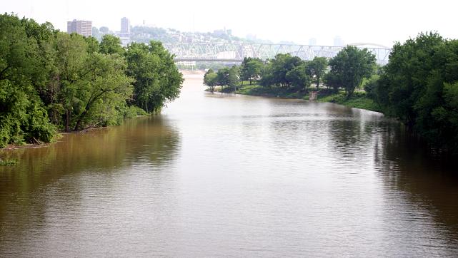
Licking River
- Boat Ramps
- 18
- Access Points
- 20
- Campsites
- 12
The Licking River is a major waterway in Kentucky, originating in the Appalachian Mountains of Magoffin County and flowing northwest for approximately 303 miles before joining the Ohio River at Covington, opposite Cincinnati. Its main tributaries include the North Fork, South Fork, and Stoner Creek. The Licking offers diverse paddling opportunities, from placid flatwater sections to more challenging Class I-II rapids. The upper reaches near Cave Run Lake provide scenic wilderness paddling, while the middle and lower sections offer a mix of gentle currents and occasional riffles.
Popular paddling sections include Upper Blue Licks to Lower Blue Licks (6.5 miles), Clay WMA to Blue Licks Battlefield (18 miles), and Falmouth to Highway 609 (41.2 miles). Overall difficulty ranges from flatwater to Class II, making it suitable for beginners to intermediate paddlers. Some sections, like Falmouth to Highway 609, can be more challenging and require some whitewater skills.
Spring and fall are ideal paddling seasons, with higher water levels and comfortable temperatures. Summer offers reliable flows but can be hot, while winter paddling is possible but requires cold-water gear. The river corridor supports diverse wildlife, including bald eagles, herons, and muskellunge. The undeveloped banks provide excellent opportunities for wildlife viewing.
Key landmarks include Cave Run Lake, Blue Licks Battlefield State Park, and the historic Upper and Lower Blue Licks. These salt licks played a significant role in Native American and early settler history. Major access points include Upper Blue Licks (near Milltown), Clay WMA boat ramp, Falmouth, Butler, and various locations near Cynthiana. The Robinson Dam area offers good fishing access.
The Licking River holds great historical significance, serving as an important transportation route for Native Americans and early settlers. The Battle of Blue Licks, one of the last battles of the Revolutionary War, took place along its banks in 1782.
Paddlers should be aware of low-head dams, particularly in Falmouth and near Robinson Dam. Always check water levels before paddling, as the river can rise quickly after heavy rains. Multi-day trips are possible, with primitive camping available along the banks. A popular overnight trip runs from Falmouth to Butler, offering a mix of scenery and moderate paddling challenge.
Water access, boat ramps & amenities
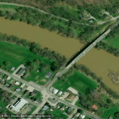
Learn how to get on Licking River. Uncover great paddling access points, boat ramps, and all the facilities you need for an unforgettable day on the water. Some locations shown may border or include private property. Always check property boundaries and applicable regulations before visiting. PaddleWays's Public & Private Land layer can help you plan your access with confidence.
Paddle smarter with real-time insights
Whether you're en route and conditions shift or you're looking for the best spot based on current flows, we enable you to make informed decisions on the fly.








Find Places to Paddle

Over 400,000 Places to Paddle
Every user gets free access to launch points, boat ramps, and public property parcels.


Water and weather conditions (10 day forecast)
See the best times to paddle Licking River and check the forecast before you go.
LICKING RIVER AT FARMERS, KY
All Flow Stations
Paddling near Licking River
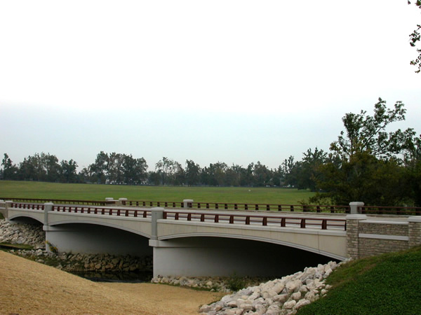
North Elkhorn Creek
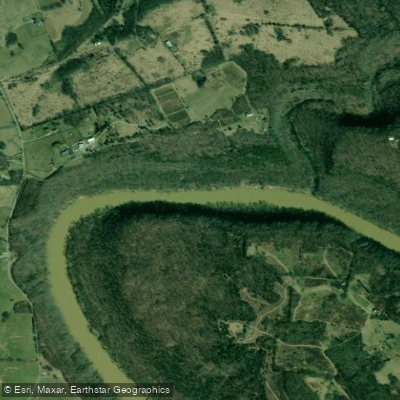
Kentucky River
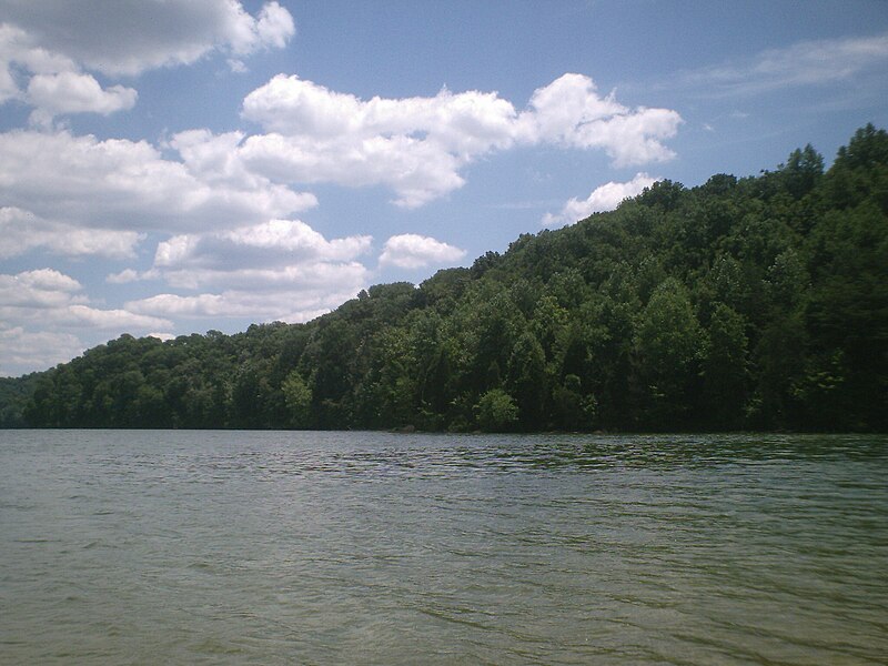
Herrington Lake
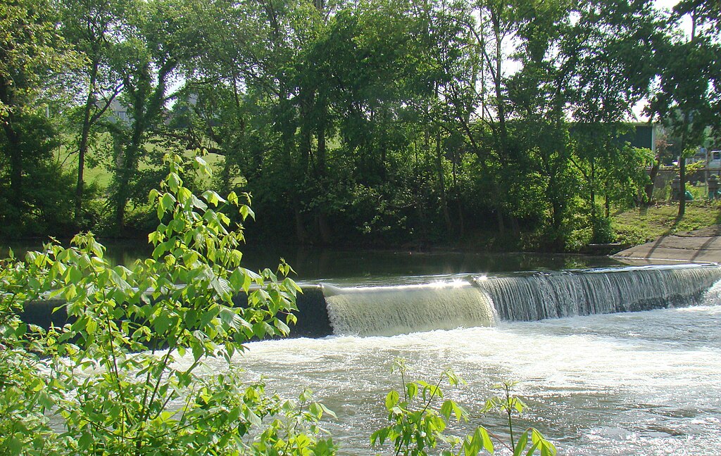
Elkhorn Creek
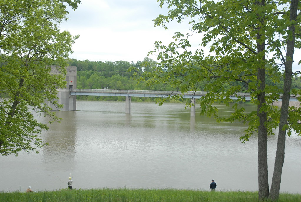
Taylorsville Lake
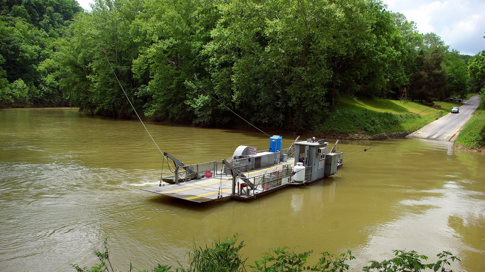
Green River
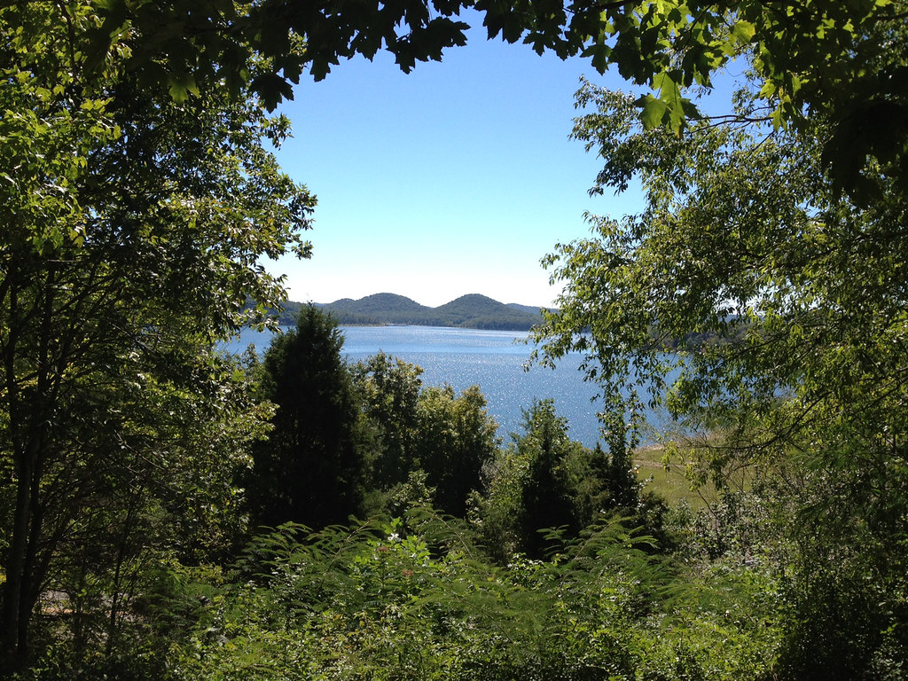
Cave Run Lake
Lexington Reservoir Number 4
Salt River
Explore Kentucky waters
Top paddling waters
Popular Cities
Loading popular cities...
Explore near Licking River
Access points
- Johnson Ford-Fleming Boat Ramp
- Cave Run Lake Boat Ramp
- Clay Wildlife Management Area Boat Ramp
- Wyoming Ford Boat Ramp
- Moore's Ferry Boat Ramp
- Kenton Park Boat Ramp
- Blue Licks Battlefield Boat Ramp
- Old 57 Ford Boat Ramp
- Claysville Boat Ramp
- Blackwater Boat Ramp
- Upper Blue Licks Boat Ramp
- Licking River Boat Ramp
- All 357 spots
Nearby waters
More in Kentucky

Smarter Paddling Starts in the App.
Paddleways gives you everything you need to plan smarter, paddle better, and own every trip from first launch to takeout.