Anderson River
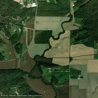
Anderson River
- Boat Ramps
- 1
- Access Points
- 1
- Campsites
- 4
The Anderson River is a modest waterway that flows through southern Indiana before joining the Ohio River at the Indiana-Kentucky border. Originating in Crawford County, Indiana, the river meanders southward for approximately 50 miles through a picturesque landscape of rolling hills and forested valleys.
Paddling opportunities on the Anderson River are limited but rewarding for those seeking a quiet, scenic float. The river is generally suitable for canoes and kayaks, with mostly flatwater conditions interspersed with occasional Class I riffles. The upper sections near Bristow, Indiana offer a more intimate paddling experience through narrow, winding channels, while the lower reaches near Troy, Indiana widen as the river approaches its confluence with the Ohio.
The Anderson River's flow is highly dependent on recent rainfall, making spring and early summer typically the best seasons for paddling. During drier periods, particularly late summer and fall, portions of the river may become too shallow for comfortable navigation.
The river corridor supports a diverse ecosystem, with sycamores, maples, and oaks lining the banks. Wildlife enthusiasts may spot white-tailed deer, wild turkeys, and various waterfowl. The clear waters of the Anderson also harbor smallmouth bass, rock bass, and various sunfish species, making it a popular destination for anglers.
Key landmarks along the river include Hoosier National Forest, which encompasses much of the upper watershed, and the historic town of Troy near the river's mouth. The Anderson River Park, located just upstream from Troy, provides a convenient Anderson River Park and picnic area.
For those planning a trip, the most common put-in is at Bristow, with take-outs available at Anderson River Park or the confluence with the Ohio River in Troy. These small communities offer limited amenities, so paddlers should come prepared with supplies.
Historically, the Anderson River played a role in early settlement and commerce in southern Indiana, with several mill sites established along its banks in the 19th century. Today, it remains a relatively undeveloped waterway, offering paddlers a glimpse into the natural beauty of the region.
Safety considerations include checking water levels before embarking, as the river can rise quickly after heavy rains. Paddlers should also be aware of potential strainers and log jams, particularly in the upper sections. While multi-day trips are possible, most paddlers opt for day excursions due to limited camping options along the river. Those seeking a longer adventure can combine a paddle on the Anderson with exploration of the nearby Ohio River or Hoosier National Forest.
Water access, boat ramps & amenities
Learn how to get on Anderson River. Uncover great paddling access points, boat ramps, and all the facilities you need for an unforgettable day on the water. Some locations shown may border or include private property. Always check property boundaries and applicable regulations before visiting. PaddleWays's Public & Private Land layer can help you plan your access with confidence.
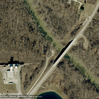
Paddle smarter with real-time insights
Whether you're en route and conditions shift or you're looking for the best spot based on current flows, we enable you to make informed decisions on the fly.








Find Places to Paddle

Over 400,000 Places to Paddle
Every user gets free access to launch points, boat ramps, and public property parcels.


Water and weather conditions (10 day forecast)
See the best times to paddle Anderson River and check the forecast before you go.
No forecast data available.
Paddling near Anderson River

Ohio River
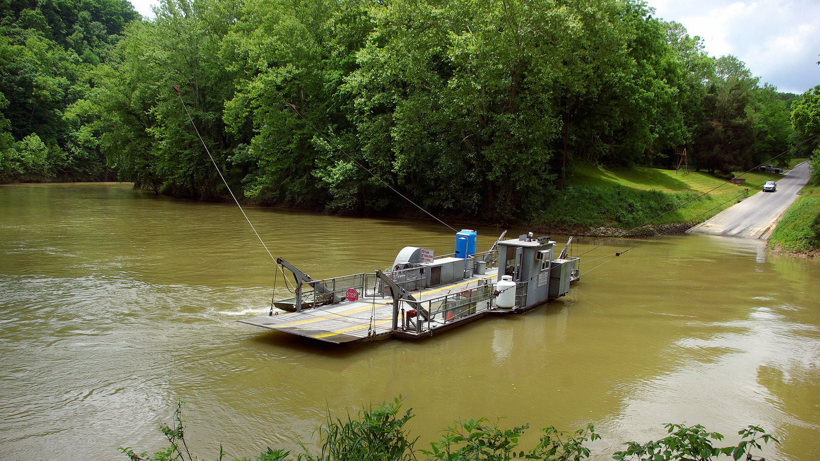
Green River
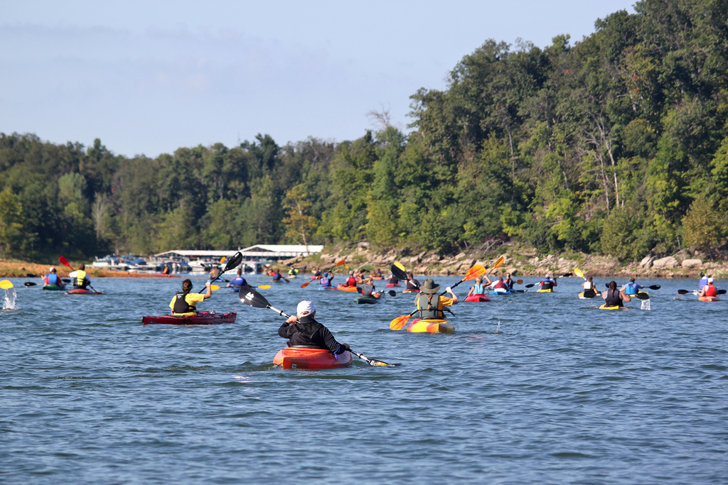
Rough River
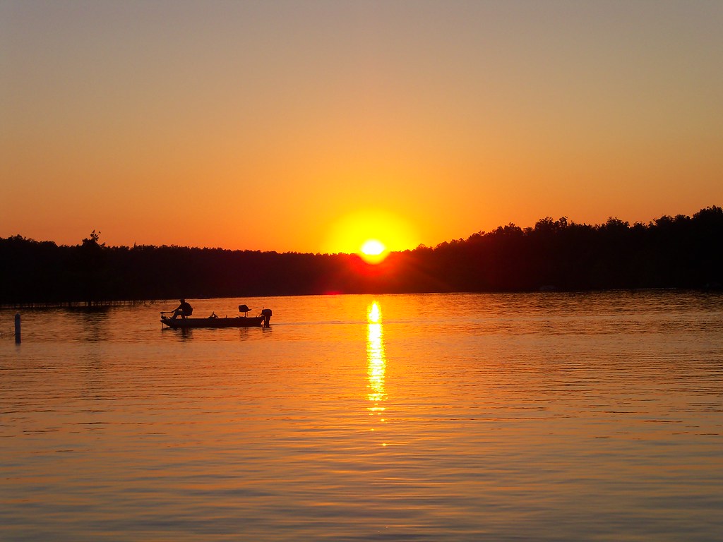
Rough River Lake
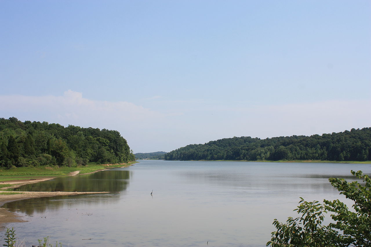
Patoka Lake
Barren River
Carpenters Lake
Little Pigeon Creek
Patoka River
Explore Kentucky waters
Top paddling waters
Popular Cities
Loading popular cities...
Explore near Anderson River
Access points
Nearby waters
More in Kentucky

Smarter Paddling Starts in the App.
Paddleways gives you everything you need to plan smarter, paddle better, and own every trip from first launch to takeout.