Floyds Fork
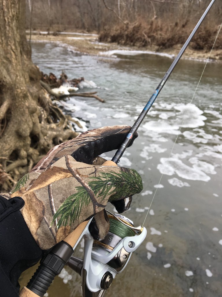
Floyds Fork
- Boat Ramps
- 9
- Access Points
- 10
- Campsites
- 0
Floyds Fork is a scenic 62-mile tributary of the Salt River in central Kentucky. Originating in Henry County near Smithfield, it flows southwest through Jefferson and Bullitt counties before joining the Salt River near Shepherdsville. The river winds through a mix of rural and suburban landscapes just east of Louisville, draining a watershed of approximately 284 square miles. Paddlers can enjoy over 20 miles of diverse flatwater and mild whitewater along Floyds Fork, with difficulty ranging from Class I to II. The river is characterized by a rocky bottom, small rapids, flowing shoals, and long pools.
Popular paddling sections include the 19.7-mile stretch through The Parklands of Floyds Fork, offering multiple access points and trip options for various skill levels. The river's hydrology supports year-round paddling, with spring and fall typically providing optimal water levels. Summer paddling is possible but may require portaging in low-water sections. Winter paddling offers solitude but requires cold-water gear and caution.
Floyds Fork hosts diverse wildlife, including bald eagles, herons, turtles, and all three black bass species native to Kentucky: smallmouth, largemouth, and spotted bass. The surrounding riparian corridor features a mix of hardwood forests, meadows, and limestone outcroppings.
Key landmarks include the remains of the old Grosscurth Distillery, multiple bridges, and the Fisherville Village area. The Parklands of Floyds Fork, a nearly 4,000-acre linear park system, offers numerous access points, including North Beckley, Creekside, Fisherville, Cane Run, Seaton Valley, Broad Run Valley, and Cliffside.
Historically, the river played a role in early settlement and industry, with remnants of old mills and distilleries dotting its banks. Today, it serves as a vital recreational resource for the Louisville metro area, balancing conservation with public access.
Safety considerations include checking water levels before trips, as the river can become challenging in high water. Paddlers should be aware of potential hazards such as strainers and low-head dams. Some sections are relatively remote, so proper planning and self-rescue skills are essential.
For those seeking a multi-day adventure, it's possible to paddle the entire length of Floyds Fork, camping at designated sites along the way. This trip offers a comprehensive experience of the river's changing character from its rural upper reaches to its more developed lower sections.
Water access, boat ramps & amenities
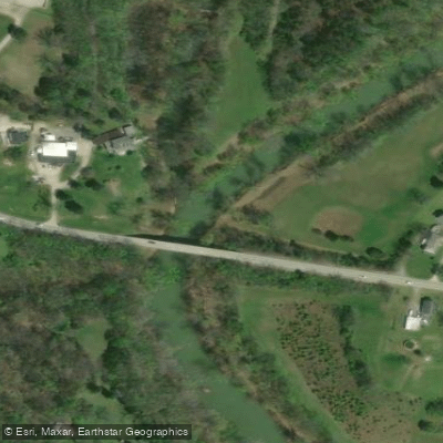
Learn how to get on Floyds Fork. Uncover great paddling access points, boat ramps, and all the facilities you need for an unforgettable day on the water. Some locations shown may border or include private property. Always check property boundaries and applicable regulations before visiting. PaddleWays's Public & Private Land layer can help you plan your access with confidence.
Paddle smarter with real-time insights
Whether you're en route and conditions shift or you're looking for the best spot based on current flows, we enable you to make informed decisions on the fly.








Find Places to Paddle

Over 400,000 Places to Paddle
Every user gets free access to launch points, boat ramps, and public property parcels.


Water and weather conditions (10 day forecast)
See the best times to paddle Floyds Fork and check the forecast before you go.
FLOYDS FORK NEAR PEWEE VALLEY, KY
All Flow Stations
Paddling near Floyds Fork

Ohio River
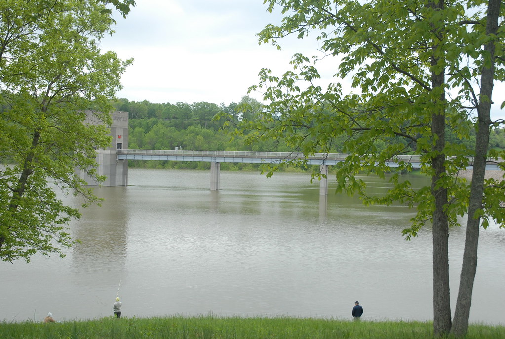
Taylorsville Lake
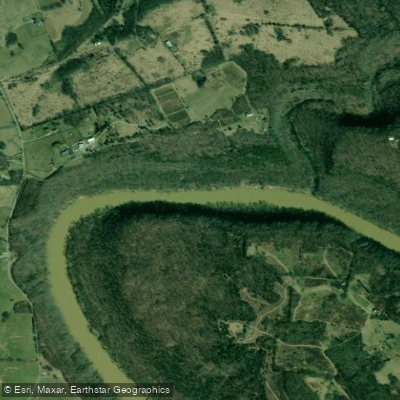
Kentucky River
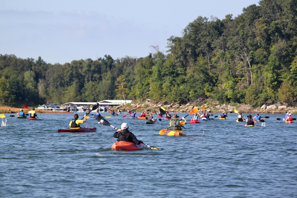
Rough River
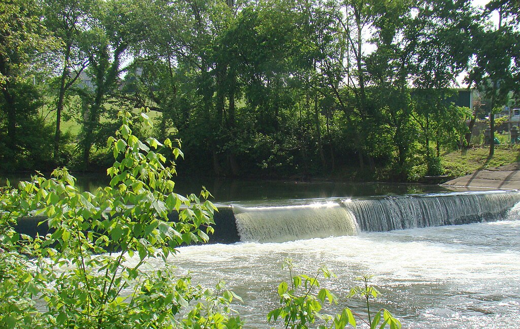
Elkhorn Creek
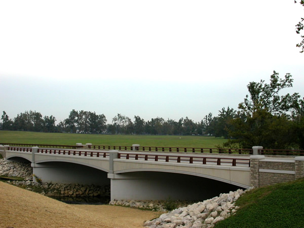
North Elkhorn Creek
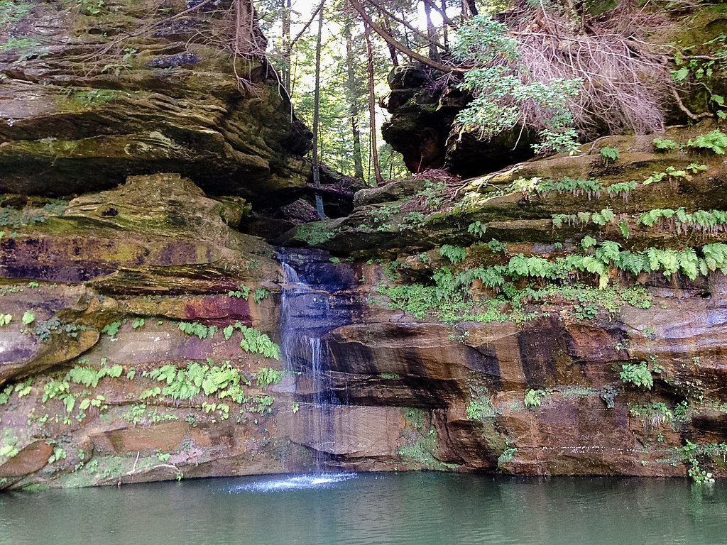
Nolin River
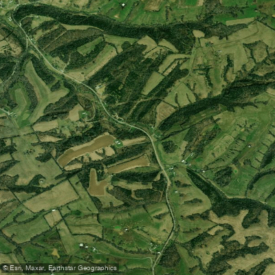
Salt River
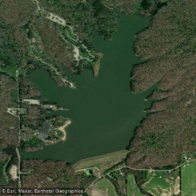
Deam Lake
Explore Kentucky waters
Top paddling waters
Popular Cities
Loading popular cities...
Explore near Floyds Fork
Access points
Nearby waters
More in Kentucky

Smarter Paddling Starts in the App.
Paddleways gives you everything you need to plan smarter, paddle better, and own every trip from first launch to takeout.