Salt River
Salt River
- Boat Ramps
- 8
- Access Points
- 12
- Campsites
- 3
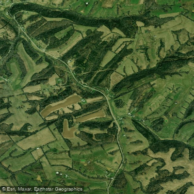
The Salt River originates near Parksville in Boyle County, rising from the north slope of Persimmon Knob south of KY 300, and flows 150 miles northward and westward through central Kentucky before joining the Ohio River near West Point in Hardin County. This 2,920-square-mile watershed ranks as Kentucky's fifth-largest river basin, draining portions of Anderson, Boyle, Bullitt, Hardin, Mercer, Nelson, and Spencer counties. The river's name derives from Bullitt's Lick, a salt-producing settlement established by Henry Crist in 1779 near present-day Shepherdsville.
Flowing over sandy mud bottoms, the Salt River winds through terrain characterized by medium-sized hills and ridges on one bank and broad agricultural fields on the other. The river valley sits 480-500 feet above sea level, with steep hillsides quickly climbing to elevations of 650-750 feet, creating distinctive flat-topped ridges separated by narrow hollows. This topography makes the area prone to flash flooding, particularly after heavy rains.
Paddling opportunities exist throughout the system, with the river generally suitable for canoes and kayaks. The stretch from Harrodsburg through Anderson County to Taylorsville Lake offers relatively remote paddling through agricultural landscapes. Below Taylorsville Lake Dam—completed in 1983 to control flooding—the river's character changes significantly. Near Shepherdsville in Bullitt County, paddlers encounter Class I rapids. Navigational hazards include numerous deadfalls, logjams, and brush islands requiring good boat control. The river receives maximum rainfall in May and minimum in September. Taylorsville Lake Dam has substantially reduced downstream flooding since preventing an estimated $36 million in flood damage.
Multiple public access points serve paddlers, including ramps in Harrodsburg (Mercer County), Lawrenceburg (Anderson County), Taylorsville (Spencer County), and Shepherdsville (Bullitt County).
The watershed supports diverse wildlife including white-tailed deer, river otters, beavers, and waterfowl. Protected areas harbor rare species like Indiana bats, gray bats, fanshell mussels, and Louisville crawfish. Unique plant species include Crawe's sedge, small white lady's-slipper, and Kentucky glade cress.
Historical significance extends beyond salt production. Fort Duffield, an earthen Civil War fortification near the river's mouth, protected Louisville and monitored river traffic. The Battle of Perryville (October 8, 1862) occurred along the Chaplin River, a tributary of Beech Fork in Boyle County, marking Kentucky's largest and deadliest Civil War engagement. The river historically powered numerous mills and provided transportation for timber and goods. Today it supports fishing for largemouth bass, smallmouth bass, bluegill, crappie, and catfish.
Paddlers should monitor water levels via USGS gauges, respect private property, and use designated access points only.
Water access, boat ramps & amenities
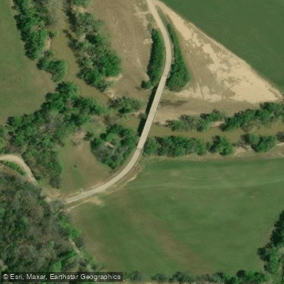
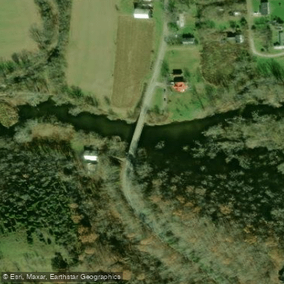
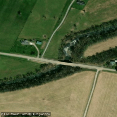
Learn how to get on Salt River. Uncover great paddling access points, boat ramps, and all the facilities you need for an unforgettable day on the water. Some locations shown may border or include private property. Always check property boundaries and applicable regulations before visiting. PaddleWays's Public & Private Land layer can help you plan your access with confidence.
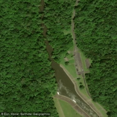
Paddle smarter with real-time insights
Whether you're en route and conditions shift or you're looking for the best spot based on current flows, we enable you to make informed decisions on the fly.








Find Places to Paddle

Over 400,000 Places to Paddle
Every user gets free access to launch points, boat ramps, and public property parcels.


Water and weather conditions (10 day forecast)
See the best times to paddle Salt River and check the forecast before you go.
SALT RIVER AT GLENSBORO, KY
All Flow Stations
Paddling near Salt River
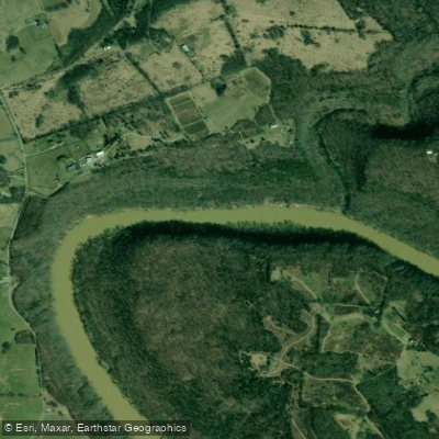
Kentucky River
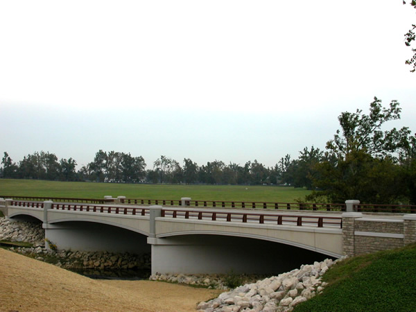
North Elkhorn Creek
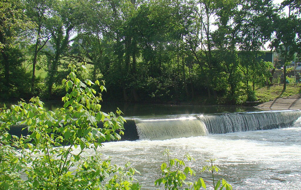
Elkhorn Creek
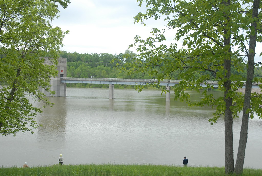
Taylorsville Lake
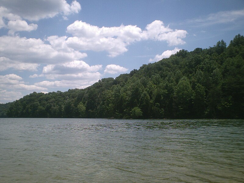
Herrington Lake

Ohio River
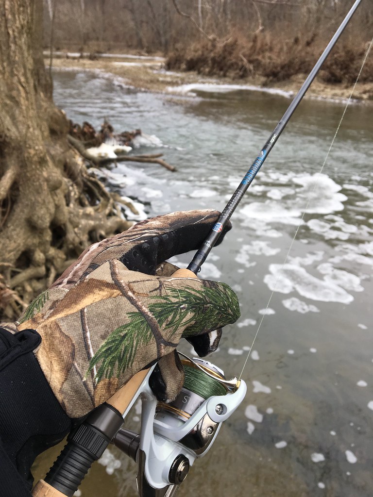
Floyds Fork
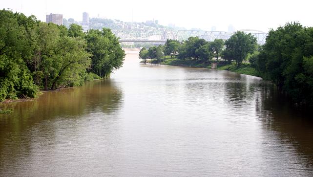
Licking River
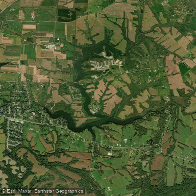
Guist Creek Lake
Explore Kentucky waters
Top paddling waters
Popular Cities
Loading popular cities...
Explore near Salt River
Access points
- Salt River Boat Ramp
- KOA Campground Hand Boat Launch
- Taylorsville City Boat Ramp
- Taylorsville Lake Tailwater Boat Ramp
- Salt River Boat Ramp
- Salt River Boat Ramp
- West Point Salt River Boat Ramp
- Chowning Lane Boat Ramp
- River Bottom Access
- Glensboro Access
- KY 1160 Bridge to Glensboro
- Taylorsville Tailwater Access
- All 194 spots
Nearby waters
More in Kentucky

Smarter Paddling Starts in the App.
Paddleways gives you everything you need to plan smarter, paddle better, and own every trip from first launch to takeout.