Curated by PaddleWays
RouteClass I–II
- Distance
- 12.3 mi
- Paddle time
- ~4 hrs
- Best for
- Kayak, canoe
- Put-in → take-out
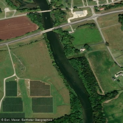
- Franklin Boat Ramp → Saddler Ford Boat Ramp
The West Fork Drakes Creek is a scenic waterway located in south-central Kentucky, primarily flowing through Simpson County. This tributary of Drakes Creek originates near the Kentucky-Tennessee border and flows northward, eventually joining the main stem of Drakes Creek before emptying into the Barren River. The creek drains a significant portion of Simpson County, forming part of the larger Green River watershed.
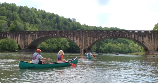
Paddlers can enjoy several sections of the West Fork Drakes Creek, with difficulty levels ranging from flatwater to Class II rapids. The most popular stretch runs from Sadler Ford Road to Woody Atkinson Road, covering approximately 6 miles. This section features beautiful rock walls, exposed formations, and diverse wildlife, making it a favorite among canoe and kayak enthusiasts.
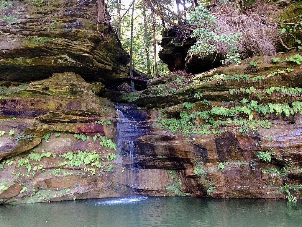
The creek is best paddled in spring to early summer when water levels are higher. Fall paddling is possible but may require occasional portaging in shallow areas. The changing foliage in autumn provides a picturesque backdrop for those willing to navigate lower water conditions. Notable features include a breathtaking stream that is join the creek from beneath one of the rock walls, adding to the scenic beauty of the journey. About a mile into many floats, after a hard left bend, the creek flows straight north for a stretch, offering paddlers a unique perspective of the surrounding landscape.
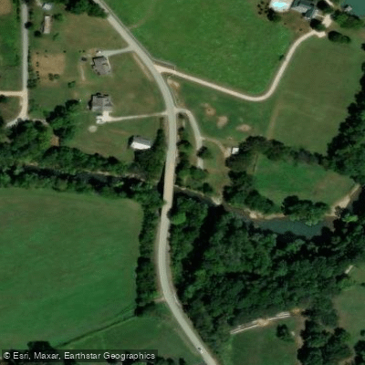
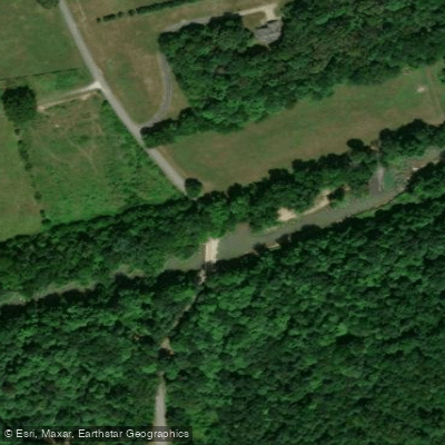
Access points are available at several bridges and parks along the creek's course. Popular put-ins include Sadler Ford Road and Romanza Johnson Park in Franklin, while common take-outs are located at Woody Atkinson Road and Phil Moore Park. The nearby town of Franklin serves as a convenient base for paddlers exploring the West Fork.
The creek is home to a variety of fish species, including smallmouth, largemouth, and rock bass, making it a popular destination for anglers. Wildlife enthusiasts can observe diverse fauna along the banks and in the surrounding woodlands.
Safety considerations include being prepared for small rapids and occasional deadfalls. Paddlers should check water levels before embarking, as conditions can vary significantly with rainfall. Local regulations should be observed, and life jackets are strongly recommended.
For those seeking a longer adventure, multi-day trips can be planned by combining sections of the West Fork with the main stem of Drakes Creek and potentially the Barren River. This allows paddlers to experience a broader range of Kentucky's beautiful waterways and ecosystems.
The West Fork Drakes Creek offers a perfect blend of scenic beauty, mild whitewater, and rich biodiversity, making it an excellent destination for paddlers of various skill levels looking to explore the natural wonders of Kentucky's waterways.
Curated routes
Hand-picked by the PaddleWays team, with put-ins, take-outs, paddle times and the hazards along the way.
RouteClass I–II
Hazards
No paddler has reported a hazard here yet, so these are the dams, falls and big rapids on our map. Hazards change with flows and storms, so check them before you launch.
From the community
Real trips from PaddleWays paddlers: which route they ran, how the flows were, and what to watch for.
Loading trip reports
Phillip R.
95 cfs at Franklin
Saddler Ford Boat Ramp to Woody Atkinson Road Boat Ramp
See exactly where the public can get on and off the river. Launch points and boat ramps are paired with PaddleWays' public land data so you know where you can legally land.
Public shoreline
2%of the river's shoreline is public
Most of the riverbank is private. Launch, land and camp only at public access points.
Flows, weather and a route-by-route verdict, so you know which stretch of the West Fork Drakes Creek is worth paddling today.
Live flows, marked hazards and fresh trip reports from paddlers who were just on the water, all in one place.





Every user gets free access to launch points, boat ramps, and public property parcels.
Loading popular cities...
PaddleWays gives you everything you need to plan smarter, paddle better, and own every trip from first launch to takeout.