Caleta Gonzalo
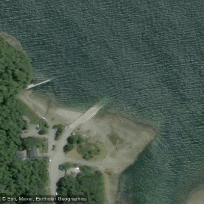
Caleta Gonzalo
Caleta Gonzalo is a small waterfront settlement on the Carretera Austral, situated about 92 kilometers south of Hornopirén in the Los Lagos Region.
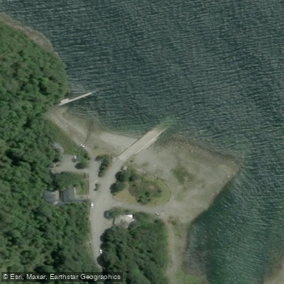
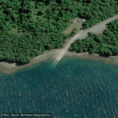
Its name reflects its function — "caleta" means fishing dock — and at its core is a landing ramp where ferries arrive after crossing the Reñihue fjord from Fiordo Largo.
This ramp serves as the northern gateway into Pumalin Douglas Tompkins National Park and marks the point where the Carretera Austral resumes for travelers heading south toward Chaitén.
The ferry connection linking Hornopirén to Caleta Gonzalo is a two-stage crossing: the first vessel travels through the Comau fjord to Leptepu, passengers then drive a short unpaved road to Fiordo Largo, and a second ferry completes the journey to the ramp at Caleta Gonzalo.
The total crossing takes roughly five hours. Cabins and a camping area are available in the Caleta Gonzalo sector, managed by a private concessionaire.
Nearby points of interest
Find excellent paddling spots, easy access to boat ramps, and all the amenities you need for a memorable day. Your adventure starts here.
Water and weather conditions (10 day forecast)
Check the forecast at Caleta Gonzalo before you go paddling.
No forecast data available.
Paddling near Caleta Gonzalo
Lago Huillinco
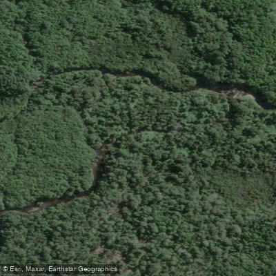
Río Bravo
Golfo Corcovado
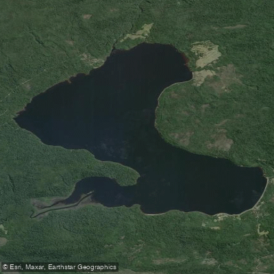
Lago Tepuhueico
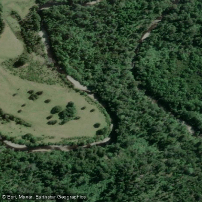
Río Negro
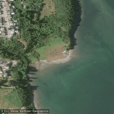
Playa Sabanilla
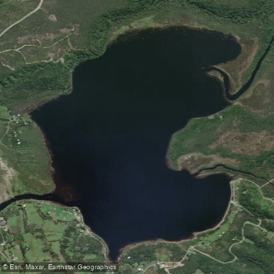
Lago Huelde
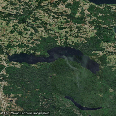
Lago Tarahuín
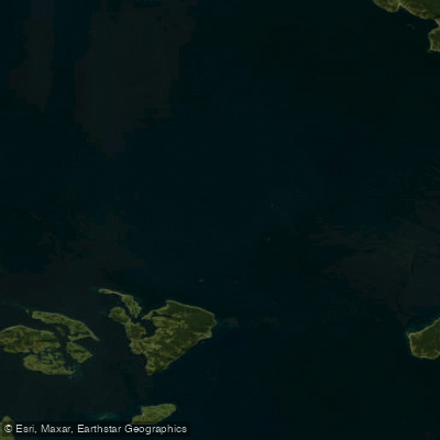
Golfo de Ancud
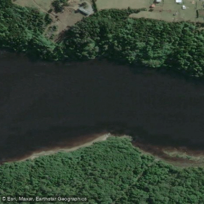
Río Chepu
Los Lagos licenses and regulations
Explore Los Lagos waters
Top paddling waters
No waters available right now.
Popular Cities
Loading popular cities...
Explore near Caleta Gonzalo

Smarter Paddling Starts in the App.
Paddleways gives you everything you need to plan smarter, paddle better, and own every trip from first launch to takeout.