Amite River
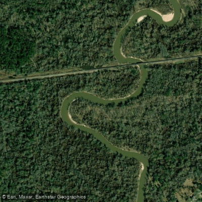
Amite River
- Boat Ramps
- 3
- Access Points
- 4
- Campsites
- 0
The Amite River originates in southwestern Mississippi and flows southward for approximately 117 miles through eastern Louisiana before emptying into Lake Maurepas. Its major tributary is the Comite River, which joins the Amite just north of Denham Springs. The river drains a watershed of over 2,000 square miles, encompassing parts of East Feliciana, East Baton Rouge, Livingston, and Ascension parishes.
The Amite offers diverse paddling opportunities, from leisurely flatwater sections to stretches with gentle Class I rapids. Popular day trips include the 22-mile segment from Airline Highway to Magnolia Bridge and the 10-mile Blackwater to Frenchtown run. The river is suitable for novice to intermediate paddlers, with mostly flatwater punctuated by occasional riffles and sandbars.
Spring and fall are ideal paddling seasons, when water levels are typically moderate and temperatures pleasant. Summer trips are possible but require caution due to heat and potential low water. The river's sandy bottom creates excellent camping opportunities on sandbars, making multi-day adventures feasible.
Wildlife enthusiasts can spot alligators, turtles, herons, and a variety of fish species. The corridor supports a mix of hardwood forests and cypress-tupelo swamps, offering scenic vistas and shade.
Key landmarks include the historic Port Vincent, founded in the late 18th century, and the confluence with the Comite River. Popular access points are found at Airline Highway, Magnolia Bridge, and Frenchtown Road Conservation Area near Baton Rouge.
The Amite played a significant role in early settlement and commerce of the region. Today, it serves as an important recreational resource for the greater Baton Rouge area while also presenting flood management challenges.
Paddlers should be aware of potential logjams, especially after high water events. Hunting seasons may affect accessibility in some areas. For longer journeys, the river connects to Lake Maurepas, offering extended trip options to more adventurous paddlers.
When planning an Amite River excursion, always check current water levels and weather forecasts. Respect private property along the banks and practice Leave No Trace principles to preserve this valuable natural corridor for future generations.
Water access, boat ramps & amenities
Learn how to get on Amite River. Uncover great paddling access points, boat ramps, and all the facilities you need for an unforgettable day on the water. Some locations shown may border or include private property. Always check property boundaries and applicable regulations before visiting. PaddleWays's Public & Private Land layer can help you plan your access with confidence.
Paddle smarter with real-time insights
Whether you're en route and conditions shift or you're looking for the best spot based on current flows, we enable you to make informed decisions on the fly.








Find Places to Paddle

Over 400,000 Places to Paddle
Every user gets free access to launch points, boat ramps, and public property parcels.


Water and weather conditions (10 day forecast)
See the best times to paddle Amite River and check the forecast before you go.
Amite River near Darlington, LA
All Flow Stations
Paddling near Amite River
Mississippi River
Petite Amite River
False River
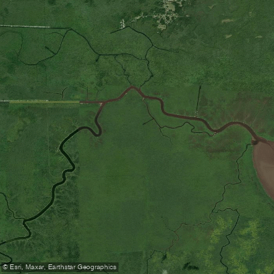
Blind River
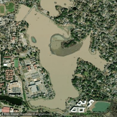
University Lake
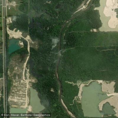
Tangipahoa River
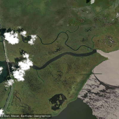
Pass Manchac
Tickfaw River
Explore Louisiana waters
Top paddling waters
Popular Cities
Loading popular cities...
Explore near Amite River
Access points
- Amite Comite River Confluence Hand Launch
- Fred's on the River Boat Ramp
- Marina Boat Ramp
- Big John's Landing Boat Ramp
- Amite River Access
- Amite River @ Felixville Bridge
- Amite River Rel Bridge
- Amite River @ Clio Bridge
- Arthur Slough Bridge
- Amite River-french Smen Bridge
- Amite River @ Pvincent Bridge
- Amite River @ Darlington Bridge
- All 285 spots
Nearby waters
More in Louisiana

Smarter Paddling Starts in the App.
Paddleways gives you everything you need to plan smarter, paddle better, and own every trip from first launch to takeout.