Tangipahoa River
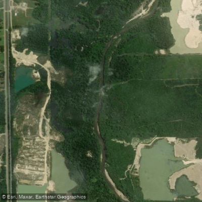
Tangipahoa River
- Boat Ramps
- 1
- Access Points
- 3
- Campsites
- 4
The Tangipahoa River is a scenic waterway that flows through southeastern Louisiana and southwestern Mississippi. Originating near McComb, Mississippi, the river runs southward for 122 miles before emptying into Lake Pontchartrain in Louisiana. This clear, long river provides over 30 miles of enjoyable paddling through picturesque wilderness areas. Popular paddling sections include Carpenters Landing to Highway 22 (7 miles), Highway 22 to Lee's Landing (5.91 miles), and Serenity Sands Campground to Hidden Oaks Campground (18 miles).
The river offers a range of difficulties, from flatwater sections suitable for beginners to Class II rapids that require intermediate skills. Most sections feature a typical South Louisiana landscape with undeveloped riverbanks, providing excellent opportunities for wildlife viewing. The Tangipahoa is best paddled in spring and fall when water levels are optimal. Summer can be hot but still enjoyable, while winter paddling is possible during milder periods.
Paddlers can expect to see a variety of waterfowl, wading birds, and possibly alligators. The riverbanks are lined with cypress, tupelo, and other native trees, creating a lush, green corridor. Key access points include Carpenters Landing, Highway 22, Lee's Landing, Serenity Sands Campground, and Hidden Oaks Campground. The nearby town of Independence, Louisiana, serves as a convenient base for river trips.
For those seeking a longer adventure, multi-day trips can be arranged by combining different sections of the river. Historically, the Tangipahoa River played a role in the development of the region, serving as a transportation route and supporting local communities. Today, it's primarily valued for its recreational opportunities and natural beauty.
Safety considerations include being aware of water levels, which can change rapidly after heavy rains, and watching for submerged obstacles or strainers. Paddlers should also be prepared for the possibility of encountering wildlife and should practice Leave No Trace principles to preserve the river's pristine condition.
The Tangipahoa River offers a perfect blend of accessibility and wilderness experience, making it a favorite among Louisiana paddlers. Whether you're looking for a short day trip or a multi-day adventure, the Tangipahoa provides a quintessential Southern river experience.
Water access, boat ramps & amenities
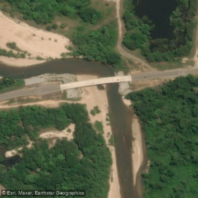
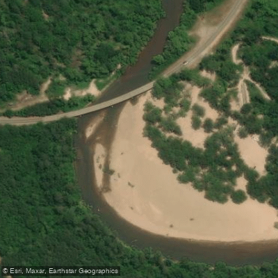
Learn how to get on Tangipahoa River. Uncover great paddling access points, boat ramps, and all the facilities you need for an unforgettable day on the water. Some locations shown may border or include private property. Always check property boundaries and applicable regulations before visiting. PaddleWays's Public & Private Land layer can help you plan your access with confidence.
Paddle smarter with real-time insights
Whether you're en route and conditions shift or you're looking for the best spot based on current flows, we enable you to make informed decisions on the fly.








Find Places to Paddle

Over 400,000 Places to Paddle
Every user gets free access to launch points, boat ramps, and public property parcels.


Water and weather conditions (10 day forecast)
See the best times to paddle Tangipahoa River and check the forecast before you go.
Tangipahoa River near Kentwood, LA
All Flow Stations
Paddling near Tangipahoa River
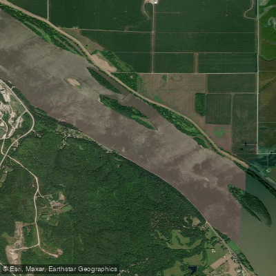
Mississippi River
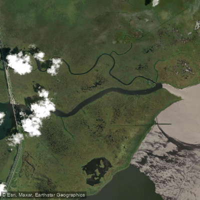
Pass Manchac

Pearl River
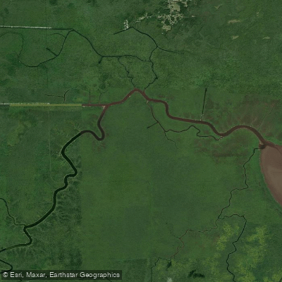
Blind River
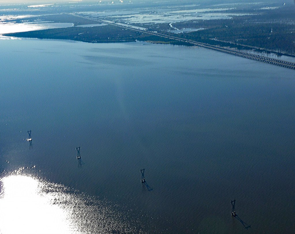
Lake Maurepas
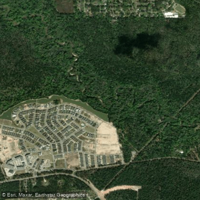
Tchefuncte River
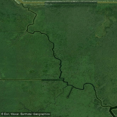
Petite Amite River
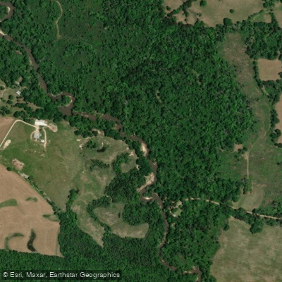
Tickfaw River
Explore Louisiana waters
Top paddling waters
Popular Cities
Loading popular cities...
Explore near Tangipahoa River
Access points
Nearby waters
More in Louisiana

Smarter Paddling Starts in the App.
Paddleways gives you everything you need to plan smarter, paddle better, and own every trip from first launch to takeout.