Tickfaw River
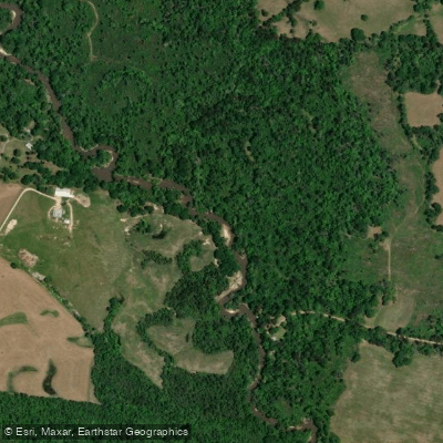
Tickfaw River
- Boat Ramps
- 1
- Access Points
- 2
- Campsites
- 4
The Tickfaw River originates in southwestern Mississippi and flows southward into Louisiana, eventually emptying into Lake Maurepas. This blackwater river meanders through pine forests and cypress-tupelo swamps, draining a watershed of approximately 750 square miles. The Tickfaw offers diverse paddling opportunities, from serene flatwater stretches to more challenging sections with occasional obstacles.
Tickfaw State Park provides an excellent starting point for exploration, with a 1.5-2 mile loop trail through picturesque cypress swamps before connecting to the main river channel. For a longer journey, paddlers can continue downstream from Highway 22 to Lake Maurepas, an 8-10 mile trip showcasing the river's transition from narrow, tree-lined passages to expansive lake views.
Most sections of the Tickfaw are suitable for beginner to intermediate paddlers, with flatwater conditions predominating. However, fallen trees and submerged obstacles may require basic maneuvering skills, especially after storms. The river is best paddled during cooler months, typically October through April, when water levels are optimal and insects are less prevalent.
The Tickfaw's ecosystem supports a rich array of wildlife, including alligators, turtles, herons, and numerous fish species. Paddlers may spot white-tailed deer along the banks or hear the distinctive call of barred owls echoing through the swamp.
Key landmarks include the boardwalks and nature trails of Tickfaw State Park, offering opportunities to explore the surrounding wetlands on foot. The river's confluence with Lake Maurepas marks a dramatic shift in scenery and paddling conditions.
Primary access points include Tickfaw State Park near Springfield, the Highway 22 crossing, and various points along the lower river near Lake Maurepas. The nearby town of Springfield provides amenities for paddlers.
Historically, the Tickfaw River played a role in the timber industry and served as a transportation route for early settlers. Today, it remains an important ecological and recreational resource for the region.
Paddlers should be aware of potential logjams, especially in the upper reaches, and exercise caution during periods of high water. Respect private property along the banks and be prepared for limited cell phone coverage in some areas.
For those seeking a multi-day adventure, it's possible to paddle from Tickfaw State Park to Lake Maurepas and beyond to Pass Manchac, a journey of approximately 20 miles that showcases the full range of the river's environments, from intimate swamp passages to open lake paddling.
Water access, boat ramps & amenities
Learn how to get on Tickfaw River. Uncover great paddling access points, boat ramps, and all the facilities you need for an unforgettable day on the water. Some locations shown may border or include private property. Always check property boundaries and applicable regulations before visiting. PaddleWays's Public & Private Land layer can help you plan your access with confidence.
Paddle smarter with real-time insights
Whether you're en route and conditions shift or you're looking for the best spot based on current flows, we enable you to make informed decisions on the fly.








Find Places to Paddle

Over 400,000 Places to Paddle
Every user gets free access to launch points, boat ramps, and public property parcels.


Water and weather conditions (10 day forecast)
See the best times to paddle Tickfaw River and check the forecast before you go.
Tickfaw River at Holden, LA
All Flow Stations
Paddling near Tickfaw River
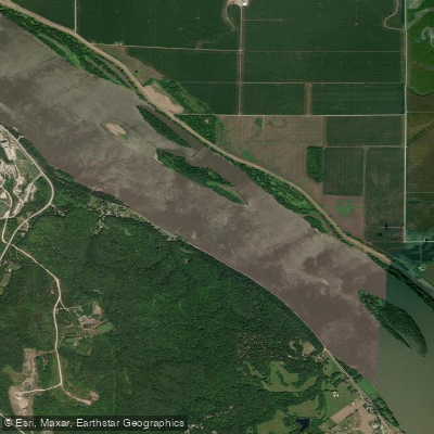
Mississippi River
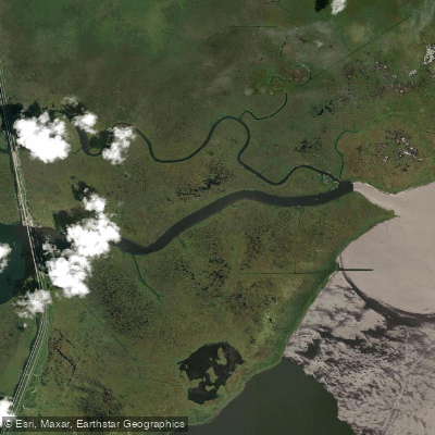
Pass Manchac

Pearl River
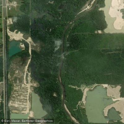
Tangipahoa River
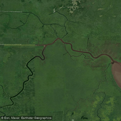
Blind River
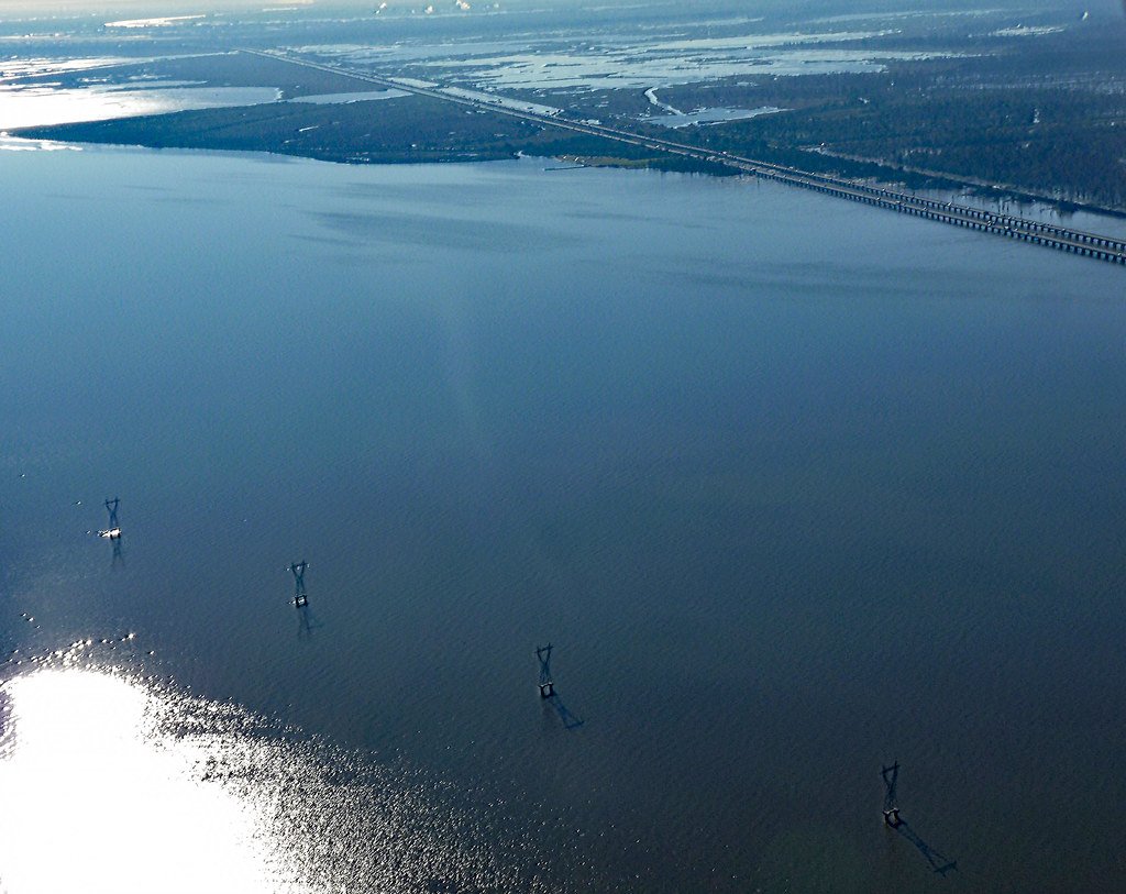
Lake Maurepas
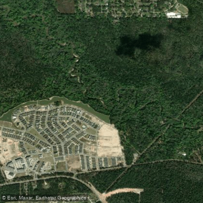
Tchefuncte River
Petite Amite River
Explore Louisiana waters
Top paddling waters
Popular Cities
Loading popular cities...
Explore near Tickfaw River
Access points
Nearby waters
More in Louisiana

Smarter Paddling Starts in the App.
Paddleways gives you everything you need to plan smarter, paddle better, and own every trip from first launch to takeout.