Pass Manchac
- Saltwater
- Pass
Pass Manchac
- Saltwater
- Pass
- Sq. miles
- 1.2
- Boat Ramps
- 0
- Access Points
- 0
- Campsites
- 0
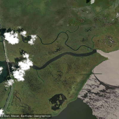
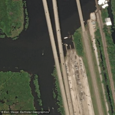
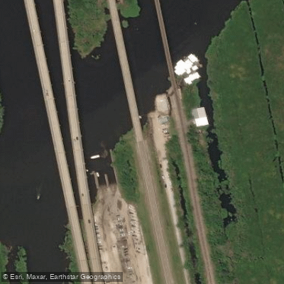
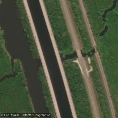
Pass Manchac is a coastal tidal channel connecting Lake Maurepas to Lake Pontchartrain in southeastern Louisiana. The primary access point for paddlers is the large, multi-lane North Pass boat launch located off Interstate 55, which features a dedicated low platform for kayak and canoe boarding. An alternative, smaller launch site is located a few miles south on the highway, requiring paddlers to park on the shoulder and carefully cross a busy road. The pass itself is approximately seven miles long, with its western end near Lake Maurepas being very wide and exposed to wind and sun before narrowing somewhat after about a mile and a half. The water is brackish, flowing through a cypress-tupelo swamp landscape with Spanish moss-draped trees.
Paddling conditions are heavily influenced by wind and tide. The wide, open sections of the pass offer little protection, and winds can funnel through the channel, creating significant chop and complicating paddling and self-rescue. Tidal flow can be strong, with fast-moving water during flood tides. The pass connects two large lakes, so wind fetch from either Lake Maurepas or Lake Pontchartrain can generate rough conditions, especially in the wider sections. Boat traffic is a consideration, particularly on summer weekends and near the developed eastern end where the pass merges with South Pass and enters Lake Pontchartrain; paddlers should exercise caution, especially when crossing or navigating near the main channel.
Recommended trips include exploring the network of bayous feeding into the pass, such as Owl Bayou near the launch, or undertaking the full seven-mile journey east to Lake Pontchartrain, which is a full-day trip of roughly 16 miles round-trip. Spring and fall are ideal seasons, and weekday trips are advised to avoid heavy boat traffic. The area is part of the Manchac Wildlife Management Area, rich with wildlife including alligators, great blue herons, egrets, bald eagles, and nutria. There are no facilities or restrooms at the launch sites, so paddlers must plan accordingly. Securing all gear, especially items like phones and keys in dry bags tethered to the boat, is strongly recommended due to the challenging conditions.
Water access, boat ramps & amenities
Learn how to get on Pass Manchac. Uncover great paddling access points, boat ramps, and all the facilities you need for an unforgettable day on the water. Some locations shown may border or include private property. Always check property boundaries and applicable regulations before visiting. PaddleWays's Public & Private Land layer can help you plan your access with confidence.
Paddle smarter with real-time insights
Whether you're en route and conditions shift or you're looking for the best spot based on current flows, we enable you to make informed decisions on the fly.








Find Places to Paddle

Over 400,000 Places to Paddle
Every user gets free access to launch points, boat ramps, and public property parcels.


Tides, wind & water conditions (10 day forecast)
On open water, wind and tide matter as much as the weather. See the best times to paddle Pass Manchac and check the marine forecast before you launch.
Loading tide predictions…
Paddling near Pass Manchac
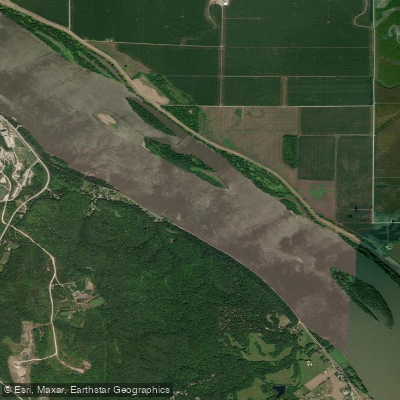
Mississippi River

Pearl River
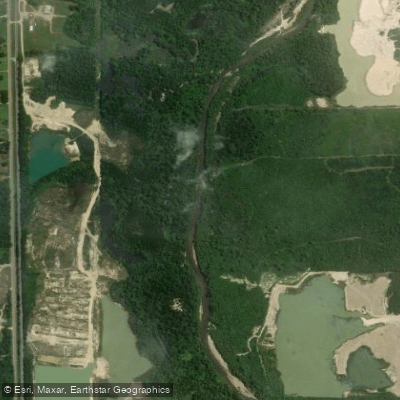
Tangipahoa River
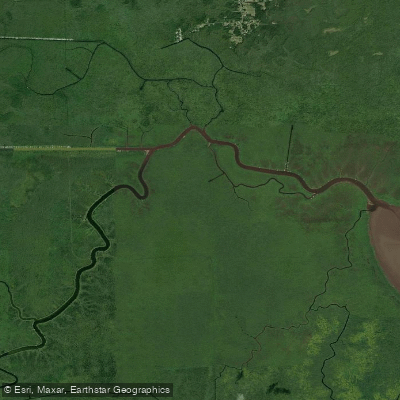
Blind River
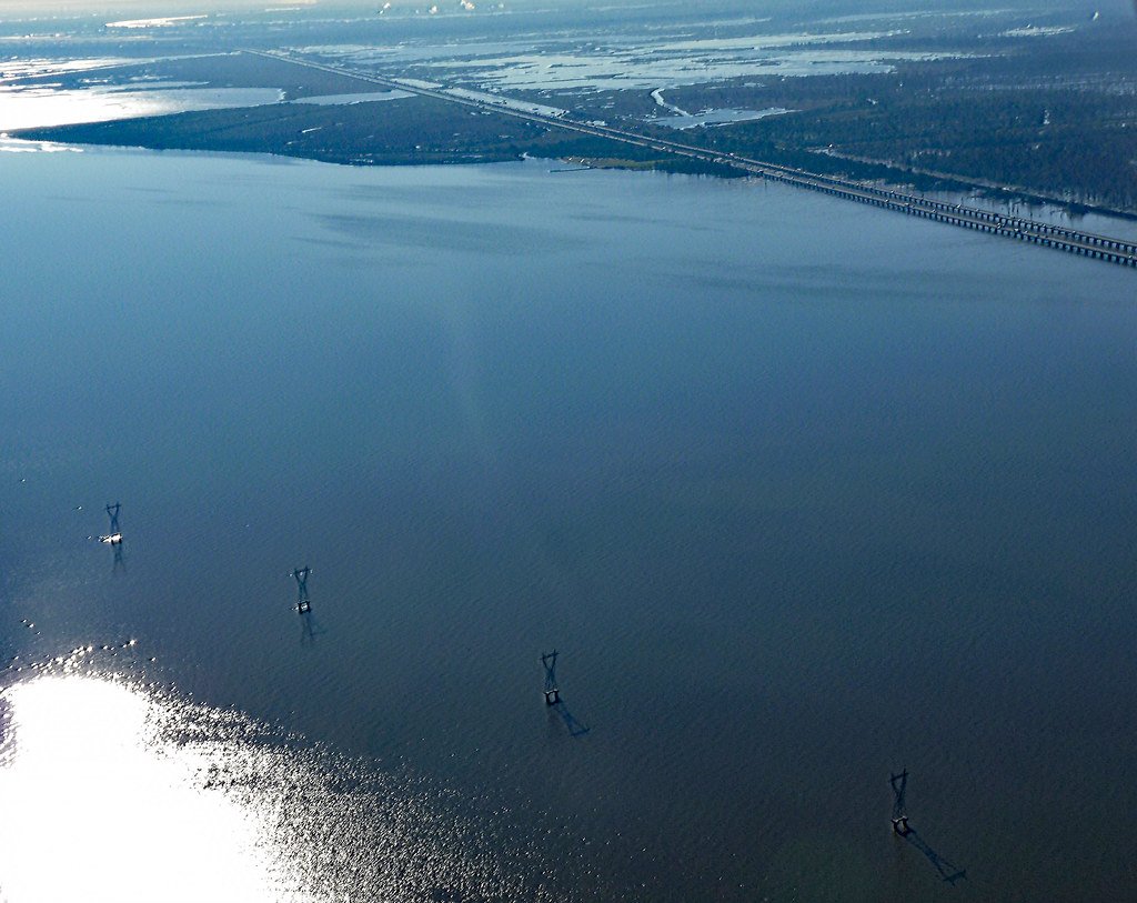
Lake Maurepas
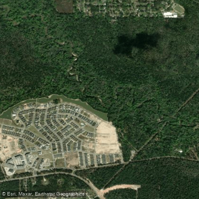
Tchefuncte River
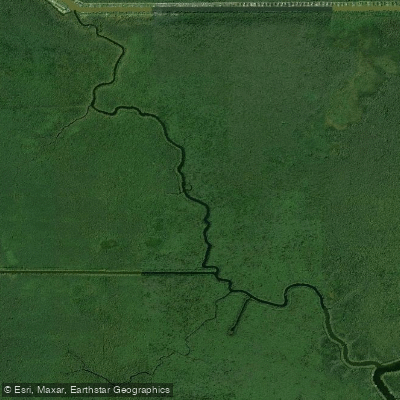
Petite Amite River
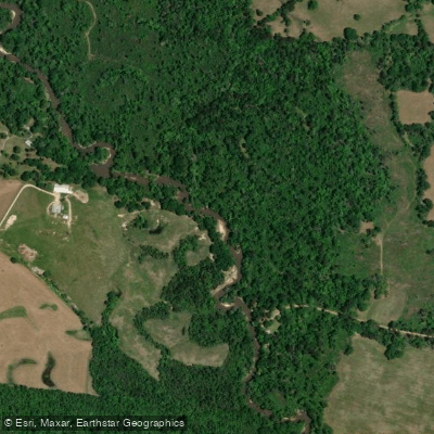
Tickfaw River
Explore Louisiana waters
Top paddling waters
Popular Cities
Loading popular cities...
Explore near Pass Manchac

Smarter Paddling Starts in the App.
Paddleways gives you everything you need to plan smarter, paddle better, and own every trip from first launch to takeout.