Avondale Bend
- Saltwater
- Sea area
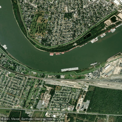
Avondale Bend
- Saltwater
- Sea area
- Sq. miles
- 0.4
- Boat Ramps
- 0
- Access Points
- 0
- Campsites
- 1
Avondale Bend is a pronounced meander on the Lower Mississippi River near Harahan, Louisiana, positioned at approximate river mile 110. The paddling experience here is characterized by a notable contrast between industrial activity and natural scenery. As paddlers enter the bend from the upriver Kenner reach, the immediate industrial landscape gives way to a long, tree-lined section on both banks, creating what is locally the "river illusion" of a secluded, wooded waterway. This peaceful sensation is facilitated by a thin strip of batture woods, particularly along the left descending bank, which provides a visual buffer. This tranquility is temporary, as the Chemical Corridor with its refineries and industrial facilities resumes shortly downstream. The bend is a major commercial navigation channel, hosting constant and heavy barge and ship traffic, including large tankers and towboats with extensive tows. A significant collision between a towboat and a tanker occurred here recently, highlighting the challenging and congested conditions. The Coast Guard has authority to close the bend to all traffic following incidents, as it did for salvage operations after that collision. For paddlers, the primary access and egress points are informal and limited to the riverbanks themselves within the greenspaces. The last remote camping or picnicking opportunities above New Orleans are found on small, narrow sand dunes and shelves along the inside of the bend at Twelve Mile Point on the east bank, but these are only viable during low to medium water levels on the river. There are no formal boat launches, amenities, or facilities specifically for paddlers within the bend itself. Paddlers must be prepared for significant commercial vessel traffic, variable river conditions, and the potential for sudden closures of the waterway.
Water access, boat ramps & amenities
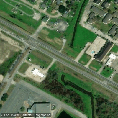
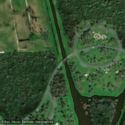
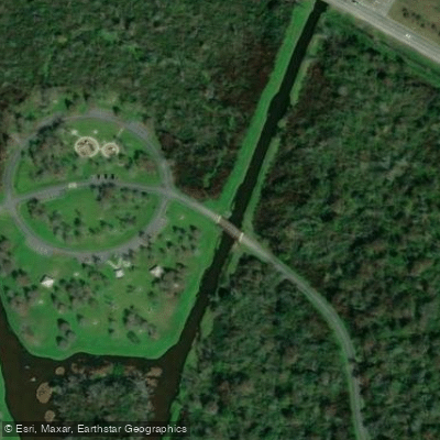
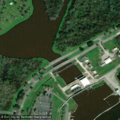
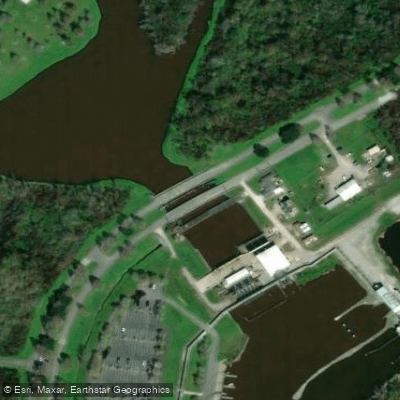
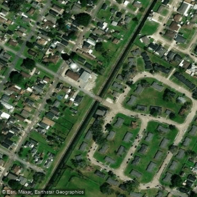
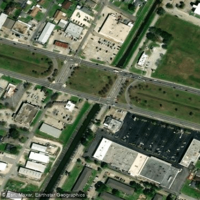
Learn how to get on Avondale Bend. Uncover great paddling access points, boat ramps, and all the facilities you need for an unforgettable day on the water. Some locations shown may border or include private property. Always check property boundaries and applicable regulations before visiting. PaddleWays's Public & Private Land layer can help you plan your access with confidence.
Paddle smarter with real-time insights
Whether you're en route and conditions shift or you're looking for the best spot based on current flows, we enable you to make informed decisions on the fly.








Find Places to Paddle

Over 400,000 Places to Paddle
Every user gets free access to launch points, boat ramps, and public property parcels.


Tides, wind & water conditions (10 day forecast)
On open water, wind and tide matter as much as the weather. See the best times to paddle Avondale Bend and check the marine forecast before you launch.
Loading tide predictions…
Paddling near Avondale Bend

Mississippi River
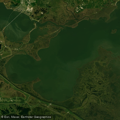
Lake Borgne

Pearl River
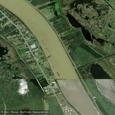
Mississippi River
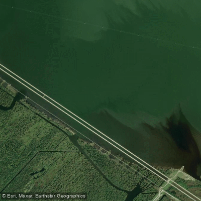
Bonnet Carre Floodway
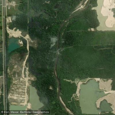
Tangipahoa River
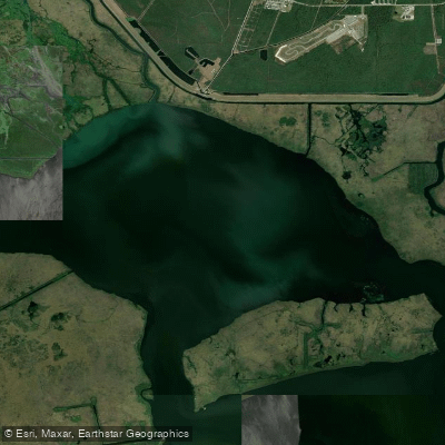
Lake Cataouatche
Tchefuncte River
Explore Louisiana waters
Top paddling waters
Popular Cities
Loading popular cities...
Explore near Avondale Bend
Access points
Nearby waters
More in Louisiana

Smarter Paddling Starts in the App.
Paddleways gives you everything you need to plan smarter, paddle better, and own every trip from first launch to takeout.