Bonnet Carre Floodway
- Saltwater
- Bay
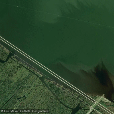
Bonnet Carre Floodway
- Saltwater
- Bay
- Sq. miles
- 0.6
- Boat Ramps
- 0
- Access Points
- 0
- Campsites
- 1
The Bonnet Carre Floodway is a coastal spillway and flood control structure in Louisiana, designed to shunt Mississippi River floodwaters into Lake Pontchartrain. For paddlers, this creates a complex, primarily saltwater or brackish environment connected to the lake via canals like Barbars Canal. The area is part of a larger wetland system, offering flatwater paddling through backswamp areas and canals. The floodway itself contains approximately 3,500 acres of land and water for public recreational use, including boating. Access points are not explicitly detailed, though a popular boat launch is located approximately 75 km downriver from the floodway, suggesting launches exist in the broader region. The water body is influenced by tides from Lake Pontchartrain, with a NOAA tide station (I-10 Bonnet Carre Floodway, Station 8762483) recording a very small mean tidal range of about 0.6 feet. Tides here are diurnal, meaning a single high and low tide most days. Paddlers should be aware that the area is used for hunting waterfowl and other related sports, which may present a seasonal hazard. The St. Charles Wetland, bounded in part by the Bonnet Carre Spillway, is an excellent recreational area for boating and nature study, featuring abundant wildlife. The surrounding landscape holds historical and archaeological significance, with sites like the Trepagnier Site and references to the German Coast Settlement. The aesthetic is that of a Louisiana coastal wetland, with scenic driving routes like the Great River Road passing nearby. The connection to Lake Pontchartrain via Barbars Canal suggests potential for longer journeys. Facilities are limited, with the area offering opportunities for primitive camping and picnicking alongside boating.
Water access, boat ramps & amenities
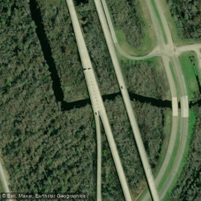
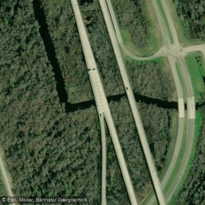
Learn how to get on Bonnet Carre Floodway. Uncover great paddling access points, boat ramps, and all the facilities you need for an unforgettable day on the water. Some locations shown may border or include private property. Always check property boundaries and applicable regulations before visiting. PaddleWays's Public & Private Land layer can help you plan your access with confidence.
Paddle smarter with real-time insights
Whether you're en route and conditions shift or you're looking for the best spot based on current flows, we enable you to make informed decisions on the fly.








Find Places to Paddle

Over 400,000 Places to Paddle
Every user gets free access to launch points, boat ramps, and public property parcels.


Tides, wind & water conditions (10 day forecast)
On open water, wind and tide matter as much as the weather. See the best times to paddle Bonnet Carre Floodway and check the marine forecast before you launch.
Loading tide predictions…
Paddling near Bonnet Carre Floodway

Mississippi River
Lake Borgne

Pearl River
Mississippi River
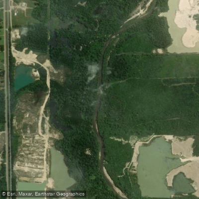
Tangipahoa River
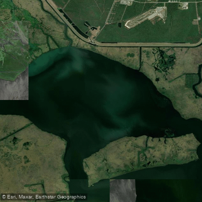
Lake Cataouatche
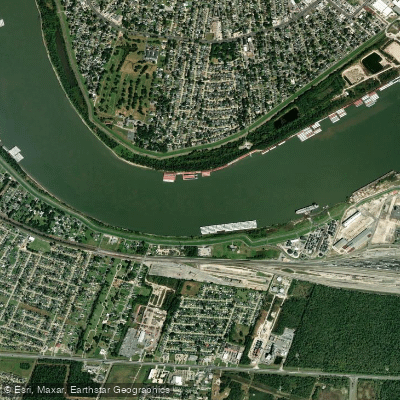
Avondale Bend
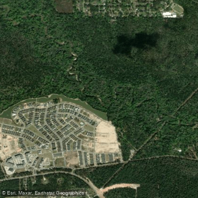
Tchefuncte River
Explore Louisiana waters
Top paddling waters
Popular Cities
Loading popular cities...
Explore near Bonnet Carre Floodway
Access points
Nearby waters
More in Louisiana

Smarter Paddling Starts in the App.
Paddleways gives you everything you need to plan smarter, paddle better, and own every trip from first launch to takeout.