Bayou Teche
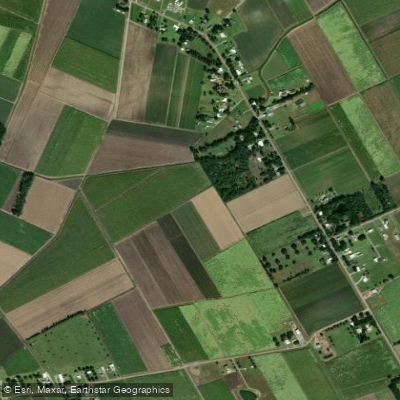
Bayou Teche
- Boat Ramps
- 8
- Access Points
- 8
- Campsites
- 0
Bayou Teche is a 135-mile long waterway that winds through the heart of Louisiana's Cajun country. This historic bayou begins in Port Barre and flows southward through St. Landry, St. Martin, Iberia, and St. Mary parishes before reaching its terminus in Berwick. Once the main channel of the Mississippi River, Bayou Teche now offers a serene paddling experience through a rich cultural landscape.
The Bayou Teche National Paddle Trail provides excellent opportunities for paddlers of all skill levels. The upper stretches from Port Barre to St. Martinville are particularly suitable for families and novice paddlers, featuring calm waters and easy access points. More experienced paddlers can tackle the full 135-mile journey, which typically takes several days to complete. The trail is classified as flatwater, making it accessible year-round. However, spring and fall offer the most comfortable temperatures and vibrant scenery. Paddlers should be aware that water flow can vary, with some sections near Franklin flowing both ways and upstream paddling required after the Charenton Canal.
Bayou Teche's ecosystem is teeming with life. Paddlers can expect to see a diverse array of wildlife, including wood ducks, herons, kingfishers, and even bald eagles. The landscape features iconic Louisiana flora such as water hyacinth, Louisiana iris, live oak, and bald cypress trees.
Key landmarks along the trail include the towns of Leonville, Arnaudville, Breaux Bridge, St. Martinville, New Iberia, and Franklin. Each offers a glimpse into the rich Cajun culture and history of the region. Paddlers will also encounter the Keystone Lock & Dam in St. Martinville and the Wax Lake Outlet/Calumet Cut in St. Mary Parish.
Access points are plentiful, with many towns along the route offering boat launches and camping facilities. Port Barre serves as the primary put-in point, while Patterson is recommended as the safest take-out location at the trail's end.
The Bayou Teche holds immense historical and cultural significance. It played a crucial role in the settlement of the region and remains central to Cajun culture. The name Teche comes from the Chitimacha word for snake, reflecting the bayou's winding path.
Safety considerations include being aware of occasional boat traffic and watching for submerged obstacles. Paddlers should also be prepared for limited cell phone coverage in some areas and carry appropriate safety equipment.
For those seeking a multi-day adventure, the full trail can be completed in 6-8 days, with numerous towns offering overnight accommodations or camping options. This allows paddlers to fully immerse themselves in the natural beauty and cultural richness of Bayou Teche.
Water access, boat ramps & amenities
Learn how to get on Bayou Teche. Uncover great paddling access points, boat ramps, and all the facilities you need for an unforgettable day on the water. Some locations shown may border or include private property. Always check property boundaries and applicable regulations before visiting. PaddleWays's Public & Private Land layer can help you plan your access with confidence.
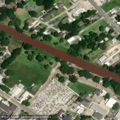
Parc des Ponts Breaux Teche Boat Ramp
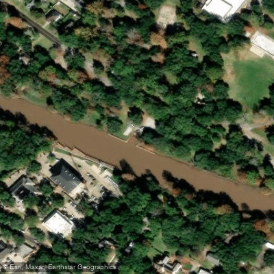
New Iberia City Park Boat Ramp
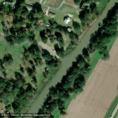
Saint Martinville City Park Boat Ramp
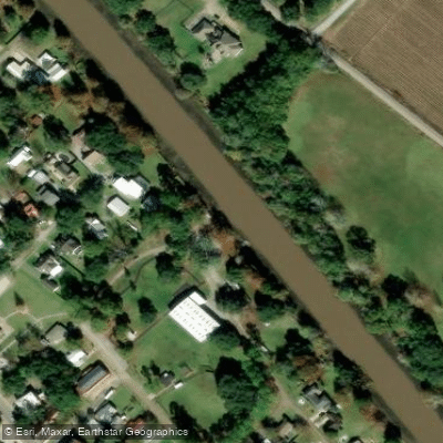
Jeanerette Park Bayou Teche Boat Ramp
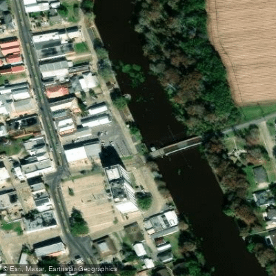
Bayou Teche Boat Ramp
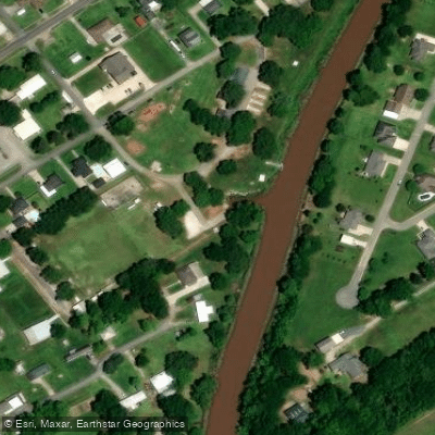
Bayou Teche Boat Ramp
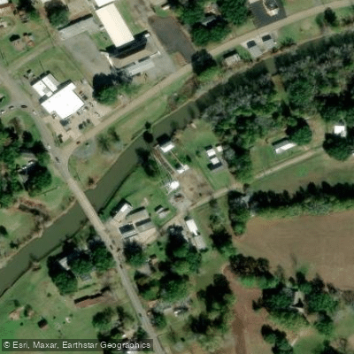
Bayou Teche Boat Ramp
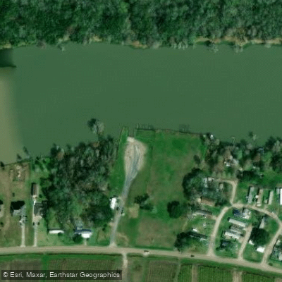
Jesse B Hayes Jr. Memorial Boat Rmap
Paddle smarter with real-time insights
Whether you're en route and conditions shift or you're looking for the best spot based on current flows, we enable you to make informed decisions on the fly.








Find Places to Paddle

Over 400,000 Places to Paddle
Every user gets free access to launch points, boat ramps, and public property parcels.


Water and weather conditions (10 day forecast)
See the best times to paddle Bayou Teche and check the forecast before you go.
BAYOU TECHE @ ARNAUDVILLE, LA
All Flow Stations
Paddling near Bayou Teche

Mississippi River
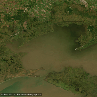
Vermilion Bay
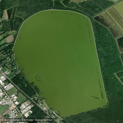
Spanish Lake
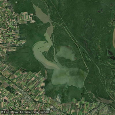
Lake Fausse Pointe
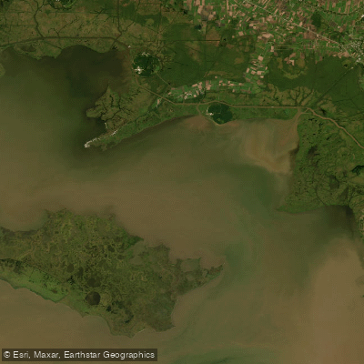
West Cote Blanche Bay
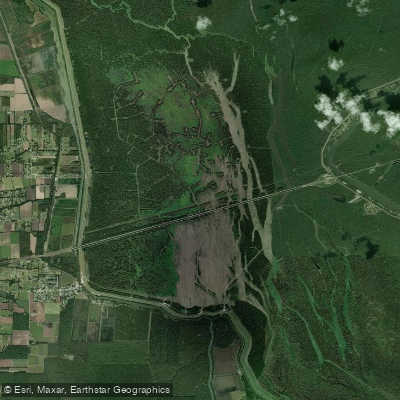
Lake Bigeux
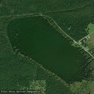
Lake la Pointe
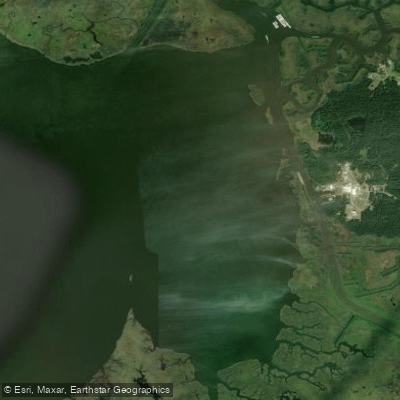
Weeks Bay
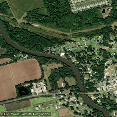
Vermilion River
Explore Louisiana waters
Top paddling waters
Popular Cities
Loading popular cities...
Explore near Bayou Teche
Access points
- Parc des Ponts Breaux Teche Boat Ramp
- New Iberia City Park Boat Ramp
- Saint Martinville City Park Boat Ramp
- Jeanerette Park Bayou Teche Boat Ramp
- Bayou Teche Boat Ramp
- Bayou Teche Boat Ramp
- Bayou Teche Boat Ramp
- Jesse B Hayes Jr. Memorial Boat Rmap
- Bayou Teche Bridge
- Bayou Teche Bridge
- Bayou Teche Bridge
- Bayou Teche Bridge
- All 187 spots
Nearby waters
More in Louisiana

Smarter Paddling Starts in the App.
Paddleways gives you everything you need to plan smarter, paddle better, and own every trip from first launch to takeout.