Lake la Pointe
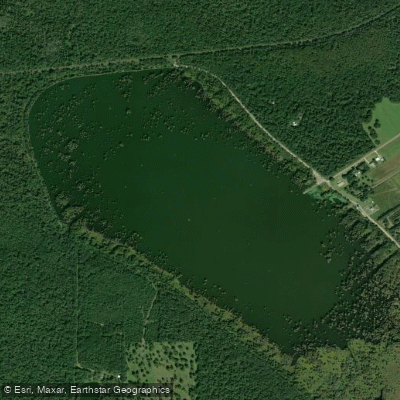
Lake la Pointe
- Boat Ramps
- 1
- Access Points
- 2
- Campsites
- 0
Lake Martin (formerly known as Lake la Pointe) is a 765-acre naturally occurring body of water within a cypress-tupelo swamp in St. Martin Parish.
The lake consists of approximately 200 acres of open water surrounded by permanently flooded cypress-tupelo swamp.
Located in the heart of Acadian Louisiana, it sits within The Nature Conservancy's Cypress Island Preserve, which protects almost 10,000 acres of bottomland hardwood forest habitat. The lake operates under a managed water system.
Historically, it would fill each fall and winter with rainwater and backwater from the Vermilion River and Bayou Teche, then drain gradually through spring and become essentially dry in summer.
In the early 1950s, a five-mile levee was constructed around the lake to hold water year-round.
A water control structure installed in 2001 allows for annual drawdowns in late fall after nesting birds leave, with a pump station on the north end enabling refilling from the adjacent Ruth Canal when winter rainfall is insufficient.
Wildlife viewing opportunities are exceptional, particularly for waterbirds.
Lake Martin serves as a nationally significant waterbird rookery and popular spring nesting spot for herons, egrets, neotropic cormorants, roseate spoonbills, white ibis, and anhingas. Some species remain at the lake year-round.
The area is designated as part of the Lake Martin Important Bird Area. Access is available through The Nature Conservancy's Cypress Island Visitor Center, located at 1264 Prairie Hwy. , St. Martinville, LA 70582.
From Lafayette, take LA-94 E/Carmel Drive to LA-353 E/Lake Martin Road, turn right, and drive approximately 5. 2 miles to the visitor center.
The facility offers restroom facilities, parking, family-friendly exhibits, and a small visitor center with boardwalk at the south end of the lake. A 2. 5-mile levee walking trail is open from fall to spring.
Property around Lake Martin remains entirely private, with public use of surrounding woodlands restricted to identified trails and by permission only.
Water access, boat ramps & amenities
Learn how to get on Lake la Pointe. Uncover great paddling access points, boat ramps, and all the facilities you need for an unforgettable day on the water. Some locations shown may border or include private property. Always check property boundaries and applicable regulations before visiting. PaddleWays's Public & Private Land layer can help you plan your access with confidence.
Paddle smarter with real-time insights
Whether you're en route and conditions shift or you're looking for the best spot based on current flows, we enable you to make informed decisions on the fly.








Find Places to Paddle

Over 400,000 Places to Paddle
Every user gets free access to launch points, boat ramps, and public property parcels.


Water and weather conditions (10 day forecast)
See the best times to paddle Lake la Pointe and check the forecast before you go.
No forecast data available.
Paddling near Lake la Pointe
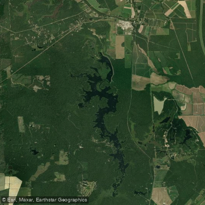
Lake Chicot

Mississippi River
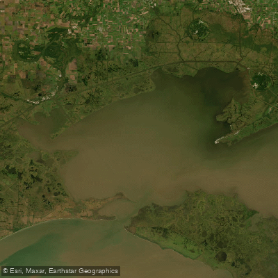
Vermilion Bay
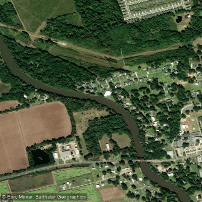
Vermilion River
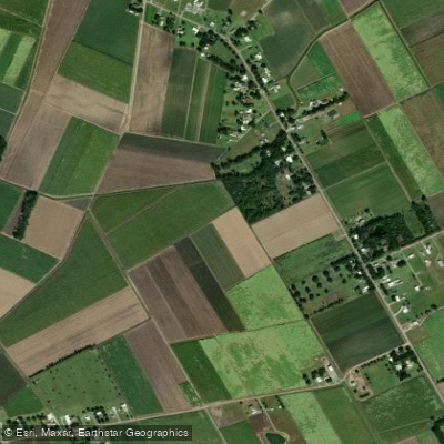
Bayou Teche
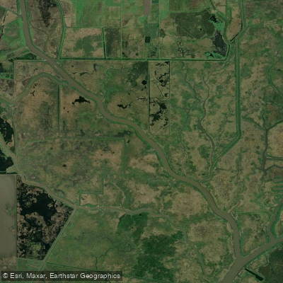
Bayou Carlin
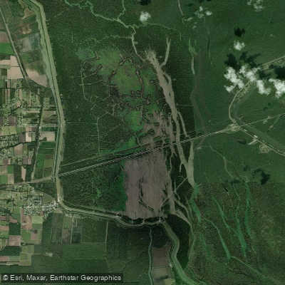
Lake Bigeux
Weeks Bay
Spanish Lake
Explore Louisiana waters
Top paddling waters
Popular Cities
Loading popular cities...
Explore near Lake la Pointe
Access points
Nearby waters
More in Louisiana

Smarter Paddling Starts in the App.
Paddleways gives you everything you need to plan smarter, paddle better, and own every trip from first launch to takeout.