Vermilion River
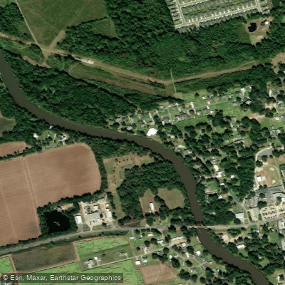
Vermilion River
- Boat Ramps
- 8
- Access Points
- 8
- Campsites
- 0
The Vermilion River, also known as Bayou Vermilion, is a 70-mile long waterway in south-central Louisiana. It originates in Cajun Prairie country near Opelousas and flows southward through Lafayette Parish before emptying into Vermilion Bay on the Gulf of Mexico. The river's main tributary is Bayou Fusilier, which joins near Carencro.
The Vermilion offers paddlers a unique journey through the heart of Cajun country, with opportunities ranging from short day trips to multi-day adventures. The Lafayette Parish Paddle Trail provides a series of well-maintained access points for exploring the river's diverse ecosystems. Paddling difficulty is generally flatwater, suitable for beginners to intermediate paddlers. The river's flow is gentle, with occasional mild current. Seasonal patterns affect water levels, with spring typically offering optimal conditions. Summer paddling is popular but requires sun protection and hydration awareness.
The river corridor supports a rich bottomland hardwood forest ecosystem where it meets Lafayette's upland forests. Paddlers may encounter wildlife like herons, egrets, turtles, and even the occasional alligator. Bald cypress and water oak trees line the banks in many areas.
Key landmarks include Vermilionville, a living history museum showcasing Acadian culture, and the Acadiana Park Nature Station, which offers educational programs. The historic town of Lafayette provides numerous cultural attractions along the river.
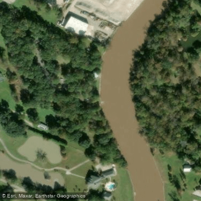
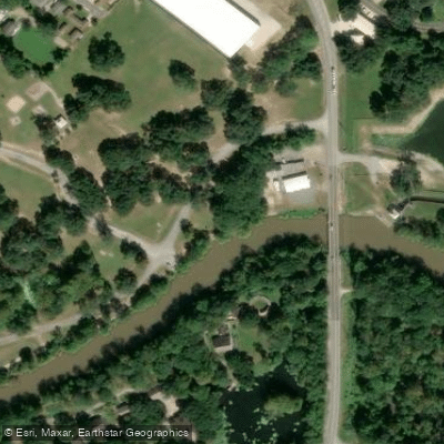
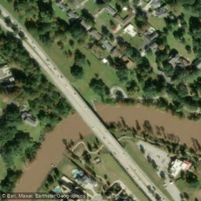
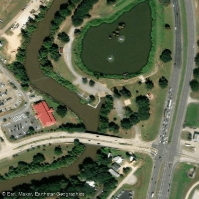
Primary access points include: - Acadiana Park Nature Station (Lafayette) - Vermilionville (300 Fisher Road, Lafayette) - Camellia Bridge Launch (Bellaire Road, Lafayette) - Southside Park (E. Broussard Road, Lafayette)
The Vermilion River played a crucial role in the settlement and development of Acadiana. Today, it remains an important part of the region's cultural identity, with efforts to improve water quality and promote recreation ongoing since the 1980s.
Safety considerations include being aware of motorboat traffic, especially on weekends, and checking water quality reports before paddling. Life jackets are required by law.
For those seeking a longer adventure, the Vermilion Voyage offers a guided 50-mile, 3-day paddle from Lafayette to Palmetto Island State Park. This trip showcases the full range of the river's beauty and cultural significance, complete with evening entertainment and local cuisine.
Water access, boat ramps & amenities
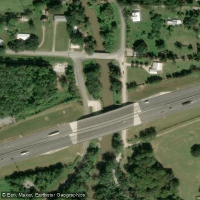
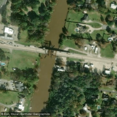
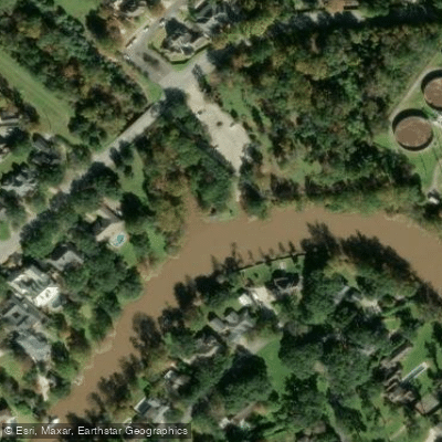
Learn how to get on Vermilion River. Uncover great paddling access points, boat ramps, and all the facilities you need for an unforgettable day on the water. Some locations shown may border or include private property. Always check property boundaries and applicable regulations before visiting. PaddleWays's Public & Private Land layer can help you plan your access with confidence.
Paddle smarter with real-time insights
Whether you're en route and conditions shift or you're looking for the best spot based on current flows, we enable you to make informed decisions on the fly.








Find Places to Paddle

Over 400,000 Places to Paddle
Every user gets free access to launch points, boat ramps, and public property parcels.


Water and weather conditions (10 day forecast)
See the best times to paddle Vermilion River and check the forecast before you go.
Vermilion River at Hwy 92 at Milton, LA
All Flow Stations
Paddling near Vermilion River
Lake Chicot

Mississippi River
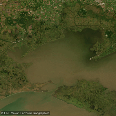
Vermilion Bay
Bayou Teche
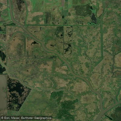
Bayou Carlin
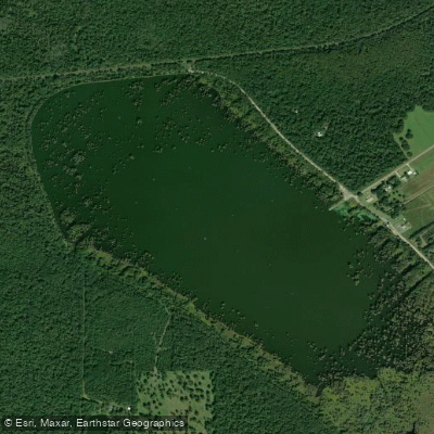
Lake la Pointe
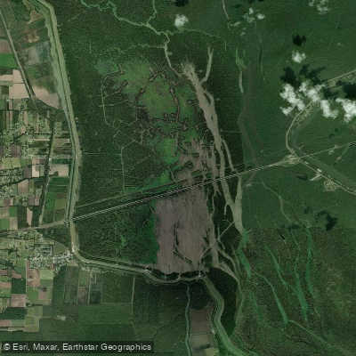
Lake Bigeux
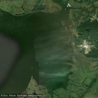
Weeks Bay
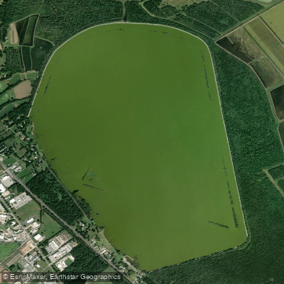
Spanish Lake
Explore Louisiana waters
Top paddling waters
Popular Cities
Loading popular cities...
Explore near Vermilion River
Access points
- Bayou Vermilion Water District Boat Ramp
- Vermilion Boat Ramp
- Rotary Point Boat Ramp
- Bayou Vermilion District Park Boat Ramp
- Haymann Park Boat Ramp
- Bayou Vermilion Boat Ramp
- Beaver Park Boat Ramp
- Vermilion River Boat Ramp
- Vermilion River Bridge
- Vermilion River Bridge
- Vermilion River Bridge
- Vermilion River Bridge
- All 147 spots
Nearby waters
More in Louisiana

Smarter Paddling Starts in the App.
Paddleways gives you everything you need to plan smarter, paddle better, and own every trip from first launch to takeout.