Vermilion Bay
- Saltwater
- Bay
Vermilion Bay
- Saltwater
- Bay
- Sq. miles
- 194
- Boat Ramps
- 0
- Access Points
- 0
- Campsites
- 0
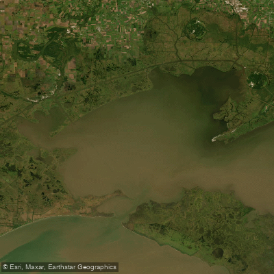
Vermilion Bay is a large, open saltwater bay in coastal Louisiana, directly connected to the Gulf of Mexico. It is characterized by low-lying, treeless brackish marsh and offers paddlers a mix of expansive open water and secluded, shallow marsh channels. The bay sees significant commercial and recreational boat traffic, particularly from the oil and gas industry, whose large barges and crew boats produce major wakes that can swamp small craft and present a serious hazard to paddlers. High winds can also create choppy conditions across the open water, making self-rescue skills essential. The primary access points for paddlers are Cypremort Point State Park, which has a dedicated kayak and canoe launch at the end of Beach Lane and charges a per-person entrance fee, and the boat launch at Burns Point. These two points define the Cypremort Point Paddling Trail, a significant saltwater route where a direct crossing of the bay between them is approximately 25 miles. Paddling along the shoreline between the two points is a longer route of roughly 37 miles. The area is exposed, with sandy beaches at Cypremort Point and views of oil platforms, shrimp boats, and abundant shorebirds like pelicans. Summers from May through September can be extremely hot, requiring ample water and sun protection. While the bay itself is open and industrial, the adjacent marshes of places like Marsh Island Wildlife Refuge contain many little-explored bayous and marshes inaccessible to powerboats, offering solitude and a chance to observe wildlife including alligators and waterfowl. Paddlers should be vigilant for sudden storms and plan trips around tides, as the connected Vermilion River is tidal and currents in the area are influenced by tidal flow, wind, and rain.
Water access, boat ramps & amenities
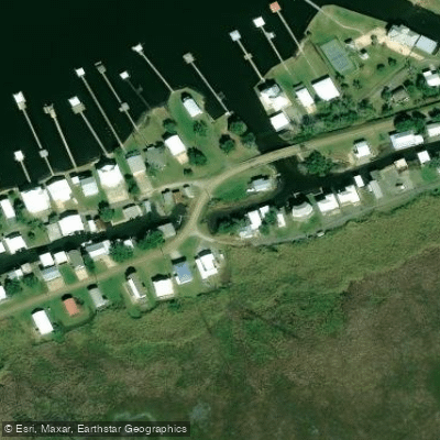
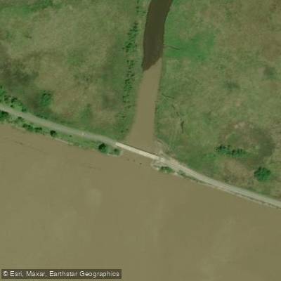
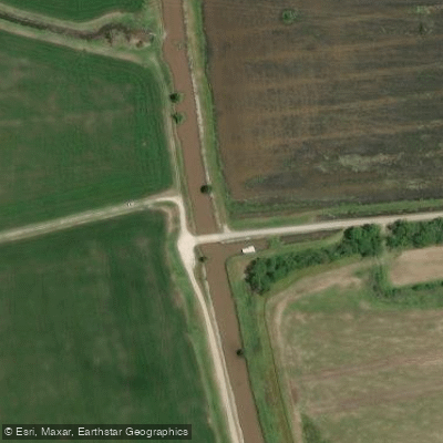
Learn how to get on Vermilion Bay. Uncover great paddling access points, boat ramps, and all the facilities you need for an unforgettable day on the water. Some locations shown may border or include private property. Always check property boundaries and applicable regulations before visiting. PaddleWays's Public & Private Land layer can help you plan your access with confidence.
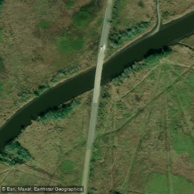
Paddle smarter with real-time insights
Whether you're en route and conditions shift or you're looking for the best spot based on current flows, we enable you to make informed decisions on the fly.








Find Places to Paddle

Over 400,000 Places to Paddle
Every user gets free access to launch points, boat ramps, and public property parcels.


Tides, wind & water conditions (10 day forecast)
On open water, wind and tide matter as much as the weather. See the best times to paddle Vermilion Bay and check the marine forecast before you launch.
Loading tide predictions…
Paddling near Vermilion Bay

Mississippi River
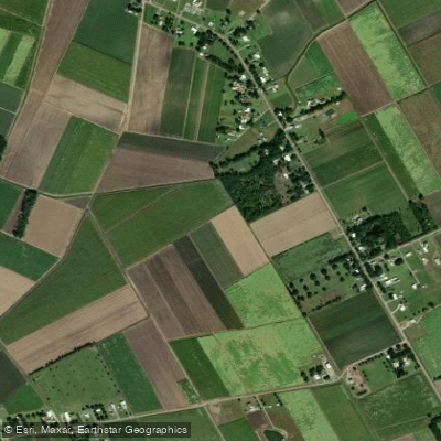
Bayou Teche
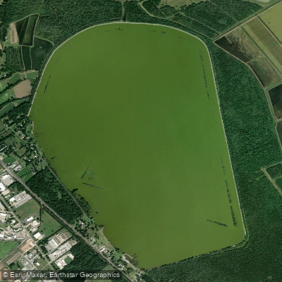
Spanish Lake
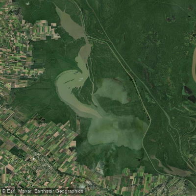
Lake Fausse Pointe
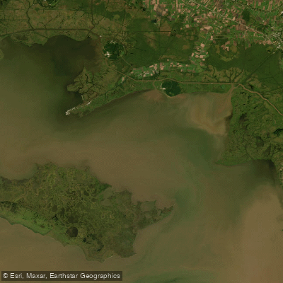
West Cote Blanche Bay
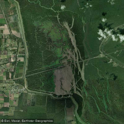
Lake Bigeux
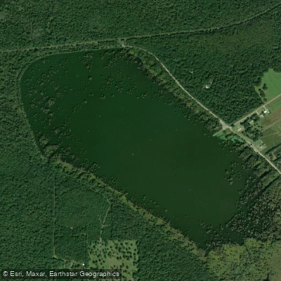
Lake la Pointe
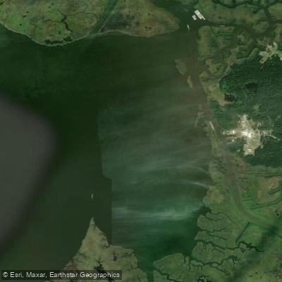
Weeks Bay
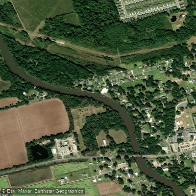
Vermilion River
Explore Louisiana waters
Top paddling waters
Popular Cities
Loading popular cities...
Explore near Vermilion Bay

Smarter Paddling Starts in the App.
Paddleways gives you everything you need to plan smarter, paddle better, and own every trip from first launch to takeout.